Location PowerPoint Templates
Say a store is opening in Austin, and the slide reads “New Location: Austin.” The audience takes away the name of a city and nothing more. A location PowerPoint template turns that line into something the room can actually read: a pin on the map, the address beside it, the streets around it, and the region it sits inside. Real estate teams and regional managers reach for these layouts most, because place-specific detail is the substance of what they present rather than a decoration on it.

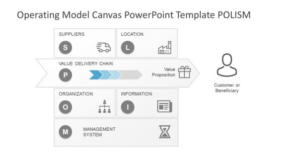
Operating Model Canvas PowerPoint Template
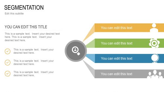
STP PowerPoint Template

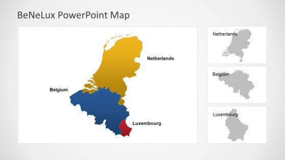
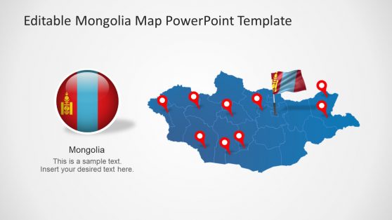
A Location Slide Has to Be More Specific Than a Pin on a Map
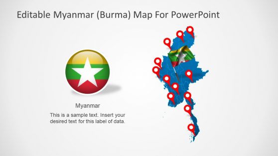
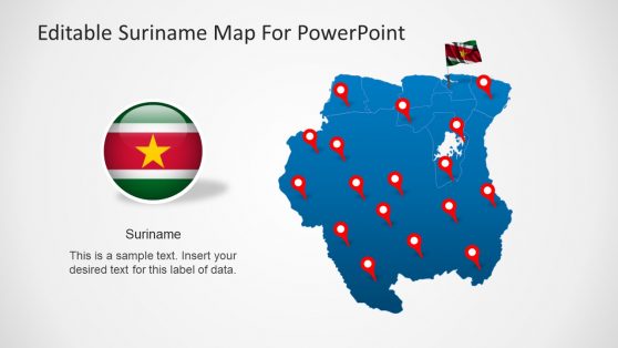
A pin dropped on a world map confirms that something exists somewhere. It answers none of the questions the room asks next. Is the site reachable, and how does it compare with the other two under consideration? Location templates carry the marker further, setting it against address details, what sits nearby, travel time, and a side-by-side comparison layout, so the audience can weigh a place instead of merely finding it.
In site selection work, the surroundings are the decision and the coordinates are only its label. A team presenting regional analysis with an editable PowerPoint map can drop into the location template for the one site that needs a slide of its own.
What’s Included in a Location PowerPoint Template
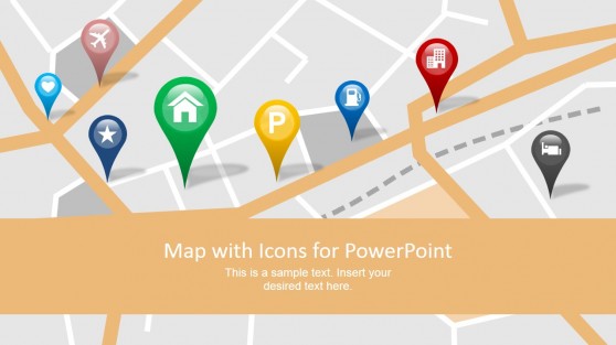
A location PPT template is a slide set built around map pins, address callouts, and proximity context for presenting a specific place. A complete set typically covers:
- Map pin graphics with editable address and label details
- Proximity slides showing distance to relevant landmarks or infrastructure
- Multi-location comparison layouts for site selection
- Regional context maps zooming from broad area to specific site
Real Estate, Logistics, and Anyone Presenting a Place
A real estate agent walking a prospective tenant through a property leans on the pin and proximity slide, since the case for a building is mostly a case about what surrounds it. Logistics planning works differently: the multi-location comparison carries the meeting when three warehouse sites are on the table, and one of them gets funded. For regional managers, the task is orientation, giving headquarters leadership a feel for a market nobody in the room has visited before the numbers go up.
Because the maps stay editable once the file opens in Google Slides, a regional lead can move a pin or relabel a site during the review itself instead of sending a corrected deck afterward.
What is a location presentation template?
A generic map pin says almost nothing on its own, while address callouts and proximity context tell an audience specifically what’s nearby and why it matters.
How do I create a location PowerPoint template?
Start from a map pin layout already structured, then add your specific address, proximity details, and any comparison context relevant to your presentation.
Where can I find a free location PowerPoint template?
Our collection includes free and premium location layouts, covering map pins, proximity slides, and multi-location comparison formats.
Are location templates useful for comparing multiple sites at once?
Yes. The multi-location comparison layout is built specifically for site selection presentations where several locations need to be evaluated side by side against the same criteria.
Can the multi-location comparison layout score sites against custom criteria?
Yes, the comparison columns are fully relabeled, so whatever criteria matter for your site selection, cost, access, zoning, can be scored side by side.
Do the proximity slides calculate actual distance, or just show relative closeness visually?
They show relative visual proximity by default; exact distance figures can be added as text labels if precise numbers matter for your specific decision.
Can the regional context map zoom through more than two levels, like country to city to neighborhood?
Yes, additional zoom-level slides can be added between the broad and specific views, useful when the audience needs more than a two-step geographic narrowing.