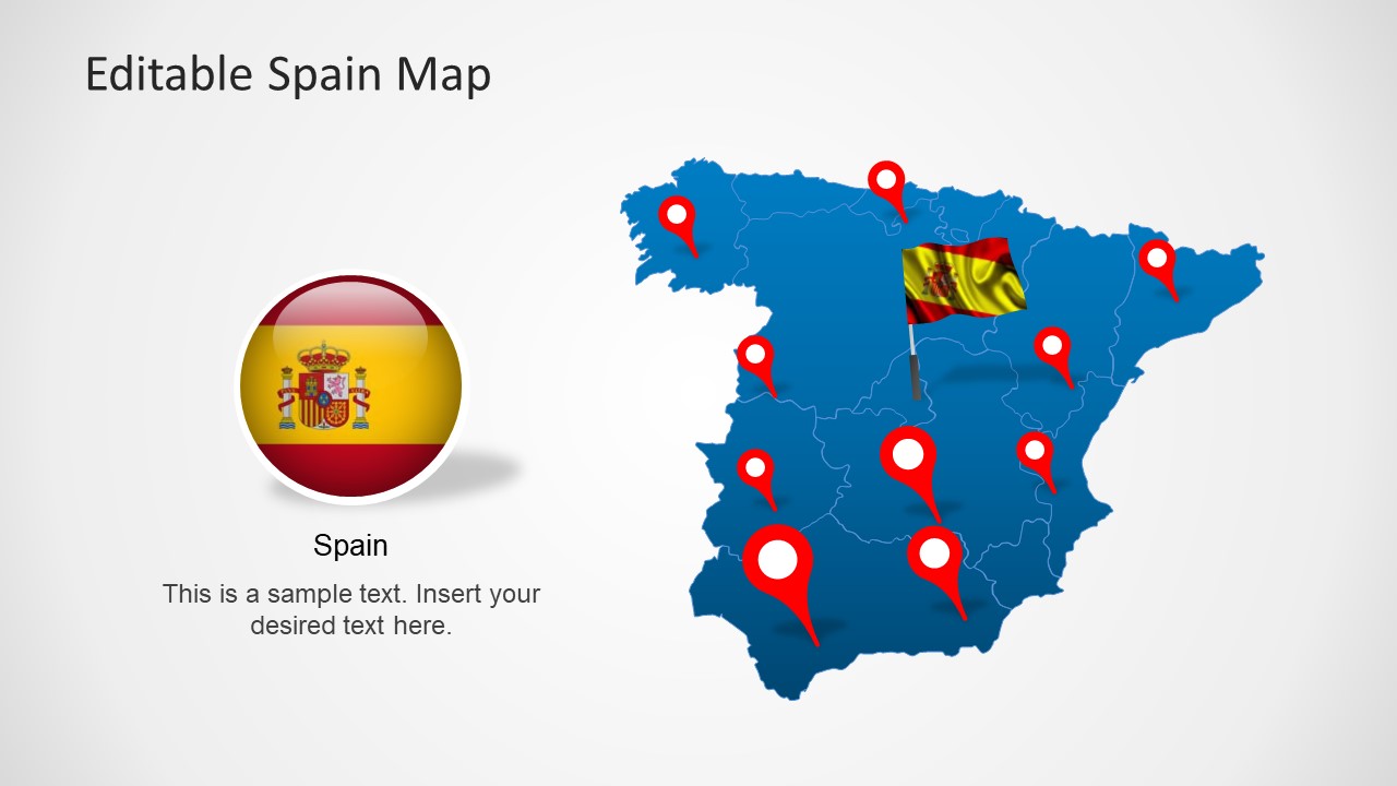
Editable Spain Map Template for PowerPoint is a presentation template containing maps of Spain. This map template of Spain for PowerPoint contains several slides with Spain map including states. You can download Map PowerPoint templates for presentations to decorate your slides with map outlines and political maps. You can learn more how to use maps in PowerPoint reading our article in the blog.
What’s inside this template
Example presentation scenarios
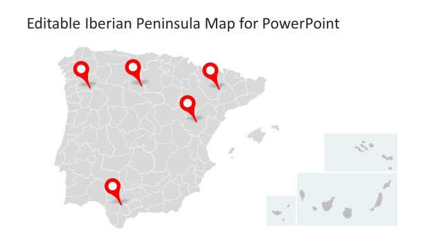
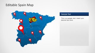
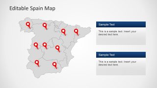
- A sales manager can present Spanish market coverage by placing office, distributor, or customer locations on the red pin map and adding notes in the adjacent text panels.
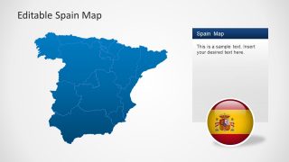
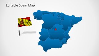
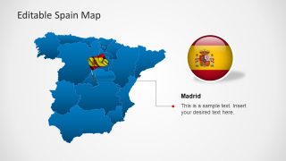
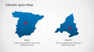
- An educator can explain Spain's regional geography using the blue political map, gray map variation, and Madrid zoom slide to separate national context from local detail.
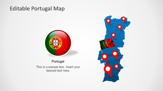
- A tourism planner can show itinerary stops or destination clusters with the pinned Spain maps and use the flag graphics to keep the discussion clearly tied to the country.
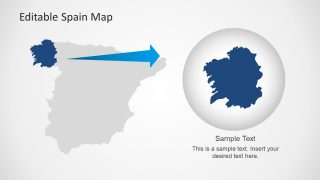
- A public-sector analyst can brief stakeholders on regional programs by using the shaded region map, leader-line callout, and zoom inset to identify priority areas.
Features
- 100% editable presentation template
- Compatible with Microsoft PowerPoint and Google Slides
- Scalable vector shapes, icons and illustrations
- AI-Ready for Microsoft Copilot and Claude
- Instant access and download
Frequently asked questions
Q: How should a presenter organize the message when using this Spain map template?
A: Start with a national map to orient the audience, then move to pinned locations or shaded regions that support the main point. Use the Madrid callout and zoom slide only when a local detail needs extra attention. Keep each map tied to one question, such as coverage, priority area, or regional comparison.
Q: Who is this template best suited for in a business or education setting?
A: This template is best for presenters who need Spain as the primary geographic frame, such as sales leaders, operations planners, tourism teams, educators, or public-sector analysts. The location pins, text panels, and Madrid zoom help explain where activity happens without turning the deck into a data-heavy report.
Q: Why do the pins, flag markers, and zoom views help communicate the geography?
A: The visual metaphors separate three levels of meaning: pins show specific points, the flag reinforces national context, and the zoom view signals closer inspection. This makes the map easier to scan because the audience can distinguish country identity, regional structure, and selected locations before reading the supporting text.


Editable Spain Map Template for PowerPoint
8-slide PowerPoint map template for Spain regions, Madrid callouts, location pins, and flag markers
This 8-slide PowerPoint map template presents Spain with editable regional maps, location pins, Madrid callouts, flag markers, and zoom-in region views. It is built for business, education, tourism, sales, and public-sector presentations that need to show Spanish geography, territories, offices, routes, or market coverage using editable vector shapes.


 Loading...
 Microsoft PowerPoint
  Microsoft Copilot
  Claude for PowerPoint
 Other formats supported
Subscribe today and get immediate
access to download our PowerPoint templates.