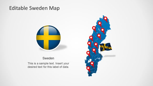
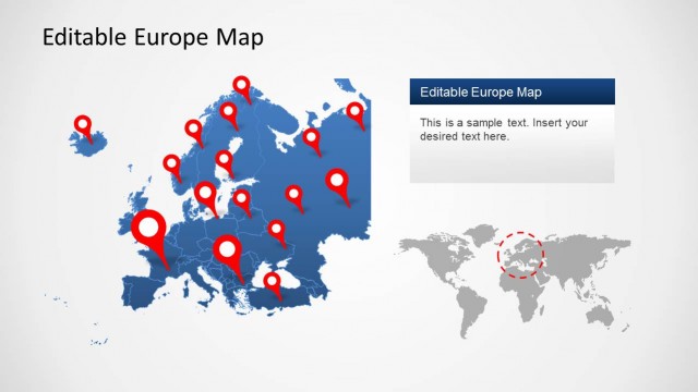
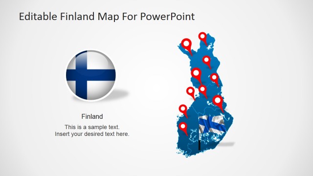
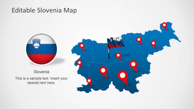
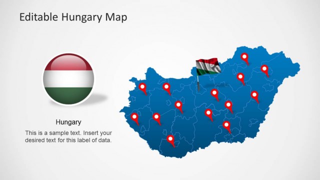
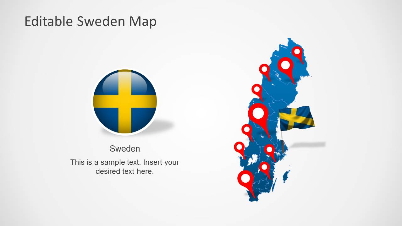
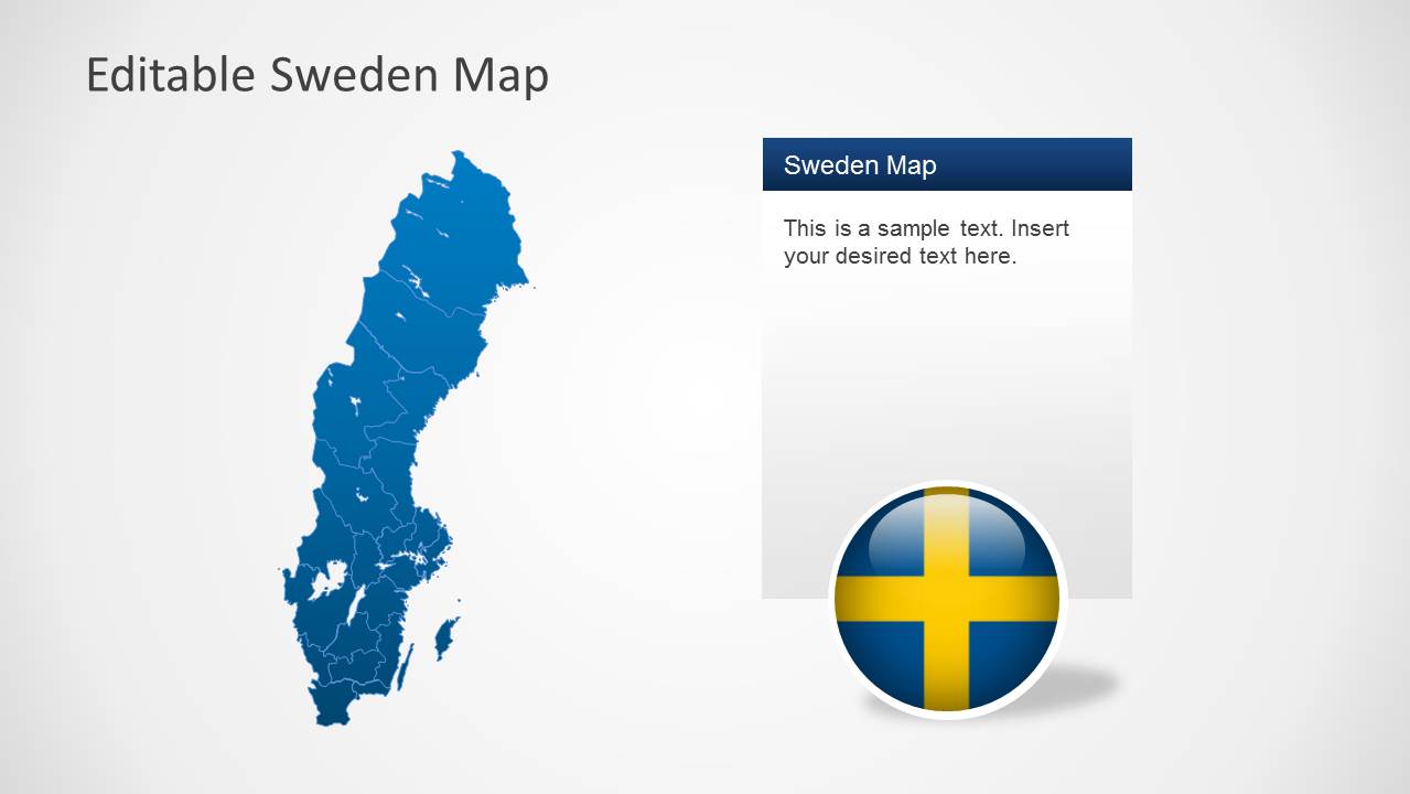
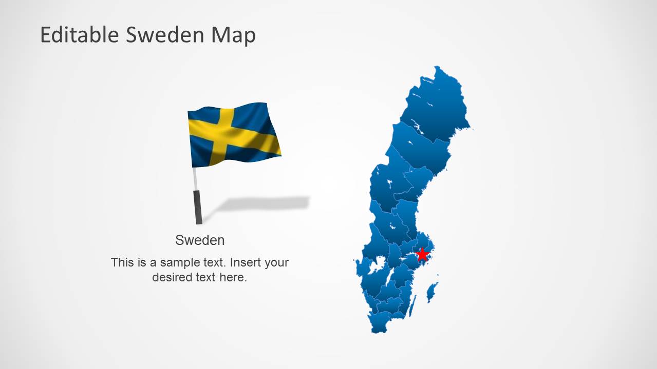
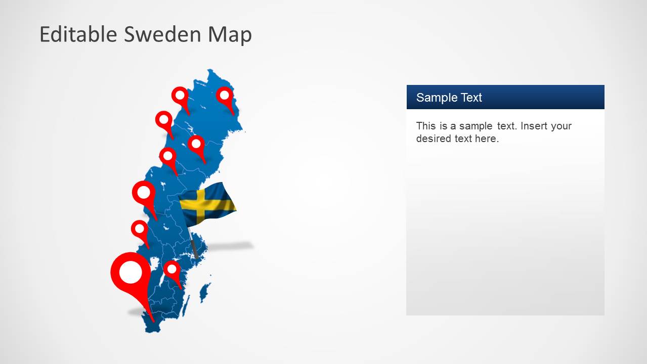
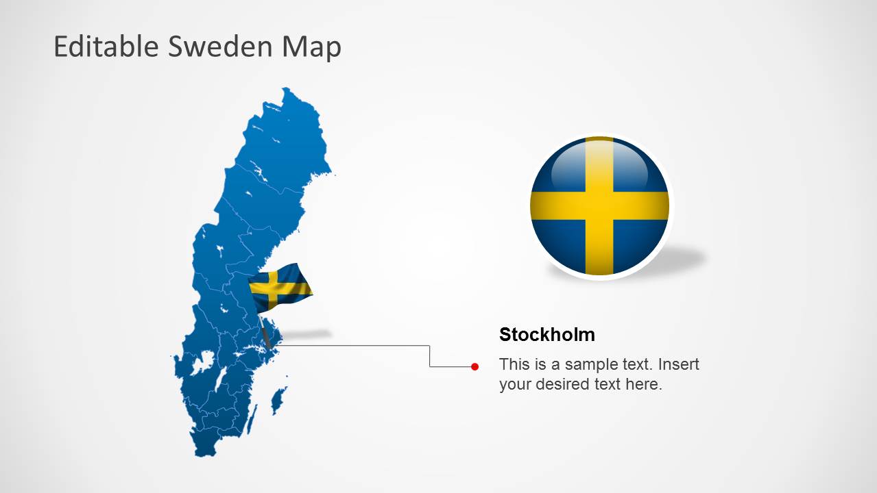
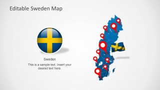
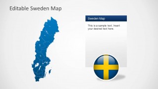
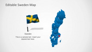
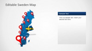
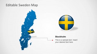
Editable Sweden Map Template for PowerPoint is a PowerPoint Map Template depicting a map of Sweden with a Swedish flag.
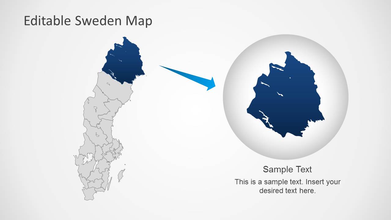
This template accurately presents different areas of Sweden, which can be represented in your presentation slides both with the composite map and individually, by dragging a specific region from the main map.
You can use this template with a variety of presentation topics, with the aid of visually appealing slide layouts which show the map of Sweden and the Swedish flag with different slide designs.
What’s inside this template
Example presentation scenarios
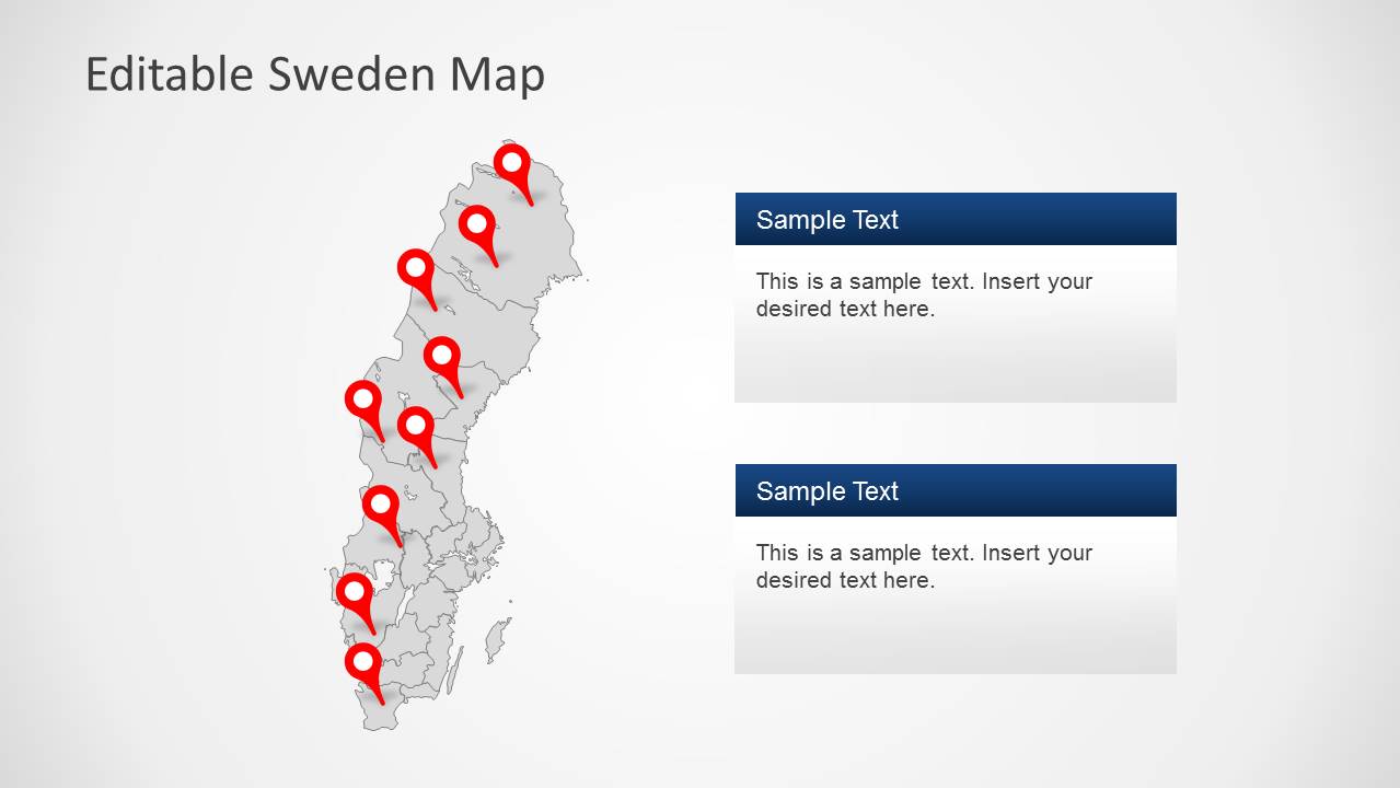
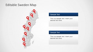
- A market analyst can present Swedish regional opportunities by pairing the blue national map with red location pins and short explanatory text panels.
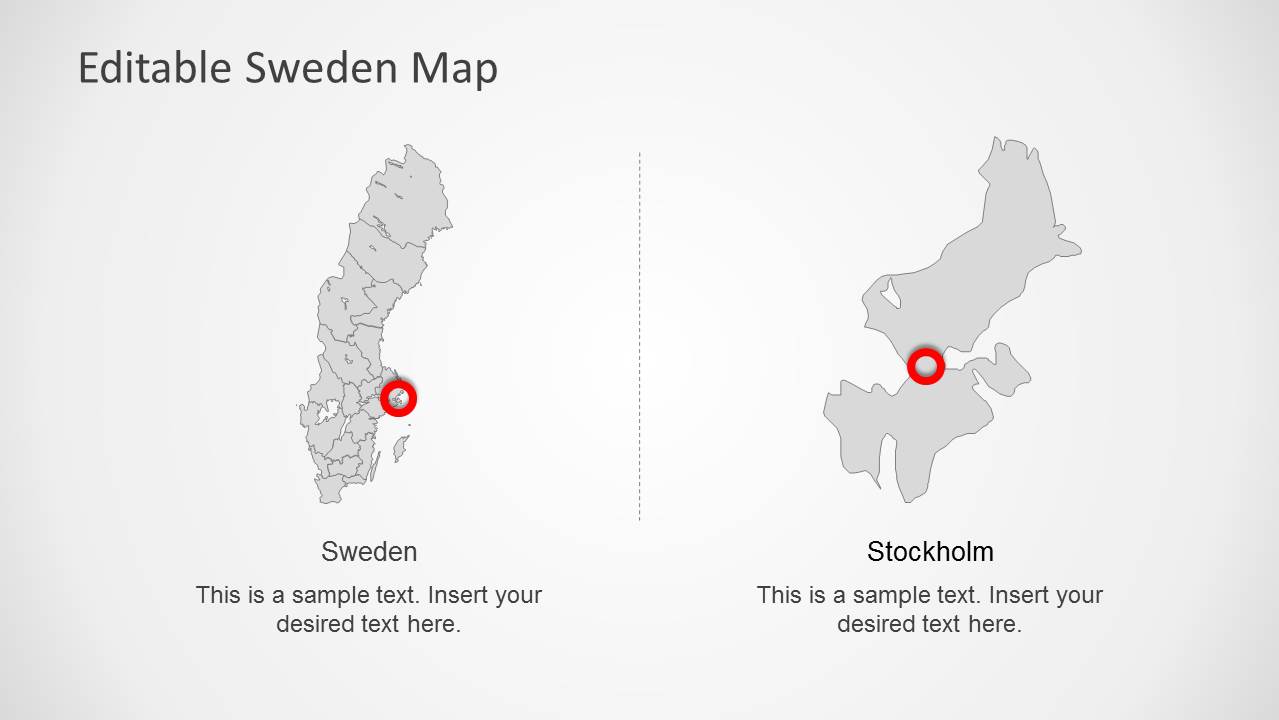
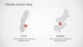
- A sales manager can explain territory coverage in Sweden using the pinned map layouts, then focus attention on Stockholm with the dedicated callout slide.
- A public sector presenter can brief stakeholders on Swedish geographic areas by using the gray regional map, red markers, and two text cards for policy or project notes.
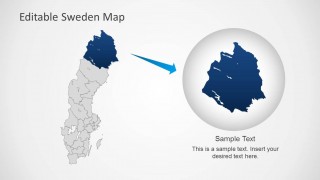
- An educator or travel presenter can introduce Sweden's location and flag identity with the flag graphics, national map overview, and magnified regional highlight.
Features
- 100% editable presentation template
- Compatible with Microsoft PowerPoint and Google Slides
- Scalable vector shapes, icons and illustrations
- AI-Ready for Microsoft Copilot and Claude
- Instant access and download
Frequently asked questions
Q: How should a presenter structure a clear Sweden geography story with this template?
A: Start with the full blue Sweden map to orient the audience, then use the red pins only for the places that matter to the message. Move to the Stockholm callout or the magnified region slide when the story needs local detail. Keep each text panel brief so the map remains the main evidence.
Q: Who is this template best suited for, and what message does it support?
A: This template fits presenters who need to explain Sweden-specific presence, coverage, or regional focus without building a map from scratch. Sales teams can show territories, consultants can summarize market areas, public agencies can identify project locations, and educators can introduce Swedish geography with clear flag and map cues.
Q: Why do the flag, pins, and zoomed region improve the presentation?
A: The Swedish flag quickly confirms national context, while red pins create immediate location hierarchy against the blue and gray maps. The zoomed region slide acts like a visual magnifier, helping the presenter shift from national overview to a specific area without forcing the audience to search the full map.
Editable Sweden Map Template for PowerPoint
8-slide PowerPoint presentation template with editable Sweden maps, flag graphics, and regional callouts
This 8-slide PowerPoint map template presents Sweden with editable regional maps, Swedish flag graphics, red location pins, a Stockholm callout, and a magnified region view. It is built for presenters who need to show geography, locations, service areas, or regional focus inside Sweden using map-based slide layouts.

 Loading...
 Microsoft PowerPoint
  Microsoft Copilot
  Claude for PowerPoint
 Other formats supported
Subscribe today and get immediate
access to download our PowerPoint templates.