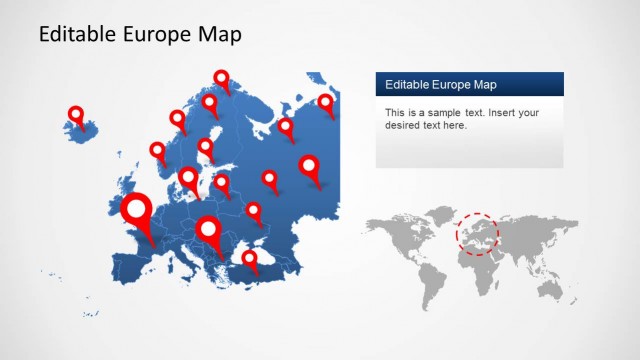
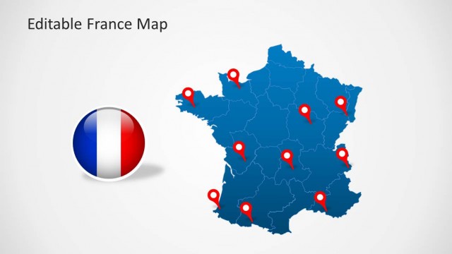
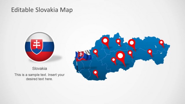
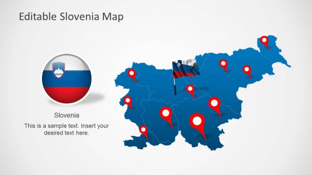
Download Editable Ireland Map Template for PowerPoint. Create presentations with a complete and customizable map of Ireland.
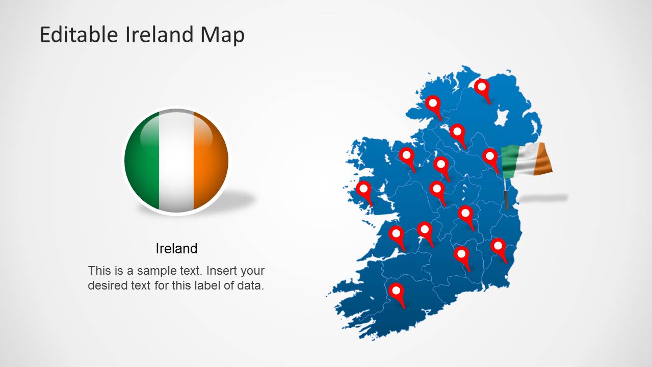
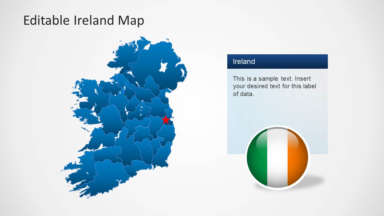
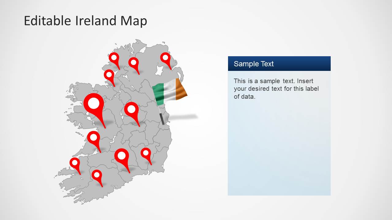
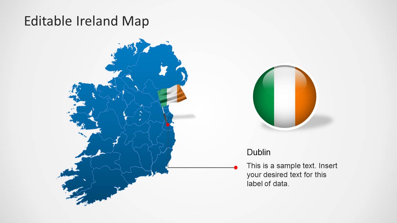
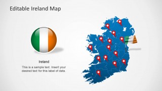
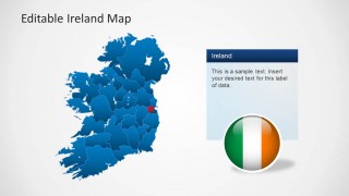
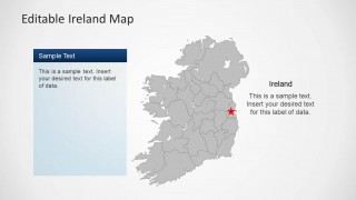
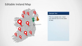
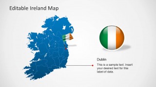
With this map template you can display a map of Ireland and its various regions and even highlight specific areas on the map by changing the color or size of a region. The sample slides also provide clipart images including the flag of Ireland and GPS markers.
Also check out editable maps for different countries, continents and the world from our collection of PowerPoint Map Templates.
What’s inside this template
Example presentation scenarios
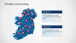
- A sales manager can brief leadership on Ireland territory coverage by using the blue full-country pin map and stacked text panels to separate active markets from planned expansion areas.
- A tourism presenter can introduce destination clusters across Ireland by combining the locator pin maps with the Ireland flag badge to keep the location story visually tied to the country.
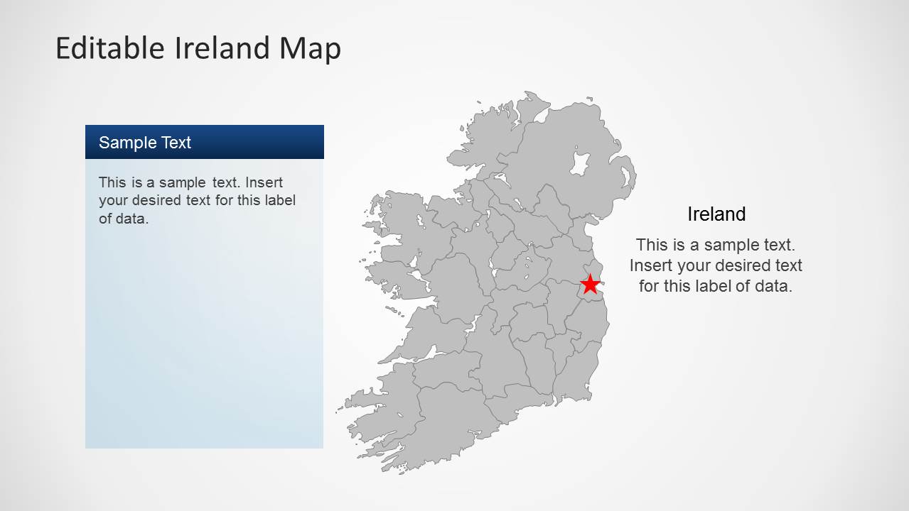
- A public sector analyst can explain where a program operates by using the gray map with a red star marker and side text panel for a focused regional note.
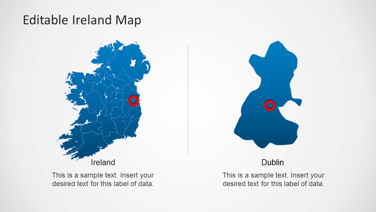
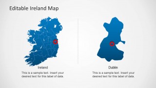
- A consultant can discuss Dublin separately from the rest of Ireland by using the two-panel layout with the full map and isolated Dublin area shape.
Features
- 100% editable presentation template
- Compatible with Microsoft PowerPoint and Google Slides
- Scalable vector shapes, icons and illustrations
- AI-Ready for Microsoft Copilot and Claude
- Instant access and download
Frequently asked questions
Q: How should I present regional differences without making the Ireland map feel crowded?
A: Use one geographic idea per slide. Start with a full-country map to orient the audience, then move to a single star marker, Dublin callout, or regional zoom when detail is needed. Keep text panels short and use pins only for locations that support the decision or explanation.
Q: Who is this map template best suited for?
A: It fits presenters who need an Ireland-specific geographic view rather than a generic country placeholder. Sales teams, tourism groups, public agencies, educators, and consultants can use the regional map, locator pins, and Dublin focus slide to explain where activity happens and why those places matter.
Q: Why do the pins, flag badge, and zoomed region layouts help communication?
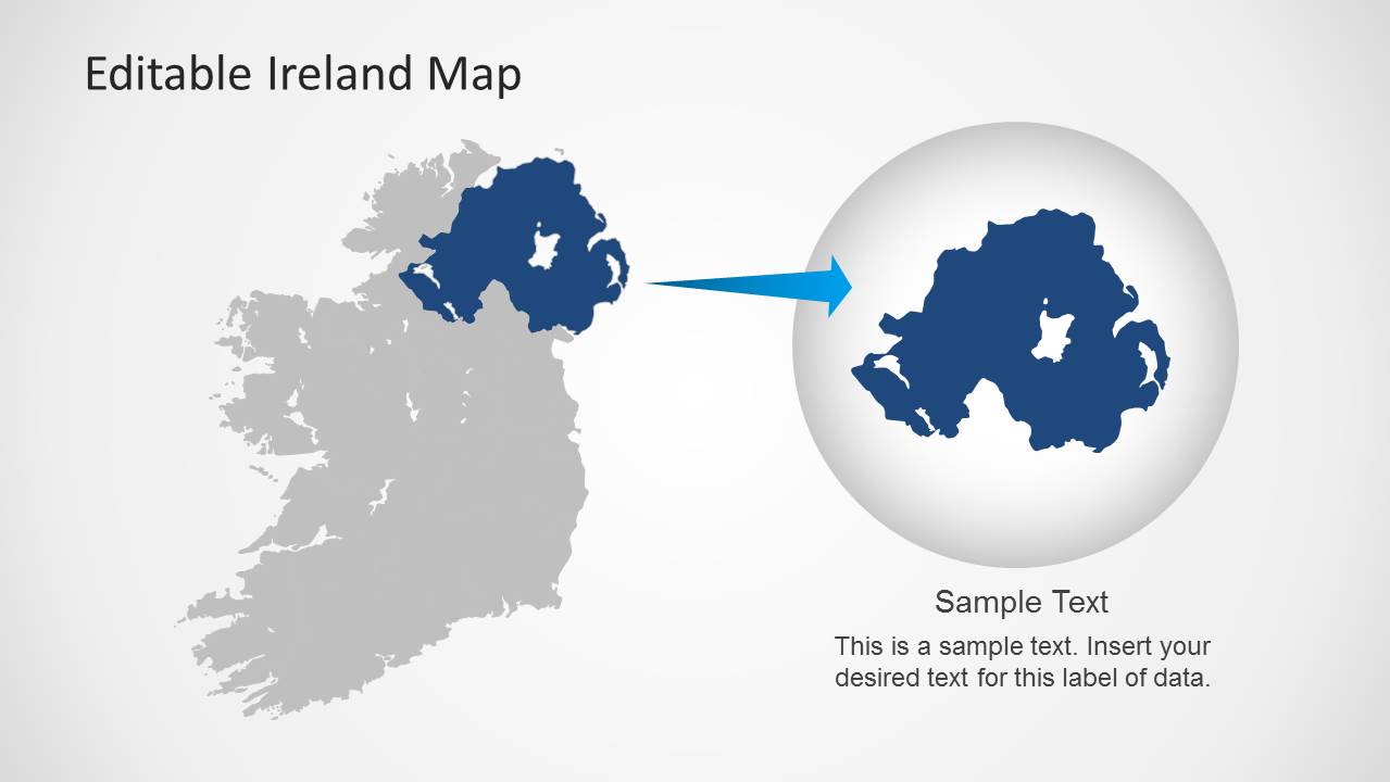
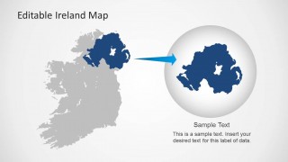
A: The red pins act as a familiar GPS metaphor, so audiences immediately read them as locations. The flag badge confirms country context, while the circular zoom layout turns one region into the main point of attention. This reduces the need for long explanations before the presenter discusses the place.

Editable Ireland Map Template for PowerPoint
8-slide PowerPoint presentation template with Ireland regions, locator pins, and flag badges
Editable Ireland Map Template for PowerPoint is an 8-slide map presentation template for showing Ireland locations and regions. It includes full-country maps, red locator pins, flag badges, Dublin callouts, text panels, and a regional zoom layout for business, tourism, public sector, and education presenters using PowerPoint.


 Loading...
 Microsoft PowerPoint
  Microsoft Copilot
  Claude for PowerPoint
 Other formats supported
Subscribe today and get immediate
access to download our PowerPoint templates.