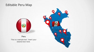
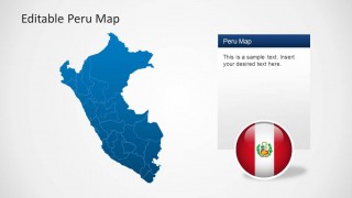
Download an editable map for Peru with the Editable Peru Map Template for PowerPoint. This presentation template depicts composite maps for Peru, which can be used to not only represent the map of the whole country but also individual regions.
This Map Template for PowerPoint provides a customizable map with regions like Iquitos, Tumbes, Plura, Puno, Tacna and other parts of Peru that you can also single out by dragging out the region from the main map.
Also check out our collection of South American Map Templates and map PowerPoint templates.
What’s inside this template
Example presentation scenarios
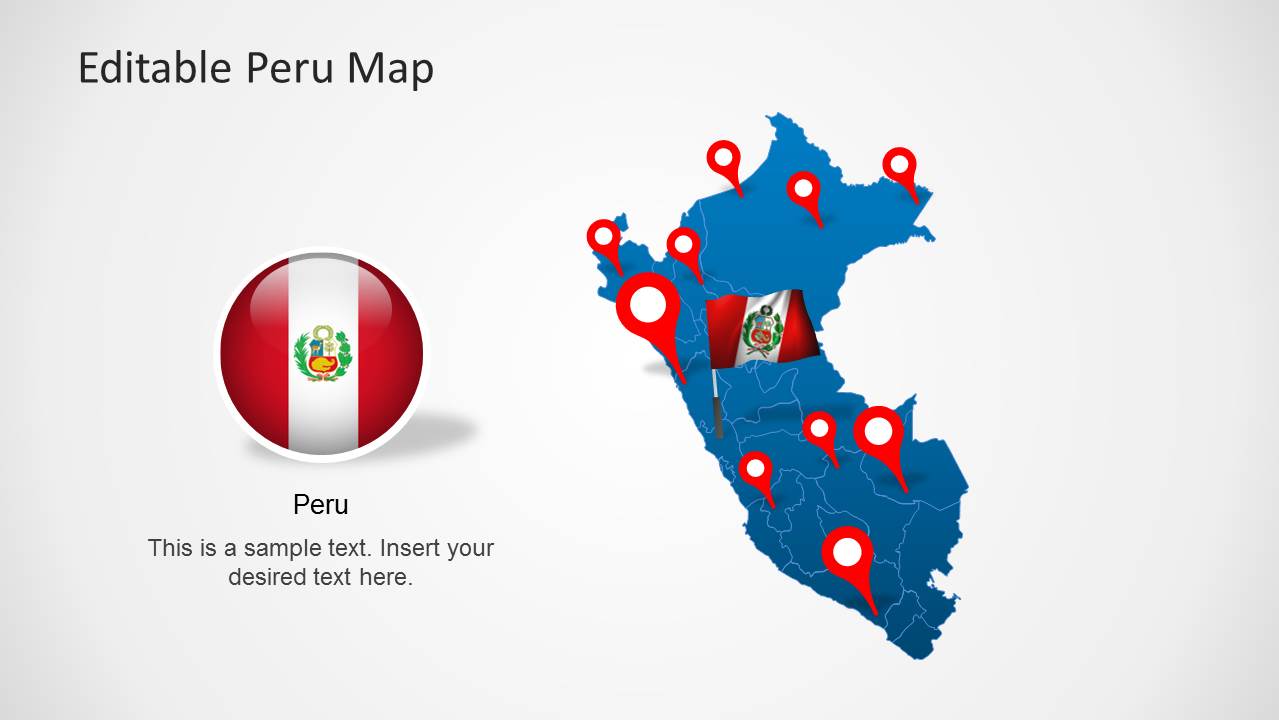
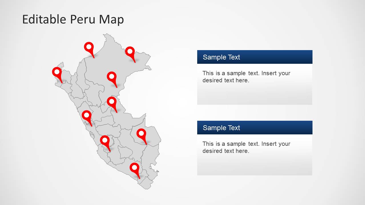
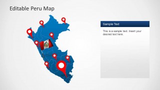
- A regional sales manager can use the pinned Peru maps to show current customer locations, planned territory coverage, and priority cities during a market review.
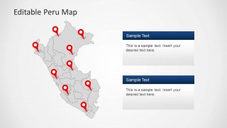
- A public-sector presenter can use the gray map with red pins and two callout panels to report program activity across different Peruvian regions.
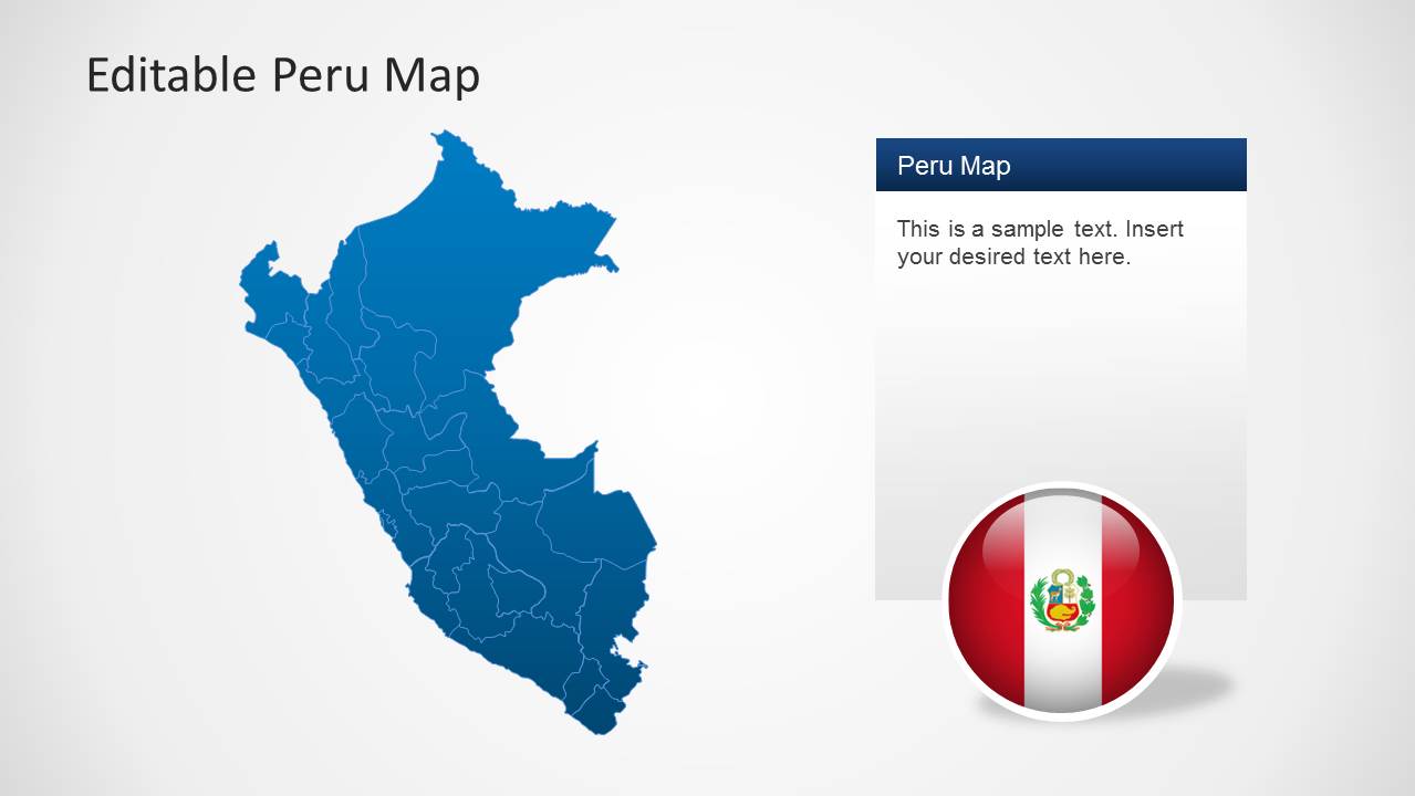
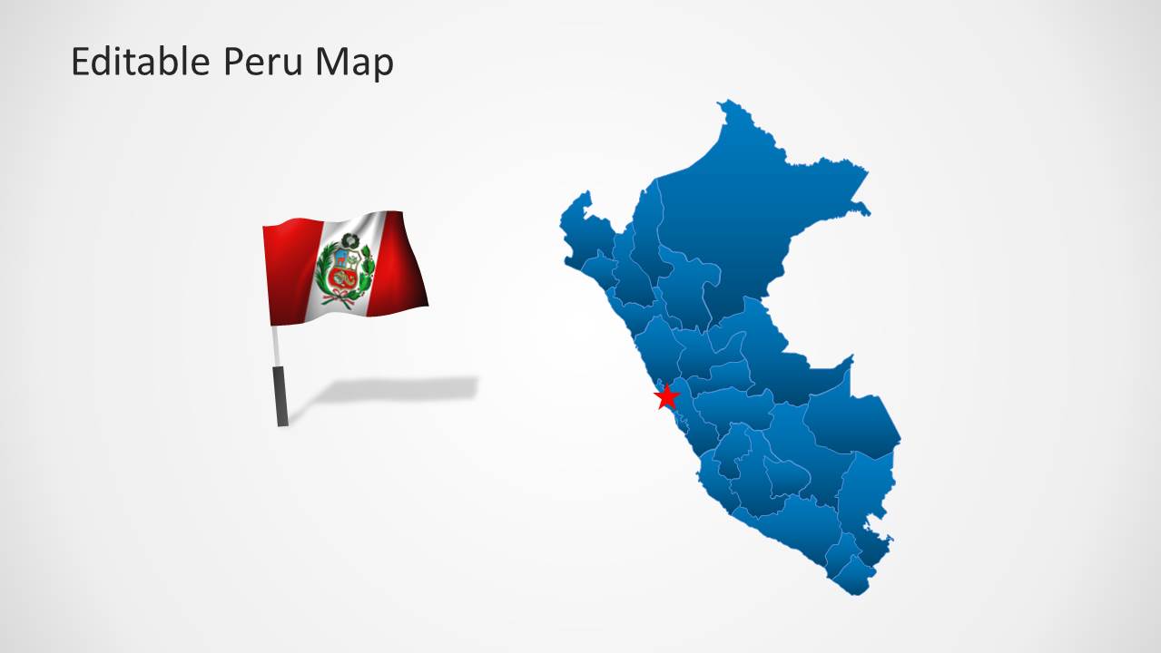
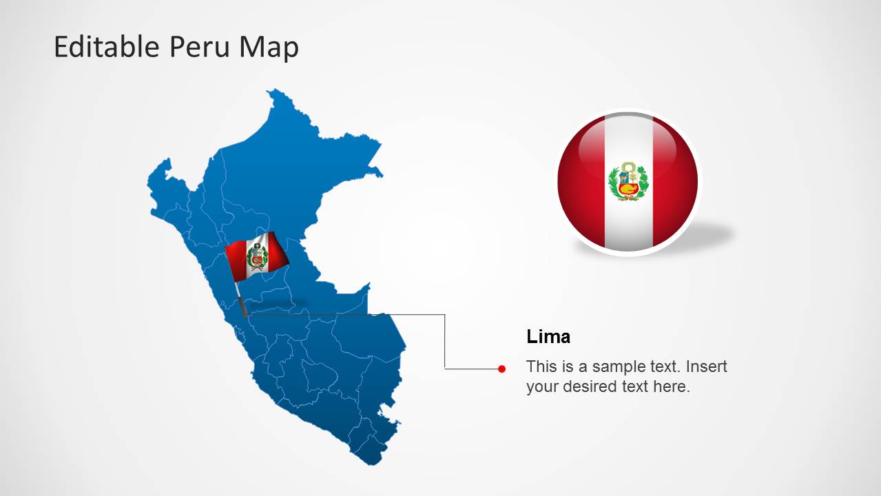
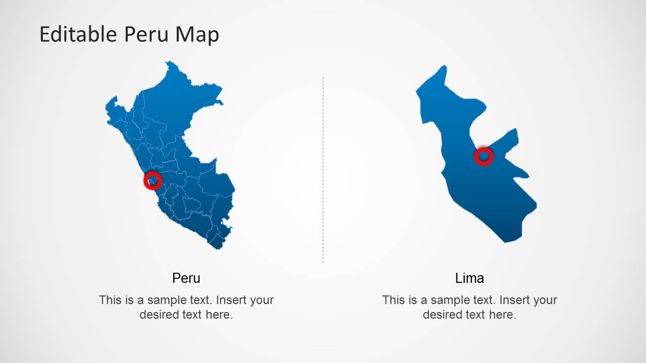
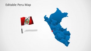
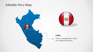
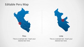
- An educator can use the full-country map, flag visuals, and Lima detail slide to introduce Peru's geography and capital city in a classroom presentation.
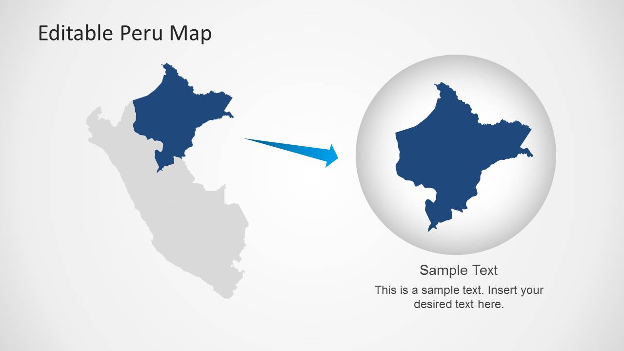
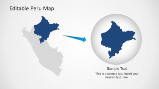
- A logistics or travel planner can use the magnified region view and map callouts to explain a route, destination cluster, or operational area within Peru.
Features
- 100% editable presentation template
- Compatible with Microsoft PowerPoint and Google Slides
- Scalable vector shapes, icons and illustrations
- AI-Ready for Microsoft Copilot and Claude
- Instant access and download
Frequently asked questions
Q: How should a presenter organize a Peru location briefing with this template?
A: Start with the full-country map to orient the audience, then move to pinned maps for specific sites or regions. Use the text callout panels to explain why each location matters, not just where it is. Reserve the Lima detail slide for capital-specific discussion so the geographic story narrows from national context to local focus.
Q: Who is this Peru map template best suited for?
A: This template fits presenters who need to explain Peru-specific geography without building a map from scratch. Regional managers, educators, public-sector teams, travel planners, and consultants can use the pinned maps, flag visuals, and Lima detail to discuss locations, coverage areas, destinations, or field activity in a clear visual format.
Q: Why do the pins, flags, and magnified region layouts improve communication?
A: The pins act as quick visual anchors, the flag graphics establish country context, and the magnified region slide gives the audience a closer view after seeing the full map. This sequencing helps viewers understand both the national frame and the selected area, reducing the need for dense explanatory text.

Editable Peru Map Template for PowerPoint
8-slide Peru map presentation template with regional pins, Lima detail, and flag visuals
Editable Peru Map Template for PowerPoint is an 8-slide map deck for geographic briefings about Peru. It includes a full-country map, regional pin maps, text callout panels, a Lima detail view, and Peru flag graphics. It is suited to business, education, public-sector, and travel presentations in PowerPoint.

 Loading...
 Microsoft PowerPoint
  Microsoft Copilot
  Claude for PowerPoint
 Other formats supported
Subscribe today and get immediate
access to download our PowerPoint templates.