Editable Iceland Map For PowerPoint
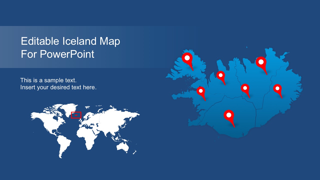
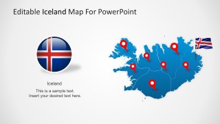
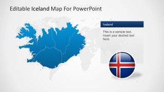
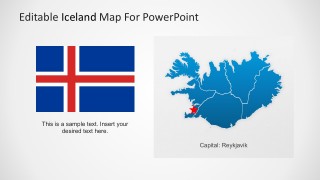
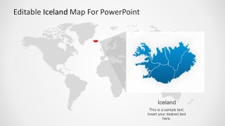
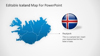
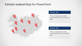
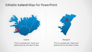
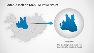
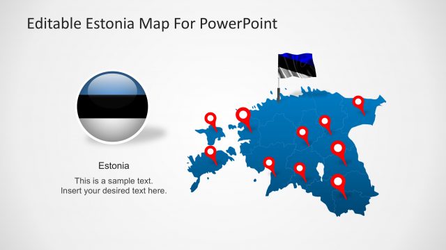
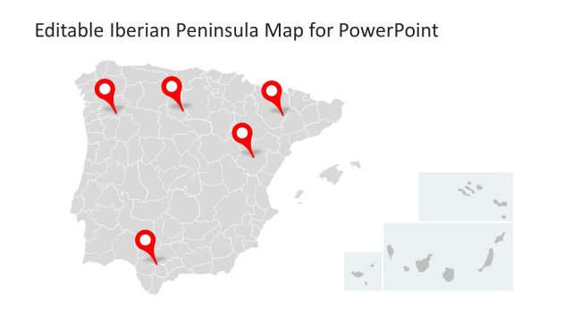
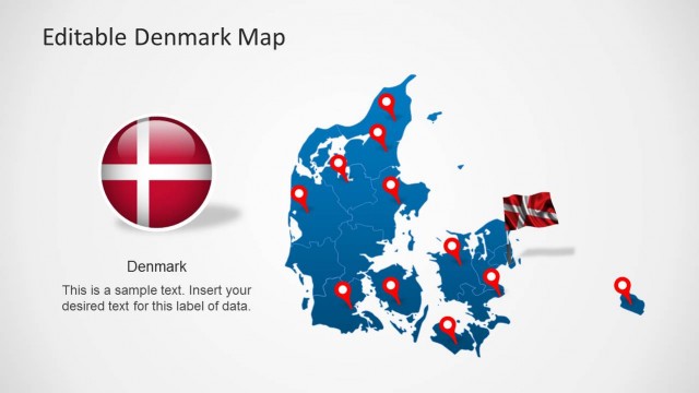
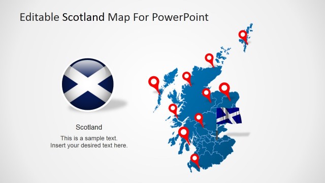
This Editable Iceland Map for PowerPoint contains editable shapes with built-in information on this Nordic country. It includes details on the Iceland geographical location, flag, the capital city, outline and administrative divisions. The PowerPoint slides come with a wide range of user-friendly features.
This high quality, editable PowerPoint Iceland Map have been carefully designed by professionals to display accurate locations and other geographic details. Each PowerPoint Map vector is 100% adaptable.
You can download this map to show sales territories, business locations, travel planning and related PowerPoint presentations. The slides in this Iceland Map are totally editable and can be diversified in multiple ways.
This Iceland PowerPoint Map Features:
- Completely customizable layout as areas on the map is designed with PowerPoint Shapes. You can easily drag and drop, remove, rearrange and emphasize sections of the map depending on your needs.
- Business oriented design, layouts, color, fonts and graphics.
- Fully editable font schemes, and color palette.
- Easy-to-edit text boxes, and all PowerPoint properties.
Alternatively, you can browse our presentation gallery to see our collection of PowerPoint Maps and Map Outlines. Download editable maps for PowerPoint presentations with customizable states that help you prepare awesome presentations with sales by country or territory.
