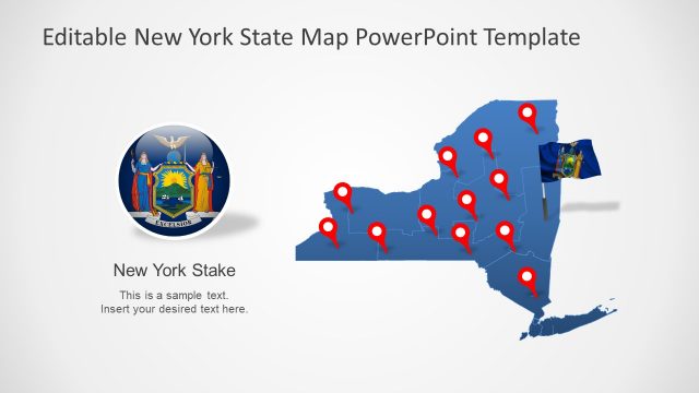
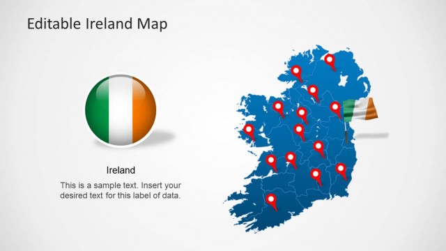
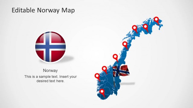
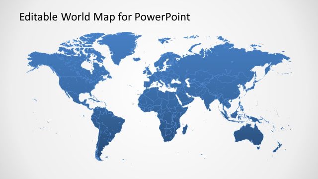
Editable New Zealand Map PowerPoint Template is an expertly crafted map template design for Microsoft PowerPoint presentations containing all major regions of New Zealand laid out in the form of an editable map.
This template map for PowerPoint provides a complete map of New Zealand with editable clipart & illustrations that you can manipulate in Microsoft PowerPoint, Keynote and Open Office. You can use the editable New Zealand map design to highlight areas or cities of the country from the main map.
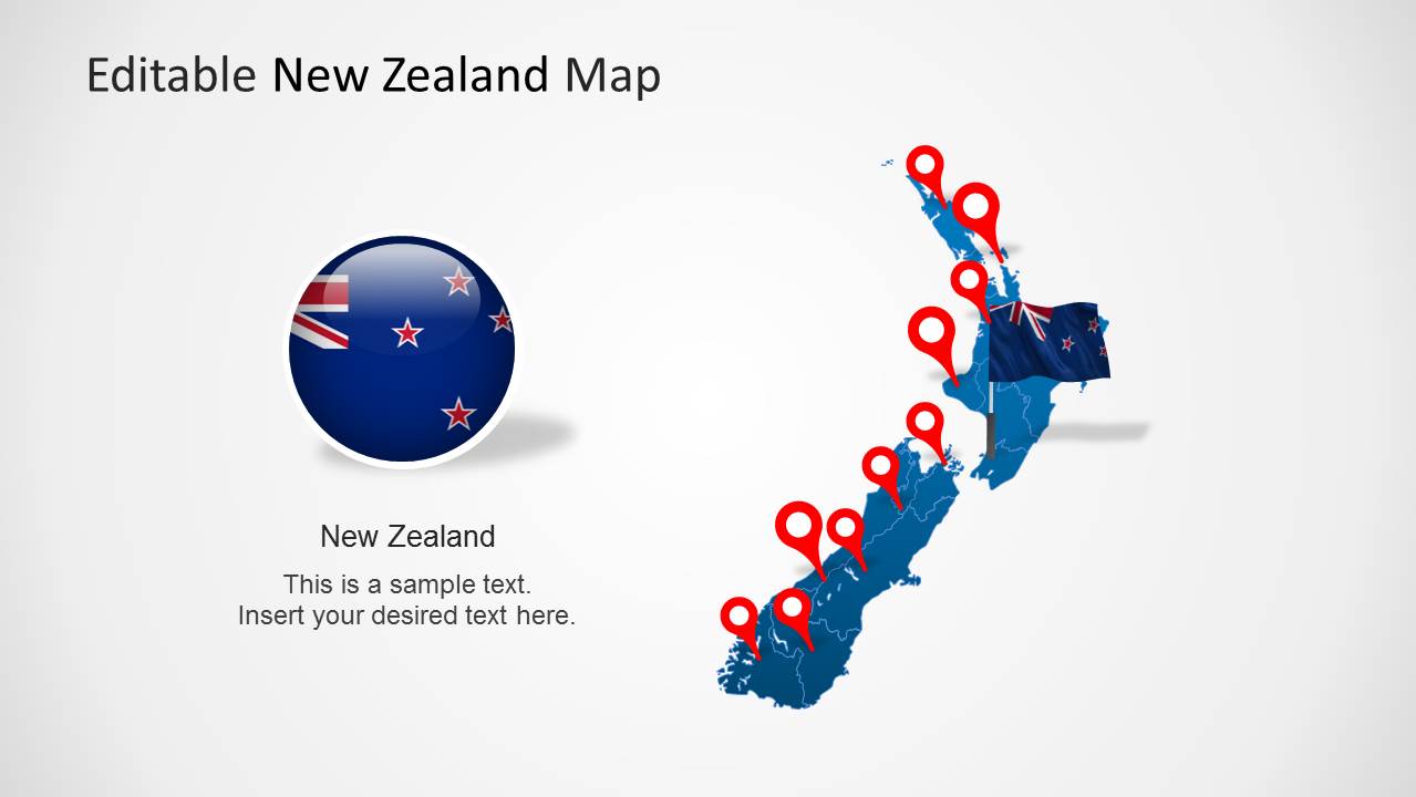
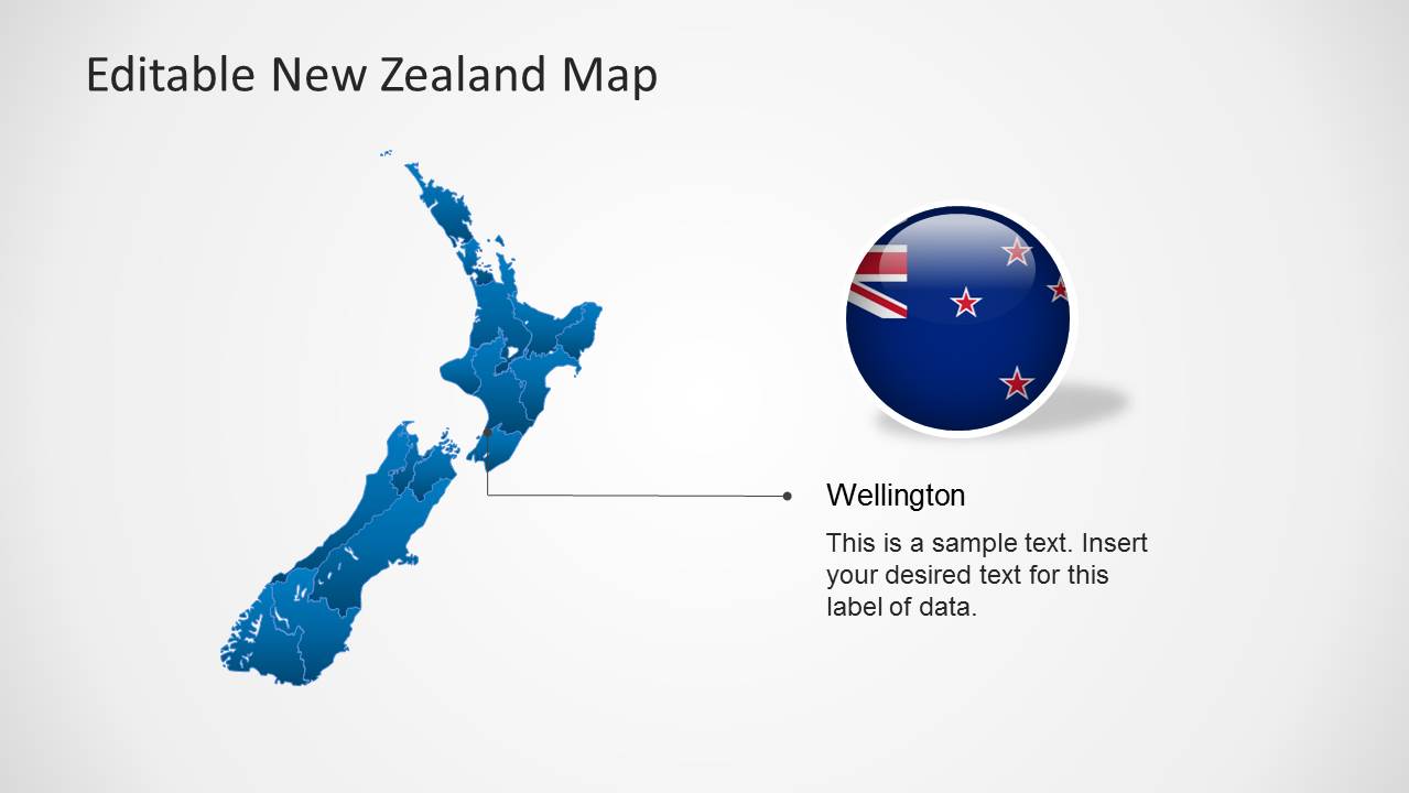
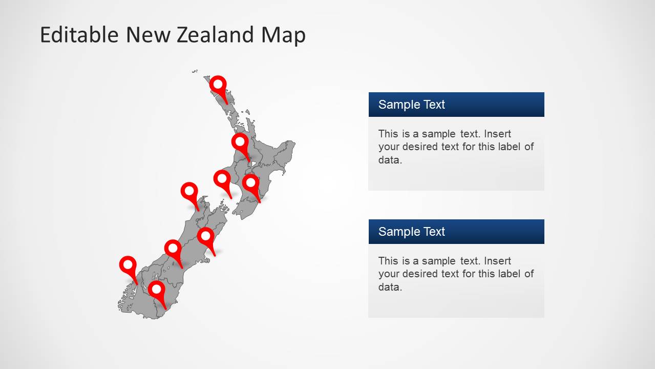
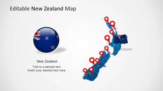
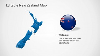
The New Zealand map template comes with editable objects created as PowerPoint shapes as well as flag & badges that you can use to decorate your presentations with a Flag of New Zealand in PowerPoint. There are GPS marker icons available or map pointers that you can use to highlight any desired location in the map.
Alternatively you can also see our complete collection of editable maps for Microsoft PowerPoint presentations.
What’s inside this template
Example presentation scenarios
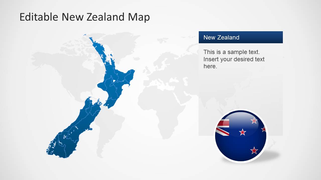
- A business development manager can present a New Zealand market entry overview by using the world map context slide to establish location and the pinned country map to mark target cities or regions.
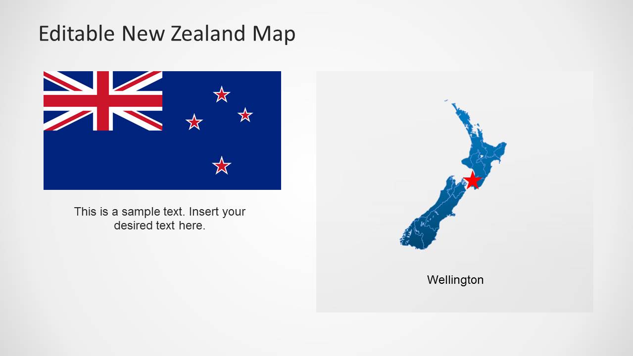
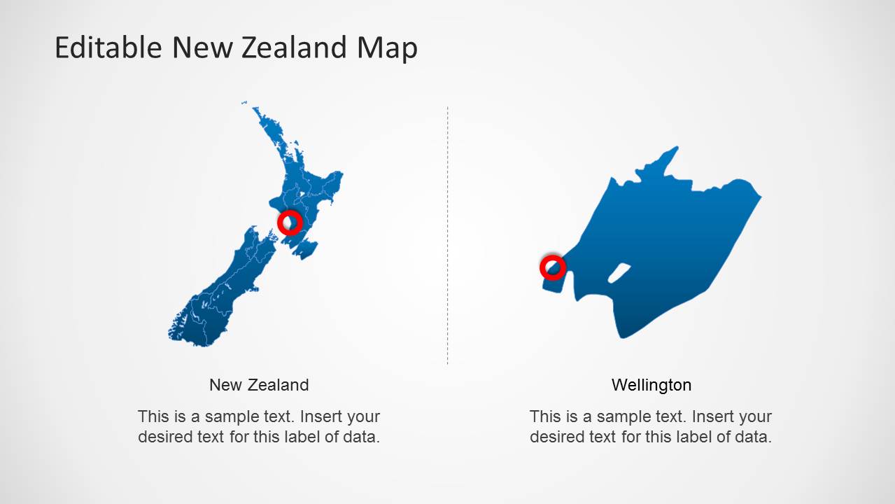
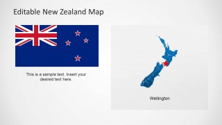
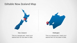
- A tourism planner can explain destination clusters by placing route or attraction points on the full map and then using the Wellington zoom slide to focus discussion on the capital area.
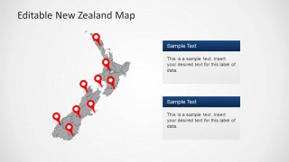
- A government or nonprofit analyst can brief stakeholders on regional programs by using the gray map with red pins and two callout cards to connect locations with short status notes.
- A logistics presenter can show branch coverage, service areas, or delivery hubs by combining the full New Zealand map, location pins, and two-panel comparison layout for national and city-level views.
Features
- 100% editable presentation template
- Compatible with Microsoft PowerPoint and Google Slides
- 16:9 aspect ratio slides
- Scalable vector shapes, icons and illustrations
- AI-Ready for Microsoft Copilot and Claude
- Instant access and download
Frequently asked questions
Q: How should a presenter organize a clear New Zealand regional briefing with this template?
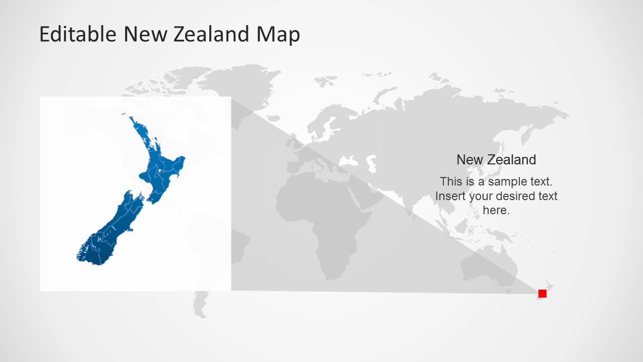
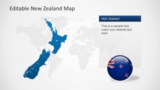
A: Start with the world map context slide so the audience understands geography, then move to the full New Zealand map with pins for the main locations. Use the Wellington callout or zoom slide only when the discussion needs a city-level detail. Keep each map slide tied to one question: where, why there, and what happens next.
Q: Who is this template best suited for, and what message does it help communicate?
A: It fits presenters who need to explain New Zealand locations, service coverage, market activity, tourism destinations, or regional operations. Consultants, planners, public sector teams, and business development groups can use the pins, country map, flag badge, and callout cards to turn geographic points into a concise briefing.
Q: Why do the location pins, flag badge, and zoomed map views improve the audience's understanding?
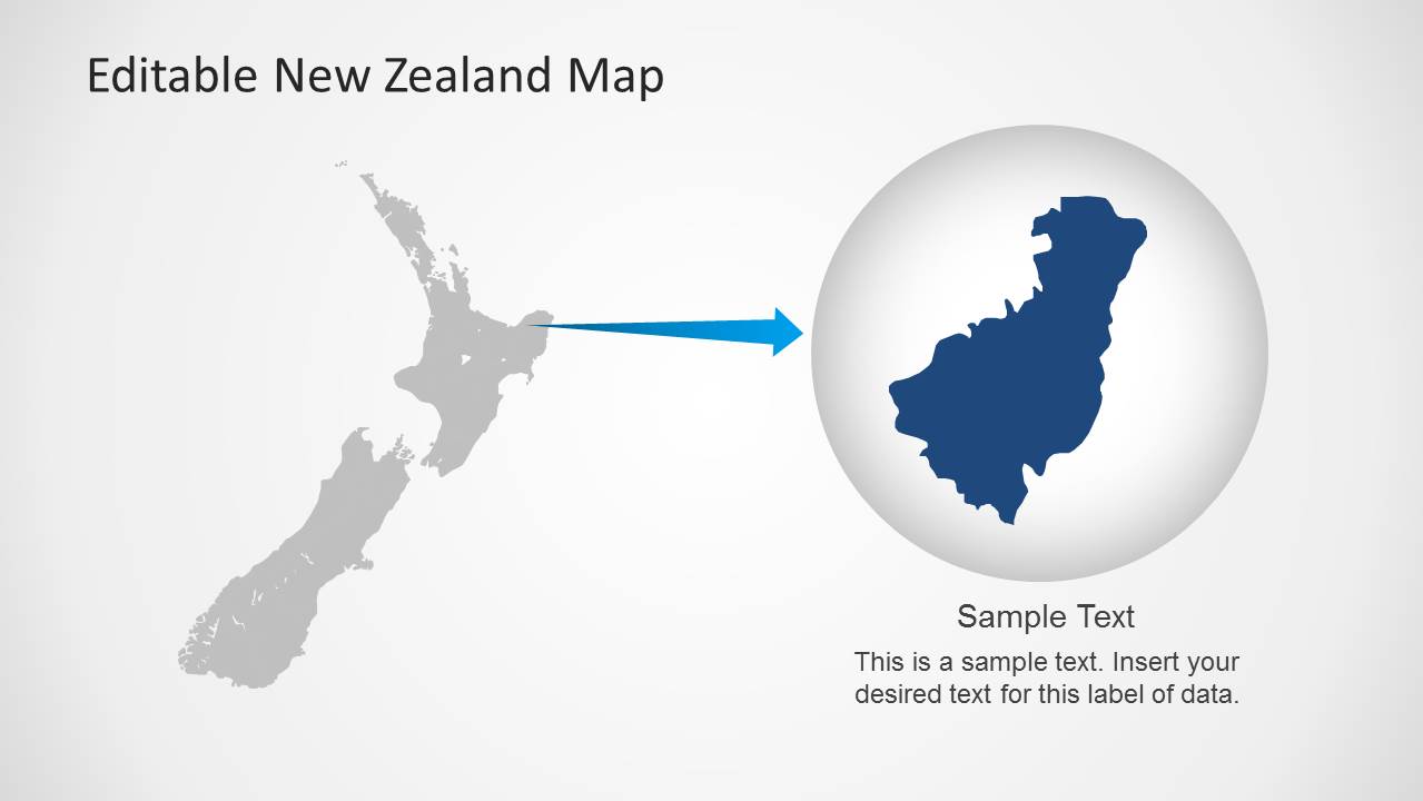
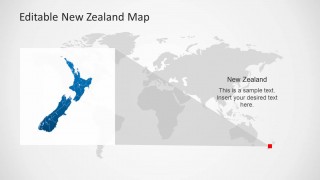
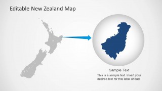
A: The pins act as a simple visual metaphor for decisions or points of interest, while the flag badge quickly signals national identity. The zoomed Wellington and circular magnifier layouts reduce scale confusion by moving from country view to local detail, which helps the audience follow a geographic story without reading dense text.
Editable New Zealand Map PowerPoint Template
8-slide presentation template with editable New Zealand maps, flag badges, and location pins
The Editable New Zealand Map PowerPoint Template is an 8-slide map presentation for Microsoft PowerPoint and Google Slides. It includes a full New Zealand map with location pins, a world map context layout, a flag badge slide, Wellington callouts, gray regional maps, and a zoomed area highlight for geographic briefings.
- Category
- Maps
- Rating

 Loading...
- Aspect ratio
- 16:9
- Item ID
- 6674-01
- Colors
 Microsoft PowerPoint
  Microsoft Copilot
  Claude for PowerPoint
 Other formats supported
Subscribe today and get immediate
access to download our PowerPoint templates.