Editable Comoros PowerPoint Map
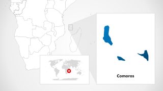
The Editable Comoros PowerPoint Map consists of seven map layouts of Comoros Island. Comoros is the union of three volcanic islands of the Indian Ocean located off the North-Western coast of Madagascar. The three islands conforming to the Coromian archipelago are Grande Comore, Anjouan, and Moheli. The Comoros country is known for its scenic attractions and fragrant plants.
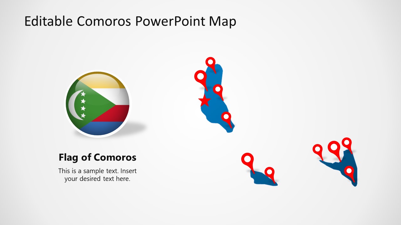
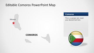
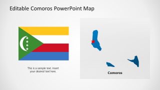
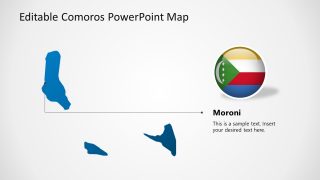
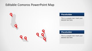
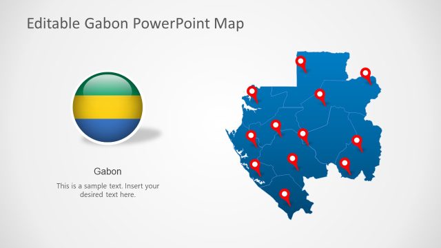
The different editable map layouts available in this template contain star-shaped markers, location pins, arrows, and text areas for mentioning the details. As Comoros is a union of three islands, the map for each Island is shown separately on each slide. The first slide shows the blue-colored maps with location markers and the map of Comoros in a circular shape. In contrast, the second slide differs from the first one in having grey color maps, a highlighting red-spot on Moroni, the capital city. Presenters can visually explain the history of the Comoros flag and Islands using the third slide, in which a bigger image of the Comoros flag is shown. The fourth slide can help present the specific location of Comoros on the World-Map, and it focuses on the country map of Comoros using a red circular spot over the grey World-map.
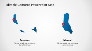
Afterward, there are two sides to discuss various features of the capital city Moroni. Lastly, users can edit the slide containing grey maps of the Island with a red-location marker. They can mention the key points using the editable text areas on these maps. All the map layouts are 100% editable. Presenters can elaborate on various topics relevant to Comoros using this Editable Comoros PowerPoint Map. The location pins, stars, and circular highlighters can be moved according to the discussed point. Further, a thematic map can be constructed using these layouts. Users can customize this template using PowerPoint, Google Slides, and Keynote.
