Slide 4 of 7 from Editable Comoros PowerPoint Map
World-Map Slide for Highlighting Comoros Location
Editable Comoros PowerPoint Map Slide
- Map
- Country Map
- Context Slide
- 16:9
- 100% Editable
What’s on This Slide
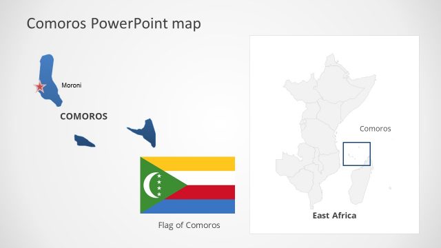
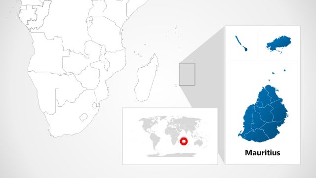
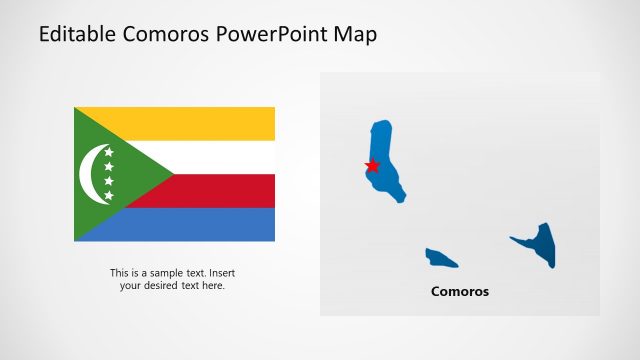
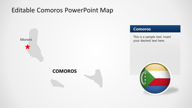
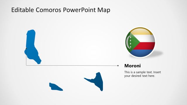
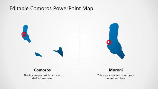
The layout features a detailed map of Comoros on the right, colored in blue against a white background. To the left, a smaller world map highlights the location of Comoros with a red dot. The visual hierarchy emphasizes the Comoros map, which is larger and more prominent. Text placeholders exist below the map, aligned centrally, indicating potential titles or descriptions. The overall composition is clean, with clear boundaries separating the two map elements, creating a focused visual narrative about Comoros.
How to Use It
This layout serves as a geographical highlight of Comoros, suitable for presentations discussing regional topics, tourism, or economic discussions. It fits well after introductory slides, providing context or a visual reference. Ideal for business scenarios like market entry strategies or cultural presentations, it visually situates Comoros within a broader geographic context. This slide can be used to emphasize the significance of Comoros in relation to neighboring regions or global discussions.
Text Placeholders & Capacity
Keep your copy within these limits so it fits without resizing. Title slot is spacious, allowing for a clear title of up to 30 characters.
| Placeholder | Count | Max characters (approx.) |
|---|---|---|
| Slide title | 1 | 30 |
| Item heading | 1 | 15 |
Slide Keywords
Download unlimited PowerPoint templates, charts and graphics for your presentations with our annual plan.
DOWNLOADReturn to Editable Comoros PowerPoint Map.