Slide 6 of 7 from Editable Comoros PowerPoint Map
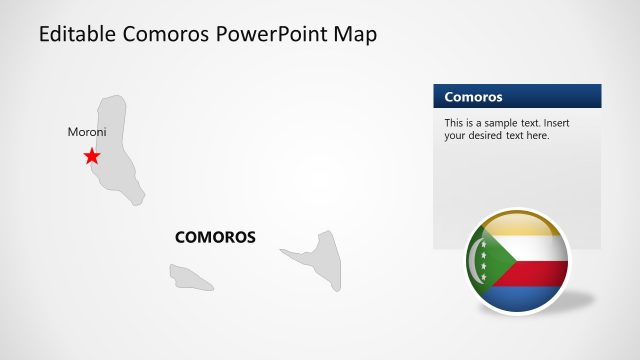
Comoros Island Grey Maps with Text Boxes
Editable Comoros PowerPoint Map
- Map
- Country Map
- Context Slide
- 16:9
- 100% Editable
What’s on This Slide
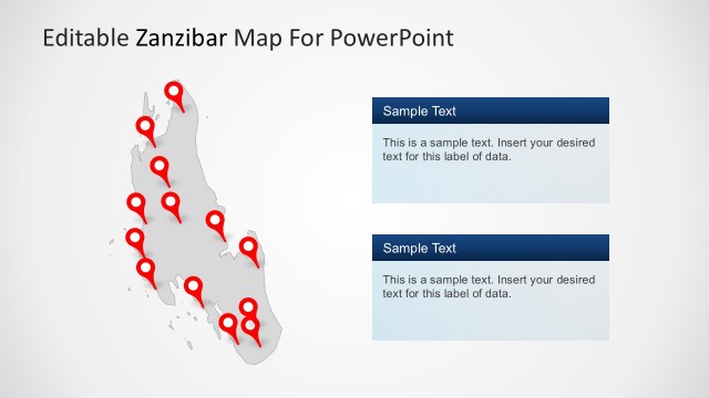
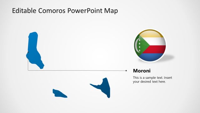
The slide features a map of Comoros positioned centrally, with several red location markers indicating specific areas. The map is light gray, providing contrast against the white background. To the right, there are two text placeholders stacked vertically, each with a dark blue header. The placeholders are aligned to the right and contain sample text, suggesting areas for user input. The overall layout emphasizes the map while allowing space for additional information, creating a clear visual hierarchy between the map and text areas.
How to Use It
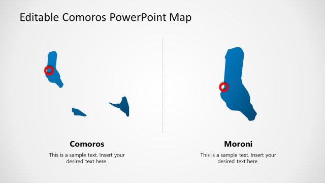
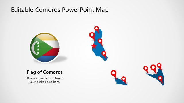
This layout serves as a geographic representation of Comoros, suitable for highlighting specific locations or points of interest. It fits within a presentation sequence that includes other map slides, providing context or detailed information about the regions marked. This structure is useful for business presentations, tourism discussions, or educational contexts where geographic details are essential. It allows for customization of the text areas to provide relevant information about each marked location.
Text Placeholders & Capacity
Keep your copy within these limits so it fits without resizing. Text slots can hold about 15-20 words each.
| Placeholder | Count | Max characters (approx.) |
|---|---|---|
| Item body | 2 | 100 |
Slide Keywords
Download unlimited PowerPoint templates, charts and graphics for your presentations with our annual plan.
DOWNLOADReturn to Editable Comoros PowerPoint Map.