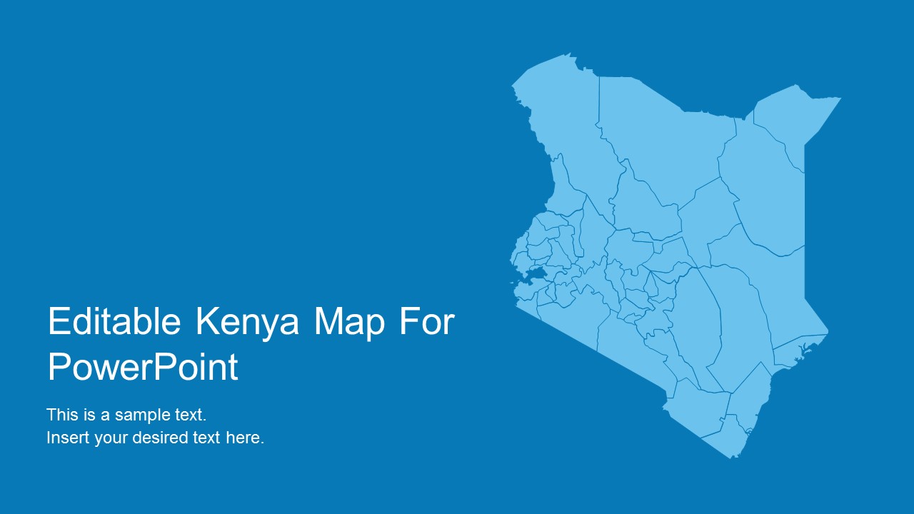
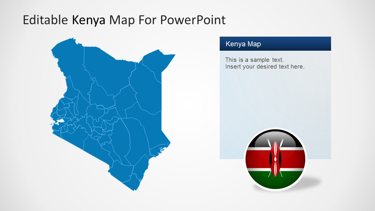
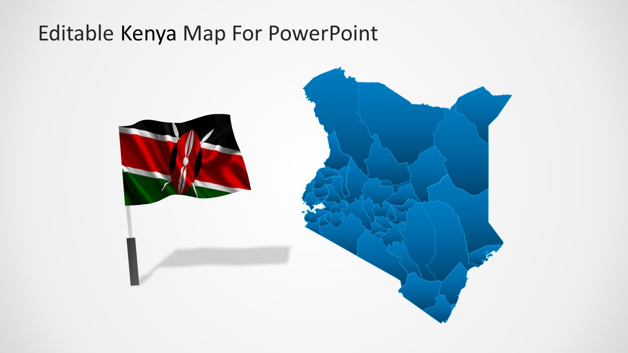
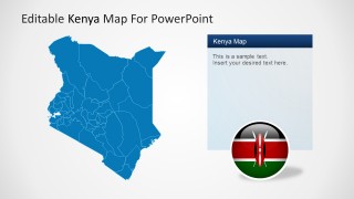
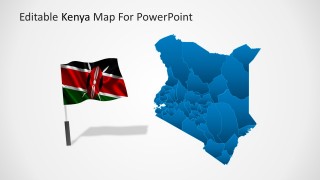
Editable Kenya PowerPoint Map – Create professional presentations with the use of our PowerPoint Maps. The Editable Kenya PowerPoint Map is a political outline created as a composite of individual states and regions. The user can work with the full map or with each individual state. All the elements are created as PowerPoint Shapes, allowing the user to fully customize their appearance and labels.
This Kenya Map is an updated version from the old Republic of Kenya geographic. This is designed based on the regions and its counties with Kenya borders on to Tanzania, Somalia, Uganda, South Sudan and Ethiopia.
This PowerPoint Map is ideal for presenting geographic topics related to Kenya, for describing markets in each region, or even to plan a business or leisure trip. As we know, the country’s tourism pays a large part of Kenya and the beaches as seen in Mombasa and its other regions draw people from all over the world.
The Editable Kenya PowerPoint Map is simple to use and adapts easily to the theme option chosen by the user. This is designed in a professional and clean style with GPS and region highlights. Impress your audience with high-quality graphics using the Editable Kenya PowerPoint Map or any of our PowerPoint Templates.
What’s inside this template
Example presentation scenarios
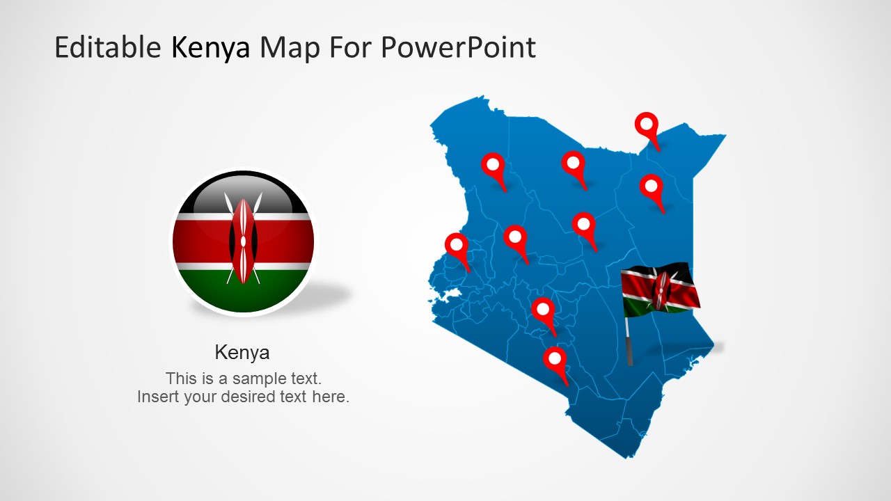
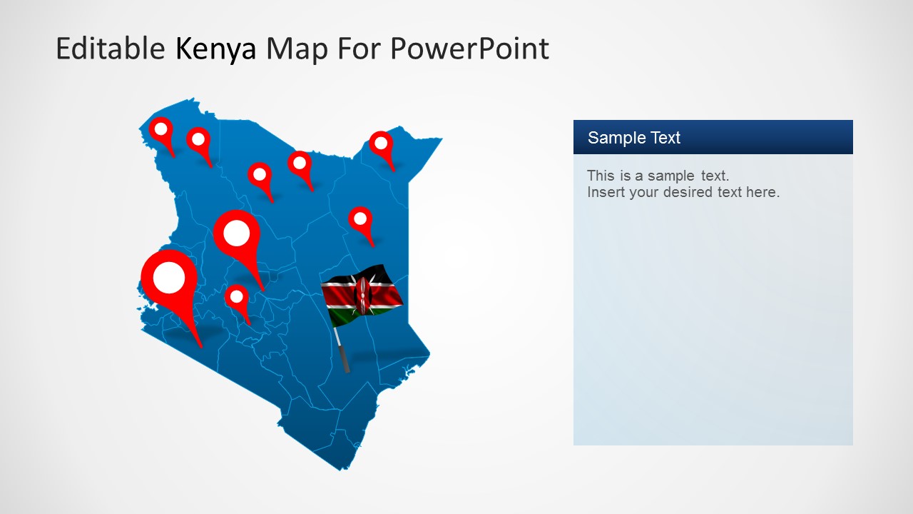
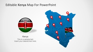
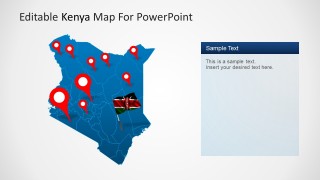
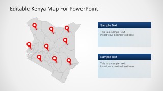
- A regional sales manager can present Kenya market coverage by placing location pins on the map and explaining territory priorities in the side text panels.
- A tourism presenter can introduce Kenya destinations with the flag layouts, full-country map, and pinned route or attraction markers.
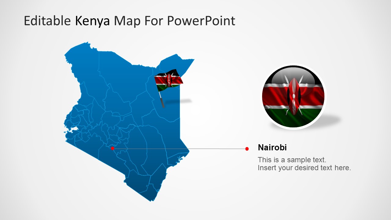
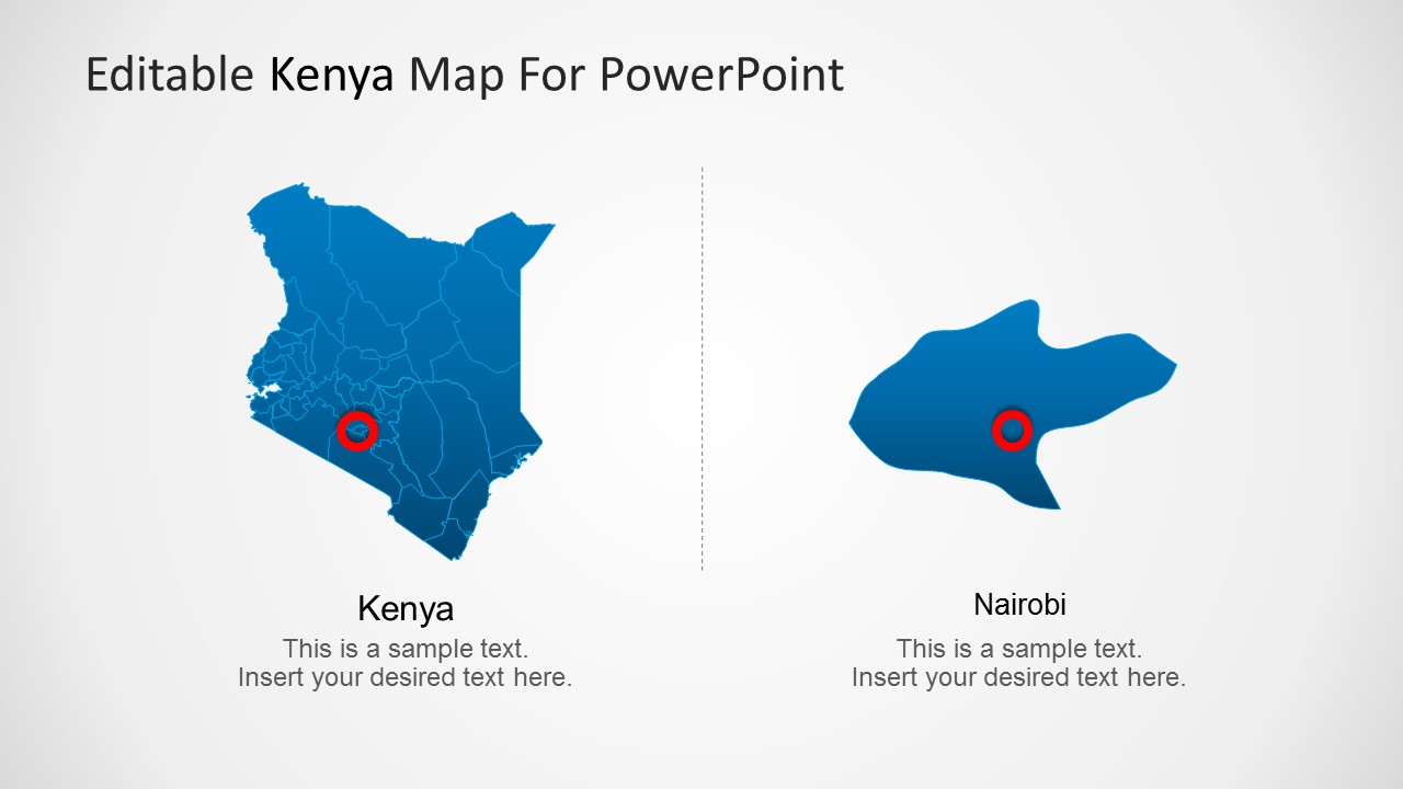
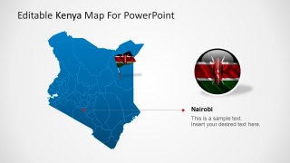
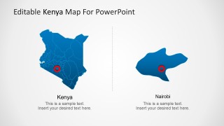
- An educator can explain Kenya geography by using the political map with county boundaries and the Kenya-to-Nairobi comparison slide.
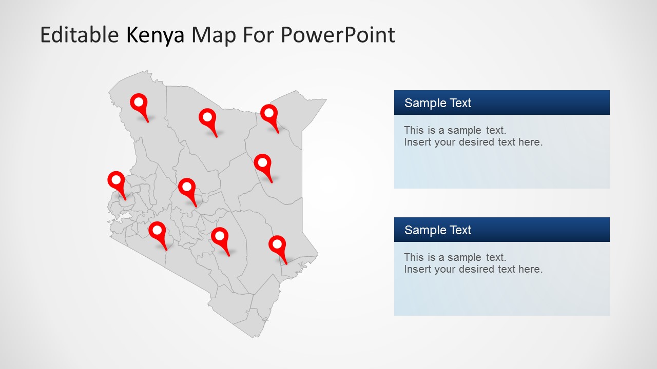
- An NGO or public-sector presenter can show program locations using the gray map with red pins and the stacked notes layout for regional context.
Features
- 100% editable presentation template
- Compatible with Microsoft PowerPoint and Google Slides
- 16:9 aspect ratio slides
- Scalable vector shapes, icons and illustrations
- AI-Ready for Microsoft Copilot and Claude
- Instant access and download
Frequently asked questions
Q: How should a presenter organize a Kenya geography message with this template?
A: Start with the full Kenya map to orient the audience, then move to pinned locations for specific activity areas. Use the Nairobi callout only when the capital or a local site needs extra explanation. Keep each map slide focused on one geographic idea so the pins and text panels do not compete for attention.
Q: Who is this Kenya map template best suited for?
A: This template fits presenters who need to explain where work, travel, operations, or audiences are located in Kenya. Regional managers, educators, tourism teams, consultants, and NGOs can use the political map, county boundaries, and location pins to connect a plan or report to actual places on the map.
Q: Why do the map pins, callouts, and zoom slide help communication?
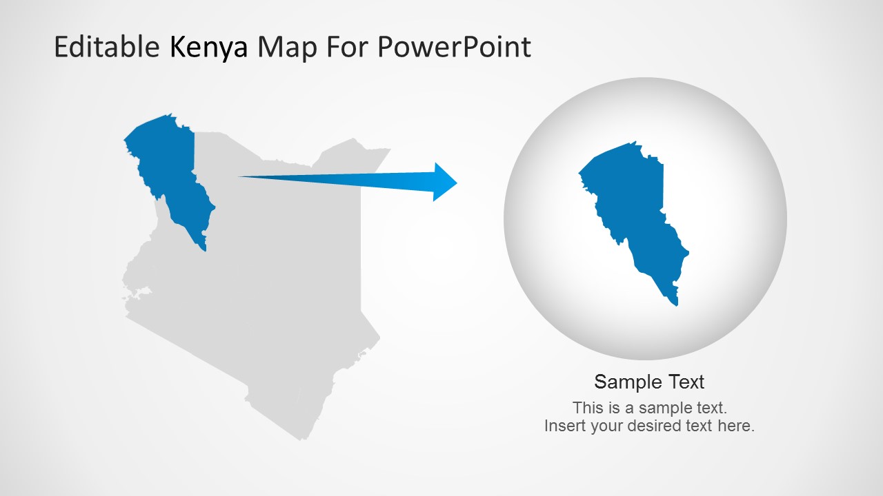
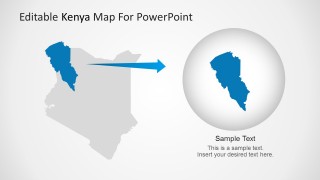
A: The design uses familiar map metaphors: pins signal locations, leader lines point to specific places, and the zoom layout shifts attention from country scale to a selected area. These visual cues reduce explanation time because the audience can immediately distinguish overview, detail, and priority locations.
Editable Kenya PowerPoint Map
9-slide presentation template for Kenya maps, county regions, location pins, and Nairobi callouts
Editable Kenya PowerPoint Map is a 9-slide map presentation template for showing Kenya geography, regional segmentation, pinned locations, and Nairobi detail. It includes political map layouts, location marker slides, text callout panels, and a zoomed map-to-region view for business, education, travel, or public-sector presentations in Microsoft PowerPoint and Google Slides.
- Category
- Maps
- Rating


 Loading...
- Aspect ratio
- 16:9, 4:3
- Item ID
- 7230-01
 Microsoft PowerPoint
  Microsoft Copilot
  Claude for PowerPoint
 Other formats supported
Subscribe today and get immediate
access to download our PowerPoint templates.