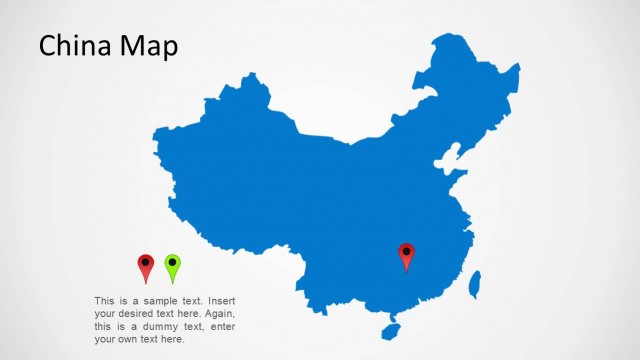
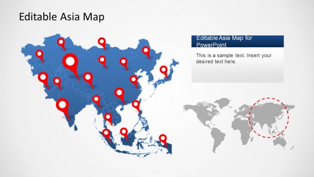
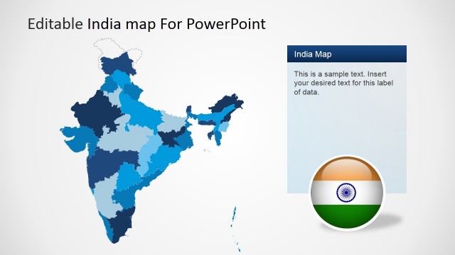
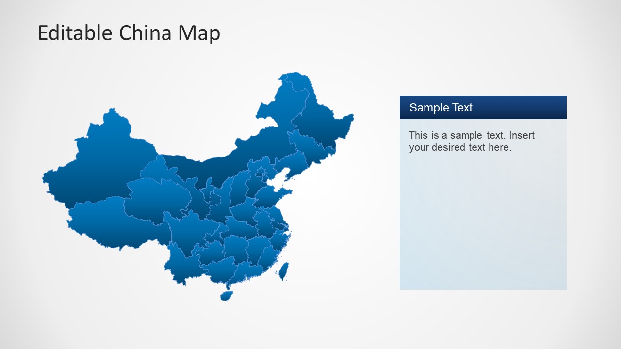
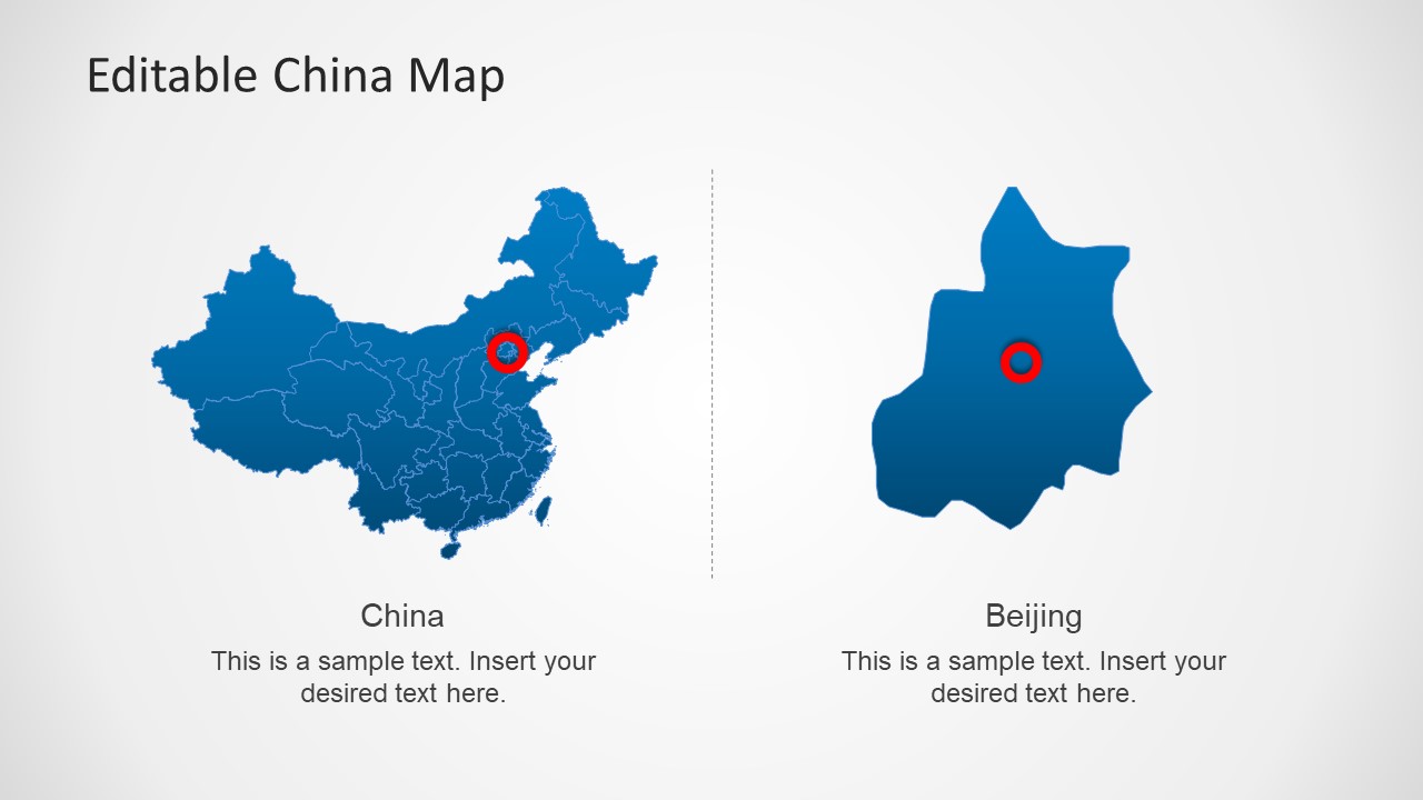
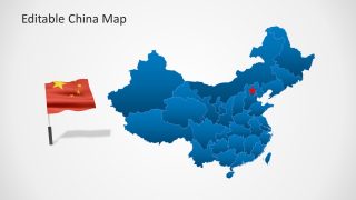
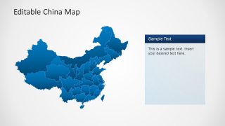
Download the Editable China Map Template for PowerPoint with a complete map of China and all its provinces. Each major administrative division of China can be extracted from the main map and you can even change the color and size of map elements within this template.
The template provides extractable, sub-maps for Xinjiang, Tibet, Sichuan, Zhejiang, Yunnan, Shanxi, Shandong, Shaanxi, Qinghai, Liaoning, Jilin, Jiangxi, Hunan, Jiangsu, Hubei, Henan, Heilongjiang, Hebei, Hainan, Guizhou, Guangdong, Gansu, Fuijan, Anhui and other areas.
What’s inside this template
Example presentation scenarios
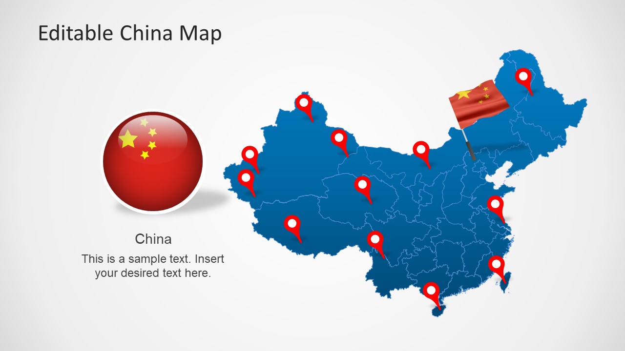
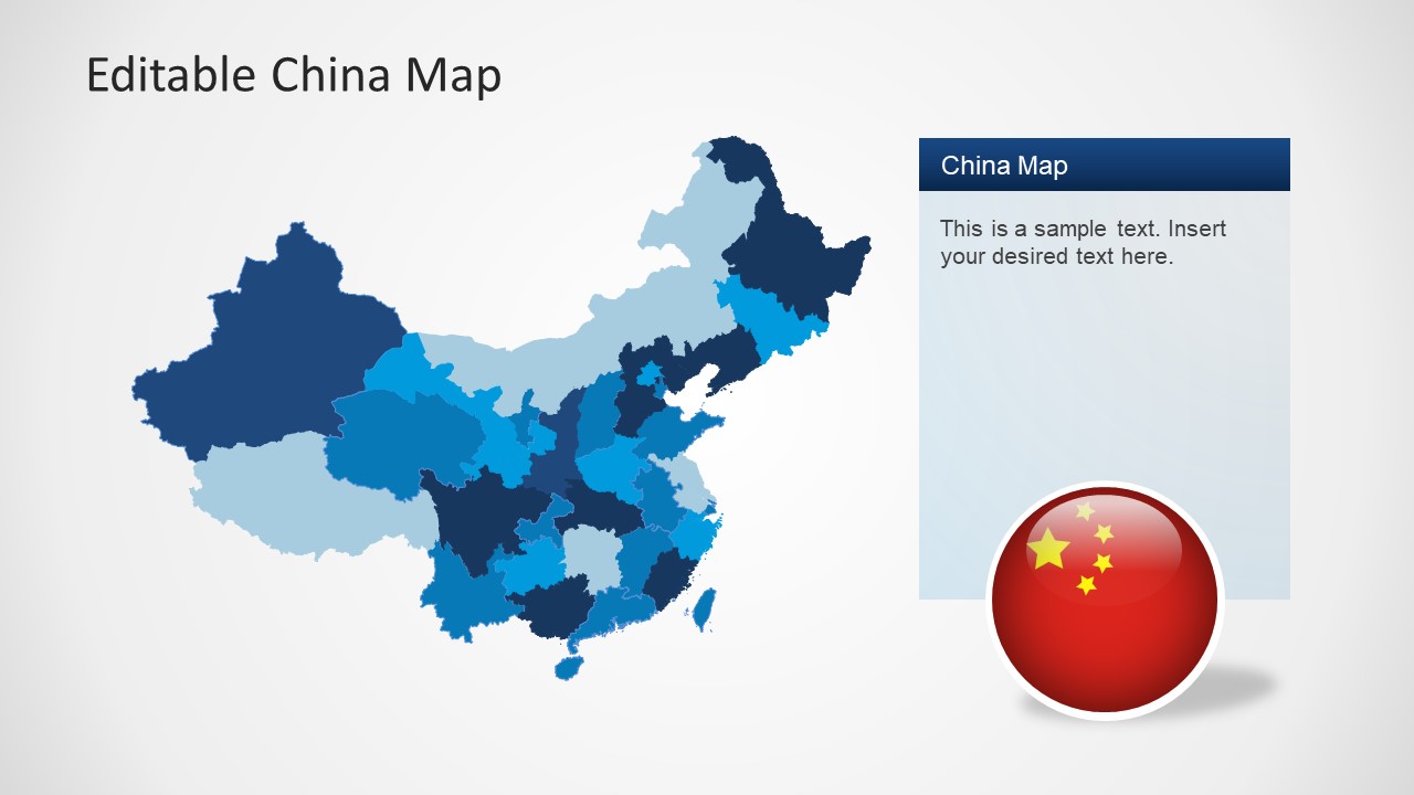
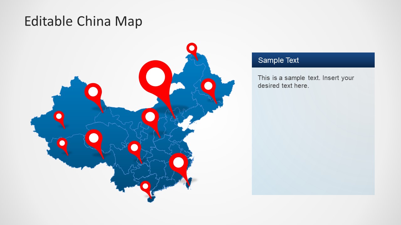
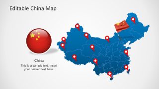
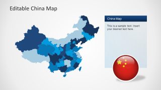
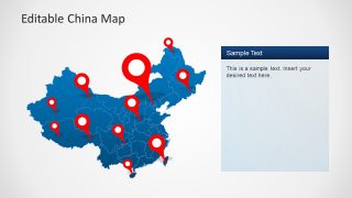
- A market research analyst can present regional demand or customer concentration by placing key findings on the shaded province map and using the full China map with pins to identify priority locations.
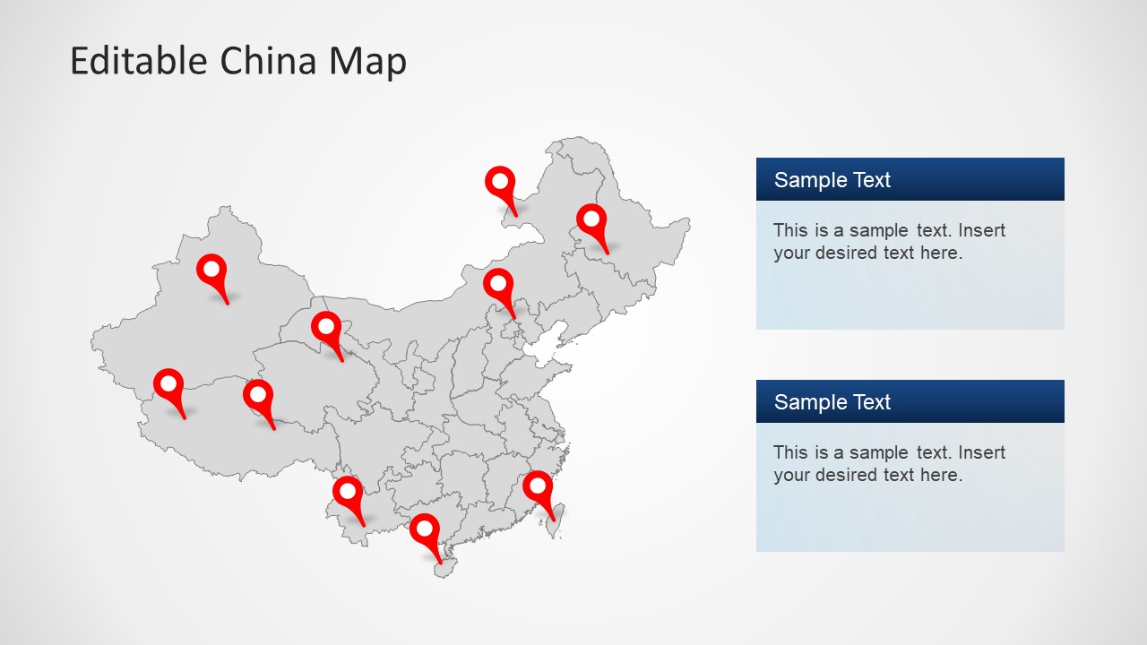
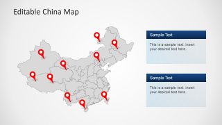
- A sales leader can explain territory coverage to executives by using the pin-marker map for office or distributor locations and the right-side text panel for targets or responsibilities.
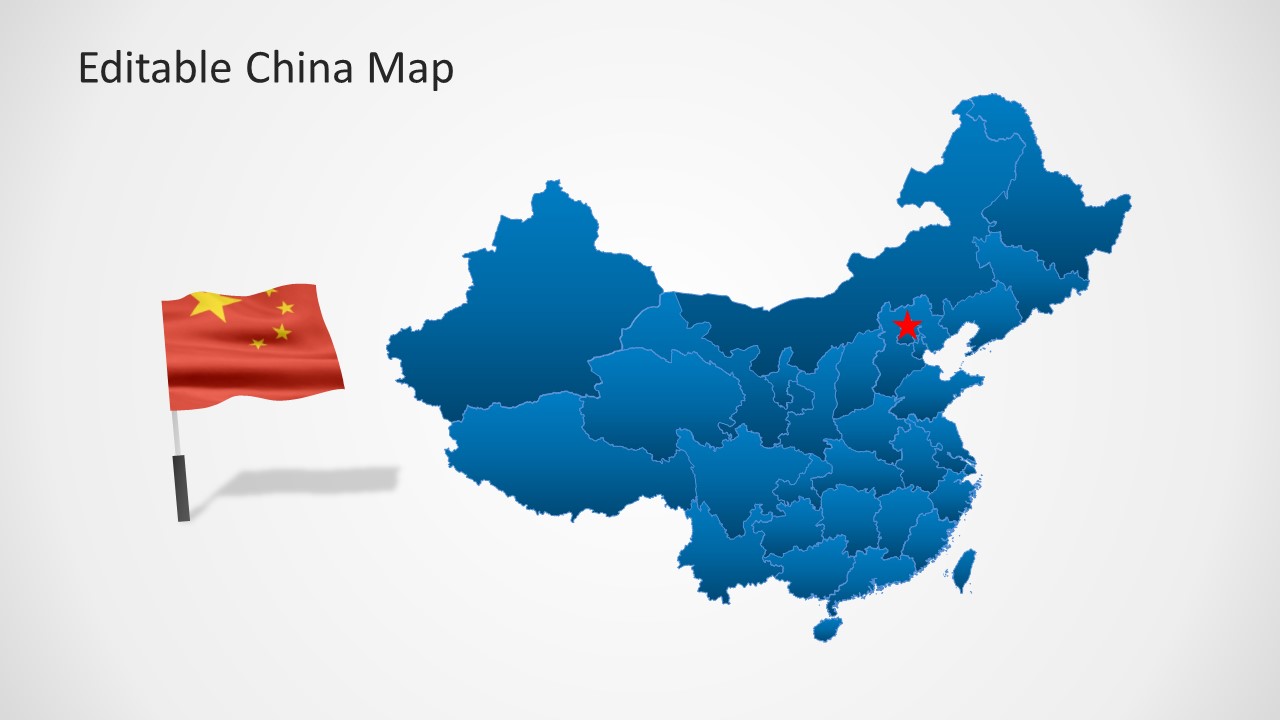
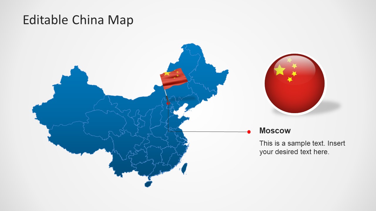
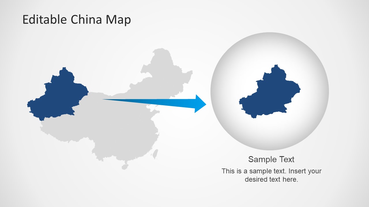
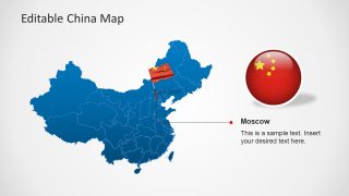
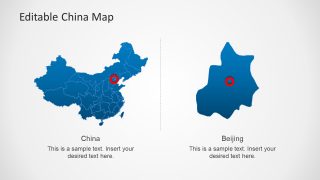
- A consultant can brief a client on China expansion options by opening with the national map, then using the Beijing spotlight or zoom-style regional detail to focus discussion on a selected province or city.
- An educator or policy presenter can introduce China geography by using the province outline maps, flag graphics, and callout panels to connect location names with explanatory notes.
Features
- 100% editable presentation template
- Compatible with Microsoft PowerPoint and Google Slides
- 16:9 aspect ratio slides
- Scalable vector shapes, icons and illustrations
- AI-Ready for Microsoft Copilot and Claude
- Instant access and download
Frequently asked questions
Q: How should a presenter structure a China regional briefing with this template?
A: Start with a full China map to establish national context, then move to the shaded province map or pin-marker map to show regional differences. Use the text panels for only the main takeaway, not long descriptions. End with the Beijing or zoom-style focus slide when the audience needs one location explained in more detail.
Q: Who is this map template best suited for?
A: This template fits presenters who need to explain where something happens in China: market analysts, sales leaders, logistics teams, consultants, educators, and public-sector briefers. The strongest use cases are territory planning, location reporting, expansion discussion, and province-level explanation where a map is clearer than a table.
Q: Why do the pins, flags, and zoom map layouts help the audience understand the message?
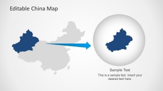
A: The map pins create immediate attention points, while the flag graphics establish national context without extra explanation. The zoom-style slide works as a visual metaphor for narrowing scope: the audience first sees the whole country, then follows the arrow into a selected region for focused discussion.
Editable China Map Template for PowerPoint
9-slide China map presentation template with province maps, location pins, flags, and regional callouts
Editable China Map Template for PowerPoint is a 9-slide map presentation template for showing China by province, location, or focus area. Visible layouts include a full China map with pins, a shaded province map, flag callouts, Beijing spotlight, and zoom-style regional detail for business, education, and reporting use in PowerPoint and Google Slides.
- Category
- Maps
- Rating


 Loading...
- Aspect ratio
- 16:9, 4:3
- Item ID
- 6278-01
- Colors
 Microsoft PowerPoint
  Microsoft Copilot
  Claude for PowerPoint
 Other formats supported
Subscribe today and get immediate
access to download our PowerPoint templates.