Download Editable Philippines Map Template for PowerPoint with sub-maps for all major regions of Philippines.
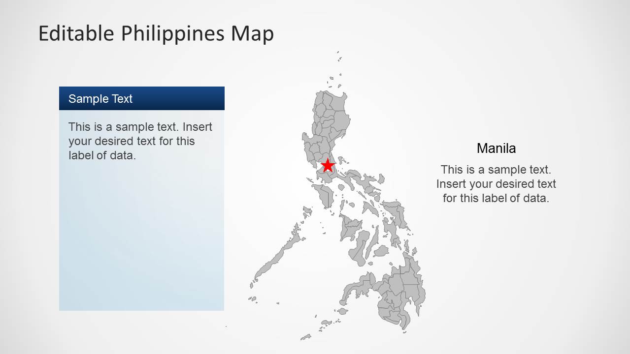
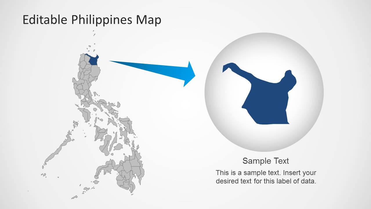
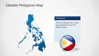
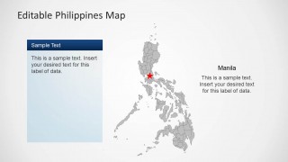
This editable template provides a complete map of Philippines, as well as maps for important regions of the country that can be copied, dragged or highlighted from the main map.
This template is among our vast collection of Asia Map Templates for PowerPoint, and like other map templates it has precise regions and provinces available in standalone format.
You can single out areas from the IIocos Region, Cagayan Valley, Central Luzon, MIMAROPA (Southern Tagalog Islands), Bicol Region, Western Visayas, Central Visayas, Eastern Visayas, Zamboanga Peninsula, Northern Mindanao, Davao Region, SOCCSKSARGEN (Cotabato Region), Caraga, Autonomous Region in Muslim Mindanao, Cordillera Administrative Region and National Capital Region.
What’s inside this template
Example presentation scenarios
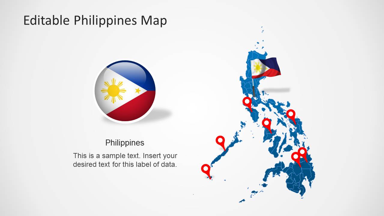
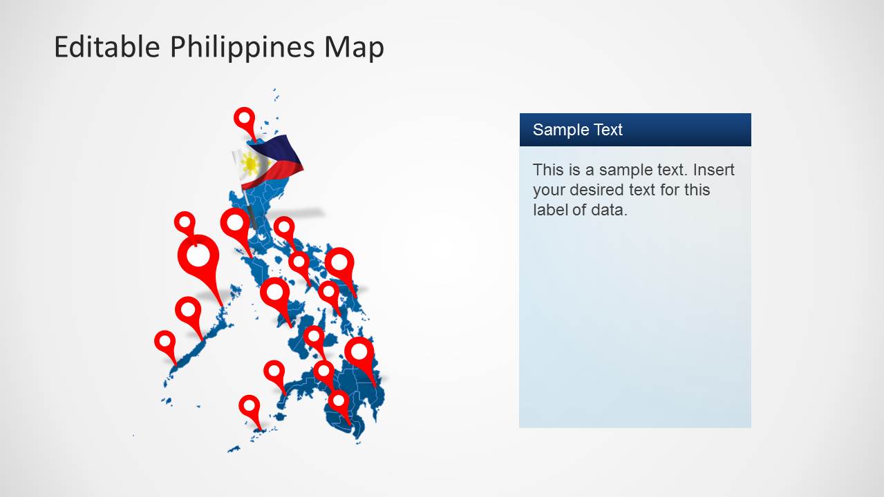
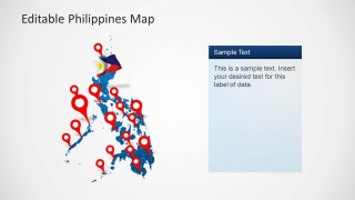
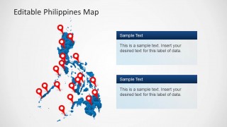
- A sales manager can present territory coverage across the Philippines using the full-country map with red location pins and the two text cards for regional notes.
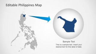
- A market analyst can explain where demand is concentrated by highlighting a region on the province map and adding context in the editable side panel.
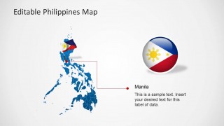
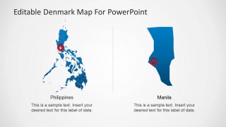
- A logistics planner can show Manila as a hub by using the connector callout slide with the city label, pointer line, and supporting text.
- A tourism or education presenter can introduce the Philippines with the flag badge slide and then move into specific destination markers on the map.
Features
- 100% editable presentation template
- Compatible with Microsoft PowerPoint and Google Slides
- 16:9 aspect ratio slides
- Scalable vector shapes, icons and illustrations
- AI-Ready for Microsoft Copilot and Claude
- Instant access and download
Frequently asked questions
Q: How should a presenter organize a location-based message with this Philippines map template?
A: Start with the full-country map to orient the audience, then narrow attention to priority locations using the pin layouts or Manila callout. Keep each slide focused on one geographic claim, such as coverage, expansion, or risk area. Use the side text panels for interpretation, not long explanations, so the map remains the main evidence.
Q: Who is this template best suited for in a business or institutional presentation?
A: It fits presenters who need to explain where activities happen in the Philippines, such as sales managers, logistics teams, market researchers, public agencies, NGOs, educators, or tourism planners. The map pins, regional highlight slide, and Manila zoom make it useful when location is central to the decision or explanation.
Q: Why do the pins, flag badge, and zoomed region layouts help the audience understand the map?
A: The map gives spatial context, while the red pins and star markers create immediate points of attention. The flag badge establishes national identity quickly, and the magnified region slide acts like a visual zoom lens. This sequencing helps audiences connect a national overview to a specific province, city, or operational area.



Editable Philippines Map Template for PowerPoint
8-slide presentation template with editable Philippines maps, location pins, regional callouts, and flag graphics
Editable Philippines Map Template for PowerPoint is an 8-slide map presentation template for geographic reports, market plans, and operations briefings. It includes full-country maps, province-highlight views, Manila callouts, location pin maps, and flag badge graphics. The template is built for Microsoft PowerPoint and Google Slides in 16:9 and 4:3 formats.
- Category
- Maps
- Rating


 Loading...
- Aspect ratio
- 16:9, 4:3
- Item ID
- 6456-01
- Colors
 Microsoft PowerPoint
  Microsoft Copilot
  Claude for PowerPoint
 Other formats supported
Subscribe today and get immediate
access to download our PowerPoint templates.