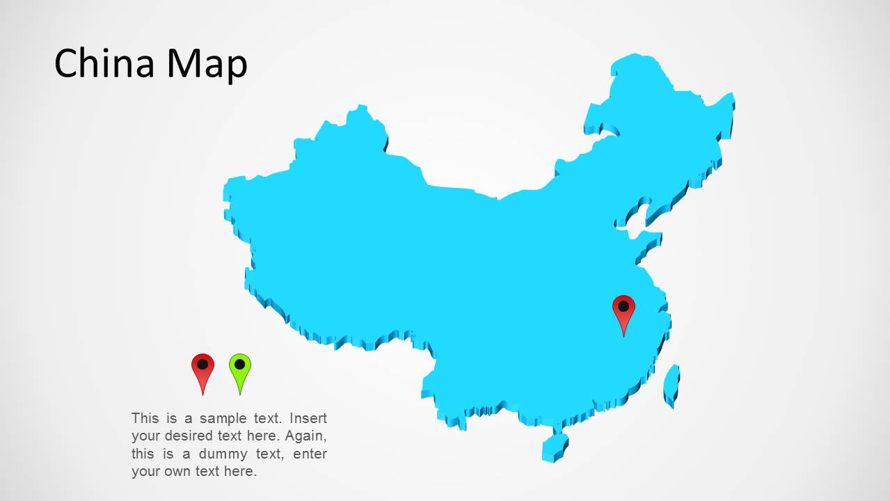
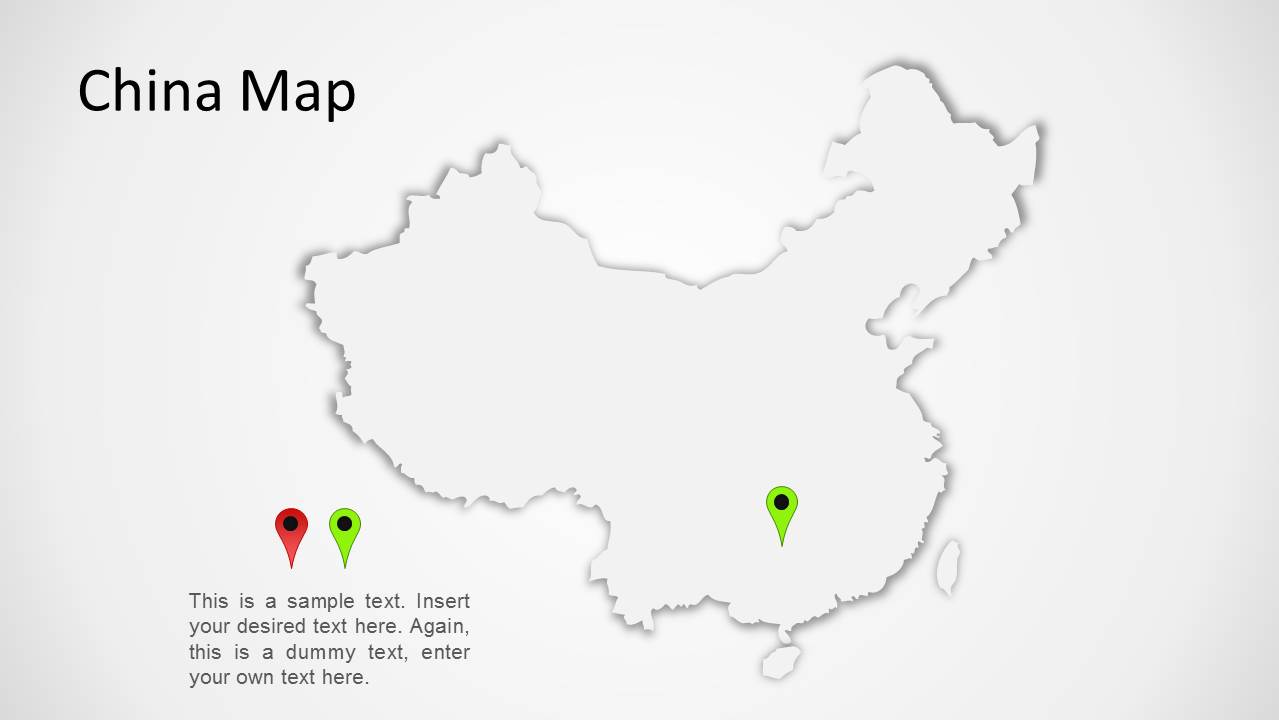
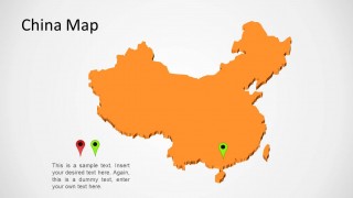
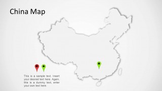
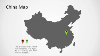
China Map for PowerPoint– an overall look of a map on the country of China. The PowerPoint shape features shadow, flat and 3D-like styles of the map. The creative and colorful touch can surely appeal to global audiences. Deliver professional presentations related to China with the China Map for PowerPoint.
People’s Republic of China is a state in the Asian region known to have the largest population in the world. It is the world’s second largest country. The government is under a communist party after centuries of a monarchical ruling. It hosted some of the globe’s earliest civilizations. The Great Wall of China found underlying the eastern to western borders of the country is one of its greatest historical and tourism sites. It is a UNESCO World Heritage site. Its scope extends on bordering some countries like Myanmar, Vietnam, Laos, Cambodia, India, Nepal, Pakistan, among others.
China Map for PowerPoint is ideal for geographical presentations where the user can showcase the overall land mass and shape of the country. It is perfect for tourism reports and in historical accounts. In topics such as culture and travel, the shapes can surely aid the audience in understanding and visualizing. More subject matters like world art and global landmarks, the presenter can be able to find these slide designs useful.
All 5 slides include a China Map title on the top-left side of the layout. The first slide displays a flat blue outline of China’s map. The second and third slides illustrate a 3D perspective outline. The plot on the 4th slide is a flat shape with shadowed edges. It creates an illusion that the map is elevated. The last slide is also a flat shape, however, in gray color.
Generate powerful presentations from China Map for PowerPoint. Editable China Map Template for PowerPoint gives a more detailed mapping, downloadable at SlideModel gallery.
What’s inside this template
Example presentation scenarios
- A market analyst can use the flat China silhouette map to introduce a China opportunity overview and mark a target city or region with the colored pin markers.
- A tourism presenter can use the raised shadow map to discuss destinations, routes, or points of interest while keeping explanatory text beside the map.
- An educator can use the blue or gray map slides to explain China's geographic position and add short notes about culture, history, or regional context.
- An operations manager can use the 3D-style map variants to show facility locations, supplier regions, or expansion areas during an internal planning meeting.
Features
- 100% editable presentation template
- Compatible with Microsoft PowerPoint and Google Slides
- Scalable vector shapes, icons and illustrations
- AI-Ready for Microsoft Copilot and Claude
- Instant access and download
Frequently asked questions
Q: How should a presenter structure a short China geography or market overview with this template?
A: Start with the clean flat silhouette to orient the audience, then move to a colored or 3D-style map to focus attention on the target location. Keep the lower-left text block brief: state the business, travel, or education point first, then use the pin marker as visual proof of where that point applies.
Q: Who is this China map template best suited for?
A: This template fits presenters who need a simple country-level China visual rather than a detailed statistical map. It works well for consultants, educators, tourism teams, and international business groups explaining location context, market presence, travel destinations, or regional relevance with a recognizable country silhouette and editable pins.
Q: Why do the flat, 3D-style, and raised map variants help communication?
A: The variants give different levels of visual emphasis without changing the message. A flat map is best for direct geographic reference, the 3D-style versions add depth for a stronger focal slide, and the raised white map creates contrast when the presenter wants the pin marker or text to carry the main point.



China Map for PowerPoint
5-slide China map presentation template with editable country silhouettes and location pin markers
China Map for PowerPoint is a 5-slide map presentation template for showing China in geographic, travel, education, or market context. The deck includes flat China silhouette maps, 3D-style perspective maps, raised shadow maps, and colored location pin markers. The artwork uses editable PowerPoint shapes and vector graphics.

 Loading...
 Microsoft PowerPoint
 Microsoft Copilot
 Claude for PowerPoint
Other formats supported
Subscribe today and get immediate
access to download our PowerPoint templates.