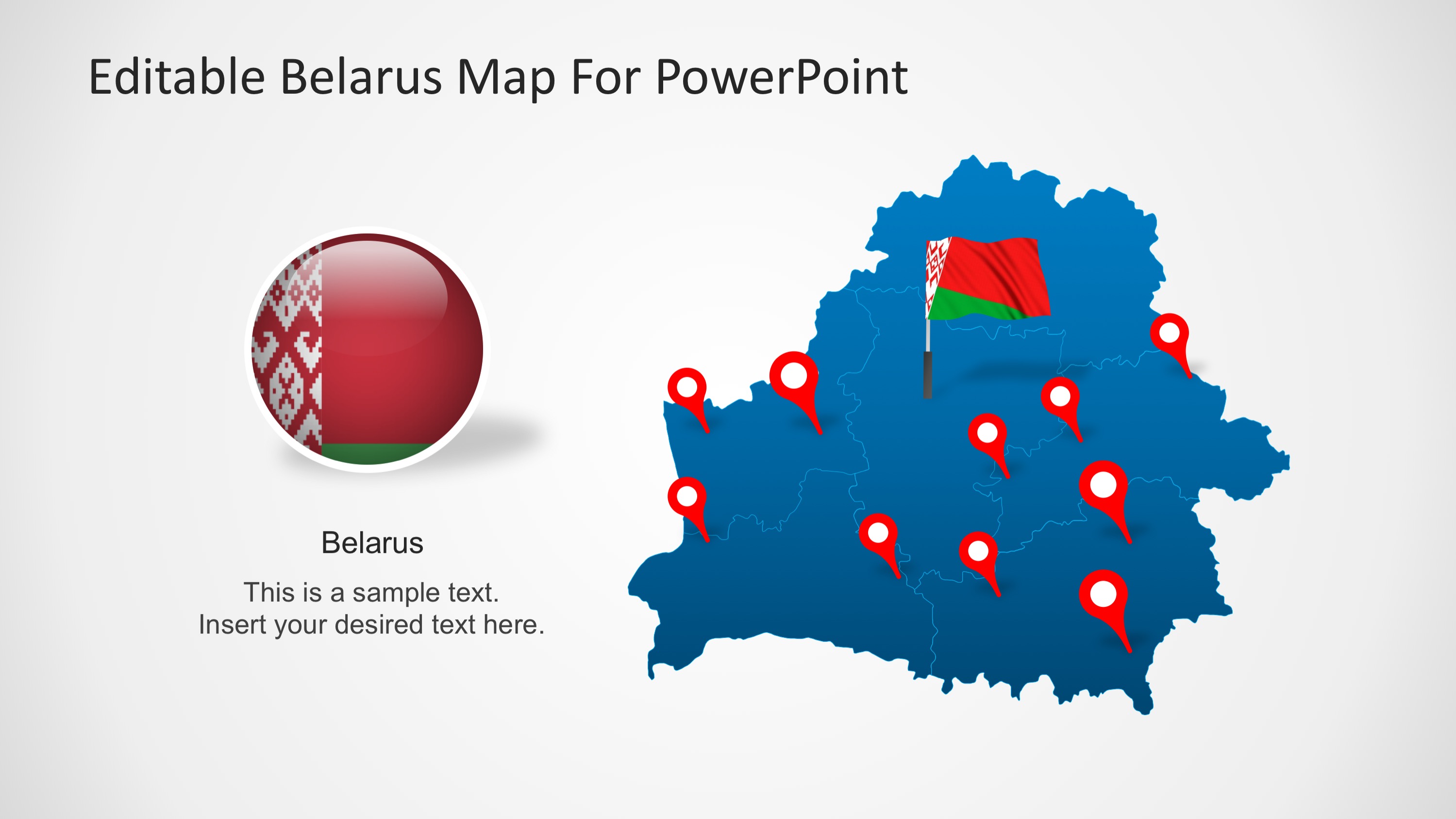
Editable Belarus Map for PowerPoint – The Republic of Belarus also known as Byelorussia or Belarus is a landlocked country in Eastern Europe. Bordered by Russia to the northeast, Ukraine to the south, Poland to the west, and Lithuania and Latvia to the northwest. Its capital city is Minsk.
What’s inside this template
Example presentation scenarios
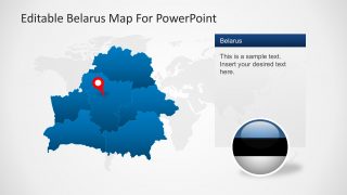
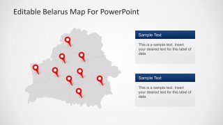
- A market analyst can brief executives on Belarus coverage areas by using the national pin marker map and the two text callout boxes for location notes.
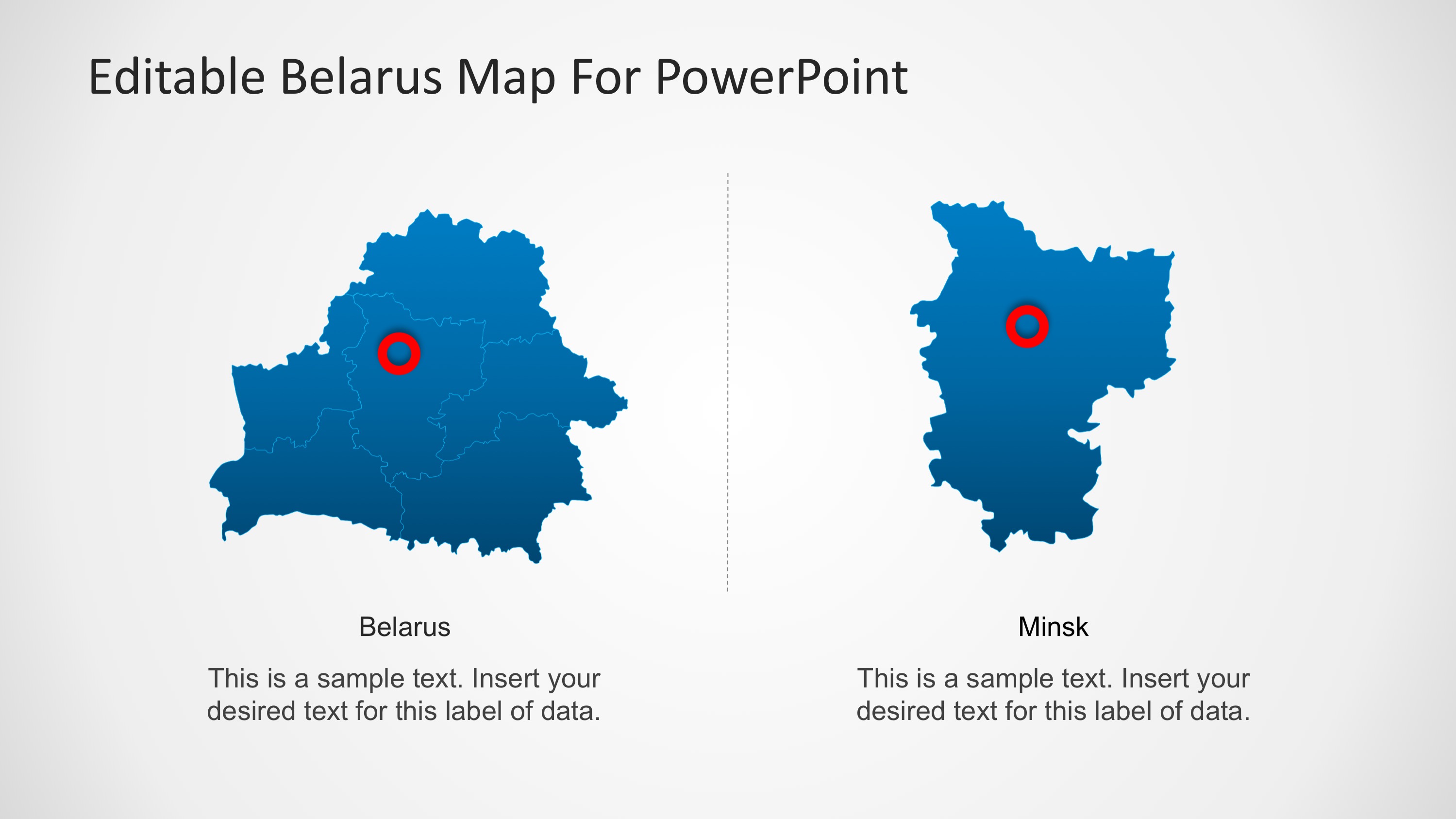
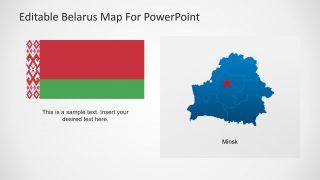
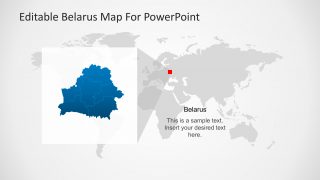
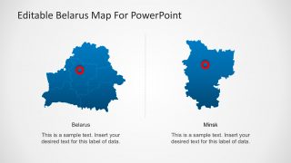
- An educator can introduce Belarus in an Eastern Europe lesson with the Europe locator map, flag panel, and Minsk city highlight.
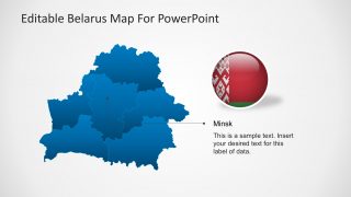
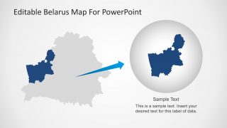
- A logistics manager can explain planned routes, facilities, or service points with the red pin layouts and the magnified region slide.
- A public sector or NGO presenter can map program activity by combining the gray Belarus pin map with editable labels for regional data.
Features
- 100% editable presentation template
- Compatible with Microsoft PowerPoint and Google Slides
- 16:9 aspect ratio slides
- Scalable vector shapes, icons and illustrations
- AI-Ready for Microsoft Copilot and Claude
- Instant access and download
Frequently asked questions
Q: How should I structure a short Belarus briefing with this template?
A: Start with the locator map to orient the audience, then move to the national map with pins for key places or projects. Use the Minsk callout when the capital matters to the story, and close with the magnified region slide if one territory needs extra attention. Keep each map tied to one decision or fact.
Q: Who is this Belarus map template best suited for?
A: It fits presenters who need to explain where something is happening in Belarus rather than present a full data report. Consultants, educators, NGO teams, logistics planners, and regional managers can use the pin maps, flag slides, and Minsk callouts to make territory, city, and country context clear for non-specialist audiences.
Q: Why do the slides use pins, flags, and zoomed map views together?
A: The layouts move from recognition to precision. The flag and country outline identify Belarus quickly, pin markers act as wayfinding metaphors for specific locations, and the magnified map view helps the audience understand focus areas without crowding the full country map. This sequencing reduces explanation time.



Editable Belarus Map for PowerPoint
8-slide map presentation template for Belarus location views, Minsk callouts, and regional pin markers
Editable Belarus Map for PowerPoint is an 8-slide map template for presenting Belarus geography in Microsoft PowerPoint and Google Slides. It includes a national map with pins, Europe locator map, Minsk callout, flag panel, regional comparison view, and highlighted territory layout for business, education, or public sector presentations.
- Category
- Maps
- Rating

 Loading...
- Aspect ratio
- 16:9, 4:3
- Item ID
- 6636-01
- Colors
 Microsoft PowerPoint
  Microsoft Copilot
  Claude for PowerPoint
 Other formats supported
Subscribe today and get immediate
access to download our PowerPoint templates.