Editable Russia Map Template for PowerPoint
Editable Russia Map Template for PowerPoint– fully customizable, this Russian map template can support personal and professional reports on numerous, relative concepts. Russian Federation or Russia, is the largest country in the world. It covers 11 time zones with a huge variation of landforms and geography. The layout of the template is in a cool shade that stimulates calmness and focus. Appeal to global audiences with this PowerPoint design.
Subject matters like history and statistics are ideal for this Microsoft presentation template. It can perfectly display geographical data, tourist spots and travel guides. It captures the outline on territory states and areas. The user can opt to highlight on a particular aspect of the Russian culture, lifestyle and boundaries through the layout. It allows 100% customization. Features like color scheme, shapes size, fonts and text placeholders can be changed. This makes the outline reusable and functional- a competitive edge to any other Russian map presentation.
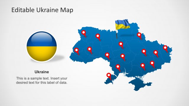
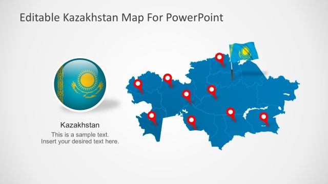
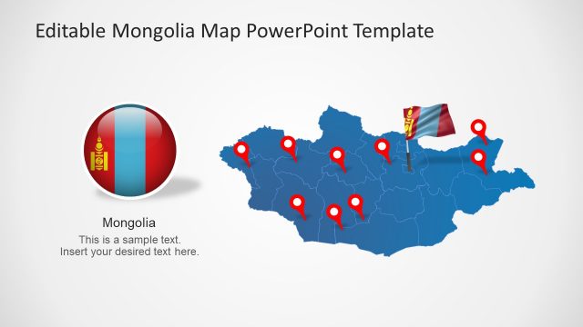
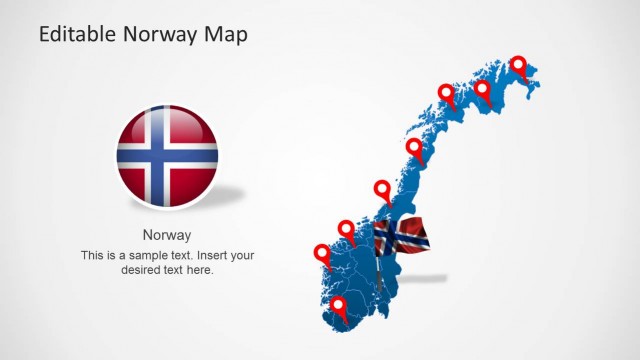
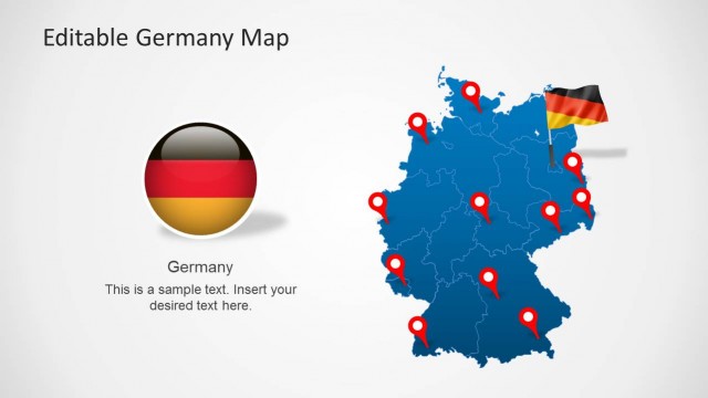
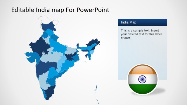
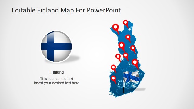
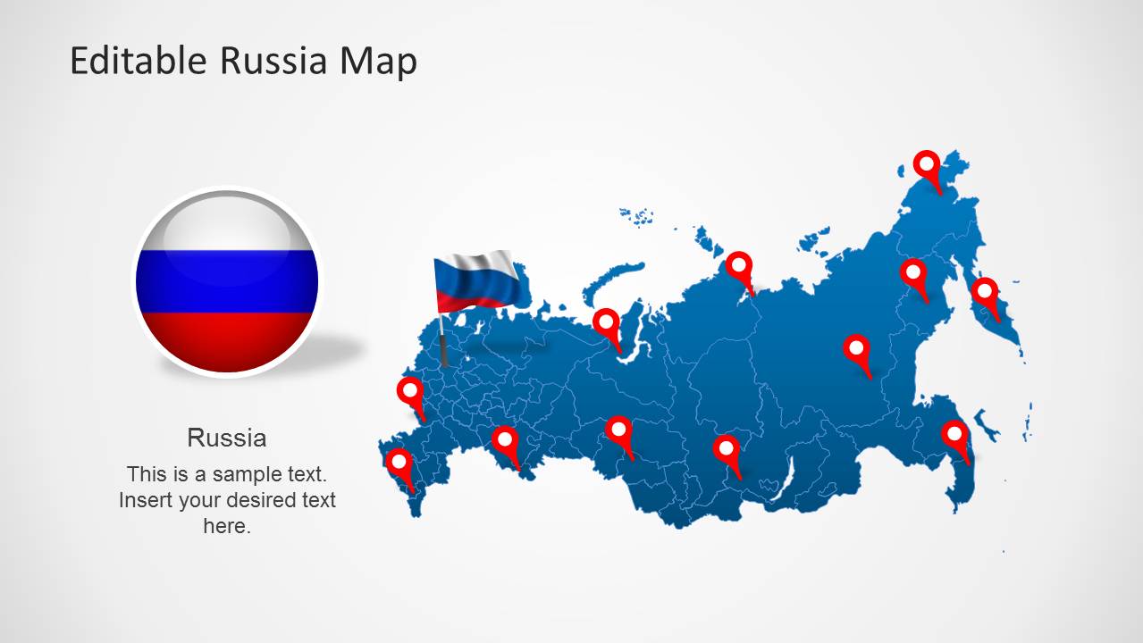
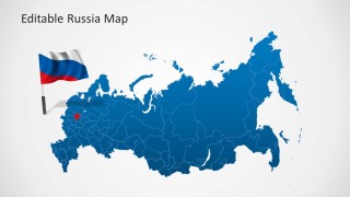
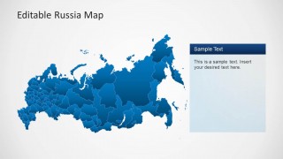
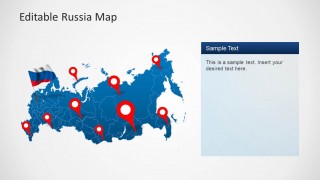
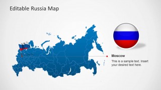
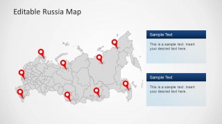
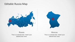
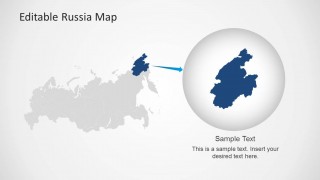
Nine unique and specific slides compose the file. The maps are in blue and light gray colors. The combination stimulates self-expression which is best in motivating the audience to interact and engage in the discussion. The first slide includes red land markers and a Russian flag on top of the plot. It has a circular image of the map of Russia on the left side that can serve as an icon or logo. In the second slide, each shade can represent an element. These can be interpreted using a color legend that can be created by the presenter. Other slides can be used to certain functions that suit the speaker’s concept.
Russia has a huge biodiversity and area. It is the 10th most populous country in the world. Like any other country, it has an overwhelming history and culture. It mapped location is in the northern part of the EurAsian region.
Impress professional audiences using Editable Russia Map Template for PowerPoint. Download BRIC Maps Template for PowerPoint for a larger scope of maps and diagrams.


You must be logged in to download this file.
DOWNLOAD- Category
- Maps
- Rating


 Loading...
- Size
- 16x94x3
- Item ID
- 6276-01
- Colors
Subscribe today and get immediate
access to download our PowerPoint templates.