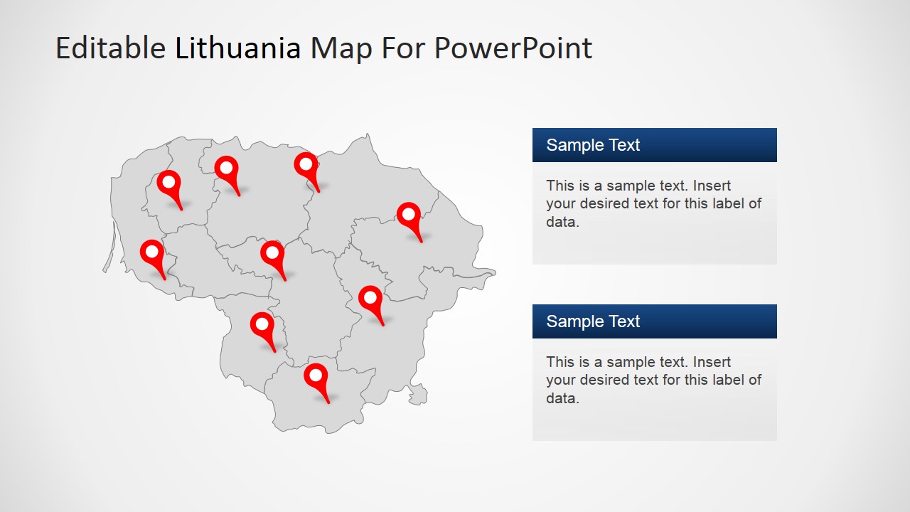
Editable Lithuania PowerPoint Map – Create professional geography or travel presentations featuring Lithuania with this 100% customizable Lithuania Map for PowerPoint. Each slide contains a different version of the Lithuania Map, created as a composite of States PowerPoint Shapes. The user can ungroup the map and work individually with each state or simply configure the political outline of the Map.
The Republic of Lithuania is located in the North of Europe, and known as one of the three Baltic States. It borders with the Baltic Sea at the west, Latvia to the north, Belarus to the east and south, Poland to the south and a small russian exclave called Kaliningrad Oblast at the southwest. The Capital and largest city is called Vilnius. Lithuania is member of the European Union (EU).
Lithuanian economy is being shifted towards a knowledge-based economy with special emphasis on biotechnology. The major biotechnology companies and laser manufacturers in Lithuania. The Information Technologies (IT) industry and mechatronics also have strong government support and strong universities support this kinds of high knowledge workforce. The focus of the economy is in high added-value products and services.
What’s inside this template
Example presentation scenarios
- A market analyst can use the regional Lithuania maps and pin marker slides to explain where customers, branches, partners, or target areas are concentrated.
- A travel or tourism presenter can use the flag, country map, and Vilnius highlight layouts to introduce Lithuania as a destination and point out key stops.
- An educator can use the world locator map and country outline slides to teach Lithuania's geographic position and internal regional structure.
- An operations manager can use the two-column map and zoom-in callout slide to compare national coverage with a specific city or service area.
Features
- 100% editable presentation template
- Compatible with Microsoft PowerPoint and Google Slides
- 16:9 aspect ratio slides
- Scalable vector shapes, icons and illustrations
- AI-Ready for Microsoft Copilot and Claude
- Instant access and download
Frequently asked questions
Q: How should a presenter communicate a location-based message with this template?
A: Start with a whole-country map to orient the audience, then move to pins, city markers, or the zoom-in layout only after the national context is clear. Use one color or marker style for the main message and keep callout text short, so the audience reads the geography before the details.
Q: Who is this Lithuania map template best suited for?
A: It fits presenters who need to explain where something happens in Lithuania, such as market coverage, travel destinations, public programs, regional operations, or education content. The template works best when the story depends on places, routes, districts, or Vilnius-specific context rather than abstract strategy or financial performance.
Q: Why do the map pins, flags, and zoom callouts help the presentation?
A: The visual metaphors make scale and relevance easier to understand. The flag identifies the country quickly, red pins direct attention to selected regions, and the zoom circle separates detail from the full map. This reduces confusion when the presenter shifts from national context to a specific city or area.




Editable Lithuania PowerPoint Map
8-slide map presentation template for Lithuania regions, Vilnius callouts, flags, and location markers.
Editable Lithuania PowerPoint Map is an 8-slide map template for Microsoft PowerPoint and Google Slides. It includes regional Lithuania maps, pin marker layouts, a world locator map, a Vilnius highlight, flag elements, and zoom-in map callouts for geography, travel, market, or operations presentations.
- Category
- Maps
- Rating


 Loading...
- Aspect ratio
- 16:9, 4:3
- Item ID
- 6455-01
- Colors
 Microsoft PowerPoint
 Microsoft Copilot
 Claude for PowerPoint
Other formats supported
Subscribe today and get immediate
access to download our PowerPoint templates.