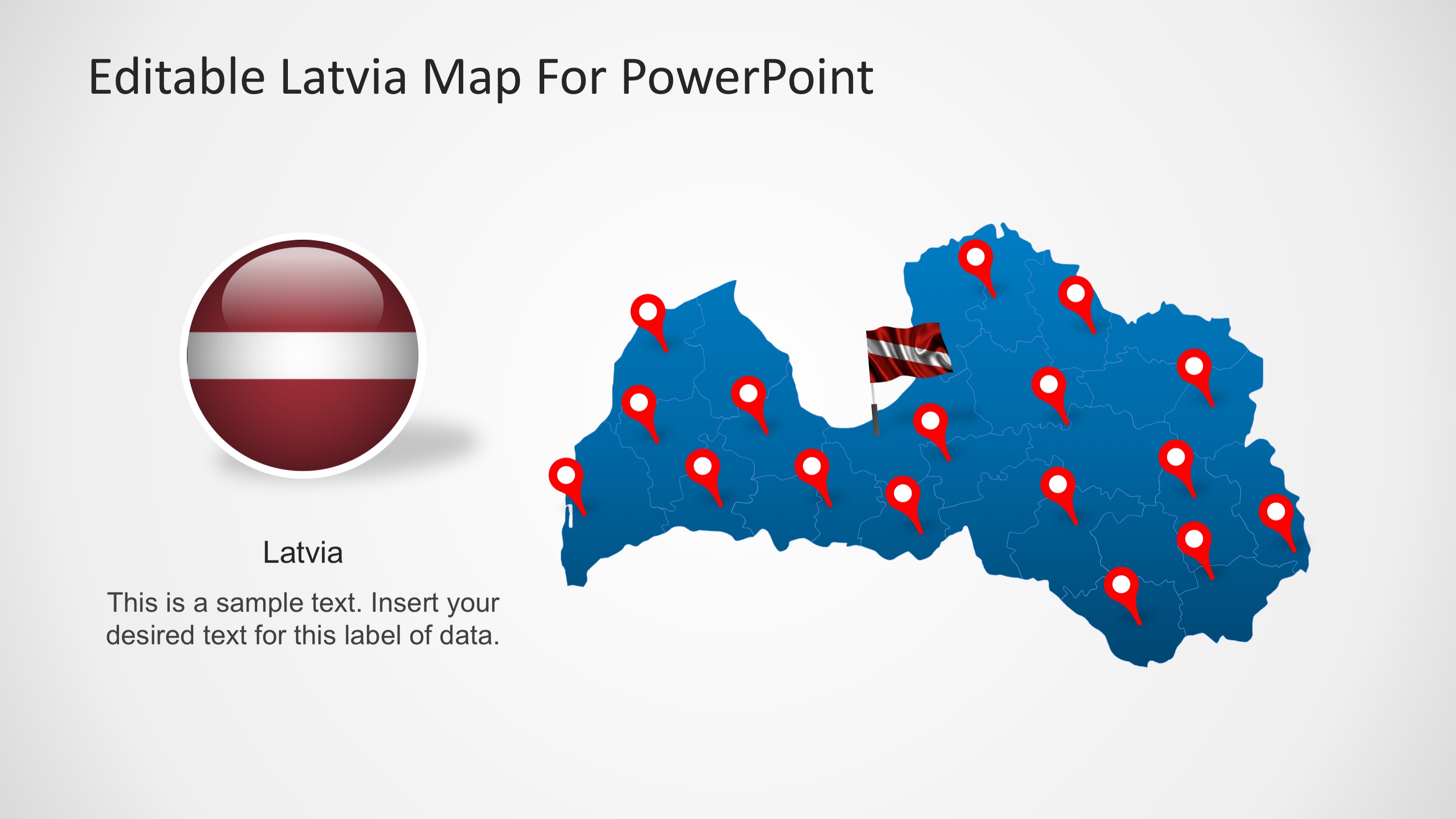
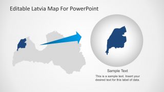
Editable Latvia PowerPoint Map -The PowerPoint Map is created with PowerPoint objects, allowing the user to fully customize its appearance.
The Republic of Latvia is located in the Baltic region of Northern Europe. It belongs to the Baltic states. It borders with Estonia to the north, Lithuania to the south, Russia to the east, and Belarus to the southeast,and Sweden to the west . The capital city of Latvia is Riga. Its official language is Latvian.
What’s inside this template
Example presentation scenarios
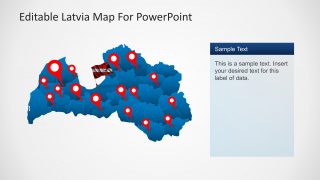
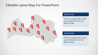
- A regional sales manager can show customer, partner, or branch coverage across Latvia using the full map with red location pins and text callouts.
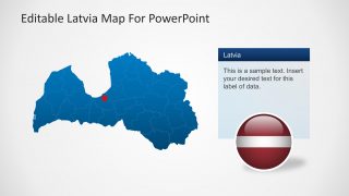
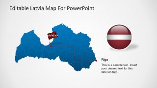
- A city development or tourism presenter can focus attention on Riga using the labeled Riga callout slide and the separate Riga map layout.
- An educator or policy analyst can explain Latvia's national geography using the country map, flag badge, and internal boundary details.
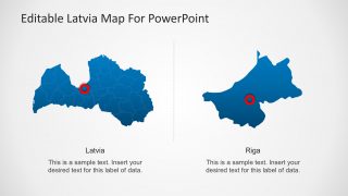
- A logistics or operations team can compare national and local coverage by using the side-by-side Latvia and Riga map slide.
Features
- 100% editable presentation template
- Compatible with Microsoft PowerPoint and Google Slides
- 16:9 aspect ratio slides
- Scalable vector shapes, icons and illustrations
- AI-Ready for Microsoft Copilot and Claude
- Instant access and download
Frequently asked questions
Q: How should a presenter structure a Latvia briefing with this map template?
A: Start with the national map to orient the audience, then move to the pinned location slide to show spread or coverage. Use the Riga callout when the story narrows to the capital, and finish with the zoomed regional highlight if one area needs extra detail. Keep each map tied to one decision or takeaway.
Q: Who is this template best suited for?
A: It fits presenters who need to explain Latvia-specific geography without building a map from scratch. Regional managers, consultants, educators, government teams, travel planners, and nonprofit program leads can use the pinned maps, Riga focus slide, and regional highlight to show where activity, services, risks, or opportunities are located.
Q: Why do the pin, flag, and zoom layouts help the audience understand the message?
A: The design uses familiar map metaphors: pins mark places, the flag badge anchors national identity, and the zoom inset signals closer inspection. This helps the audience separate three ideas quickly: where Latvia is being discussed, which locations matter, and when one city or region deserves deeper explanation.
You may also like:


Editable Latvia PowerPoint Map
8-slide Latvia map presentation template with regional pins, Riga callouts, and Baltic location visuals
Editable Latvia PowerPoint Map is an 8-slide map template for presenting Latvia locations, regions, and Riga-focused information. Visible layouts include a full Latvia map with pins, a Riga callout map, side-by-side Latvia and Riga maps, and a zoomed regional highlight. It is built for business, education, travel, and government presentations in PowerPoint and Google Slides.
- Category
- Maps
- Rating

 Loading...
- Aspect ratio
- 16:9, 4:3
- Item ID
- 6699-01
- Colors
 Microsoft PowerPoint
  Microsoft Copilot
  Claude for PowerPoint
 Other formats supported
Subscribe today and get immediate
access to download our PowerPoint templates.