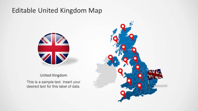
UK Map for PowerPoint is a presentation design template containing an editable map of United Kingdom that you can use to decorate your presentation slides.
You can use the UK PowerPoint template map design to prepare presentations on sales report for companies in United Kingdom.
Ideal for business reports, market analysis, educational presentations, and territorial planning, this editable map template for PowerPoint & Google Slides includes.
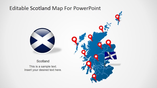
- UK Map Outline: Highlight specific regions, cities, or countries within the UK, including England, Scotland, Wales, and Northern Ireland.
- Customizable Elements: Easily modify colors, text, and markers to emphasize key locations.
- Multi-Purpose Use: Perfect for business strategy, sales presentations, academic research, and travel planning.
- Compatible with Microsoft PowerPoint, Google Slides, Canva and Keynote, this template allows seamless integration into your workflow.
Whether you’re presenting market expansion plans, political trends, or regional demographics, the UK Map PowerPoint Template provides a clear, professional, and visually engaging way to showcase your insights. You can also combine this slide with other data-driven charts into your presentations and integrate statistics, or geographical insights to enhance your analysis.
Enhance your presentations with the UK Map PowerPoint Template, a fully editable and professional slide deck featuring high-quality map illustrations of the United Kingdom. Alternatively you can download other maps for PowerPoint with editable shapes.
What’s inside this template
Example presentation scenarios
- A sales manager can use the colored UK map and location pin callouts to explain regional coverage, priority accounts, or territory assignments to a commercial team.
- A market analyst can use the left-side text panel with the UK map outline to summarize geographic findings, target regions, or customer concentration for an executive update.
- An operations planner can use the dark or light map variants to show facility locations, service areas, or logistics hubs during a regional planning meeting.
- An educator can use the simple United Kingdom outline and markers to point out areas of interest while keeping explanatory notes visible beside the map.
Features
- 100% editable presentation template
- Compatible with Microsoft PowerPoint and Google Slides
- 16:9 aspect ratio slides
- Scalable vector shapes, icons and illustrations
- AI-Ready for Microsoft Copilot and Claude
- Instant access and download
Frequently asked questions
Q: How should a presenter use these map slides to make a regional message clear?
A: Start by naming the geographic point of the slide, such as a target region, office location, or service area. Use one strong location pin rather than crowding the map. Keep the left text block to a short explanation, decision, or takeaway so the audience reads the map and the message as one unit.
Q: Who is this template best suited for?
A: This template fits presenters who need to discuss the United Kingdom as a location context rather than a full data report. Sales leaders, market analysts, operations planners, educators, and public sector teams can use the UK map, marker pins, and short notes to orient an audience around regions, sites, or coverage areas.
Q: Why does the design repeat the same UK map in different colors?
A: The repeated map structure lets a presenter keep geography constant while changing emphasis through color. Blue, cyan, orange, white, and dark gray variants can separate topics, audiences, or stages without forcing the audience to relearn the layout. The pin metaphor makes each slide read as a specific place-based point.
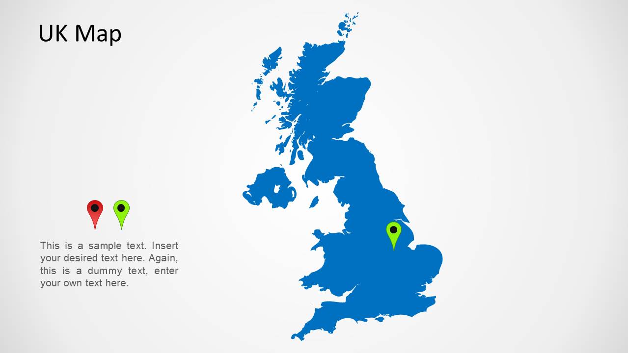


UK Map for PowerPoint
5-slide UK map slide template with location markers for regional reports and territory planning.
UK Map for PowerPoint is a 5-slide map presentation template with editable United Kingdom map outlines, location pin markers, short text blocks, and color variants in blue, cyan, orange, white, and dark gray. It is built for regional business, sales territory, market, education, or planning presentations in Microsoft PowerPoint and Google Slides.
- Category
- Maps
- Rating


 Loading...
- Aspect ratio
- 16:9
- Item ID
- 1176
- Colors
 Microsoft PowerPoint
 Microsoft Copilot
 Claude for PowerPoint
Other formats supported
Subscribe today and get immediate
access to download our PowerPoint templates.