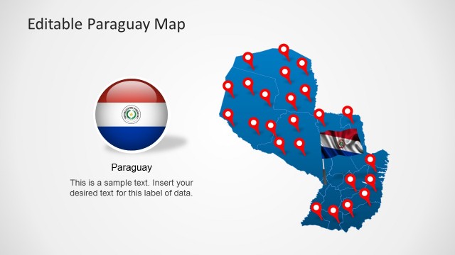
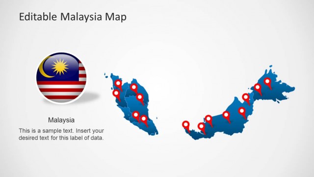
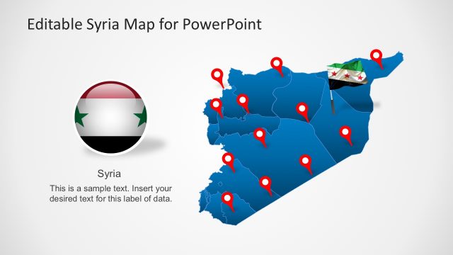
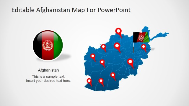
Create presentations with an editable map of Armenia with the Editable Armenia Map Template for PowerPoint.
This template is among our huge collection of PowerPoint Map Templates which provide editable maps, including World Maps, Continental Maps and maps for individual countries from around the globe.
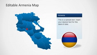
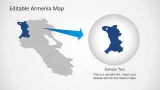
With the Editable Armenia Map Template for PowerPoint you can display a complete map of Armenia, as well as all major regions of the country in the form of individual maps by separating any area from the main map.
What’s inside this template
Example presentation scenarios
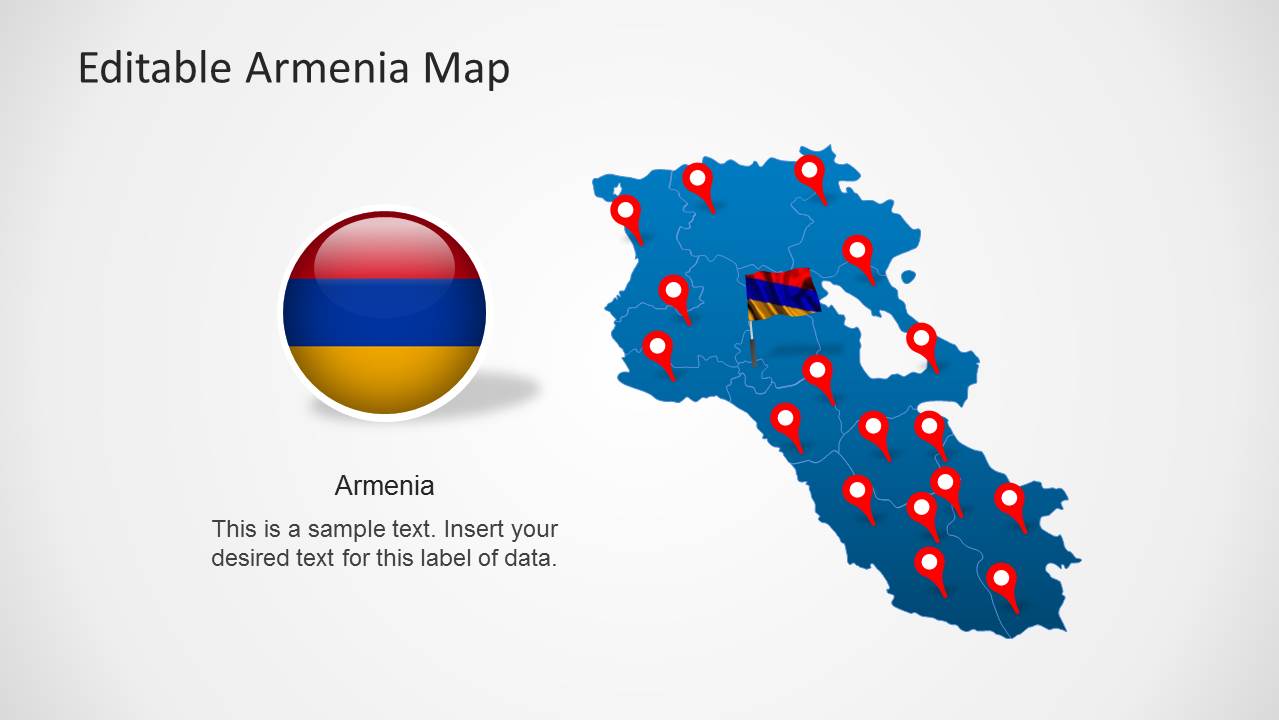
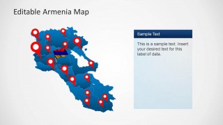
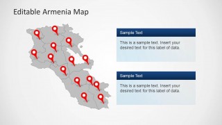
- A market analyst can use the full Armenia map with location pins to explain branch coverage, customer clusters, or priority regions to executives.
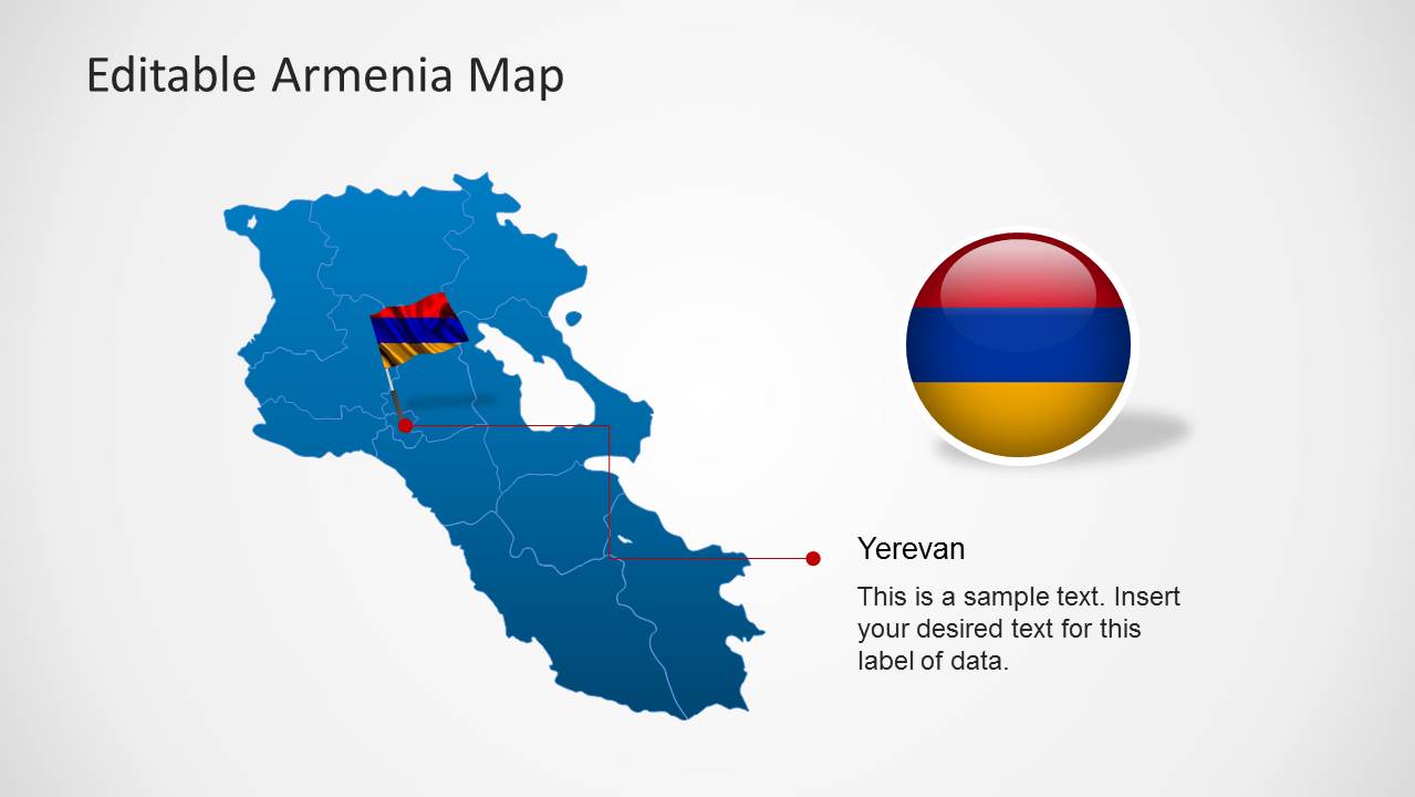
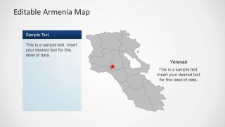
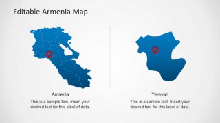
- A public sector presenter can use the gray map with the Yerevan star callout to explain where a program, policy, or capital-area initiative is centered.
- A logistics or operations manager can use the two stacked text-panel layout to compare service notes, risk areas, or delivery observations across marked regions.
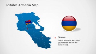
- An educator or country briefing speaker can use the isolated Yerevan comparison slide to move from national context to a focused city-level discussion.
Features
- 100% editable presentation template
- Compatible with Microsoft PowerPoint and Google Slides
- Scalable vector shapes, icons and illustrations
- AI-Ready for Microsoft Copilot and Claude
- Instant access and download
Frequently asked questions
Q: How should a presenter build a clear Armenia briefing with this map deck?
A: Start with the full Armenia map to establish national context, then narrow the discussion using the shaded regional map or the Yerevan callout. Use pin-heavy slides only when each marker has a clear meaning. Keep callout text short so the audience reads geography first and supporting explanation second.
Q: Who is this template best suited for?
A: This template fits presenters who need to explain where something is happening in Armenia: market analysts, policy teams, logistics planners, educators, and territory managers. It works best when the presentation goal is to orient an audience around regions, locations, capital-city relevance, or selected areas rather than to present a full statistical report.
Q: Why do the pin, flag, and magnified region layouts help communication?
A: The design uses familiar map metaphors: pins signal locations, the flag badge identifies country context, and the magnified region slide creates a clear zoom effect. These cues reduce explanation time because the audience immediately understands whether the presenter is showing national coverage, a capital reference, or a selected territory.




Editable Armenia Map Template for PowerPoint
8-slide Armenia map presentation template with regional callouts, location pins, and Yerevan detail layouts
Editable Armenia Map Template for PowerPoint is an 8-slide map deck for country briefings, market planning, and location-based reporting. Visible layouts include a full Armenia map with pins, regional shaded map, Yerevan callout, two-panel comparison, and magnified region view. The maps use editable PowerPoint shapes and vector graphics.


 Loading...
 Microsoft PowerPoint
  Microsoft Copilot
  Claude for PowerPoint
 Other formats supported
Subscribe today and get immediate
access to download our PowerPoint templates.