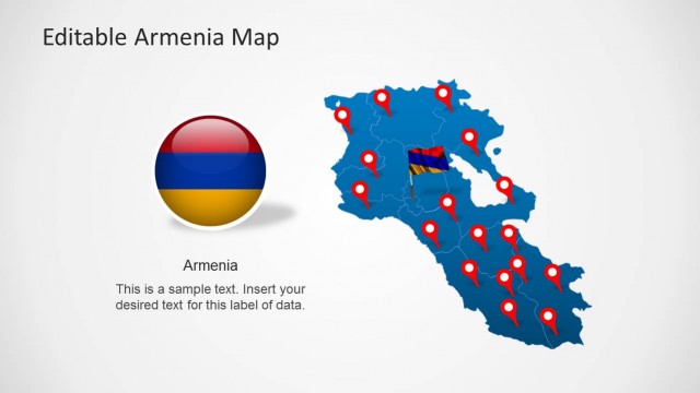
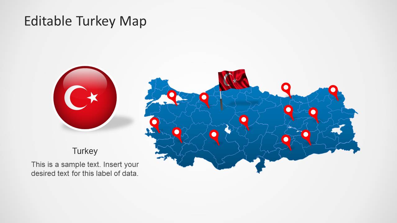
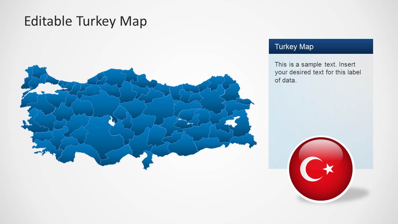
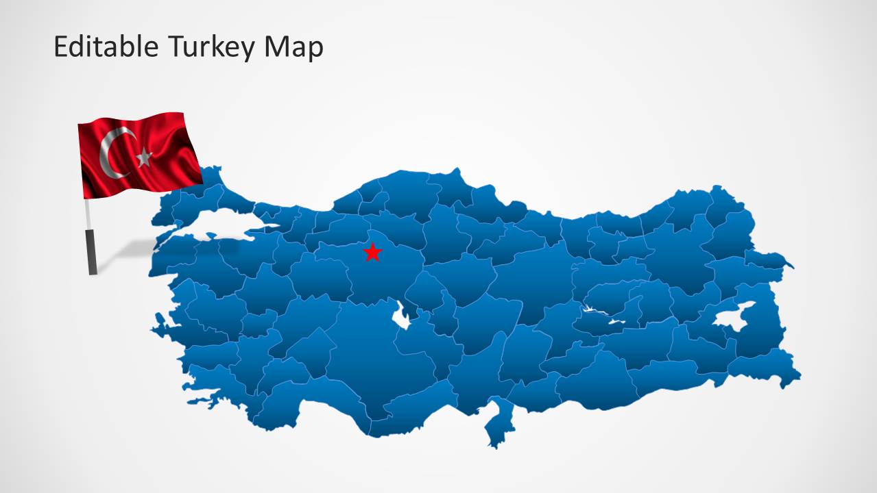
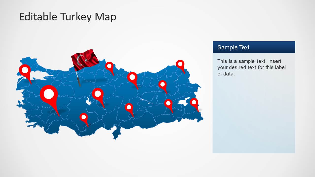
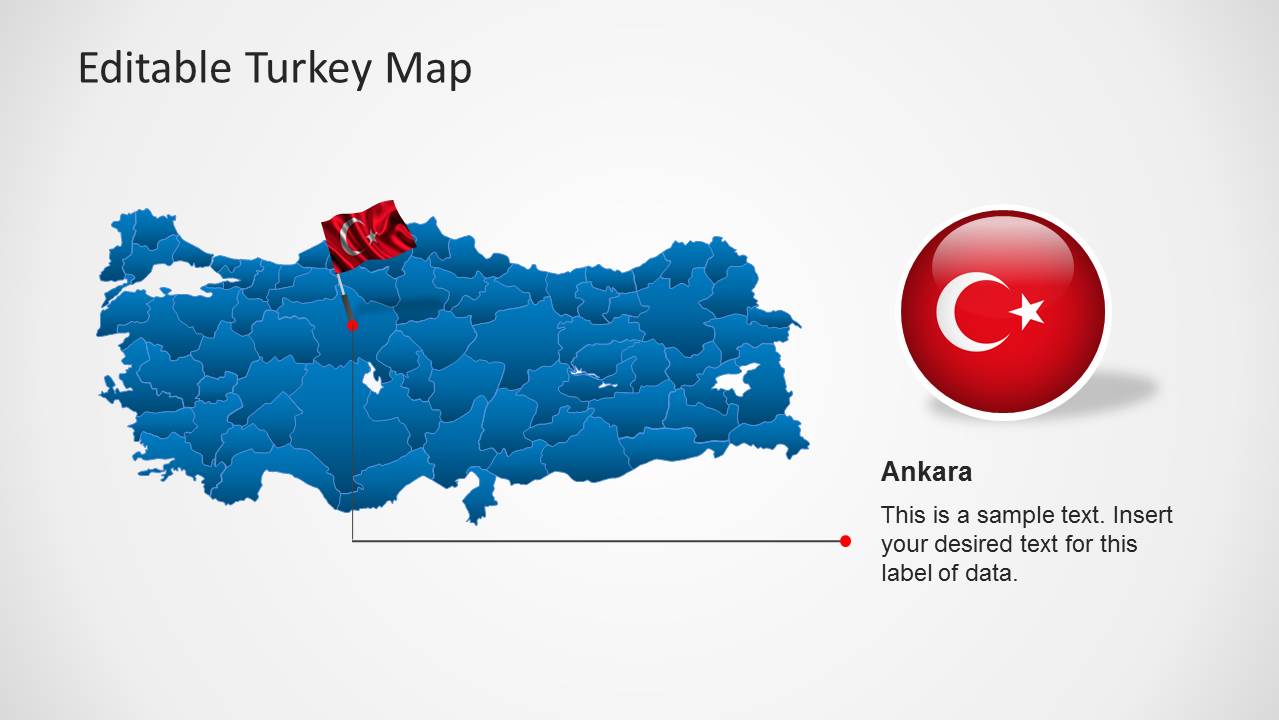
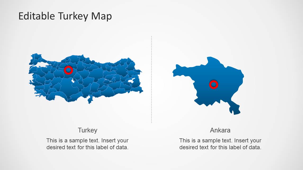
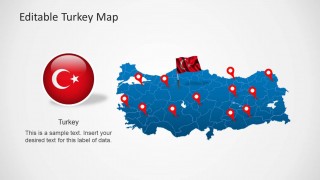
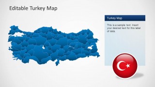
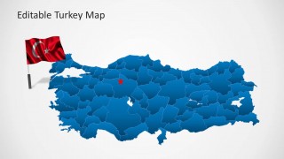
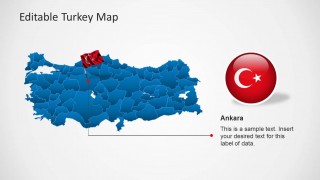
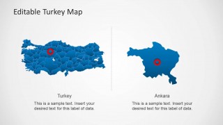
Turkey Map Template for PowerPoint is a presentation containing outline and political map representations of the Republic of Turkey. You can download this presentation to create your own geographical references to Turkey. The presentation provides the maps with different backgrounds, 2 different representations of the flag of Turkey (flag icon and 3d-circle icon). A specific slide contains a reference to Turkeys capital Ankara.
The map is constructed of independent state objects, that can be manipulated and customized as independent PowerPoint shapes.
What’s inside this template
Example presentation scenarios
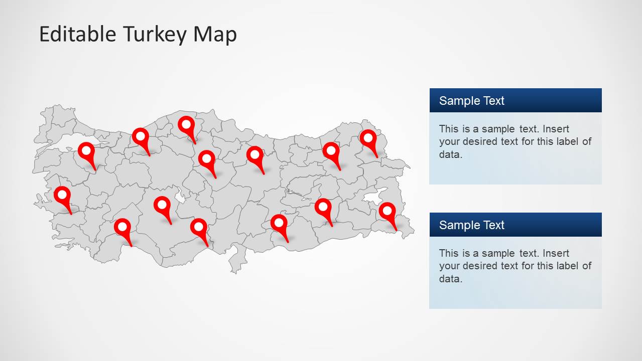
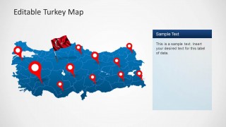
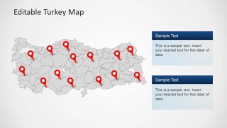
- A market analyst can present regional demand or branch coverage in Turkey using the blue political map, red location pins, and right-side text panels.
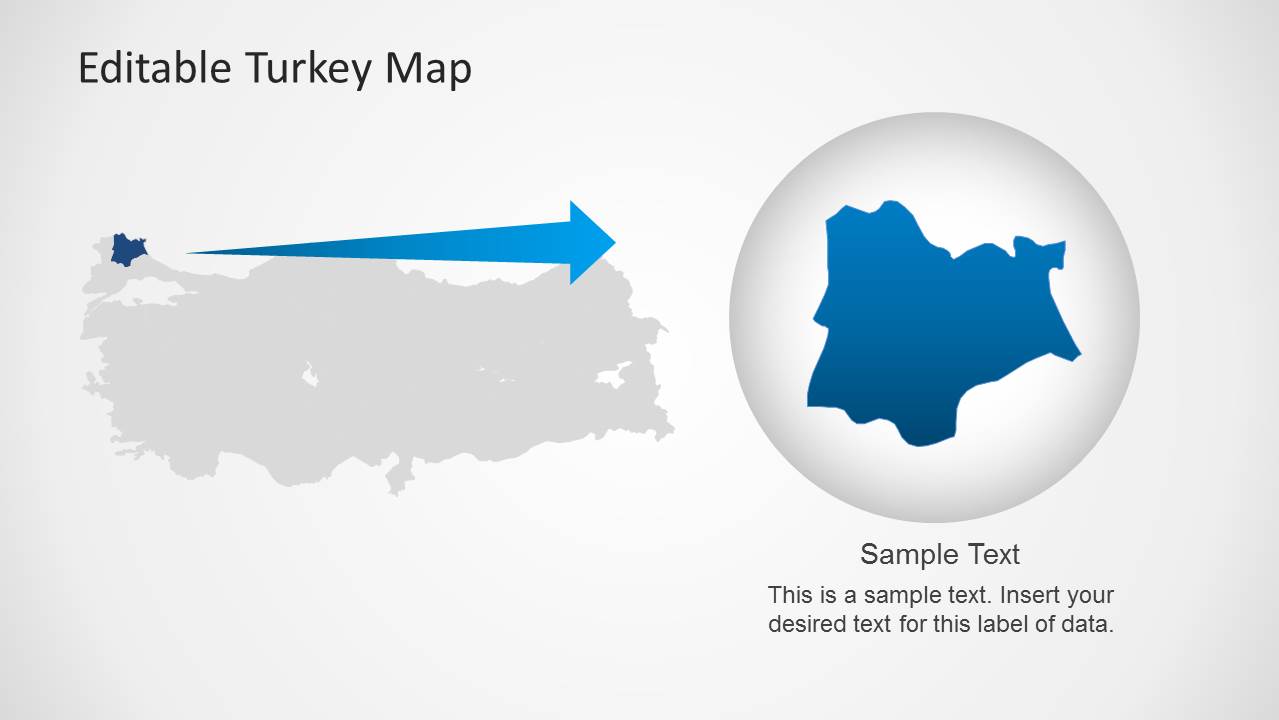
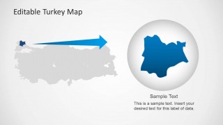
- A logistics presenter can explain service areas or route priorities by marking provinces on the Turkey map and using the zoom-in slide to isolate one region.
- An educator can introduce Turkey's geography and capital by combining the full-country map, Turkish flag visuals, and the Ankara comparison slide.
- A public sector team can summarize regional program activity with the gray outline map, stacked callout boxes, and pin markers for selected locations.
Features
- 100% editable presentation template
- Compatible with Microsoft PowerPoint and Google Slides
- Scalable vector shapes, icons and illustrations
- AI-Ready for Microsoft Copilot and Claude
- Instant access and download
Frequently asked questions
Q: How should a presenter organize a short Turkey geography briefing with this template?
A: Start with the full political map to establish national context, then move to the pin-based map to identify priority locations. Use the Ankara slide only when the capital matters to the story. End with the zoom-in layout if the audience needs a closer view of one area rather than more general country context.
Q: Who is this Turkey map deck best suited for?
A: This deck fits presenters who need to explain where activity is happening inside Turkey. Consultants, analysts, educators, logistics teams, and regional managers can use the province map, pins, flag graphics, and text panels to connect place-based information with a clear spoken explanation.
Q: Why do the flag, pins, and zoom lens help the map message?
A: The flag graphics signal country identity before the audience reads the labels, while red pins separate selected places from the blue or gray map base. The zoom lens metaphor on the final slide shifts attention from national context to a single area, helping the presenter control visual focus.
Turkey Map Template for PowerPoint
8-slide PowerPoint map template with Turkey political maps, location pins, and Ankara callouts
Turkey Map Template for PowerPoint is an 8-slide map presentation for showing Turkey geography and regional points. It includes blue political maps, gray outline maps, red location pins, Turkish flag icons, an Ankara callout, and a zoom-in highlight. It is intended for business, education, travel, and regional planning presentations in PowerPoint.

 Loading...
 Microsoft PowerPoint
  Microsoft Copilot
  Claude for PowerPoint
 Other formats supported
Subscribe today and get immediate
access to download our PowerPoint templates.