Australia Map Template for PowerPoint is a presentation design template containing the map of Australia created with PowerPoint graphics and shapes. You can download this map presentation template for PowerPoint to prepare awesome presentations with the Map of Australia in the slide design. Easily you can customize the map colors for the Australia states and territories as well as shading effects. Also you can create your own slides for presentations on logistics and doing businesses with Australian companies.
What’s inside this template
Example presentation scenarios
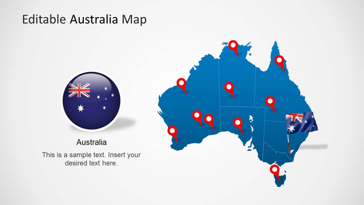
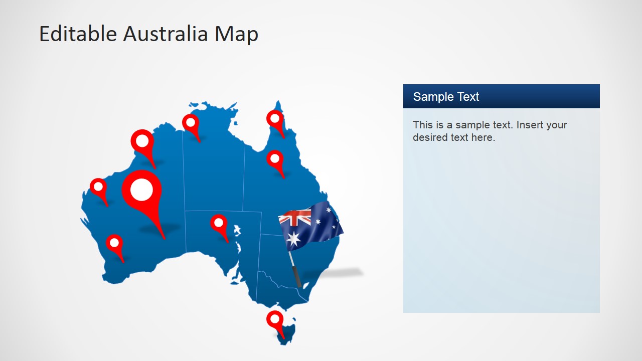
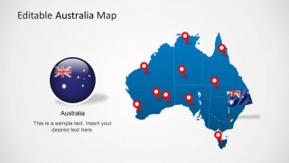
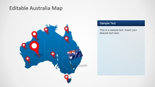
- A market strategy presenter can show national coverage by starting with the full Australia map and then using the location pin slides to identify priority cities, facilities, or sales territories.
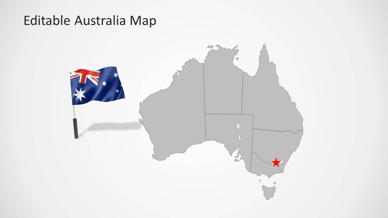
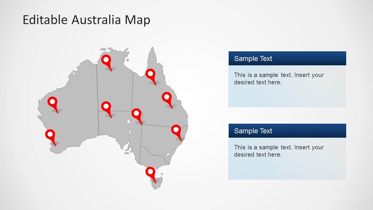
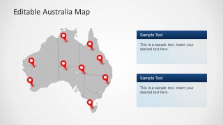
- A logistics manager can explain route coverage or service locations with the gray pin map and use the right-side text panels to separate operational notes by region.
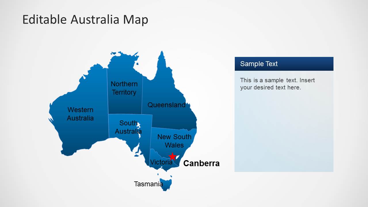
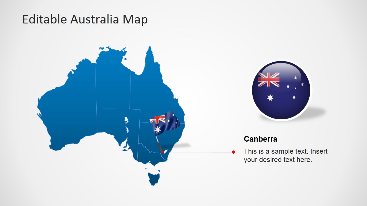
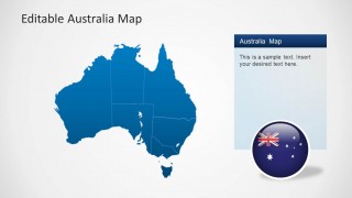
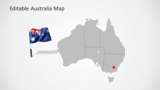
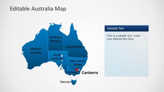
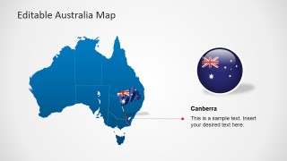
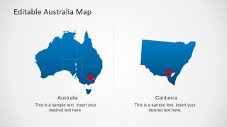
- An educator or public sector speaker can introduce Australian geography with the labeled state and territory map, then focus attention on Canberra using the dedicated callout slide.
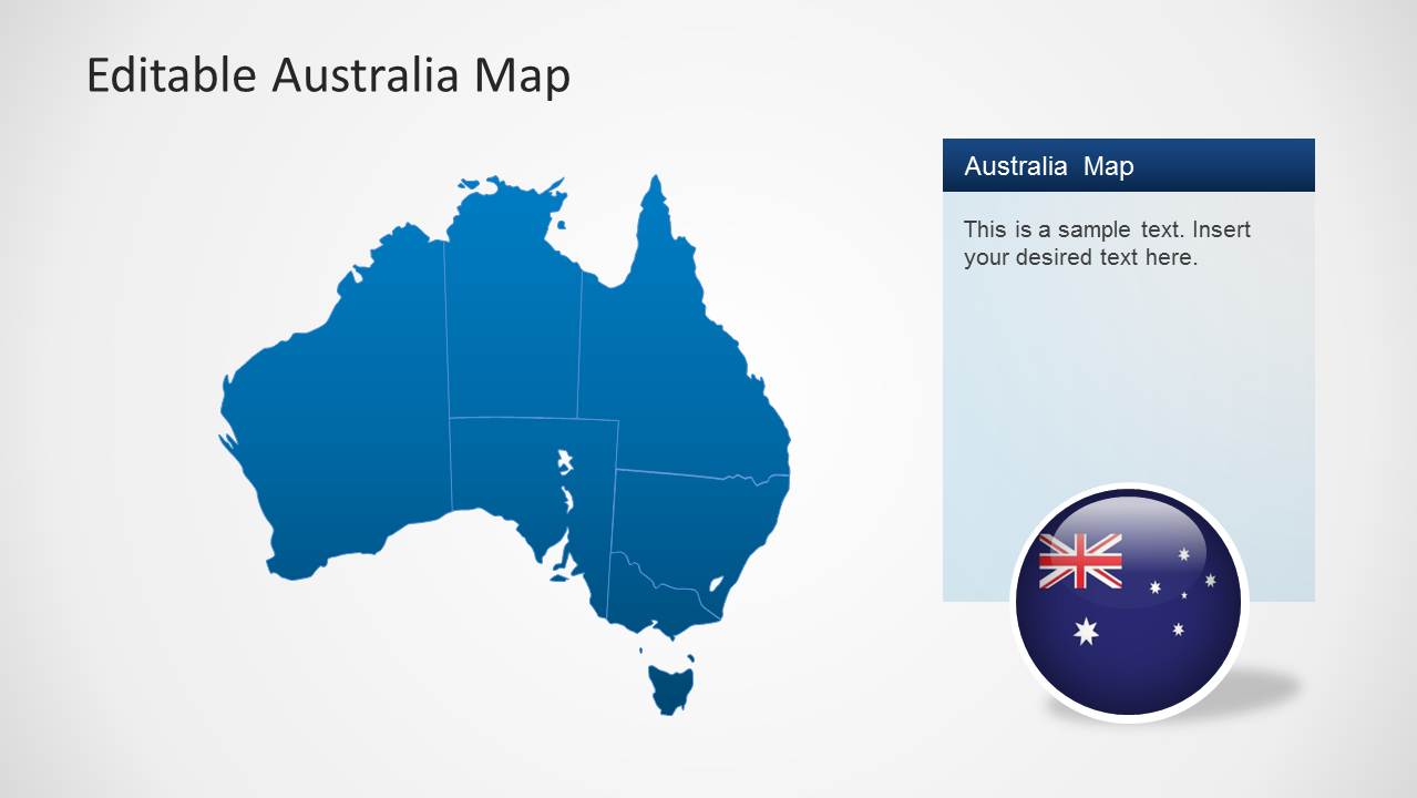
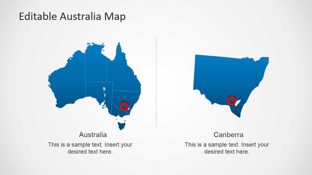
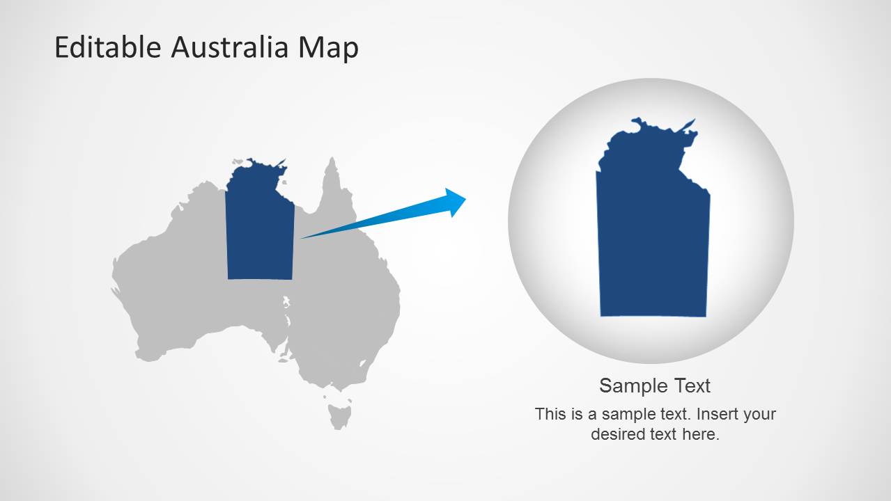
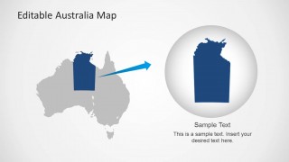
- A consultant can brief executives on an Australia entry plan by using the national map, state labels, and regional zoom layout to move from broad context to a selected area.
Features
- 100% editable presentation template
- Compatible with Microsoft PowerPoint and Google Slides
- 16:9 aspect ratio slides
- Scalable vector shapes, icons and illustrations
- AI-Ready for Microsoft Copilot and Claude
- Instant access and download
Frequently asked questions
Q: How should a presenter structure a clear Australia geography briefing with this template?
A: Start with the full Australia map to set national context, then use the labeled state and territory slide to define the regional frame. Move to the pin maps for specific locations, and finish with the Canberra or zoom layout when the audience needs detail on one area. This keeps the story from becoming a list of disconnected places.
Q: Who is this Australia map template best suited for?
A: It fits presenters who need to explain where activity is happening in Australia, such as regional managers, consultants, logistics planners, educators, and public sector teams. The pin maps work well for site coverage, the labeled map supports geography instruction, and the Canberra slide helps when the capital or southeast region needs special attention.
Q: Why do the pins, flags, and zoom circle improve the communication of geographic information?
A: The red pins act as familiar location markers, so the audience can quickly identify points of interest without reading long text. The flag graphics establish national context, while the zoom circle on the regional highlight slide works as a focus metaphor. Together, these visual cues separate overview, identity, and detail.
Australia Map Template for PowerPoint
9-slide Australia map presentation template with state regions, location pins, and Canberra callouts
Australia Map Template for PowerPoint is a 9-slide map presentation template for Microsoft PowerPoint and Google Slides. It includes editable Australia state maps, location pin callouts, a Canberra detail view, flag graphics, regional highlight layouts, and text panels for geography, logistics, market entry, or business presentations.
- Category
- Maps
- Rating


 Loading...
- Aspect ratio
- 16:9, 4:3
- Item ID
- 6290-01
- Colors
 Microsoft PowerPoint
  Microsoft Copilot
  Claude for PowerPoint
 Other formats supported
Subscribe today and get immediate
access to download our PowerPoint templates.