Editable Myanmar PowerPoint Map
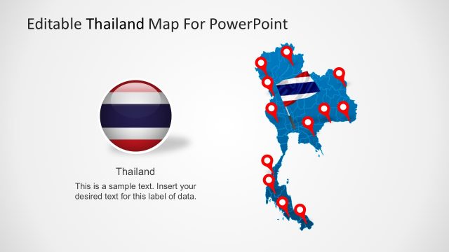
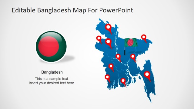
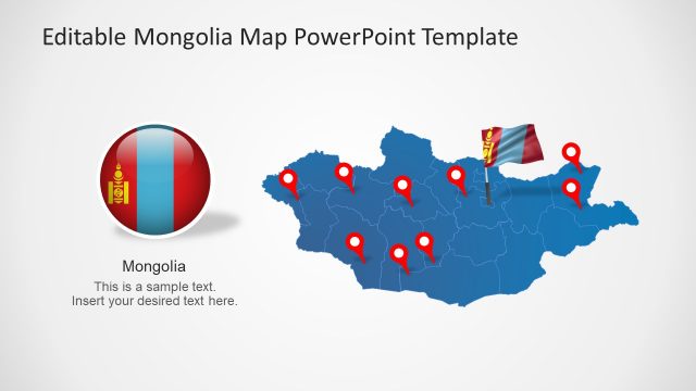
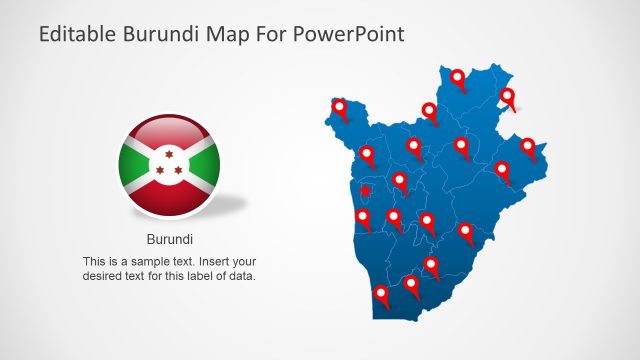
The Editable Myanmar PowerPoint Map is a professional tool for presenting demographic data of a country. Myanmar, formally known as Burma is an Asian sovereign state located in South-East of the continent. The neighboring countries include India, China Bangladesh, Thailand and Laos. The Republic of the Union of Myanmar geographically has fourteen states and regions. A religiously diverse country has 135 recognized ethnic minorities. This PowerPoint is a best way to present demographics of Myanmar using geographical maps. For example, statistics of population, ethnicity, language, education level, health and religious groups.
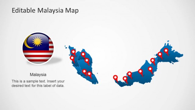
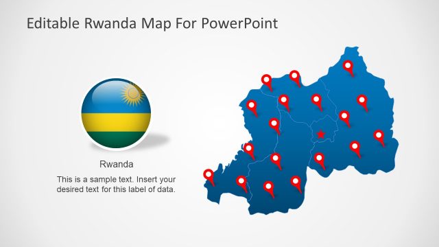
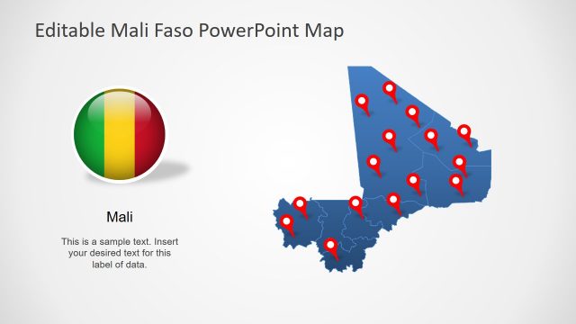
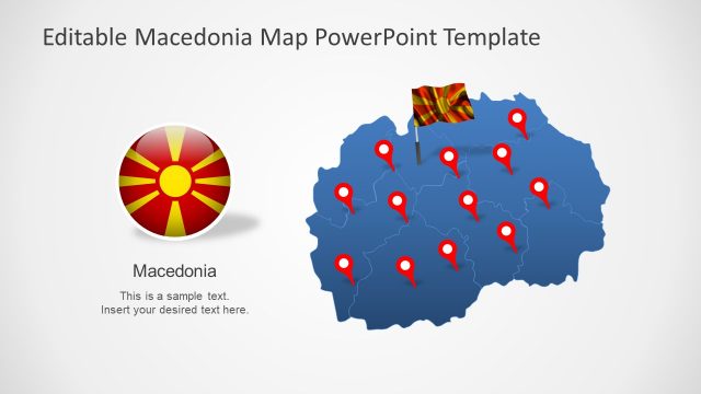
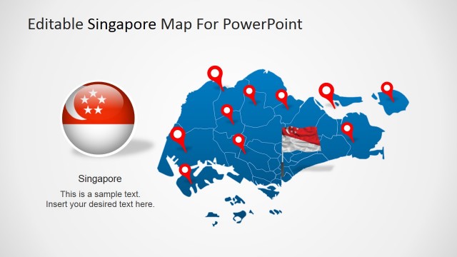
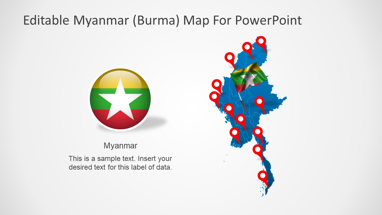
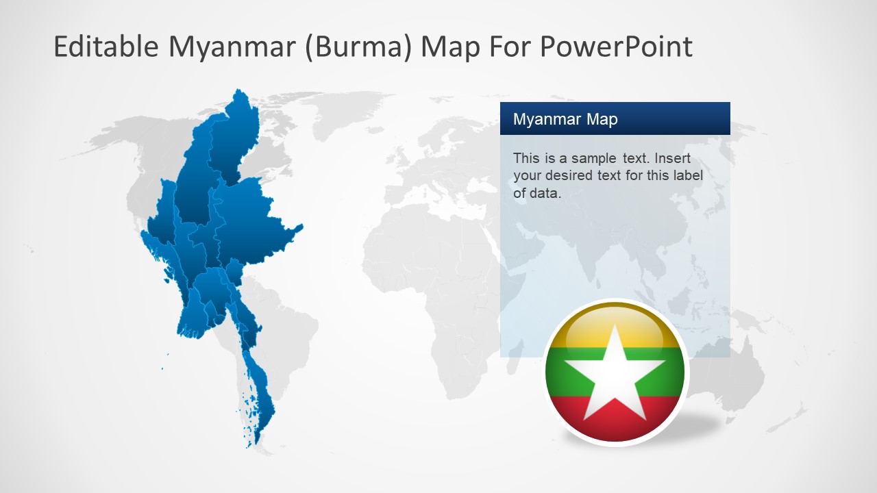
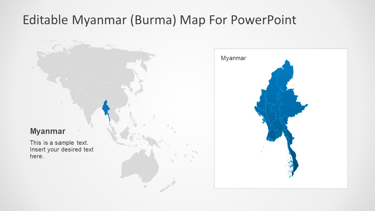
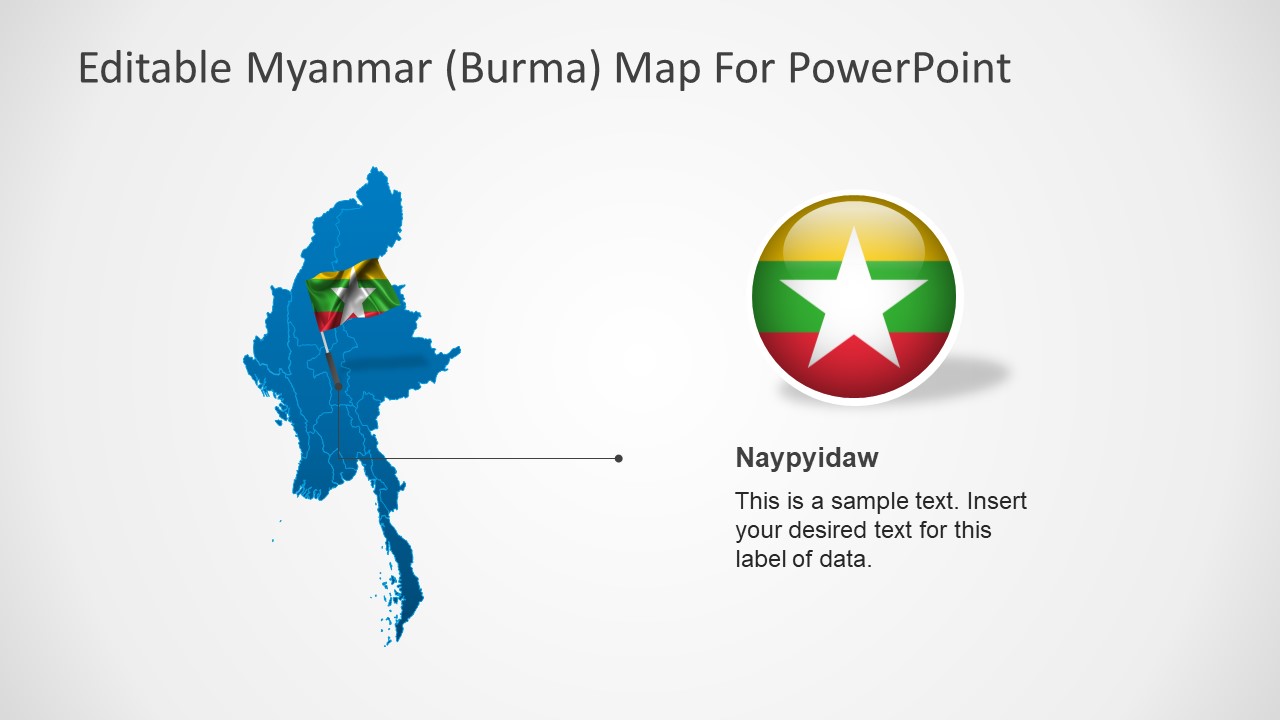
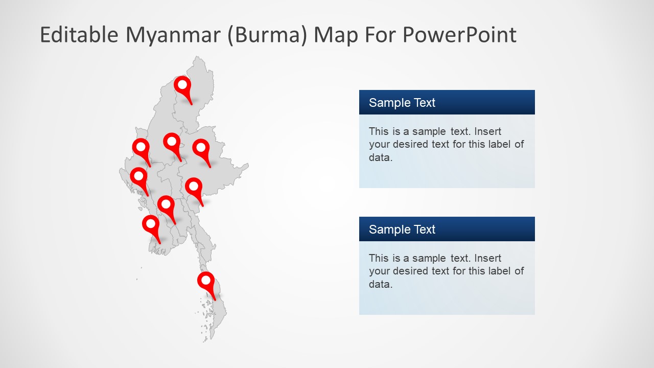
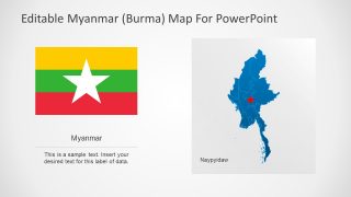
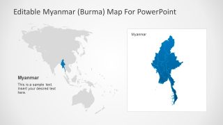
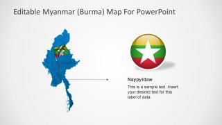
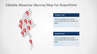
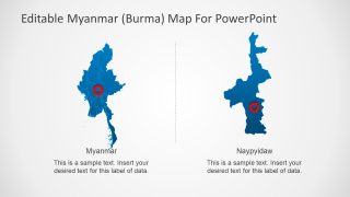
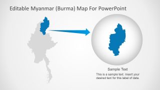
The Editable Myanmar PowerPoint Map contain eight featureful slides of country geographic area. These are collection of PowerPoint shapes join to create a specific map outline, like jigsaw pieces. Thus, all the shapes are separately editable, enabling users to change colors, size or more figures. Additionally, increasing or decreasing the size of image does not affect the quality of high-resolution shapes. The Myanmar map template slides show different versions and design. Such as, image with location pointers, blue and gray color, with flag icon and badge etc. The flag representation in Myanmar map PowerPoint also has multiple designs like circular badge, pole and flat vector image. To add subject details and information, the template contains various text placeholder designs as well.
The users can copy selective slides or map shapes in other presentations. Moreover, customizations let users to add many colors to the shapes, zoom in or out to focus on specific region. Also, use flag icons and location pins to highlight a geographical area on map. Present analysis reports based on statistics using additional data visualization and infographic charts. Suitable for demonstrating topics related to geography, real estate, population, market scope etc. Therefore, teachers, business and marketing managers and researchers can benefit from this PowerPoint.


You must be logged in to download this file.
DOWNLOAD- Category
- Maps
- Rating

 Loading...
- Size
- 16x94x3
- Item ID
- 7349-01
- Colors
Subscribe today and get immediate
access to download our PowerPoint templates.