PowerPoint Presentation for Nepal
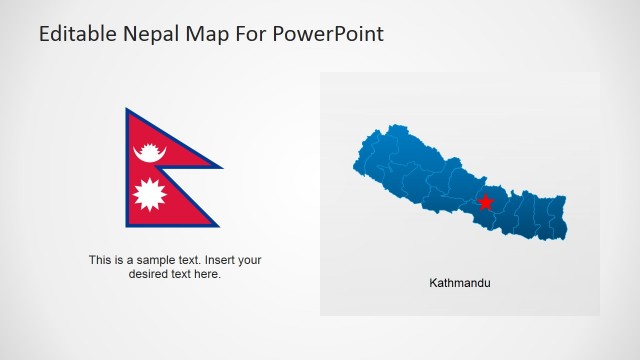
This PowerPoint slide is perfect for educational presentations about Nepal. The country is located in South Asia between India and China. It’s trapezoidal in shape, 497 miles long and 200 miles wide comprising an area of 56,827square miles. Nepal has five seasons which are summer, monsoon, autumn, winter and spring. In the winter, the Himalayas block cold winds from Central Asia forming the northern limit for the wind patterns of the monsoon. Mountaineering is a popular activity in Nepal owing it to the highest mountains in the world located in the country.
Return to Nepal PowerPoint Map.