Massachusetts State PowerPoint Map
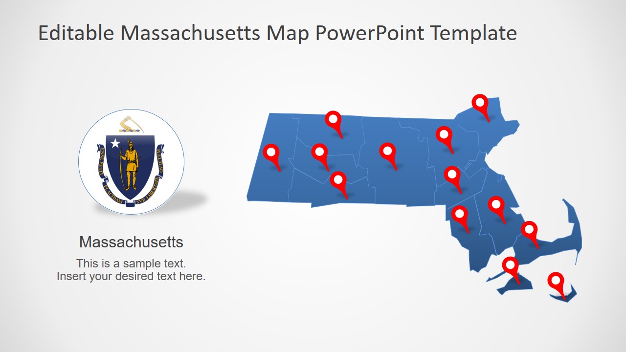
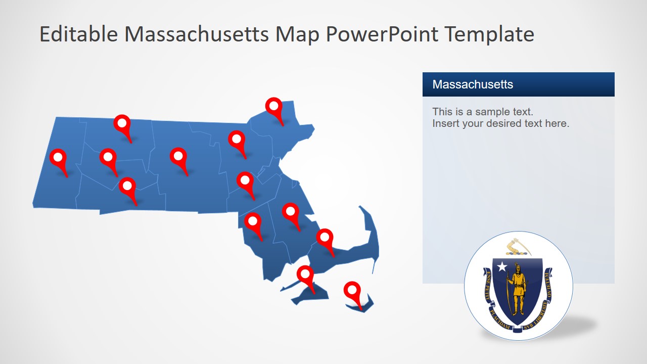
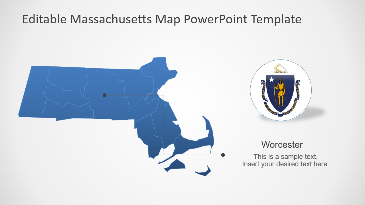
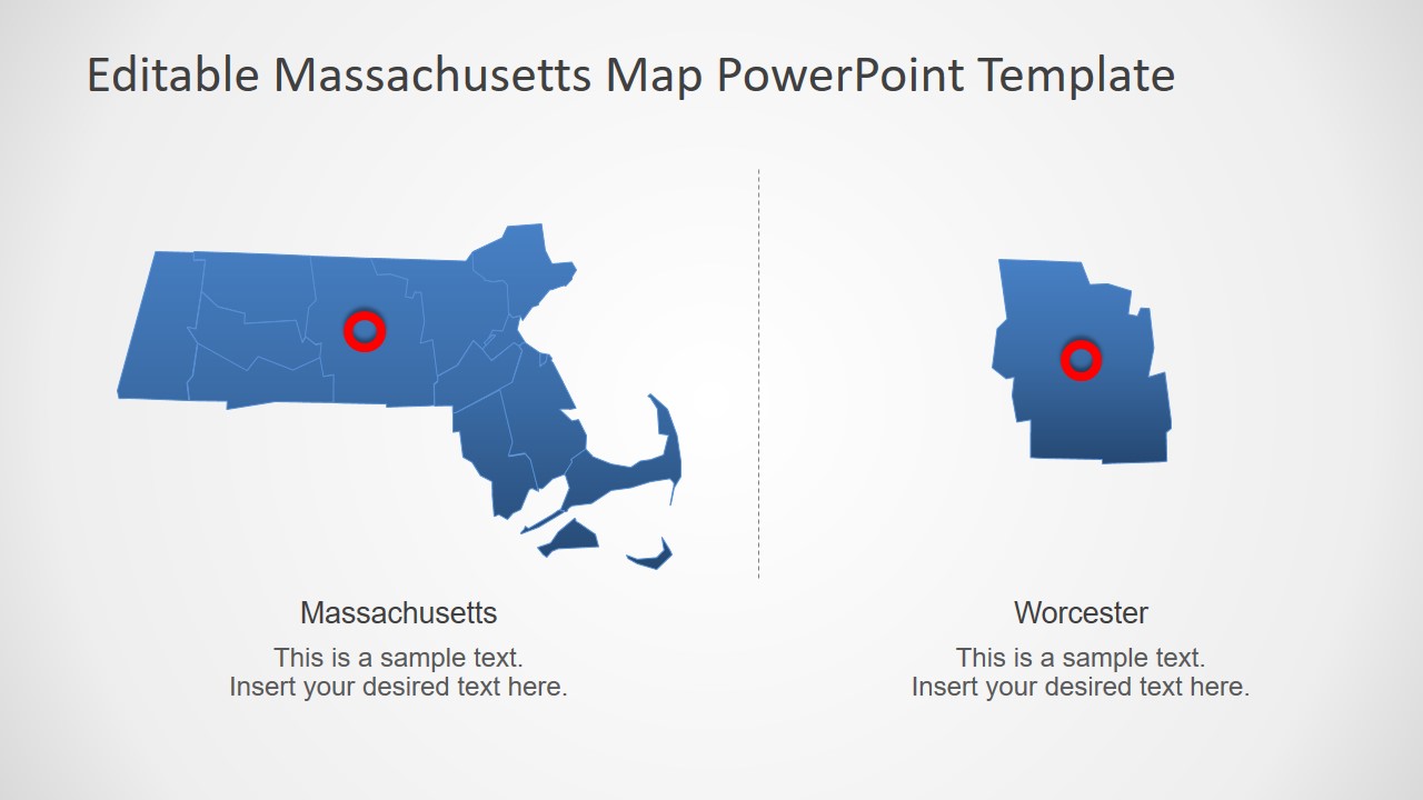
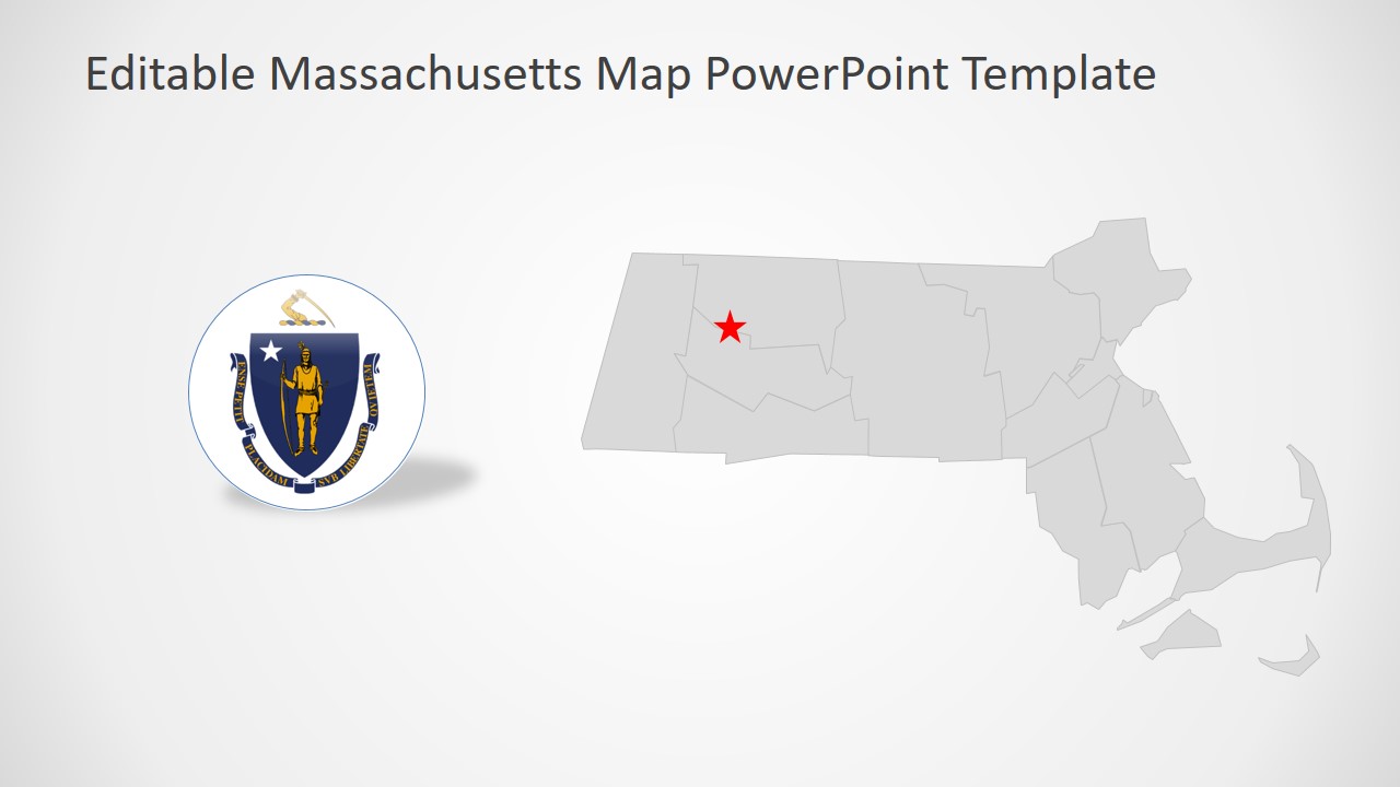
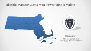
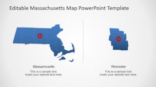
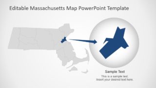
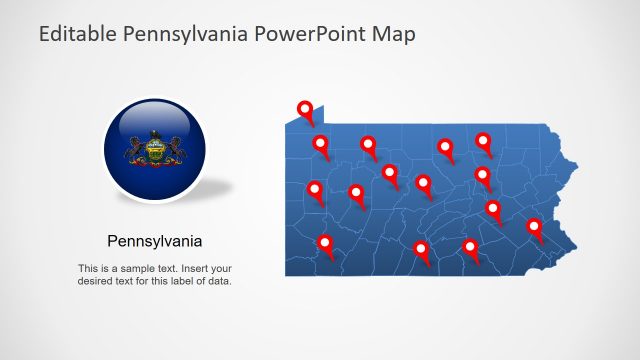
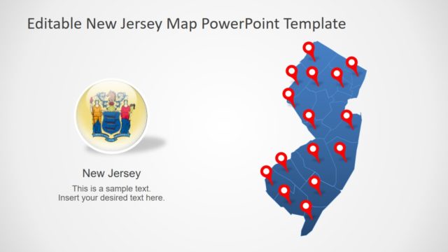
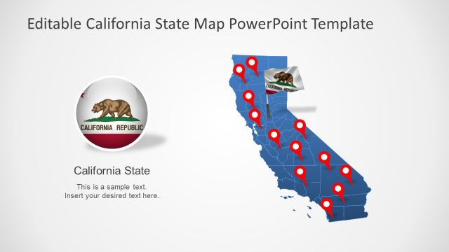
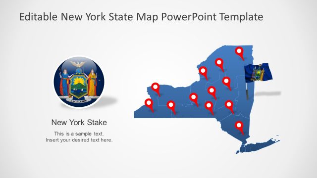
The Massachusetts State PowerPoint Map is a professional slide deck for geographic and demographic presentation of USA state. SlideModel content catalog contains several state-map templates of the United States of America. The template is an addition to map family of SlideModel, offering creative outline design marking territories of each county. This map of Massachusetts shows independent editable segments of counties together as a geographic map. These maps are multi-purpose PowerPoint layouts to deliver impressive business, economic, demographic, and statistical information about the USA.
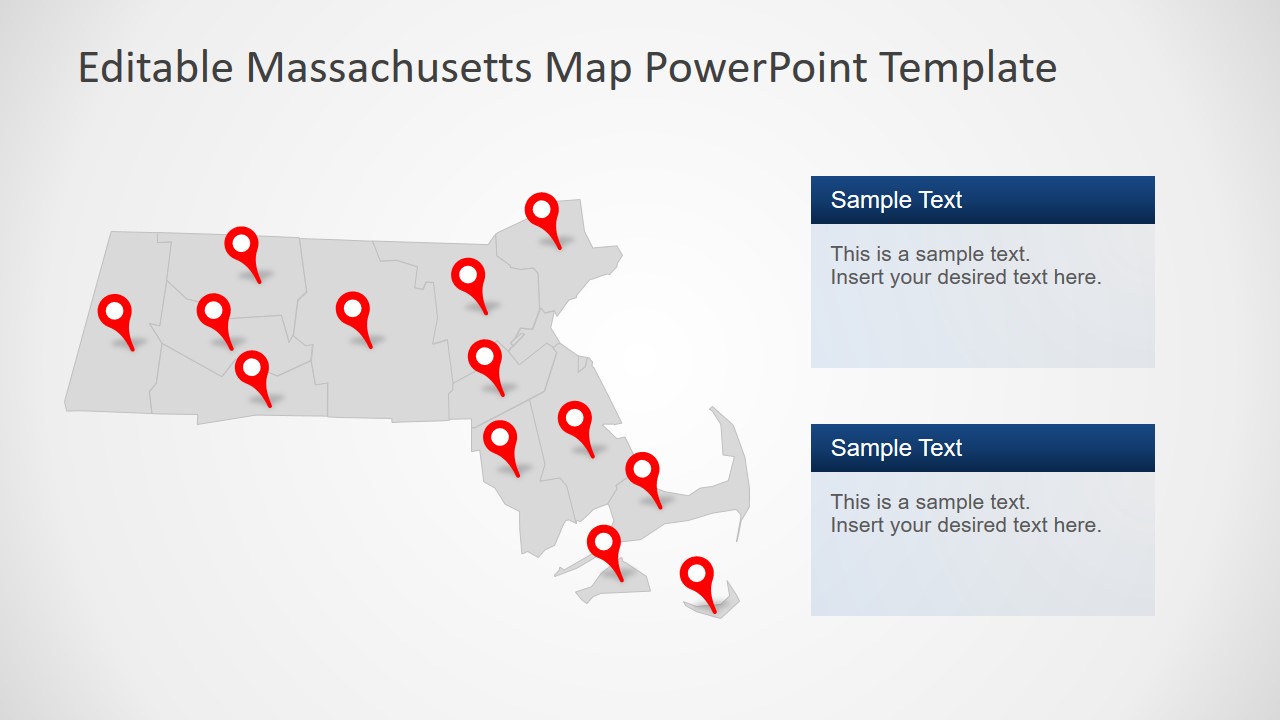
These maps are silhouette segments in blue and gray color initially. But users can change the color of complete map or individual counties according to presentation requirements. For example, using multiple shades of different counties for demographic statistic presentations. Similarly, the editable map template is suitable for rising pollution presentations. Because it can help demonstrate highly affected areas of Massachusetts by applying different color options. Hence, simple color customization could have major impact of presentation audience to understand urgency of environmental protection.
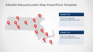
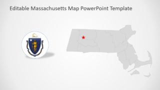
The Massachusetts State PowerPoint Map includes 7 slides for a different version of outline maps. These versions include slides that highlight counties and administrative capitals. Moreover, the template includes clipart icons such as flag and different location pins markers. These icons will complement a silhouette map template for marking multiple counties for statistical chart representation.
