New York State PowerPoint Map Template
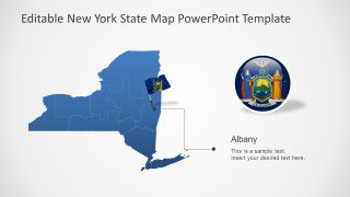
The New York State PowerPoint Map Template is an editable layout for geographic presentation concepts. New York is the northeastern State known for its most populous New York City. It is also famous for Central Park, Empire State Building, Brooklyn Bridge, and Times Square. The State shares borders with Vermont, Massachusetts, Connecticut, New Jersey, and Pennsylvania in the USA and Province of Quebec and Ontario, Canada.
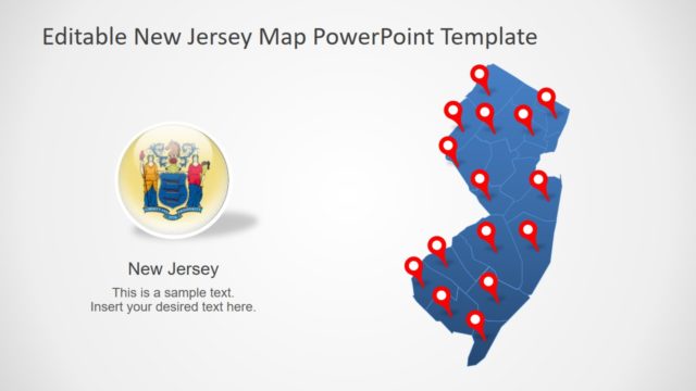
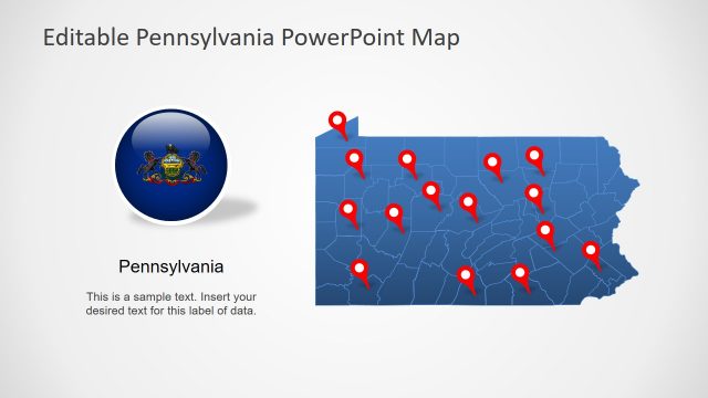
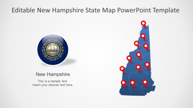
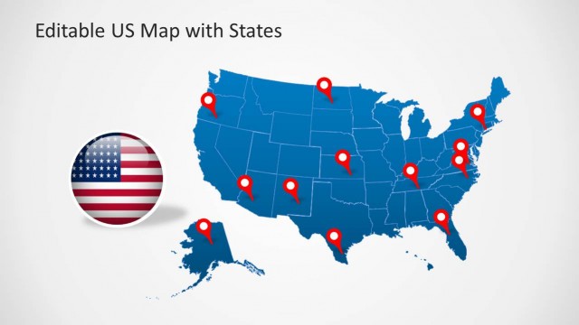
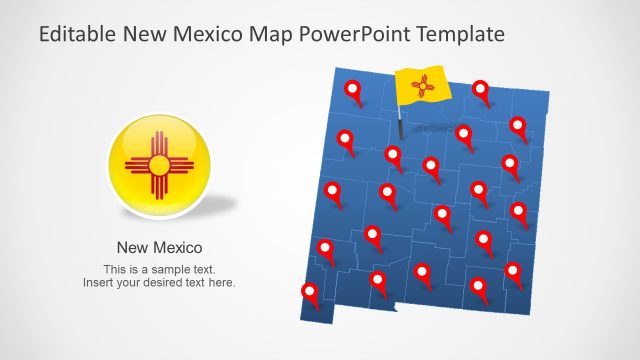
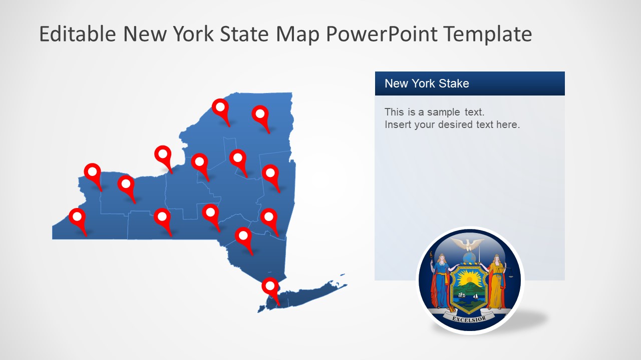
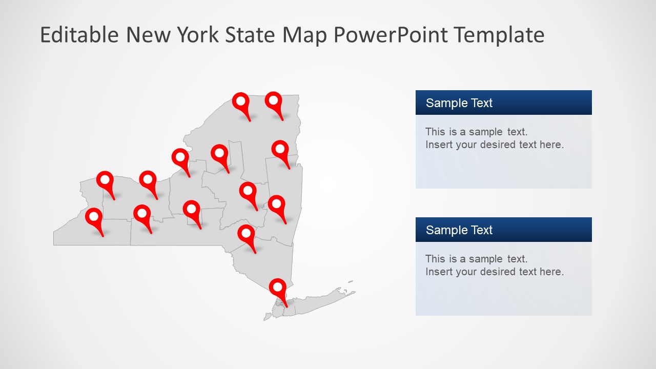
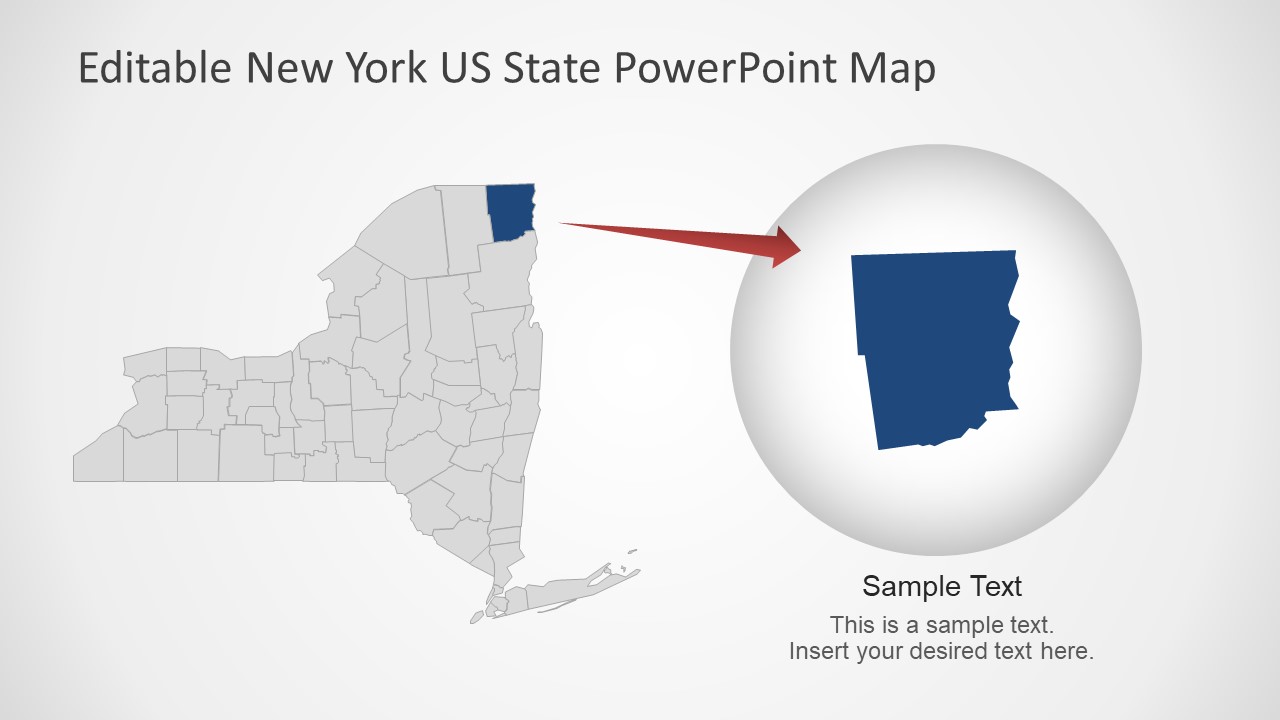
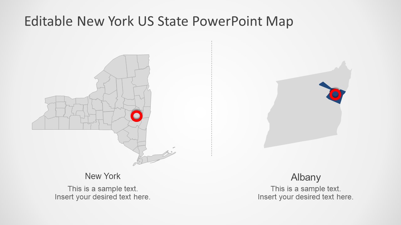
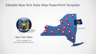
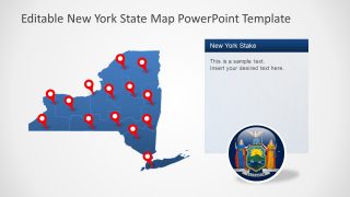
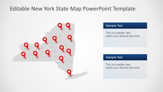
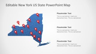
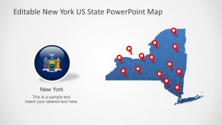
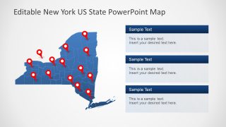
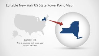
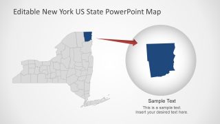
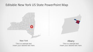
The PowerPoint template have 14 slides of creative map layouts containing editable segments of each county. These maps also include location pin markers and flag badge for a visual representation of the geographic region. The PowerPoint shapes such as circular flag button and flag on pole will help represent New York State on national and international forums. For example, highlighting business opportunities, target consumer market, tourist spots, and more. The PowerPoint presentation of New York map will assist users to effectively deliver a variety of professional or educational topics. This New York PowerPoint map shows county sections outlined for purpose of labeling capital cities and major cities.
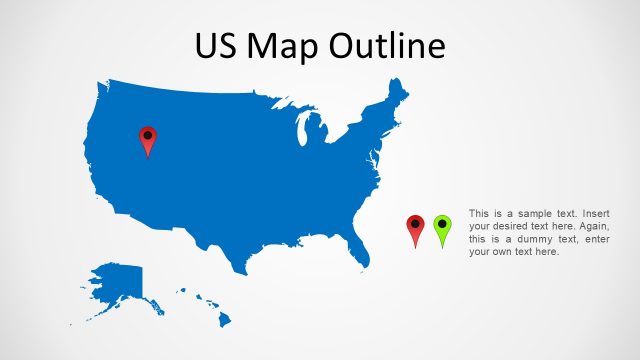
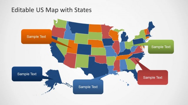
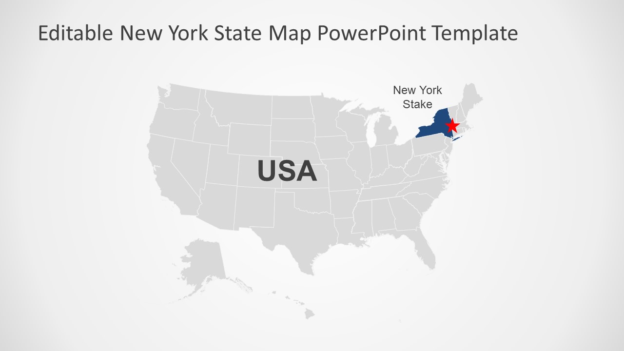
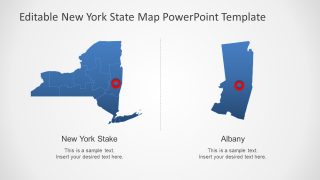
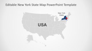
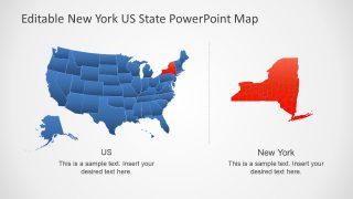
The New York State PowerPoint Map Template contains 14 editable silhouette maps with additional clipart incons and text placeholders. These 14 template layouts are available in blue and gray editable shapes of counties. The editable county shapes are bundled together to create a complete map of New York State. Moreover, there are three slides that display editable map of USA and highlight New York State through color fill change. The users can easily edit these PowerPoint maps by changing colors of counties or states. In this way, the professionals can create a statistical analysis presentation by color-coding counties based on data.
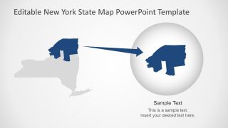
The New York State PowerPoint further includes 6 slides highlighting counties. These slides display a zoom-in style version of counties within New York State and NY-State with USA map. The Highlighted county or State Slide will assist users to focus on specific geographic regions during presentation.


You must be logged in to download this file.
DOWNLOAD- Category
- Maps
- Rating

 Loading...
- Size
- 16x94x3
- Item ID
- 7845-01
- Colors
Subscribe today and get immediate
access to download our PowerPoint templates.