Map with GPS Icons PowerPoint Template
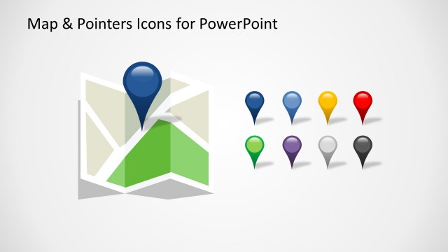
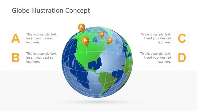
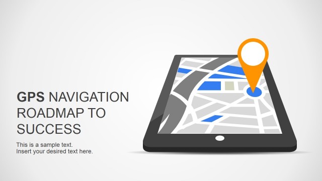
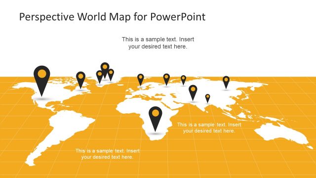
The Map with GPS Icons PowerPoint Template from SlideModel is a professionally designed slide show model that can be used in various scenarios. The template features a graphic depicting a generic city map as a background beneath a series of authentic GPS world markers. It is perfect for use in school lectures and classes on geography or history or in seminar presentations that are tasked with exploring avenues of business expansion.
Often the right graphic can mean the difference between a good PowerPoint presentation and a bad one. In many presentations, a good generic map is just what you need. However, many presenters opt to use a stock image or photo of a map, which is then stretched or cropped beyond belief and can confuse – or, worse – turn their audience off completely. This professionally designed PowerPoint template includes high-quality clip art map images that your audience will find attractive and interesting.
You could use the Map with GPS Icons PowerPoint Template in many scenarios and presentation situations. For example in:
- a geography lesson, to demonstrate the use of world markers with maps
- a seminar for small businesses, indicating how to optimize sales
- a marketing demonstration
- the planning stages of a new product release by a business
- a lecture aimed at increasing road safety
- a presentation about town development
- a Google Maps PPT presentation
- a seminar for the neighbourhood watch
All of the professionally designed templates that are made by SlideModel for PowerPoint are created by using high quality clip art icons and graphics that are 100% editable in all PowerPoint versions. The presenter can edit or customise any part of this GPS map template, personalising the lecture for any situation, audience or purpose. Change anything from the color to the size of clip art graphics like working with any PowerPoint Shape.
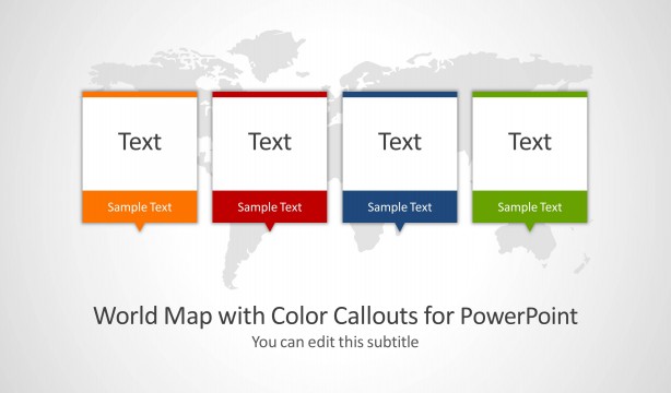
Alternatively, you can download other map templates for PowerPoint & Google Slides presentations. Our 100% editable maps for PowerPoint presentations can help you to present geographical information in a presentation slide.


