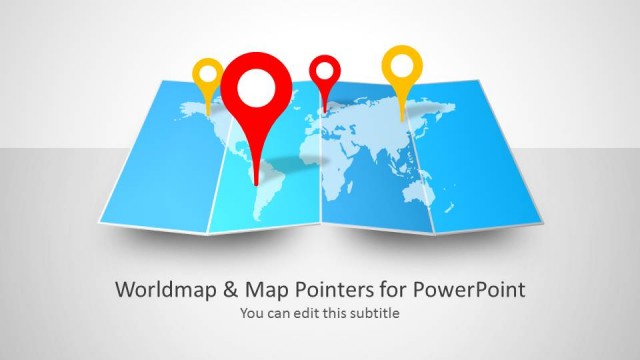
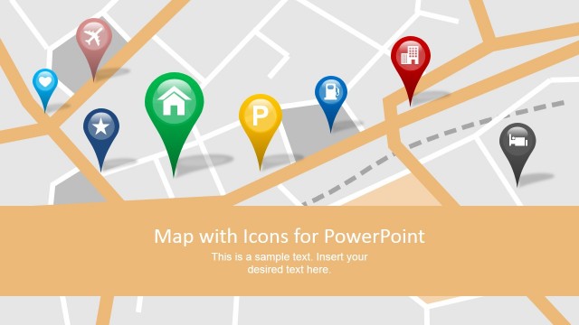
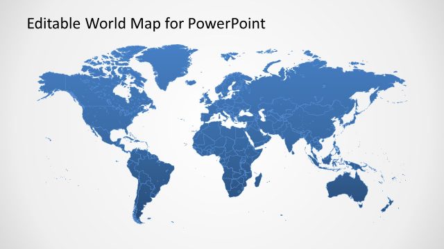
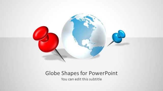
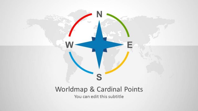
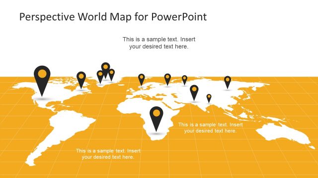
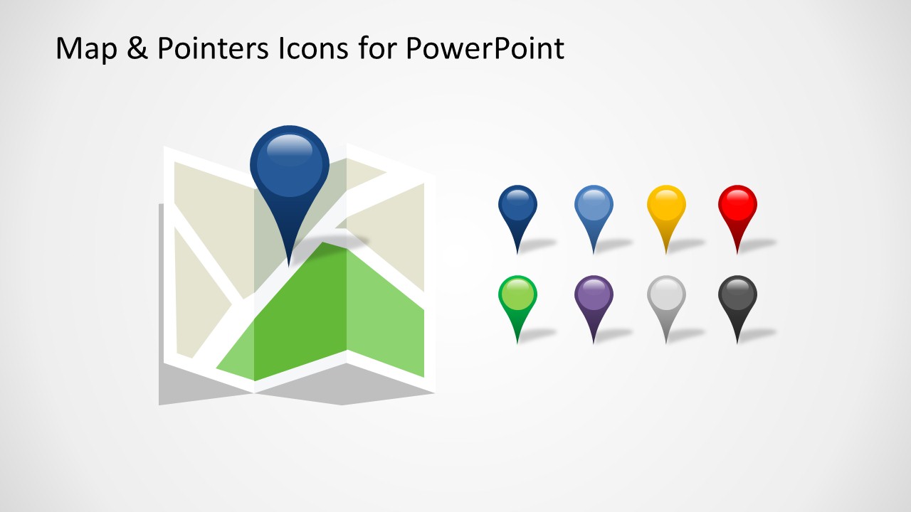
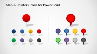
Map & Pointers Icons for PowerPoint is an editable template for Microsoft PowerPoint presentations that you can download and use to represent a geolocation in a map. You can use the map pointers and markers to tag world maps or any other map requiring to represent a map position.
The benefit of using this maps template for PowerPoint with map icons is that you can easily edit the shapes and resize without losing image quality since it uses PowerPoint shapes to represent the objects.
What’s inside this template
Example presentation scenarios
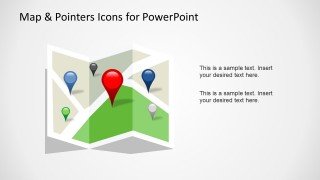
- A sales manager can use the folded map layout and colored pins to show priority accounts, regional coverage, or market entry locations during a territory review.
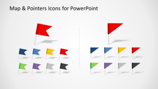
- An operations presenter can use the flag marker slide to distinguish warehouses, service centers, and delivery checkpoints in a route or coverage discussion.
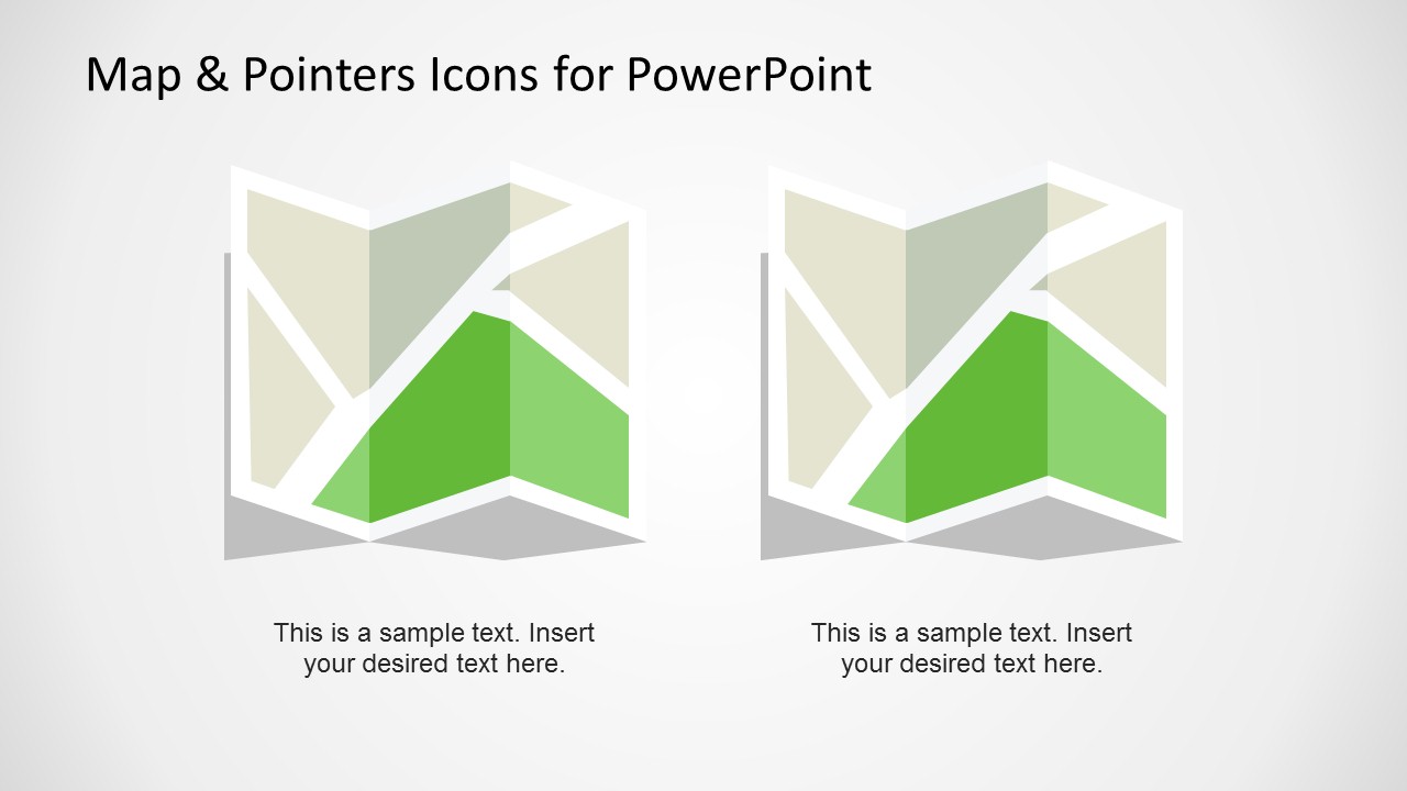
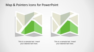
- A consultant can use the two-column map slide to compare two candidate locations, regions, or rollout areas with short explanatory captions.
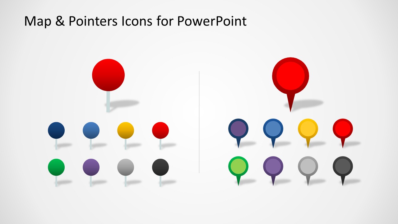
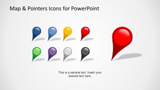
- A marketing team can use the icon collection slides to assign color-coded markers to campaigns, events, or customer clusters before placing them on a map.
Features
- 100% editable presentation template
- Compatible with Microsoft PowerPoint and Google Slides
- 16:9 aspect ratio slides
- Scalable vector shapes, icons and illustrations
- AI-Ready for Microsoft Copilot and Claude
- Instant access and download
Frequently asked questions
Q: How should a presenter use the map pointer slides without overloading the audience?
A: Assign each marker color to one clear meaning before presenting, such as customers, offices, risks, or launch sites. Use the folded map slides for the actual story and the icon collection slides as a source for consistent symbols. Keep captions short so the audience reads the location pattern first.
Q: Who is this template best suited for in a business presentation?
A: This template fits presenters who need to explain where activity is happening rather than analyze numeric performance. Sales teams, operations managers, consultants, and marketing planners can use the pins and flags to show territory focus, site selection, campaign locations, or service coverage in a simple visual format.
Q: Why do the pin and flag metaphors help communicate location-based messages?
A: Pins and flags are familiar location metaphors, so the audience understands the visual code quickly. The template separates marker styles into pin, dot, and flag families, which helps presenters reserve each shape for a different type of place, priority, or status instead of relying only on color.



Editable Map & Pointers Icons for PowerPoint
6-slide presentation template with editable map pointers, location pins, and flag markers
Editable Map & Pointers Icons for PowerPoint is a 6-slide presentation template for marking places on map visuals. It includes folded map layouts, color-coded location pins, flag markers, and dot markers for geography, sales, and operations presenters. The icons are editable vector PowerPoint shapes for Microsoft PowerPoint and Google Slides.
- Category
- Shapes
- Rating


 Loading...
- Aspect ratio
- 16:9
- Item ID
- 6534-01
- Colors
 Microsoft PowerPoint
  Microsoft Copilot
  Claude for PowerPoint
 Other formats supported
Subscribe today and get immediate
access to download our PowerPoint templates.