Editable Scotland PowerPoint Map
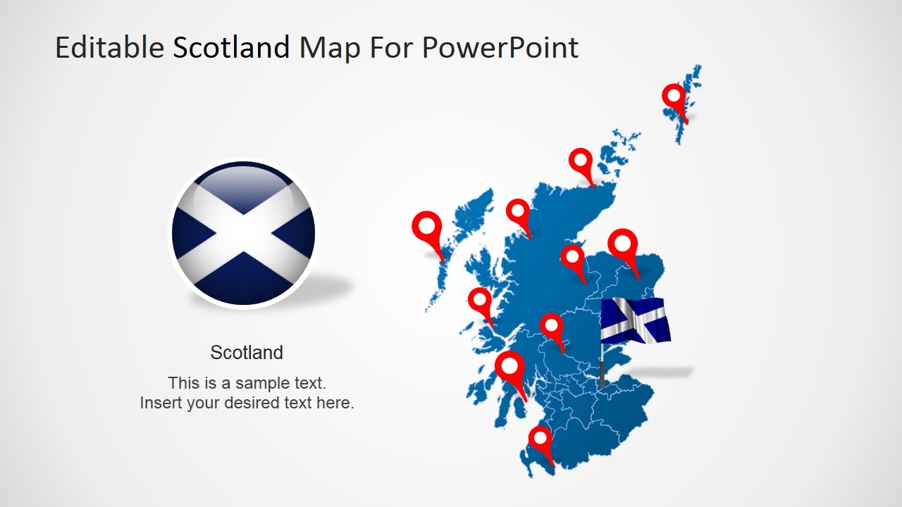
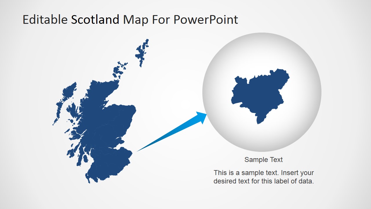
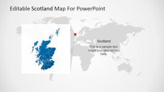
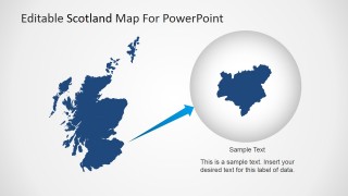
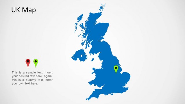
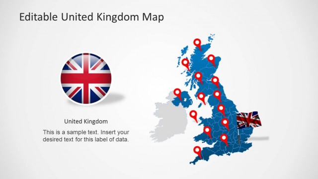
The Editable Scotland PowerPoint Map is your roadmap to this great country in the United Kingdom. Situated in Europe and covering the northern part of Great Britain, Scotland is a progressive country and is home to the popular sport, golf, the whiskey, and the bagpipe. Scotland shares its territory with England, Wales, and Northern Ireland—the four countries make up what we know today as the United Kingdom.
The country is made up of 800 small islands. But, in spite of its small size, Scotland made a huge impact on the world. It was once regarded as a center of technology and innovation. Today, the country boasts a thriving tourism industry—about 10 percent of the country are inhabited; the rest are unoccupied, teeming with wildlife, spectacular landscapes, and natural resources.
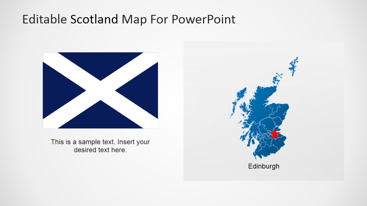
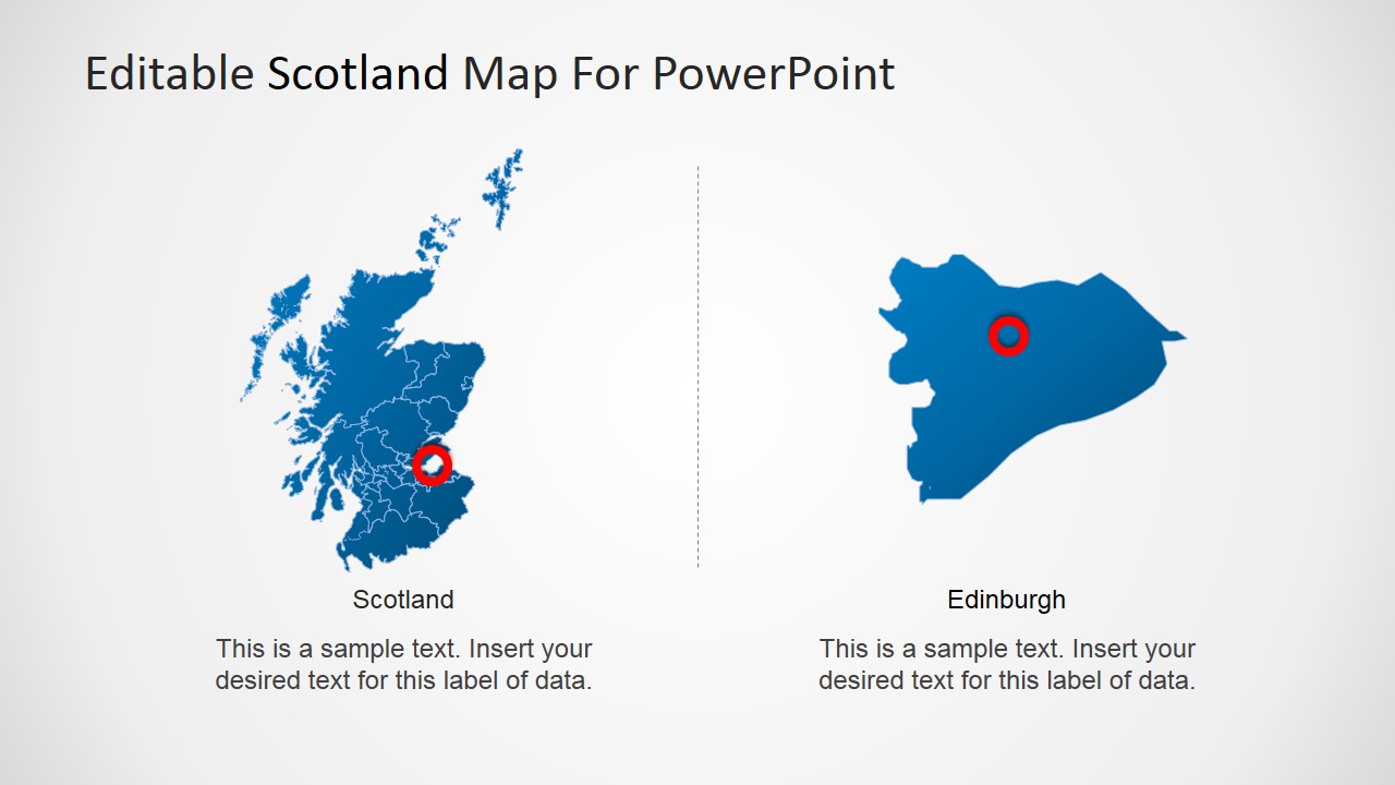
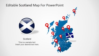
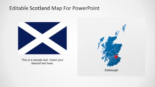
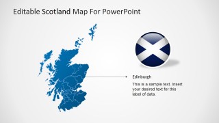
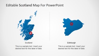
Scotland has six major cities. Its capital is Edinburgh, although the largest city is Glasgow. The remaining cities are Aberdeen, Dundee, Inverness, and Stirling. The country’s government is a constitutional monarchy, which means that its current head of state is Queen Elizabeth II.
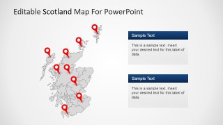
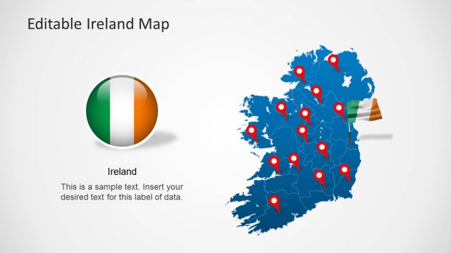
Editable Scotland PowerPoint Map is perfect for illustrations, reports, political outlines, and other business documents. This PowerPoint map has a total of eight slides, which are neatly designed and completely editable. Use this template to enhance your presentations and impress your clients. Each slide can be used separately. The texts can be edited, too, to put meaning into every presentation.
