Editable Mauritius PowerPoint Map
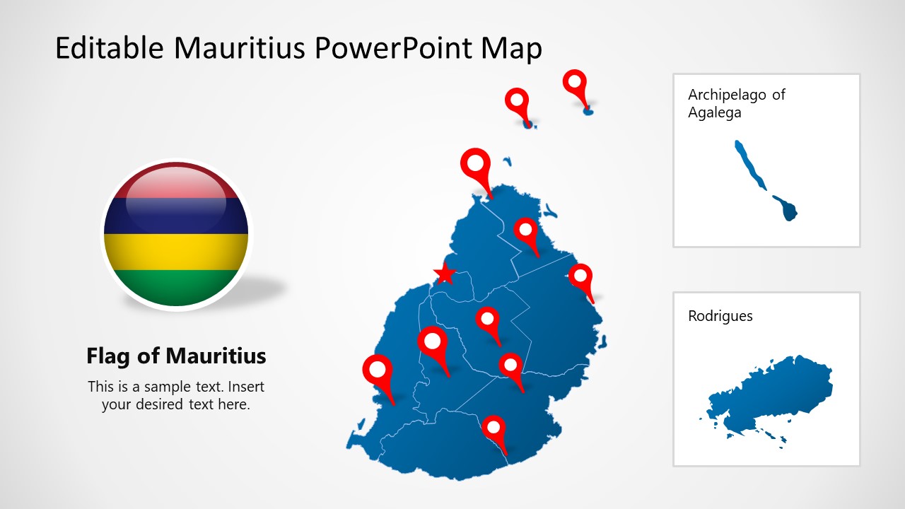
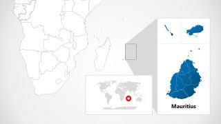
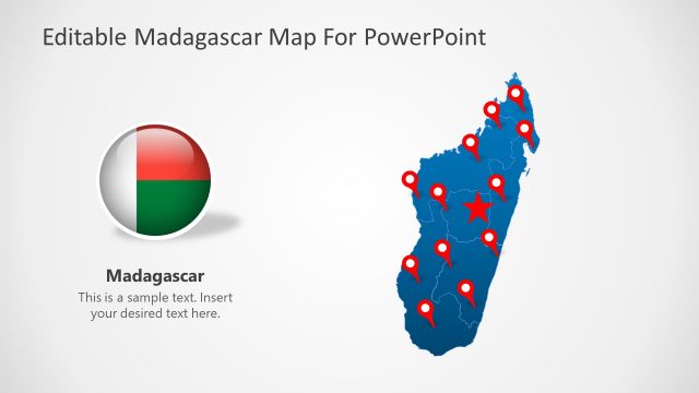
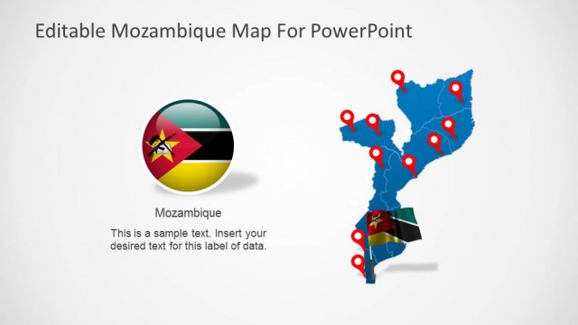
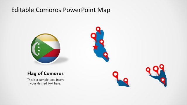
Use the Editable Mauritius PowerPoint Map for presenting the features of the East African Country, Mauritius. Mauritius includes the main Island(Mauritius) and three others, i.e., Rodrigues, Agalega, St. Brandon. This country is known for its unique flora&fuana and botanical gardens. To demonstrate the distribution of tourism attractions and various ethnic groups in these Islands, presenters can customize this map template. The editable text boxes, symbols, and colored or grey maps enable the users to prepare interactive presentations for their audience.
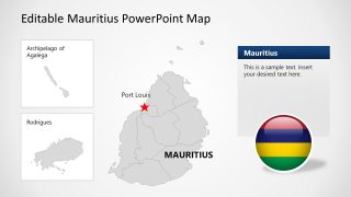
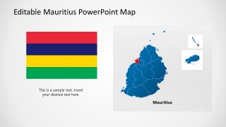
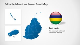
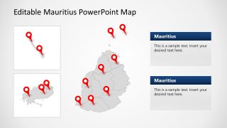
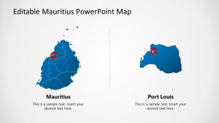
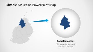
The human-heart-shaped editable map of Mauritius is shown on all the slides accompanied by the maps of other companion Islands. Four slides of this template display the colored map of Mauritius cut down in different shapes. The star-shaped tag and location pins on various map regions can be moved and set according to the discussed scenario in the presentation. There are editable text areas to mention the details of relevant points. Also, two slides in this template discuss the pin-point location of Port Louis, which is the capital city. Presenters can effectively discuss the importance of this city for being a trade and manufacturing center of the country. Further, another slide is designed to highlight the region of Pamplemousses. This is a district of Mauritius known as the botanical garden. Tourist guides and planners can utilize this slide to focus on the features of this district.
The markers and locators used in the Editable Mauritius PowerPoint Map can be arranged accordingly. The maps’ grey and blue color variations available in this template can be used alternatively. Overall, this template is attractive and ready-to-use for the presenters. However, users can edit each component and design it according to their requirements. For instance, the colors of pointers, text boxes, labels, etc., can be changed. Users can add or remove any item using PowerPoint, Keynote, or Google Slides.
