Slide 3 of 8 from Editable Mauritius PowerPoint Map
Mauritius Flag PPT Slide
Editable Mauritius PowerPoint Map Slide
- Map
- Country Map
- Context Slide
- 16:9
- 100% Editable
What’s on This Slide
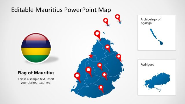
The slide features a layout with a flag of Mauritius on the left and a map of Mauritius on the right. The flag is vertically aligned with horizontal stripes in red, blue, yellow, and green. The map displays the island's shape with a red star marking a specific location. Below the map, there is a text placeholder for additional information, centrally aligned. The background is light, enhancing the visibility of the flag and map. The overall composition balances the two main visual elements, creating a clear focal point.
How to Use It
This layout serves to present geographical information about Mauritius, making it suitable for travel, education, or business contexts. It can be used to introduce the country, highlight specific locations, or provide context in a presentation sequence. This slide fits well after introductory content and before detailed discussions or analyses related to Mauritius. It is effective for showcasing the flag alongside the map to emphasize national identity.
Text Placeholders & Capacity
Keep your copy within these limits so it fits without resizing. Text slots can hold concise information, roughly 5-10 words each.
| Placeholder | Count | Max characters (approx.) |
|---|---|---|
| Slide title | 1 | 30 |
| Body paragraph | 1 | 60 |
Slide Keywords
Download unlimited PowerPoint templates, charts and graphics for your presentations with our annual plan.
DOWNLOADReturn to Editable Mauritius PowerPoint Map.