Slide 7 of 8 from Editable Mauritius PowerPoint Map
Port Louis and Mauritius Editable Map Slide
Editable Mauritius PowerPoint Map Slide
- Map
- Country Map
- Context Slide
- 16:9
- 100% Editable
What’s on This Slide
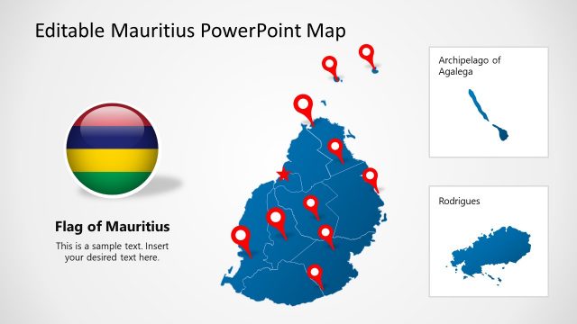
The layout features two blue map shapes, one representing Mauritius on the left and the other depicting Port Louis on the right. Each map has a red circle highlighting a specific location. Below each map, there are text placeholders aligned center for titles, labeled 'Mauritius' and 'Port Louis'. Additional text placeholders are present beneath each title for further details. The overall composition is balanced, with maps evenly spaced and a light background enhancing visibility.
How to Use It
This layout serves as a geographical representation, ideal for showcasing locations within Mauritius. It fits well in presentations discussing regional insights or tourism. The slide can be used to highlight key areas, making it suitable for business meetings or educational contexts. It is particularly effective when discussing local developments or demographic information, providing a clear visual reference for audiences.
Text Placeholders & Capacity
Keep your copy within these limits so it fits without resizing. Text slots can accommodate concise information, roughly 5-10 words each.
| Placeholder | Count | Max characters (approx.) |
|---|---|---|
| Item heading | 2 | 30 |
| Item body | 2 | 50 |
Slide Keywords
Download unlimited PowerPoint templates, charts and graphics for your presentations with our annual plan.
DOWNLOADReturn to Editable Mauritius PowerPoint Map.