Slide 8 of 8 from Editable Mauritius PowerPoint Map
Pamplemousses District Region Map
Editable Mauritius PowerPoint Map - Highlighted Region
- Map
- Country Map
- Context Slide
- 16:9
- 100% Editable
What’s on This Slide
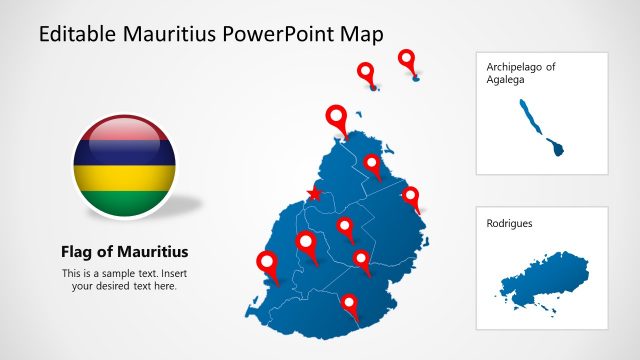
The slide features a map of Mauritius with a highlighted region in dark blue. The main map is positioned on the left side, showing the entire island in light gray. An arrow points from the main map to a circular inset on the right, which displays the highlighted region in dark blue against a white background. Below the inset, there is a text placeholder for the region name, 'Pamplemousses,' and another placeholder for additional text. The overall layout is clean, with a light background and clear visual hierarchy.
How to Use It
This layout serves to emphasize a specific geographic area within Mauritius, suitable for presentations on regional analysis or tourism. It fits well at the end of a map-focused presentation, summarizing key locations or features. This slide can be used in business contexts such as marketing campaigns, educational materials, or travel planning, where highlighting specific regions is essential for audience understanding.
Text Placeholders & Capacity
Keep your copy within these limits so it fits without resizing. Text slots can hold roughly 30 and 100 characters respectively.
| Placeholder | Count | Max characters (approx.) |
|---|---|---|
| Item heading | 1 | 30 |
| Item body | 1 | 100 |
Slide Keywords
Download unlimited PowerPoint templates, charts and graphics for your presentations with our annual plan.
DOWNLOADReturn to Editable Mauritius PowerPoint Map.