Slide 2 of 8 from Editable Mauritius PowerPoint Map
Editable Mauritius Map Presentation Template
Editable Mauritius PowerPoint Map Slide
- Map
- Country Map
- Context Slide
- 16:9
- 100% Editable
What’s on This Slide
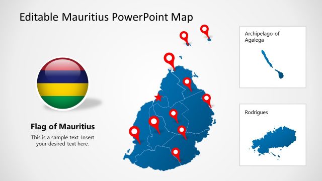
The layout features a central map of Mauritius with a red star marking Port Louis. Insets display the Archipelago of Agalega and Rodrigues in smaller maps at the top left and bottom left, respectively. A large text placeholder is positioned on the right side, labeled 'Mauritius,' with sample text below it. A circular flag icon is located at the bottom right. The background is light with a subtle gradient, emphasizing the map and text. The overall composition is balanced with clear visual hierarchy.
How to Use It
This layout serves as a geographic overview, suitable for presentations about Mauritius. It fits well after an introduction slide and can be used to discuss regional specifics or tourism. The inset maps provide context for locations like Port Louis and the surrounding islands. It is ideal for travel agencies, educational purposes, or business presentations focusing on Mauritius. The structure allows for easy customization of text and map details.
Text Placeholders & Capacity
Keep your copy within these limits so it fits without resizing. Text slots can accommodate concise information, roughly 15-20 words each.
| Placeholder | Count | Max characters (approx.) |
|---|---|---|
| Slide title | 1 | 30 |
| Item body | 1 | 100 |
Slide Keywords
Download unlimited PowerPoint templates, charts and graphics for your presentations with our annual plan.
DOWNLOADReturn to Editable Mauritius PowerPoint Map.