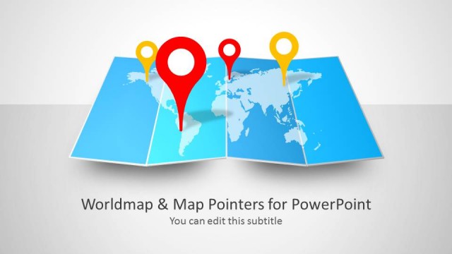
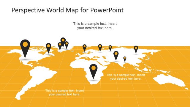
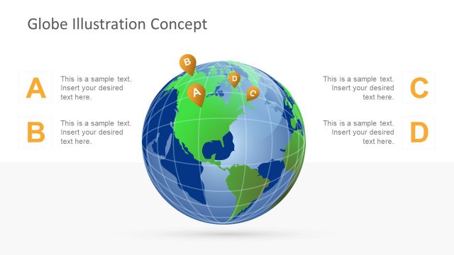
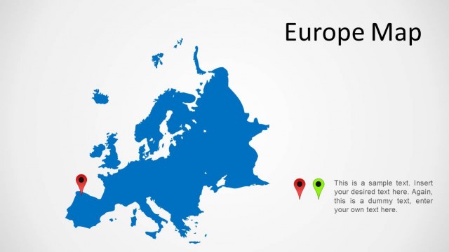
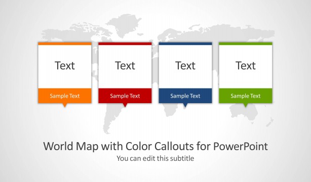
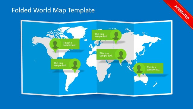
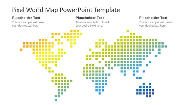
The Editable Worldmap for PowerPoint is a professional presentation which provides a 100% editable worldmap. The PowerPoint map is created as the composite of individual countries. The user can ungroup the world map and work individually with each country clipart.
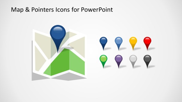
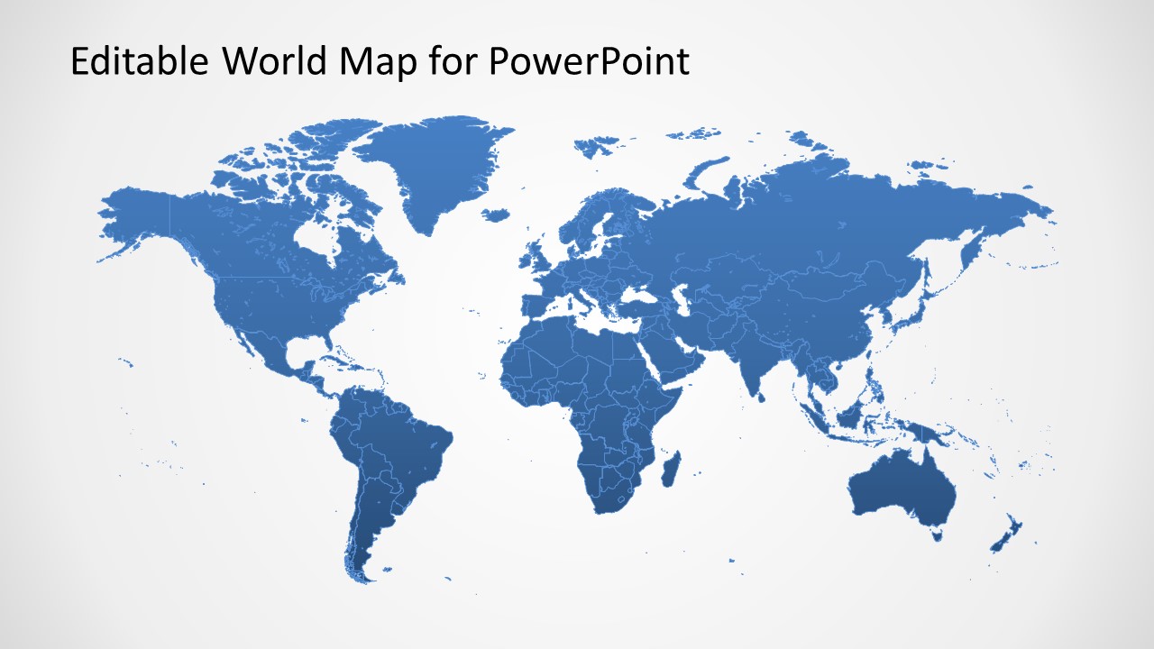
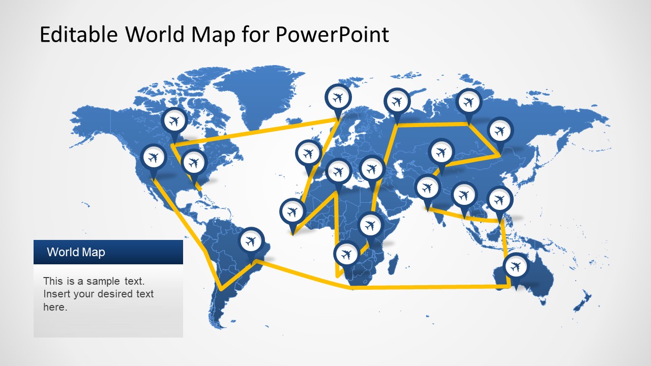
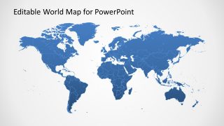
The presentation template provides a main worldmap colored with a blue gradient and several variations decorated with PowerPoint Icons.
What’s inside this template
Example presentation scenarios
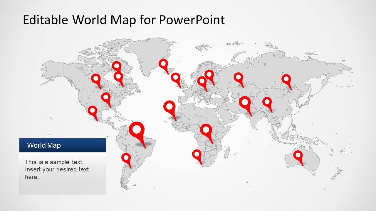
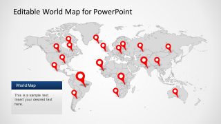
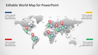
- A sales leader can use the red pin locator map to show active offices, customers, or regional opportunities during an international pipeline update.
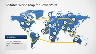
- A logistics manager can use the flight route map with airplane markers to explain distribution paths, travel routes, or service coverage across continents.
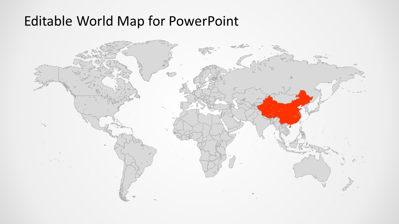
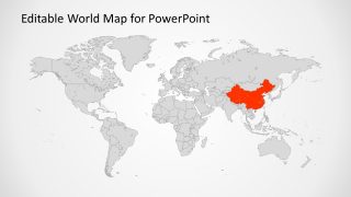
- A strategy consultant can use the country highlight slide to focus the discussion on a priority market while keeping the rest of the world as context.
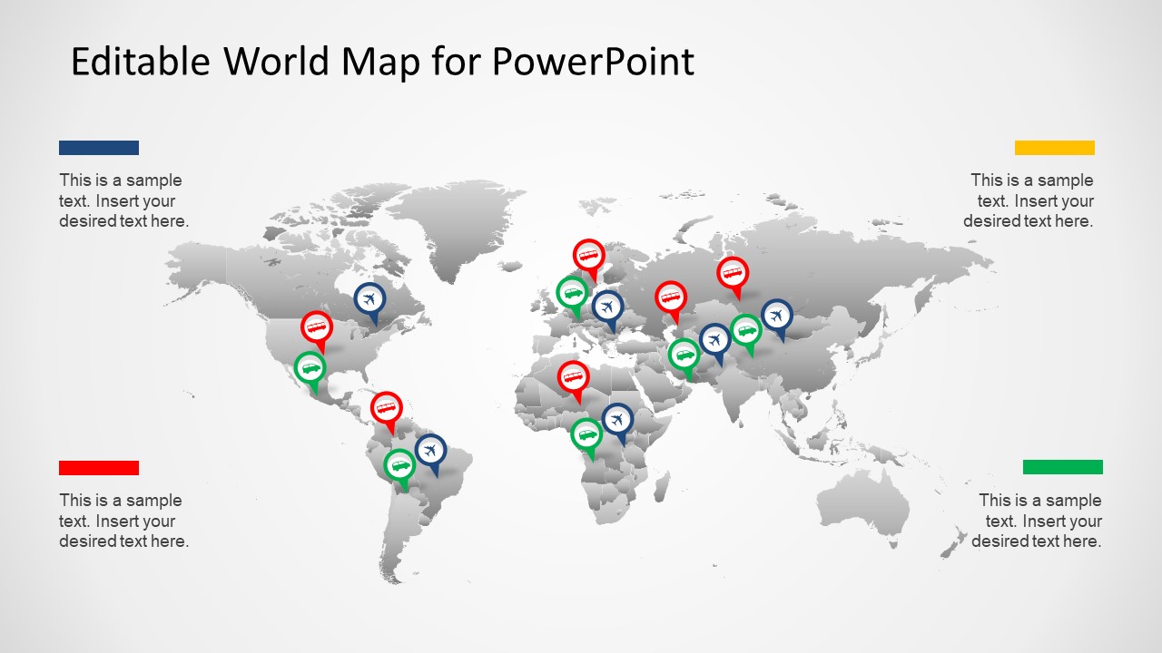
- An operations director can use the multicolor marker map and corner note blocks to compare regional status categories such as open items, completed actions, and priority locations.
Features
- 100% editable presentation template
- Compatible with Microsoft PowerPoint and Google Slides
- 16:9 aspect ratio slides
- Scalable vector shapes, icons and illustrations
- AI-Ready for Microsoft Copilot and Claude
- Instant access and download
Frequently asked questions
Q: How should a presenter structure a concise geographic update with these five map slides?
A: Start with the blue world map to establish the full geographic scope, then move to the layout that matches the main evidence: routes, pins, categories, or a highlighted country. Avoid showing every variation if it does not serve the message. A short map deck works best when each slide answers one location-based question.
Q: Who is this template best suited for in a business presentation?
A: This template fits presenters who need to make geography visible without building a map from scratch. Sales, operations, logistics, consulting, education, and nonprofit teams can show where work happens, how regions connect, or which country needs attention. It is strongest for overview-level communication, not detailed local mapping.
Q: Why do the muted gray maps and bright markers improve communication?
A: The design uses the world map as a quiet reference layer and gives visual weight to the message layer: pins, route lines, category markers, or the highlighted country. This prevents the audience from studying the whole map equally. The metaphor is simple: the background shows context, while the color shows action.
Editable Worldmap for PowerPoint
5-slide map presentation template for world coverage, route paths, location pins, and country highlights
Editable Worldmap for PowerPoint is a 5-slide map presentation template with a blue editable world map, flight route map, red pin locator map, category marker map, and single-country highlight layout. Built for business teams explaining geographic reach, locations, routes, or market focus, it is for Microsoft PowerPoint and Google Slides.
- Category
- Maps
- Rating


 Loading...
- Aspect ratio
- 16:9, 4:3
- Item ID
- 8349-01
- Colors
 Microsoft PowerPoint
  Microsoft Copilot
  Claude for PowerPoint
 Other formats supported
Subscribe today and get immediate
access to download our PowerPoint templates.