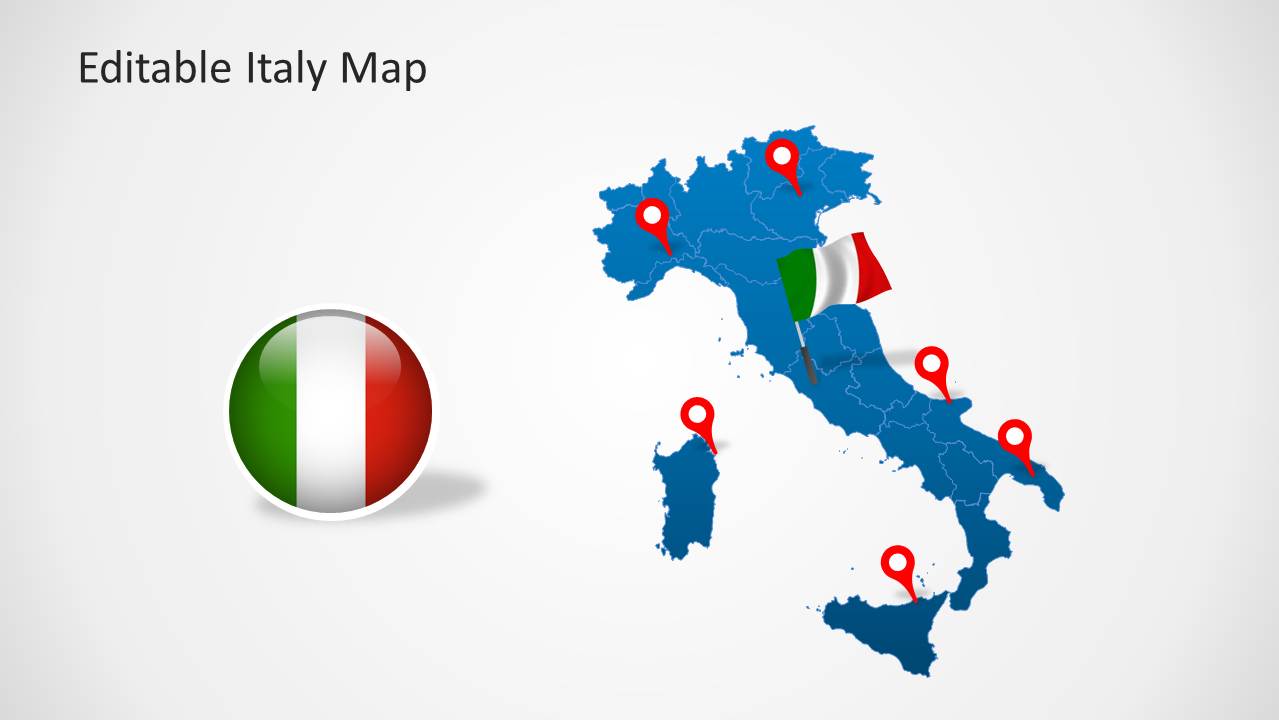
Editable Italy Map Template for PowerPoint is a presentation template containing a map of Italy with useful slide designs.
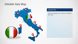
This template comes with editable map slides which can be customized to highlight all major areas of the country. You can also make use of the GPS markers and flag of Italy to highlight specific areas by placing these clipart items on a desired location on the map.
You can download editable maps for more countries from our catalogue of PowerPoint Map Templates.
What’s inside this template
Example presentation scenarios
- A sales leader can show regional coverage across Italy by placing office, distributor, or customer locations on the full map with red GPS pins.
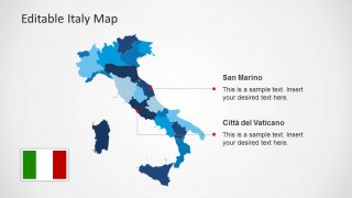
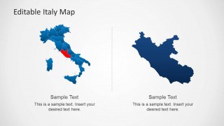
- A market analyst can brief executives on priority territories by using the regional color map and the slide with a single highlighted region.
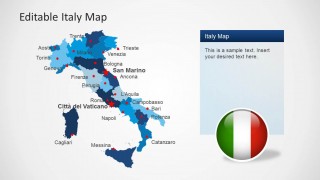
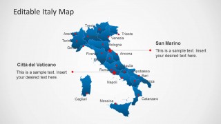
- An educator can introduce Italian geography with the labeled city map, city dots, and separate callouts for San Marino and Citta del Vaticano.
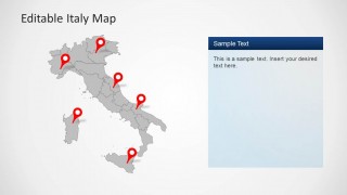
- A tourism planner can summarize destination clusters by combining the grayscale pinned map with the right-side notes panel for itinerary or service details.
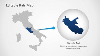
- A consultant can explain a site-selection recommendation by using the zoom-in regional slide to connect the full country context to a specific area.
Features
- 100% editable presentation template
- Compatible with Microsoft PowerPoint and Google Slides
- Scalable vector shapes, icons and illustrations
- AI-Ready for Microsoft Copilot and Claude
- Instant access and download
Frequently asked questions
Q: How should a presenter structure an Italy location briefing with this template?
A: Start with the full Italy map to orient the audience, then move to the labeled city map for recognizable reference points. Use the callout slides for places that need explanation, such as San Marino or Citta del Vaticano. Finish with the highlighted-region or zoom-in layout when the decision, project, or recommendation depends on one specific area.
Q: Who benefits most from using this Italy map deck?
A: This template fits presenters who need geographic clarity before discussing plans or decisions. Sales teams can show coverage, consultants can frame regional analysis, educators can teach country structure, and tourism planners can map destinations. The visible pins, city labels, and region highlights make it strongest when location is central to the message.
Q: Why do the pins, flags, and zoom-in layouts improve the message?
A: The design uses familiar map metaphors to reduce explanation time. Red pins act as location anchors, flag badges identify national context, and the magnifier-style slide shows how a country-level view connects to a focused region. This sequencing helps an audience understand both where something is and why that place matters.


Editable Italy Map Template for PowerPoint
8-slide PowerPoint map template with Italy regions, GPS pins, and flag badges
Editable Italy Map Template for PowerPoint is an 8-slide map presentation template for showing locations, regions, and national context in Italy. Visible layouts include a full Italy map with GPS pins, a labeled city map, San Marino and Vatican callouts, a regional color map, and a zoom-in regional highlight.


 Loading...
 Microsoft PowerPoint
  Microsoft Copilot
  Claude for PowerPoint
 Other formats supported
Subscribe today and get immediate
access to download our PowerPoint templates.