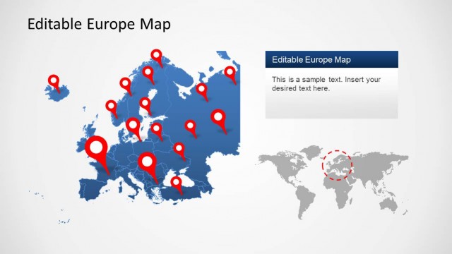
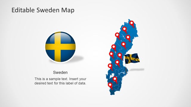
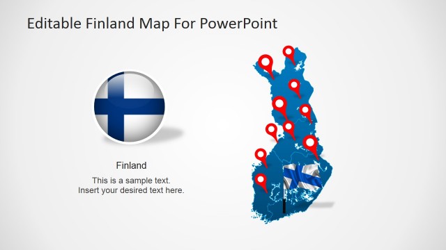
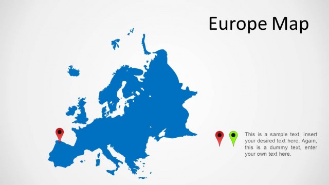
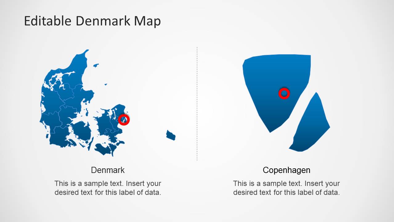
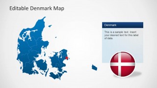
The Editable Denmark Map Template for PowerPoint has a unique design which provides a composite map which can not only be used to display the complete map of the country but also to highlight particular areas by dragging them out from the main map.
Like our collection of other Europe Map Templates for PowerPoint, this template contains sub-maps for all major areas of Denmark.
Also see our vast collection of Editable PowerPoint Maps.
What’s inside this template
Example presentation scenarios
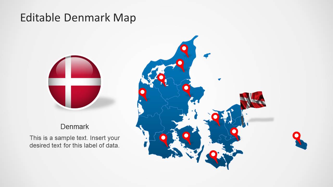
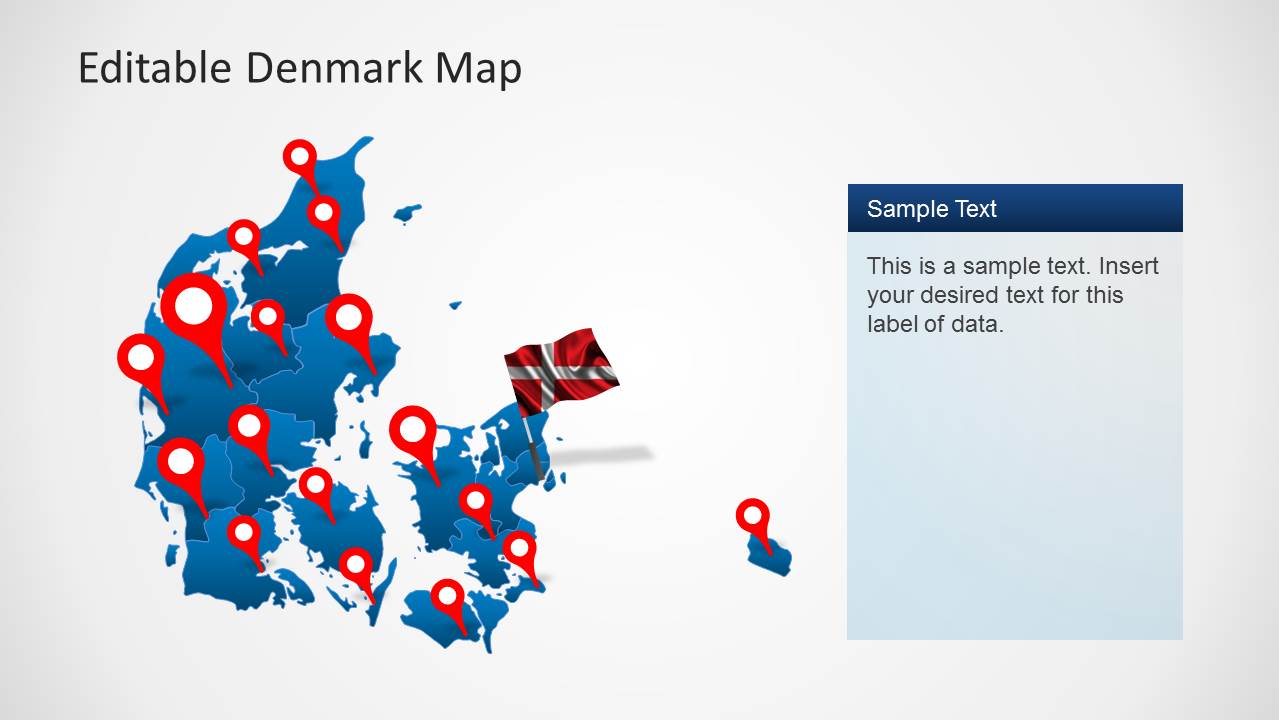
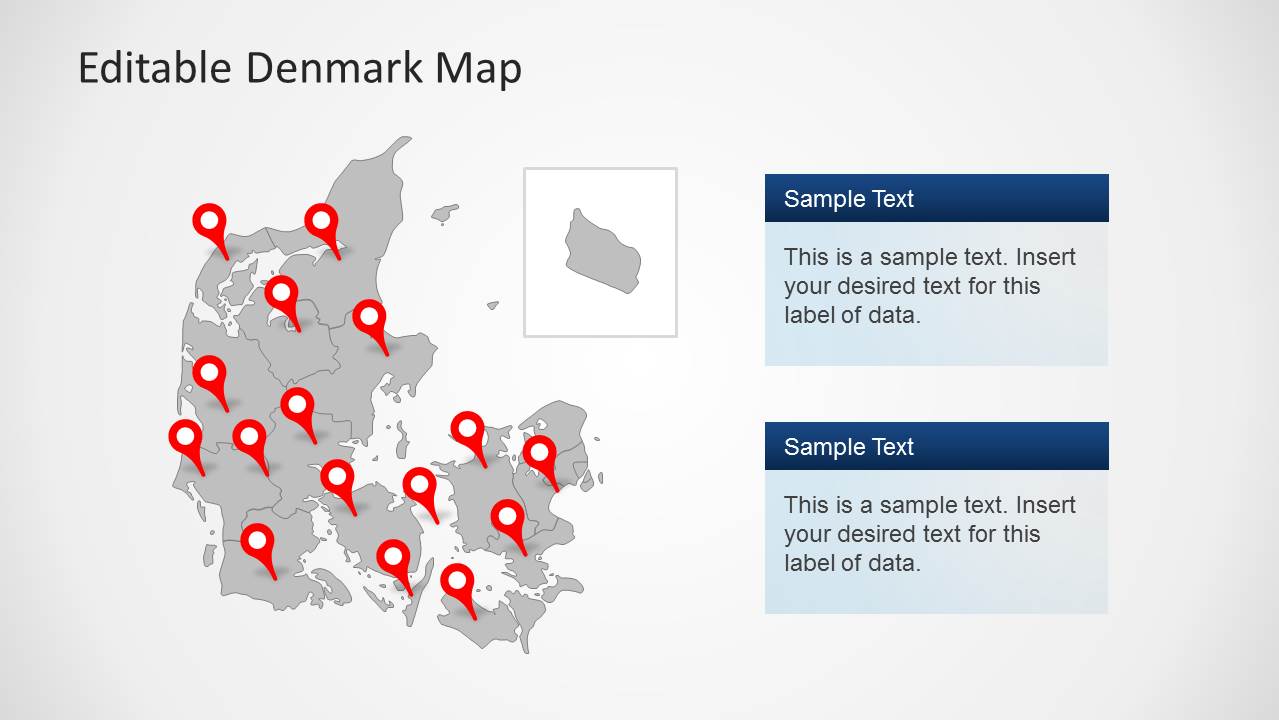
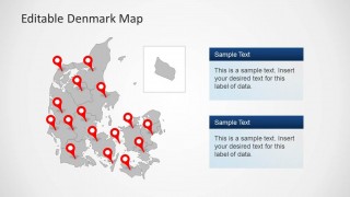
- A sales manager can present Denmark territory coverage by using the full-country pin map to show priority locations and the stacked text panels to explain regional responsibilities.
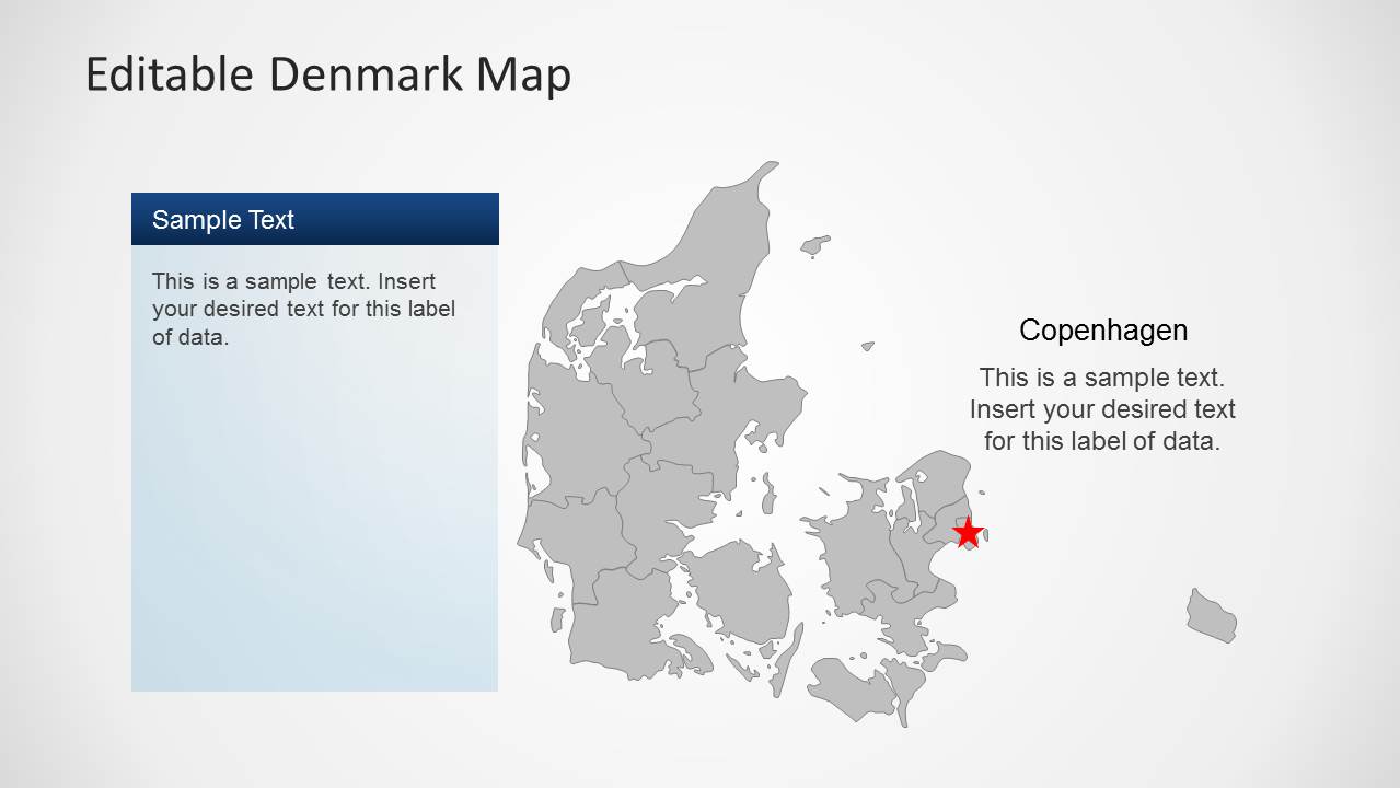
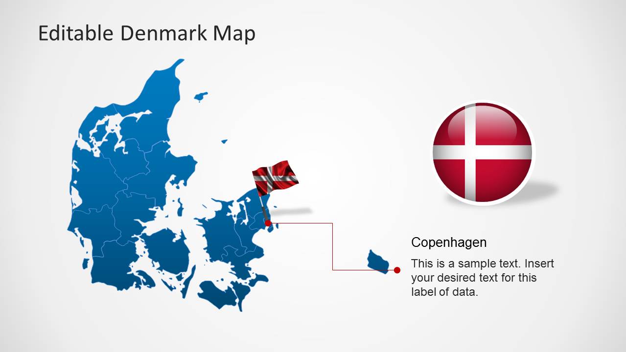
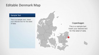
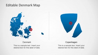
- A consultant can brief a client on market entry in Denmark by starting with the national map and then using the Copenhagen callout slide to focus attention on the capital area.
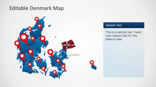
- A logistics planner can explain routes, hubs, or service points by replacing the red pins on the gray or blue Denmark maps with operational locations.
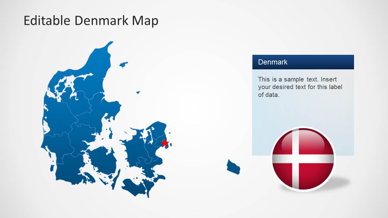
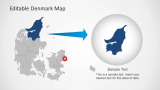
- An educator or public sector presenter can introduce Denmark geography by using the territory map, flag graphics, and regional zoom slide to connect the country view with local detail.
Features
- 100% editable presentation template
- Compatible with Microsoft PowerPoint and Google Slides
- Scalable vector shapes, icons and illustrations
- AI-Ready for Microsoft Copilot and Claude
- Instant access and download
Frequently asked questions
Q: How should a presenter organize a Denmark map story with this template?
A: Start with the full Denmark map to orient the audience, then move to a slide that marks the relevant cities or territories. Use the Copenhagen callout or regional zoom only after the audience understands the national context. Keep each map focused on one question, such as coverage, priority, or location choice.
Q: Who is this map template best suited for?
A: This template fits presenters who need to make Denmark geography part of a business or educational explanation. Sales teams, consultants, market researchers, logistics planners, and public sector speakers can use the territory outlines, red pins, and text callouts to connect geographic areas with plans, responsibilities, or observations.
Q: Why do the pins, flags, and zoomed regions improve the presentation?
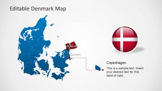
A: The red pins create fast visual anchors on the map, while the Denmark flag elements signal national context without adding paragraphs of explanation. The pulled-out regional view and circular zoom bubble act as geographic magnifiers, helping the presenter move from a broad country view to a specific area.

Editable Denmark Map Template for PowerPoint
8-slide PowerPoint map template for Denmark territories, Copenhagen callouts, and regional highlights
This 8-slide PowerPoint map template shows Denmark with editable territory shapes, red location markers, a Copenhagen callout, flag graphics, text panels, and pulled-out regional map details. It is designed for presenters who need to explain Denmark locations, territories, market coverage, or geographic context using reusable vector map layouts.

 Loading...
 Microsoft PowerPoint
  Microsoft Copilot
  Claude for PowerPoint
 Other formats supported
Subscribe today and get immediate
access to download our PowerPoint templates.