Editable DACH Map for PowerPoint
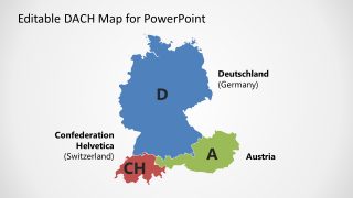
DACH is an acronym for country codes of three countries. Germany (D), Austria (A), and Switzerland (CH) collectively form a region of DACH for the economic growth of the region. It is one of the most advanced regions of the world with a powerful economy and high standards of living. The three neighboring countries are often named together when it comes to the commerce industry. The Editable DACH Map for PowerPoint is helpful when describing the economic partnership, news, and society.
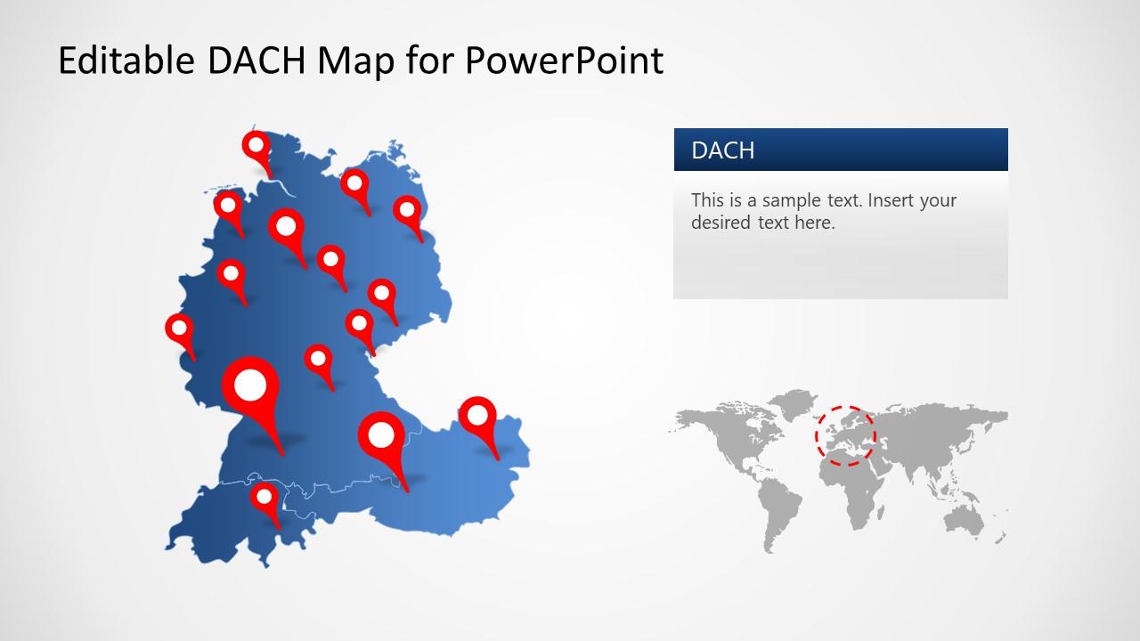
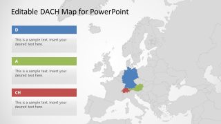
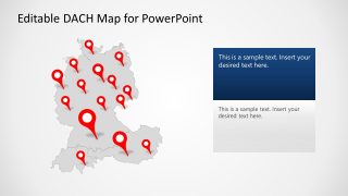
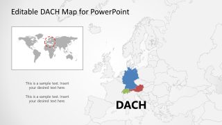
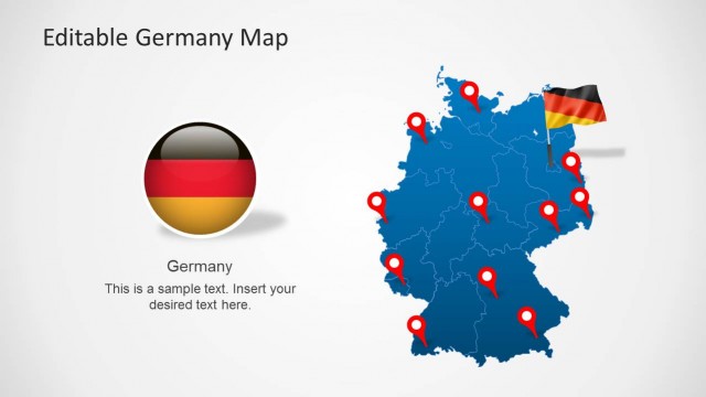
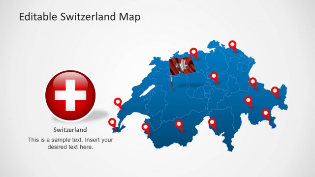
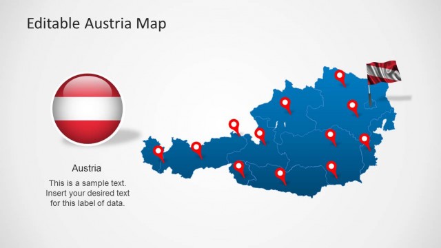
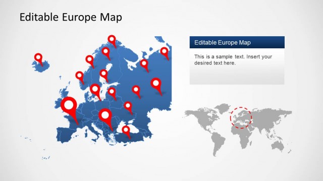
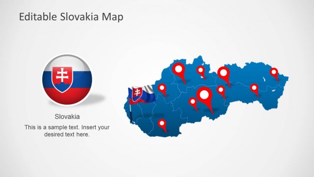
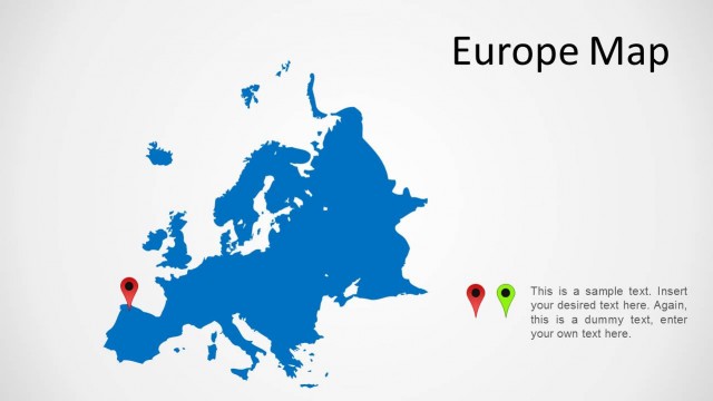
The DACH map template contains six layouts of high-quality maps. These editable maps highlight Germany, Austria, and Switzerland on the globe. Users can choose from the range of map PowerPoint templates to make their DACH presentation attractive to the audience. The geographical maps PowerPoint templates also include the location markers, text placeholders, and editable maps of Europe.
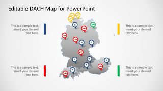
The Editable DACH Map for PowerPoint is a collection of professionally designed maps. You can customize and use the maps in political presentations such as foreign affairs. The presenter can explain the regional progress or opportunities for businesses by using colors to highlight them. The slides with color-coded country maps make it easy to discuss valuable information about the countries. On the other hand, the location marker slides can present the geographic location of franchises or business branches.
The DACH map PowerPoint template with location markers of buses, airplanes, and ships is for transport service presentations. Here, you can describe an elaborated plan of travel and shipments between Germany Austria, and Switzerland using geographical maps. The PowerPoint templates for DACH also include a world map and European map that focuses on DACH countries.
