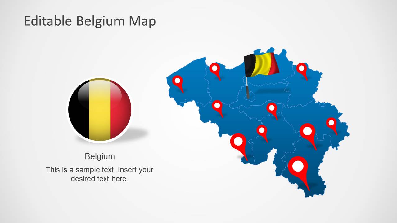
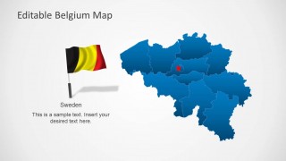
Download Belgium Map Template for PowerPoint. This is a highly customizable template with a complete map of Belgium, with each major region laid out as an editable object within the template.
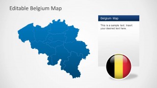
You can separately edit these individual regions to create a custom map for PowerPoint presentations. The regions available in editable form in this map template include West Flanders, East Flanders, Antwerp, Limburg, Flemish, Hainaut, Namur, Luxembourg, Liege and Walloon Brabant.
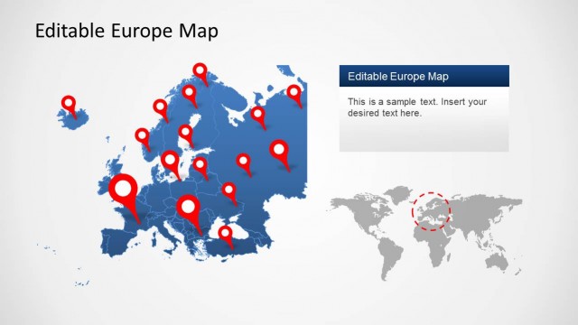
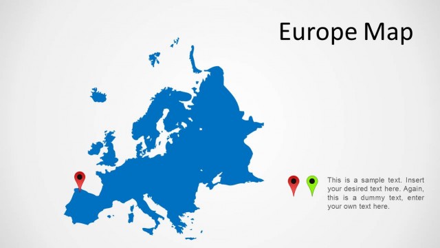
Also see our collection of Europe Map Templates for PowerPoint which provide PowerPoint Maps for different European countries.
What’s inside this template
Example presentation scenarios
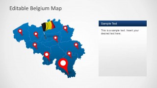
- A sales manager can present Belgian territory coverage to executives using the location pin map and regional boundary slides to show where teams, offices, or prospects are concentrated.
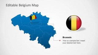
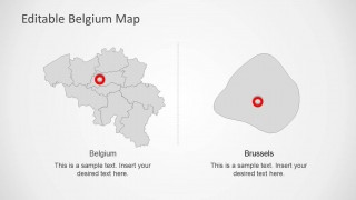
- A consultant can explain market entry options for Belgium using the full-country map, Brussels callout, and region zoom slide to separate national context from priority areas.
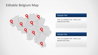
- A public sector presenter can brief stakeholders on regional programs using the gray map with pins and stacked callout boxes to connect locations with short policy or service notes.
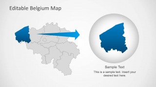
- A logistics planner can show branch, warehouse, or route-related locations across Belgium using the pinned map layouts and the magnified region detail for a selected operating area.
Features
- 100% editable presentation template
- Compatible with Microsoft PowerPoint and Google Slides
- Scalable vector shapes, icons and illustrations
- AI-Ready for Microsoft Copilot and Claude
- Instant access and download
Frequently asked questions
Q: How should a presenter organize a Belgium location briefing with this template?
A: Start with the full blue Belgium map to orient the audience, then move to the pin-based slide for site distribution. Use the Brussels callout only when the capital matters to the decision. Close with the region zoom when one territory needs deeper explanation, so the audience sees national context before detail.
Q: Who is this map template best suited for?
A: This template fits presenters who need to explain where things are happening in Belgium, not just list facts. Sales leaders, consultants, government teams, logistics planners, and educators can use the pins, regional outlines, Brussels detail, and zoom view to connect locations with decisions, responsibilities, or audience actions.
Q: Why do the flag, pins, and zoom metaphor help the message?
A: The flag quickly signals the country, while red pins create a familiar map metaphor for physical locations. The zoom slide turns one region into a visual close-up, helping the presenter shift from overview to detail without forcing the audience to search the full map for small borders or markers.


Editable Belgium Map Template for PowerPoint
8-slide PowerPoint presentation template with Belgium maps, regional callouts, flags, and location pins
Editable Belgium Map Template for PowerPoint is an 8-slide country map deck with editable Belgium regional maps, location pin layouts, a Brussels callout, a two-map comparison, and a region zoom detail. It is built for presenters who need to show Belgian territories, city focus, or regional coverage in PowerPoint.

 Loading...
 Microsoft PowerPoint
  Microsoft Copilot
  Claude for PowerPoint
 Other formats supported
Subscribe today and get immediate
access to download our PowerPoint templates.