Connected Map PowerPoint Template
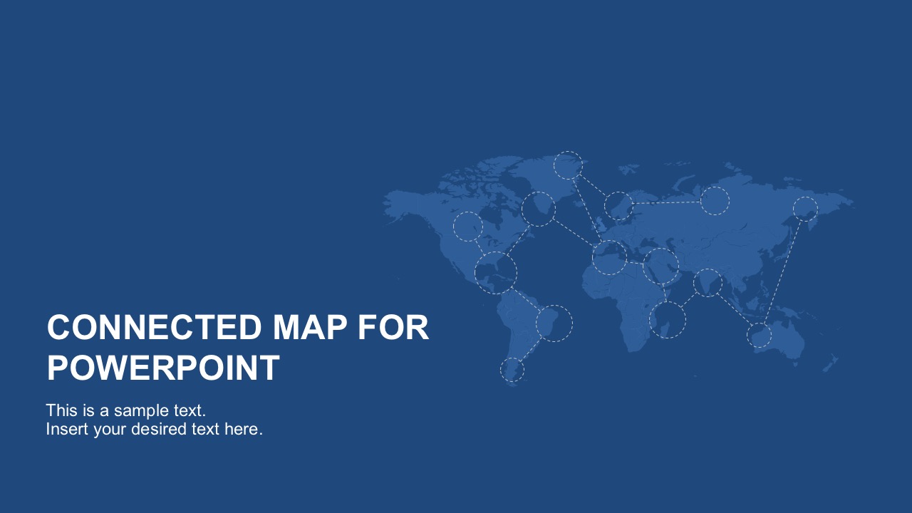
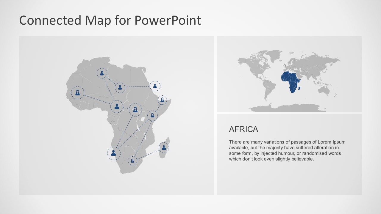
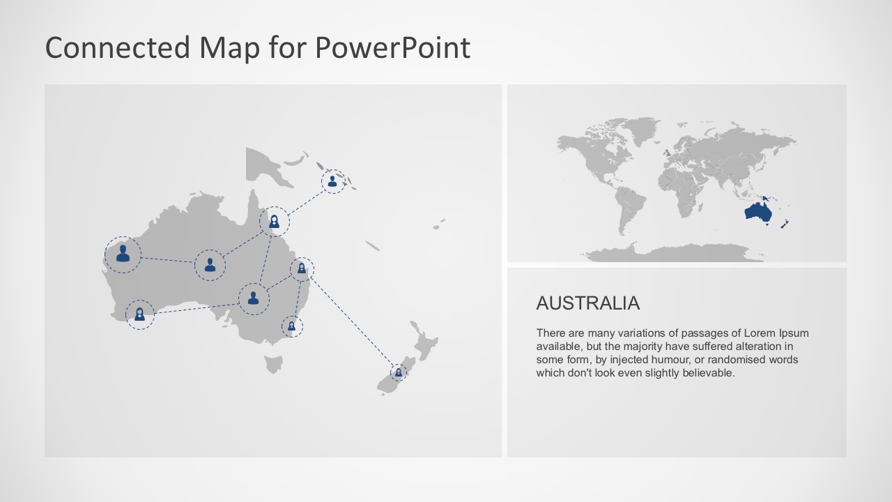
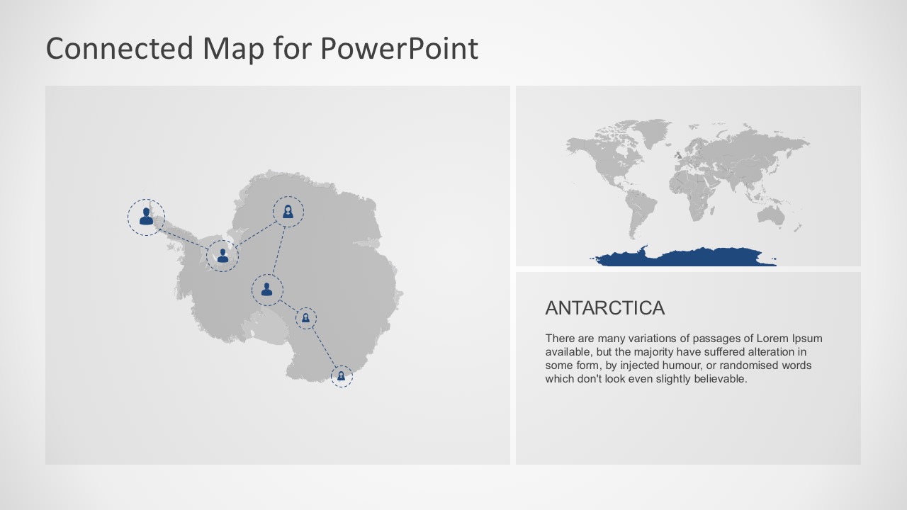
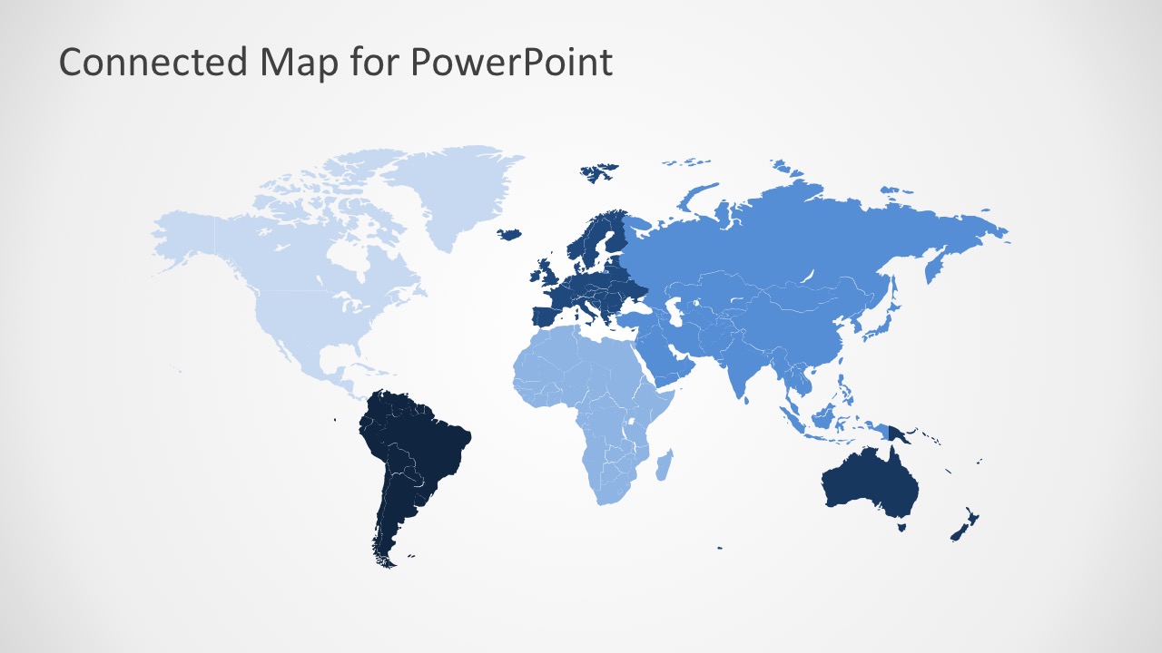
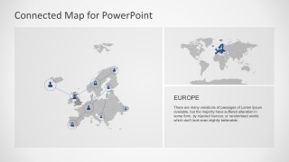
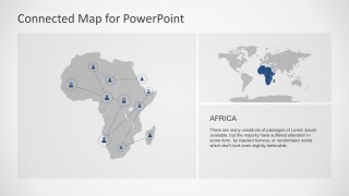
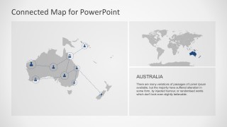
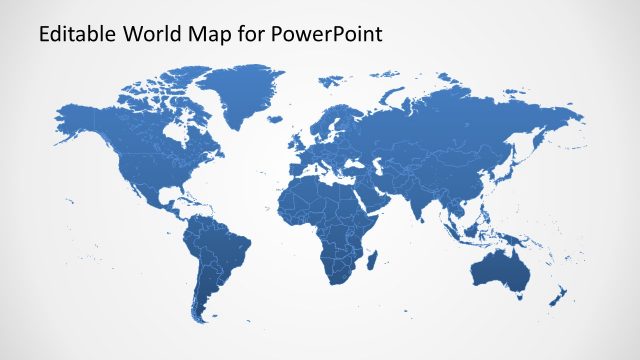
The Seven Continents of the World in a downloadable PowerPoint slides. This Connected Map PowerPoint Template shows the geographic location of the continents and their regions. In general, there are seven large land masses on earth. Namely Asia, Africa, Antarctica, Australia, Europe, North America and South America.
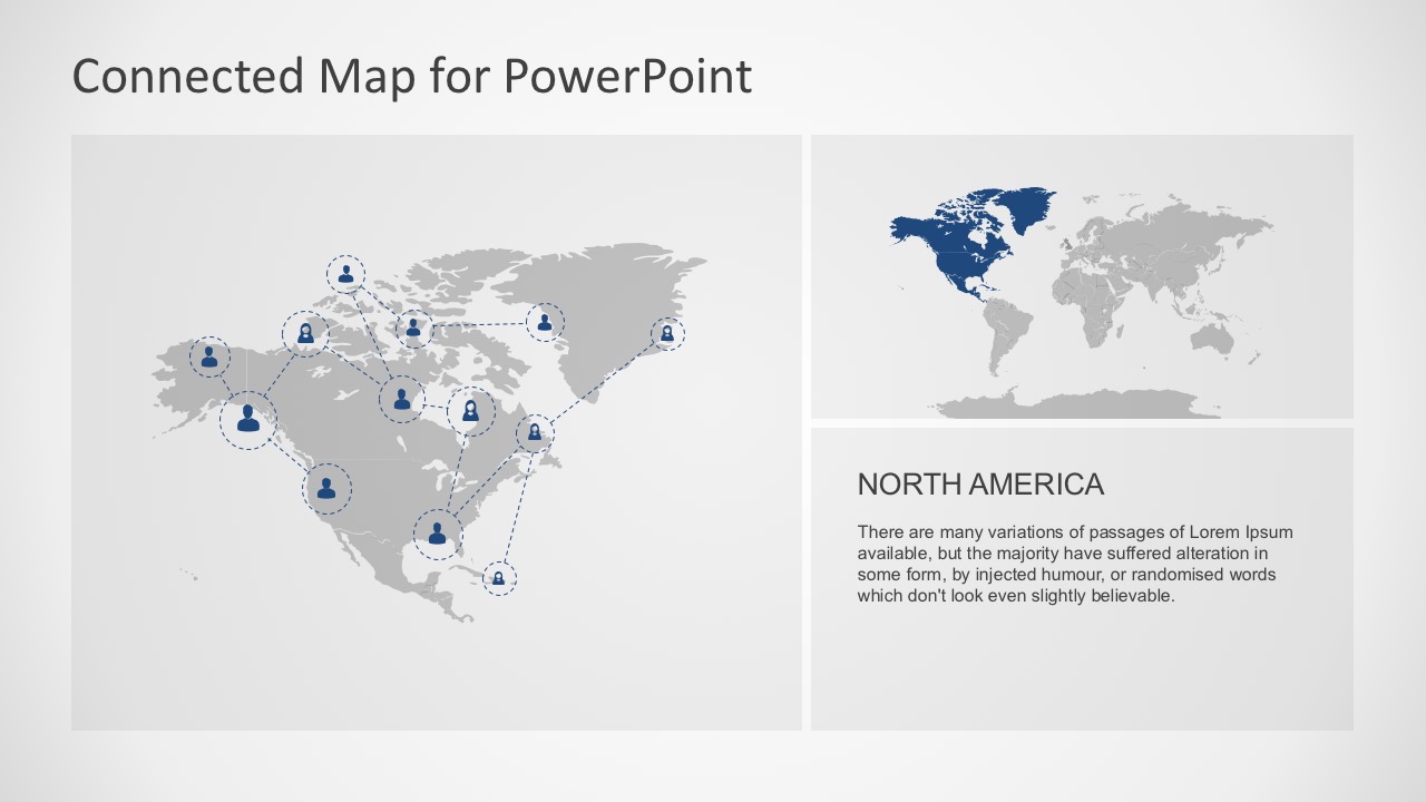
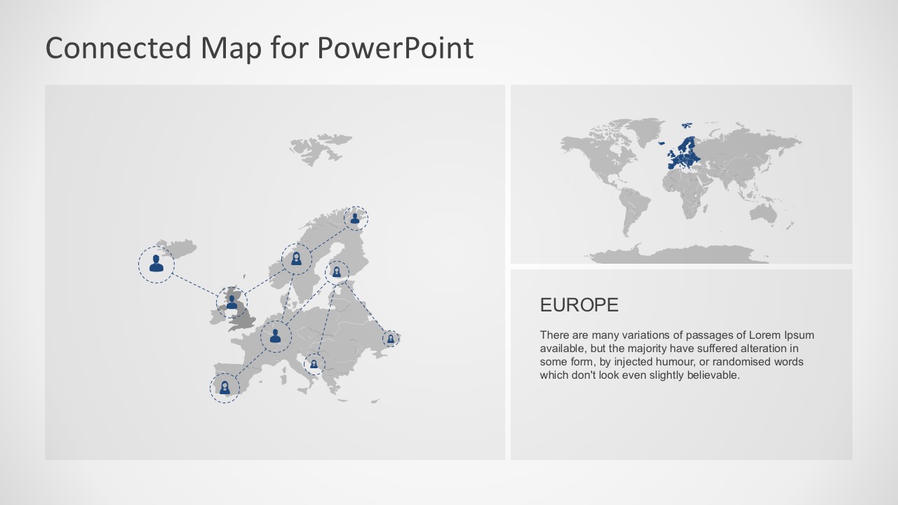
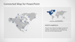
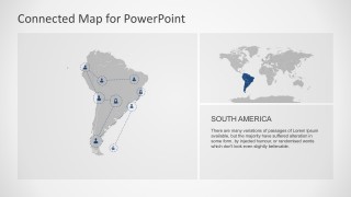
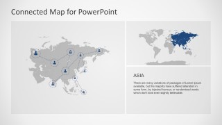
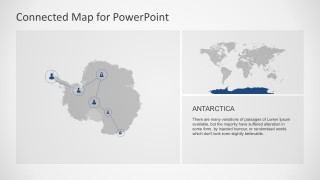
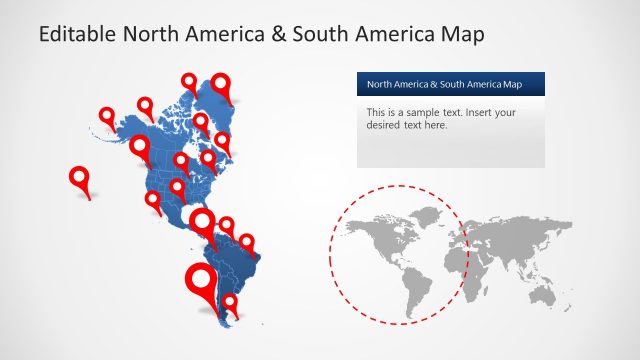
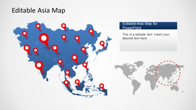
The PowerPoint slides are divided into three sections. Let’s take Asia, the largest continent as an example. In Slide 7, the graphical illustration shows:
- Asian Continent Map
- World Continent Map
- Text Area
This layout allows the users to include a brief history, data or relevant facts related to the geographical representation shown . This goes with the rest of the continental slide map.
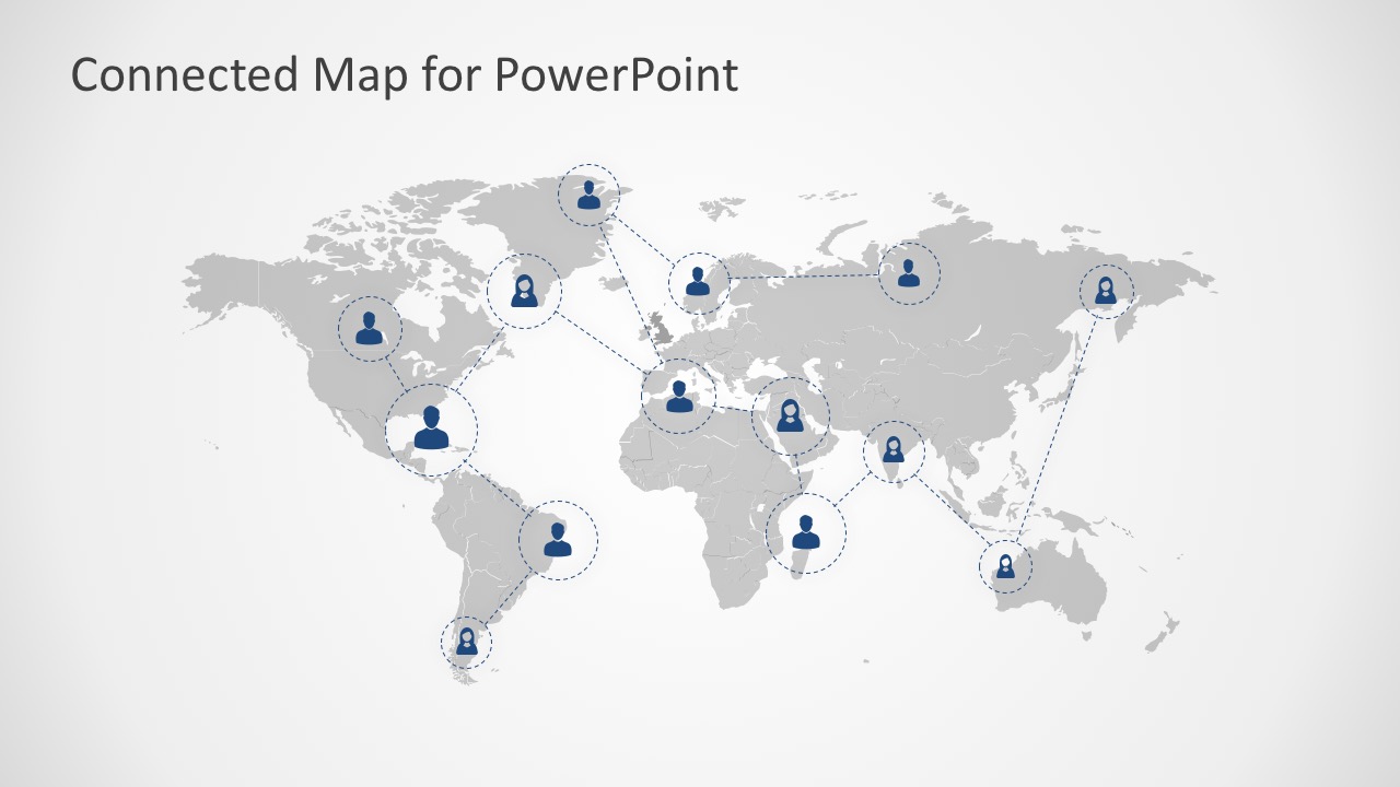
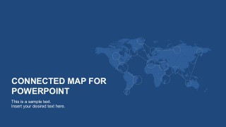
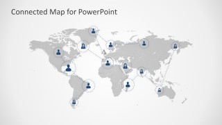
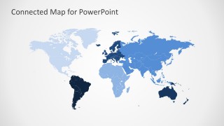
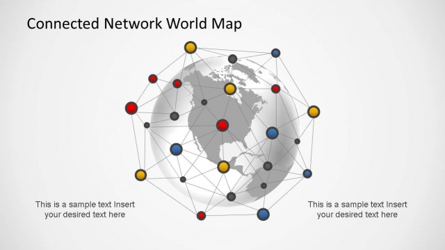
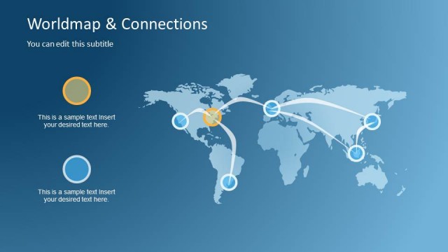
This PowerPoint template also highlights the world continent map in two versions. One is the graphical illustration with human icons interconnected with dotted lines. This can be used as a representation of the human interactions. The second is a colored World Continent Map with visible marginal sections. The whole picture draws the concept of globalization and networking. Generally, this 10-slides, PowerPoint template is beneficial to political, economic, business and geographically related presentations.
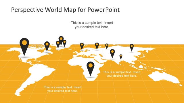
The PowerPoint Maps included in this template are all 100% editable. The user can ungroup the parts, fill in colors, move and highlight sections of the map. Overall, they can explore the slides and play with the graphics to make it their own.
