Illustrate global networks using powerful visuals from Worldmap & Connections PowerPoint Template. The collection of world maps in blue and white background creates a cliché of light yet intense mood. It is appropriate for professional audiences. The PowerPoint shapes make the report even easier to grasp and analyze.
Ideal for showing international relationships, Worldmap & Connections PowerPoint Template display connections in a comprehensive manner. The global theme is perfect for networking. It can be used in generating expansion plan presentations. The design can capture possible networks and market. The global reach of the business can be highlighted as well.
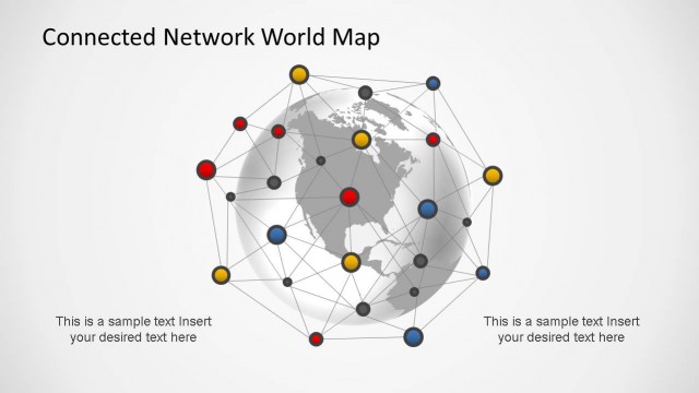
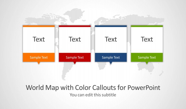
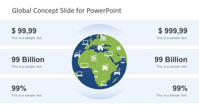
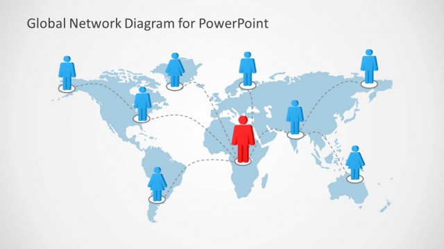
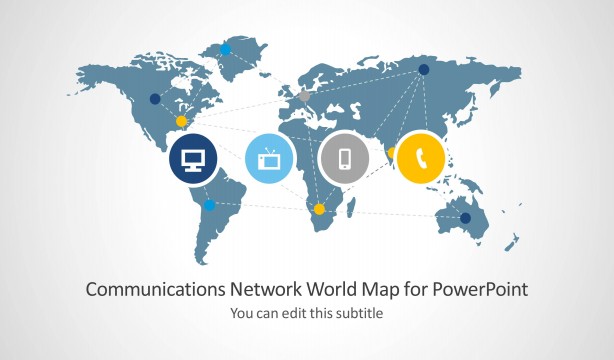
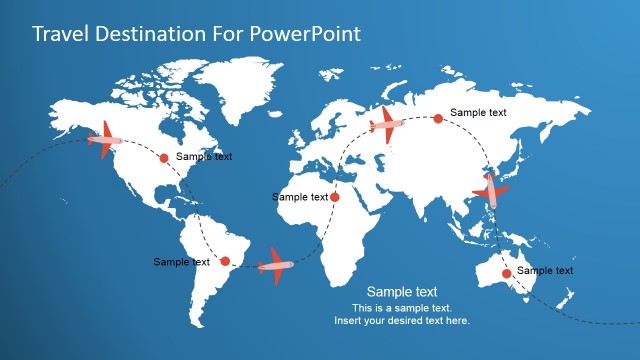
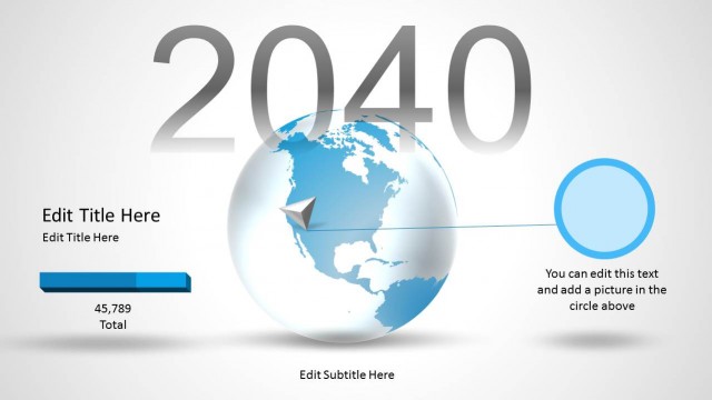
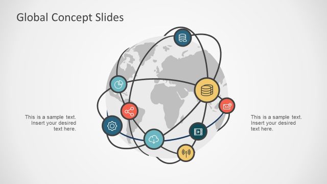
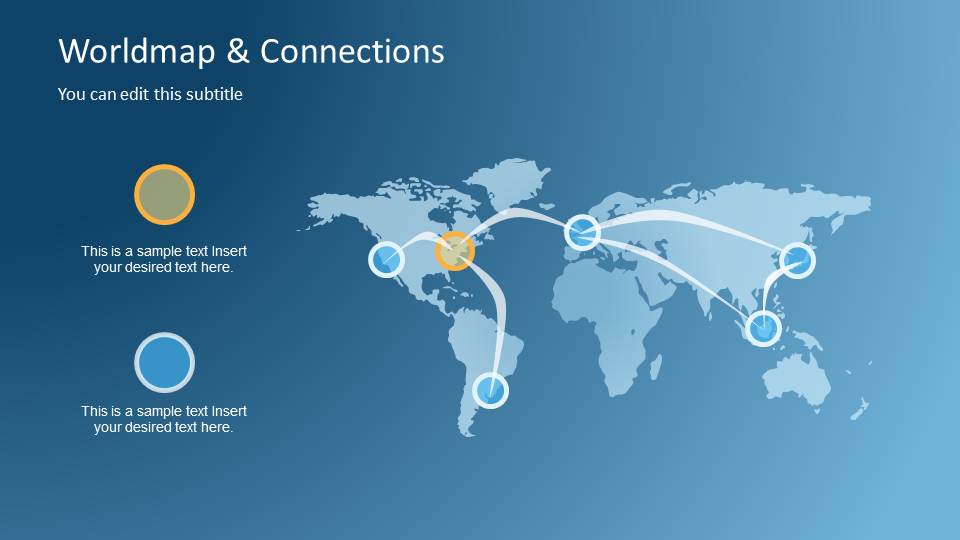
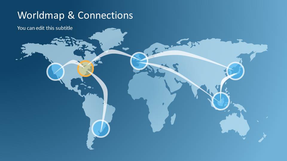
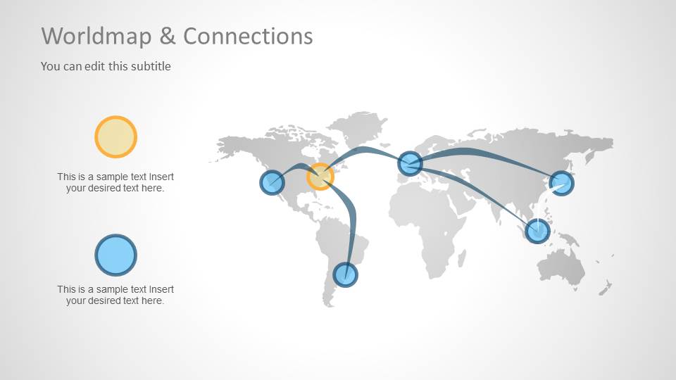
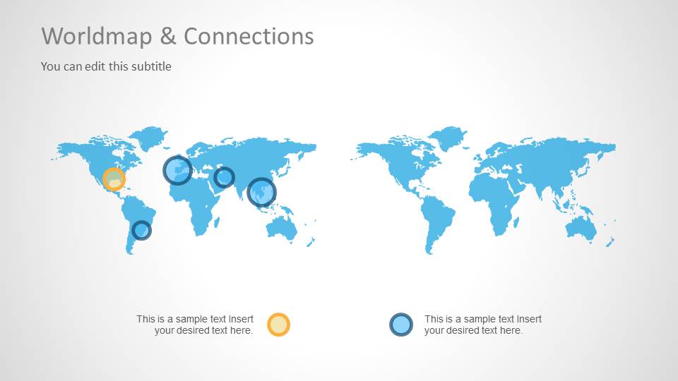
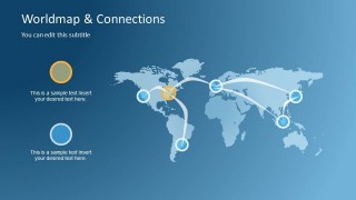
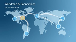
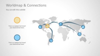
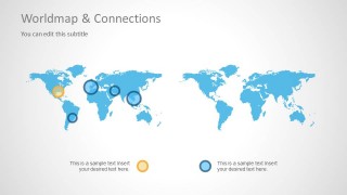
The first slide contains a world map outline on the right side. The map can be marked with colorful circular shapes. A legend of corresponding shape colors can be seen on the left side of the layout. White and curved connectors trace the path from one marker to another. This symbolizes a certain relationship between those two networks. A similar plot can be seen on the second slide. The presenter can use it while giving further explanation of the subject matter. The third slide is generally similar to the first one except for its white background. The fourth slide, however, display two sets of world map. In the design, the first map is marked while the other one is not. This can serve as a comparative case between an implemented plan versus an untouched environment.
World maps are plotted images or representations of different places or countries around the world. The design is directly proportional to the real outline of these places. They are used in navigation, location and travel. It is two dimensional. It drafts the surface of the entire planet in a flat plane whose ends can be met to create a continuous look like in reality.
Smart and interactive, Worldmap & Connections PowerPoint Template can step up any presentation on global networks. Awe more audiences with Continental Worldmap Horizontal PowerPoint Timeline from the SlideModel gallery.
What’s inside this template
Example presentation scenarios
- A telecom presenter can show regional network nodes and international connection paths using the curved routes and circular markers on the world map diagrams.
- A strategy team can explain market expansion priorities by labeling the map markers and using the side-by-side comparison slide to contrast current and future coverage.
- A business development lead can present partner locations and cross-border relationships with the legend callouts and connected map nodes.
- An operations manager can brief executives on global service coverage by placing markers on the dark blue map layout and explaining each route path.
Features
- 100% editable presentation template
- Compatible with Microsoft PowerPoint and Google Slides
- Scalable vector shapes, icons and illustrations
- AI-Ready for Microsoft Copilot and Claude
- Instant access and download
Frequently asked questions
Q: How should a presenter explain the connection paths without overcrowding the map?
A: Start with the title and one clear point about the network, then reveal the meaning of marker colors through the legend callouts. Use each curved path to explain one relationship or route, not every possible link. Keep labels short and let the map carry the geographic context.
Q: Which presentation situations fit this map template best?
A: This template fits briefings where the audience needs to understand where relationships, hubs, routes, or coverage areas exist across regions. It is useful for telecom teams, international business units, expansion planners, and consultants who need a quick visual explanation of a global network rather than a data-heavy report.
Q: Why do the circular markers and curved paths work better than a table of locations?
A: The design turns locations into nodes and connections into visible movement, which creates a network metaphor the audience can understand quickly. Curved paths suggest flow across distance, while colored circles separate categories or priorities. This makes geographic relationships easier to compare than a text list of countries or offices.
Worldmap & Connections PowerPoint Template
4-slide PowerPoint presentation template for world map connections, global networks, and route planning
Worldmap & Connections PowerPoint Template is a 4-slide map presentation template for showing global networks, routes, and market reach. It includes blue and white world map connection diagrams, legend callouts, curved route paths, and a side-by-side map comparison. It fits business, telecom, communications, and expansion planning presentations in PowerPoint.


 Loading...
 Microsoft PowerPoint
  Microsoft Copilot
  Claude for PowerPoint
 Other formats supported
Subscribe today and get immediate
access to download our PowerPoint templates.