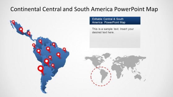
Central America Maps Templates for PowerPoint and Google Slides
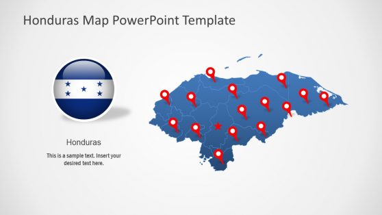
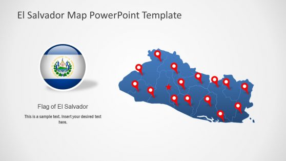
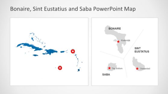
Download Central America Maps Templates for geography presentations or location services. Our Maps are fully editable and created based in individual PowerPoint objects.
Featured Templates
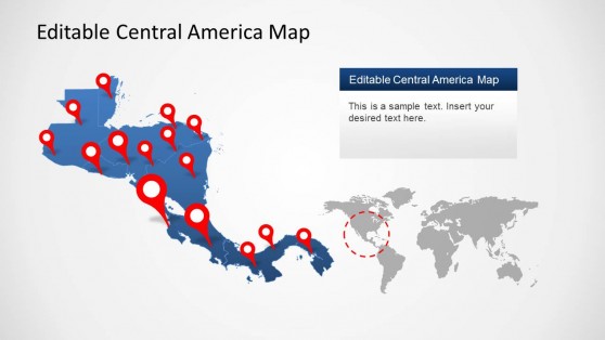
Central America Map Template for PowerPoint
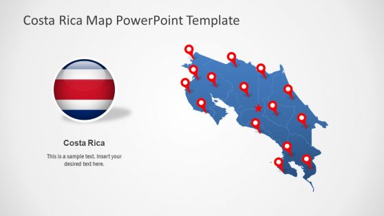
Editable Costa Rica Map PowerPoint Template
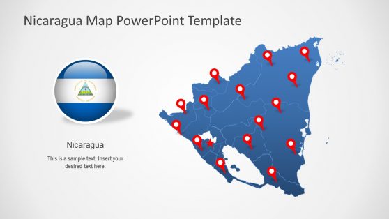
Editable Nicaragua Map PowerPoint Template
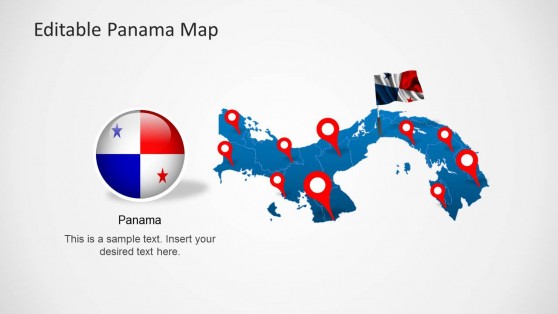
Editable Panama Map Template for PowerPoint
Latest Templates
For professionals working with geographic data from Central America, South America, or even North America, having an accurate and editable map of North and Central America in PowerPoint is essential. Imagine presenting complex regional data to stakeholders without the proper visuals — losing the audience’s attention is easy. Our North America and Central America map templates solve this issue, allowing you to showcase everything from trade routes to demographic shifts in a visually compelling format. With these templates, you can highlight countries, regions, or even cities in Central America with just a few clicks.
These maps are perfect for presenting data that spans borders. If you’re addressing the business dynamics between the U.S. and Mexico or focusing on Central America’s emerging markets, a well-designed North and Central America map is your go-to tool for clarity and engagement. Whether you’re explaining economic data, market trends, or supply chain logistics, these templates provide the professional edge you need.
Why Use Central America Map PowerPoint Templates?
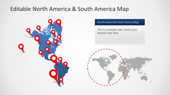
You’ll find our Central and South America map templates invaluable for presentations that involve the whole region, from Mexico to Argentina. A combined South and Central America map allows you to address cross-regional issues without switching between visuals. These templates will enable you to effectively demonstrate economic ties, environmental issues, and cultural exchanges between countries in Central and South America.
A map of South America and Central America offers comprehensive visual representation when showcasing broader economic trends or political relations in Latin America. For instance, discussing trade relations between Brazil, Argentina, and Guatemala and having a unified South America and Central America map enables you to present the data holistically. These maps are perfect for comparing markets, highlighting regional disparities, or discussing cross-border collaboration.
Our map of Central America and South America templates are designed to fit seamlessly into any presentation. You can easily customize colors, labels, and markers to suit your topic, whether trade, tourism, environmental impacts, or political data. They provide your audience with a clear understanding of the geographical scope and help them focus on your key points.
Seamless Integration with PowerPoint
What sets our Central and South America map templates apart is how effortlessly they integrate with PowerPoint. We’ve designed our templates to be user-friendly and easily editable, even for those with limited design experience. With just a few clicks, you can modify colors, resize elements, and customize borders to fit your needs. The editable format ensures that every map can be tailored to your presentation’s theme, whether you’re highlighting political changes, economic forecasts, or geographic trends.
The ease of use also means you save time. There’s no need to spend hours creating a custom map from scratch. Instead, you can choose from a range of North America and Central America map templates, import them into your PowerPoint slides, and start working on your presentation immediately. This improves efficiency and ensures that your maps look polished and professional every time.
How do I get a North and Central America Map in PowerPoint?
Download a North and Central America map template from SlideModel.com or use PowerPoint’s Insert > Map feature, if available, and customize it for your presentation.
Is there a world map in PowerPoint?
Yes, you can insert a world map in PowerPoint via the Insert > Map feature, or find pre-designed templates online at websites like SlideModel.
How do you insert a country in PowerPoint?
Use an editable map template or insert an image of the country using Insert > Pictures, and then customize it within the slide.
