Saint Lucia is a country island in the West Indies, in the eastern Caribbean Sea.
What’s inside this template
Example presentation scenarios
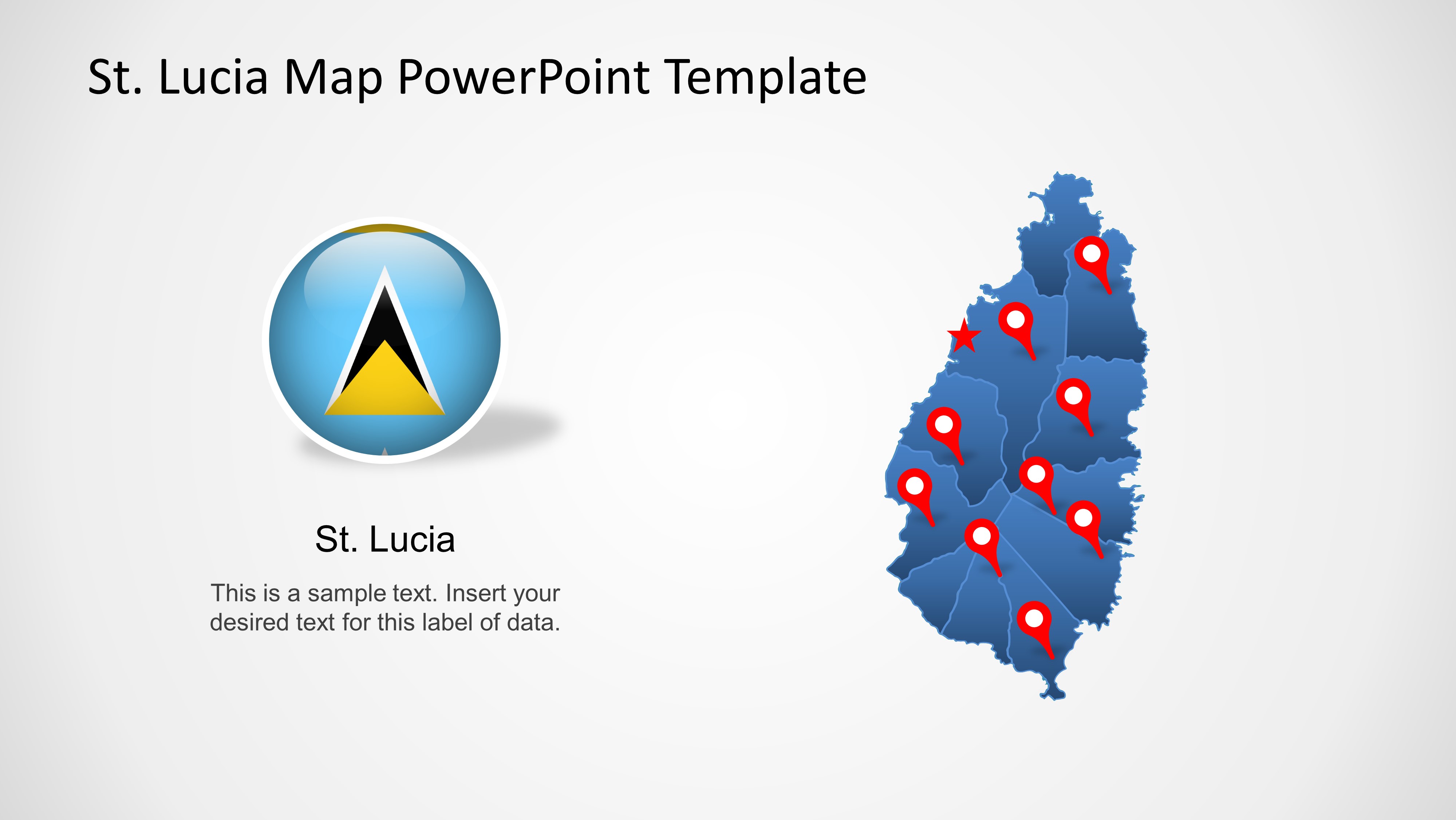
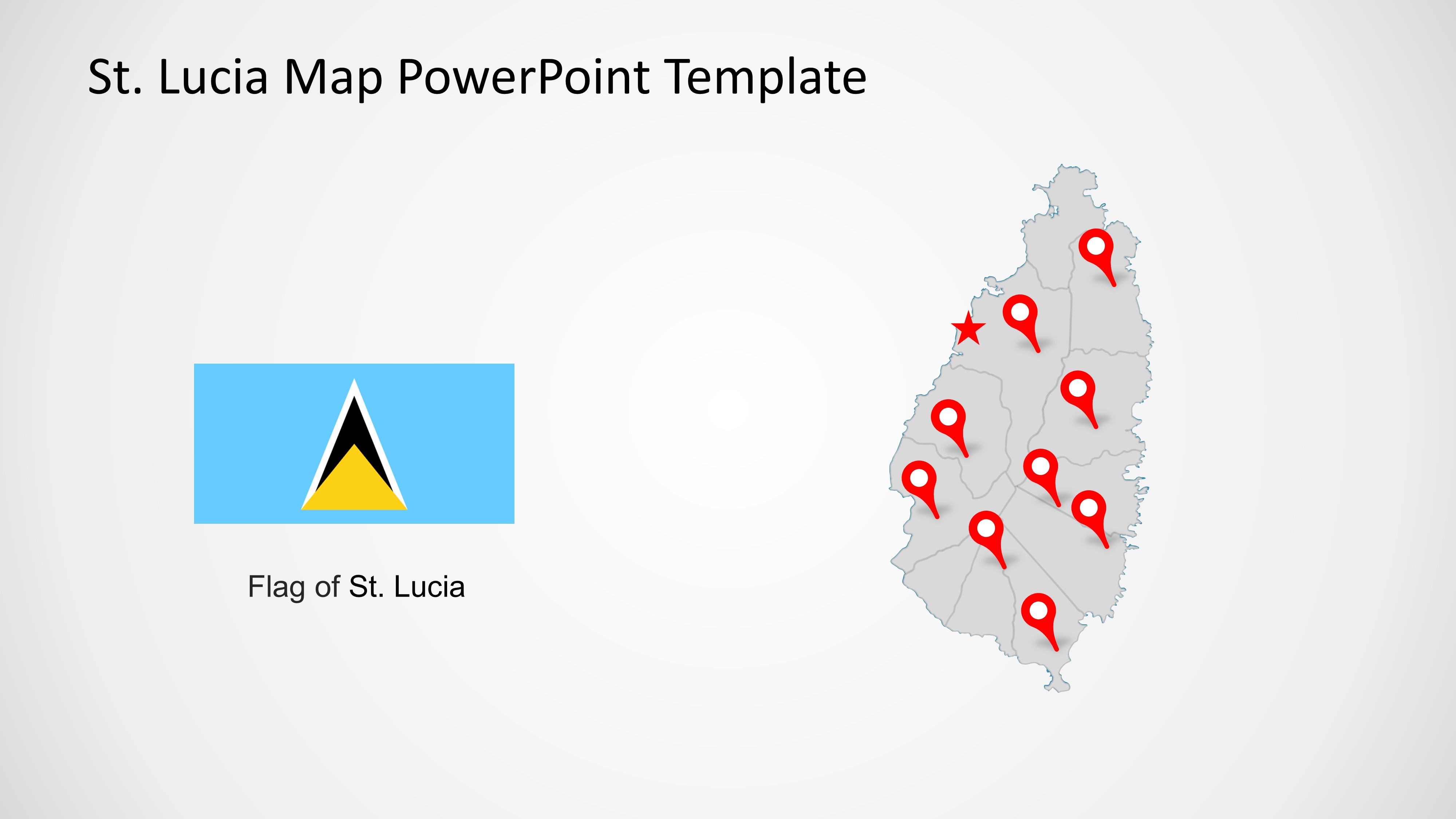
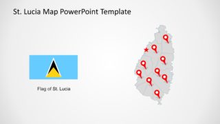
- A tourism manager can introduce Saint Lucia as a destination by using the flag and map pairing to orient the audience before discussing attractions or travel regions.
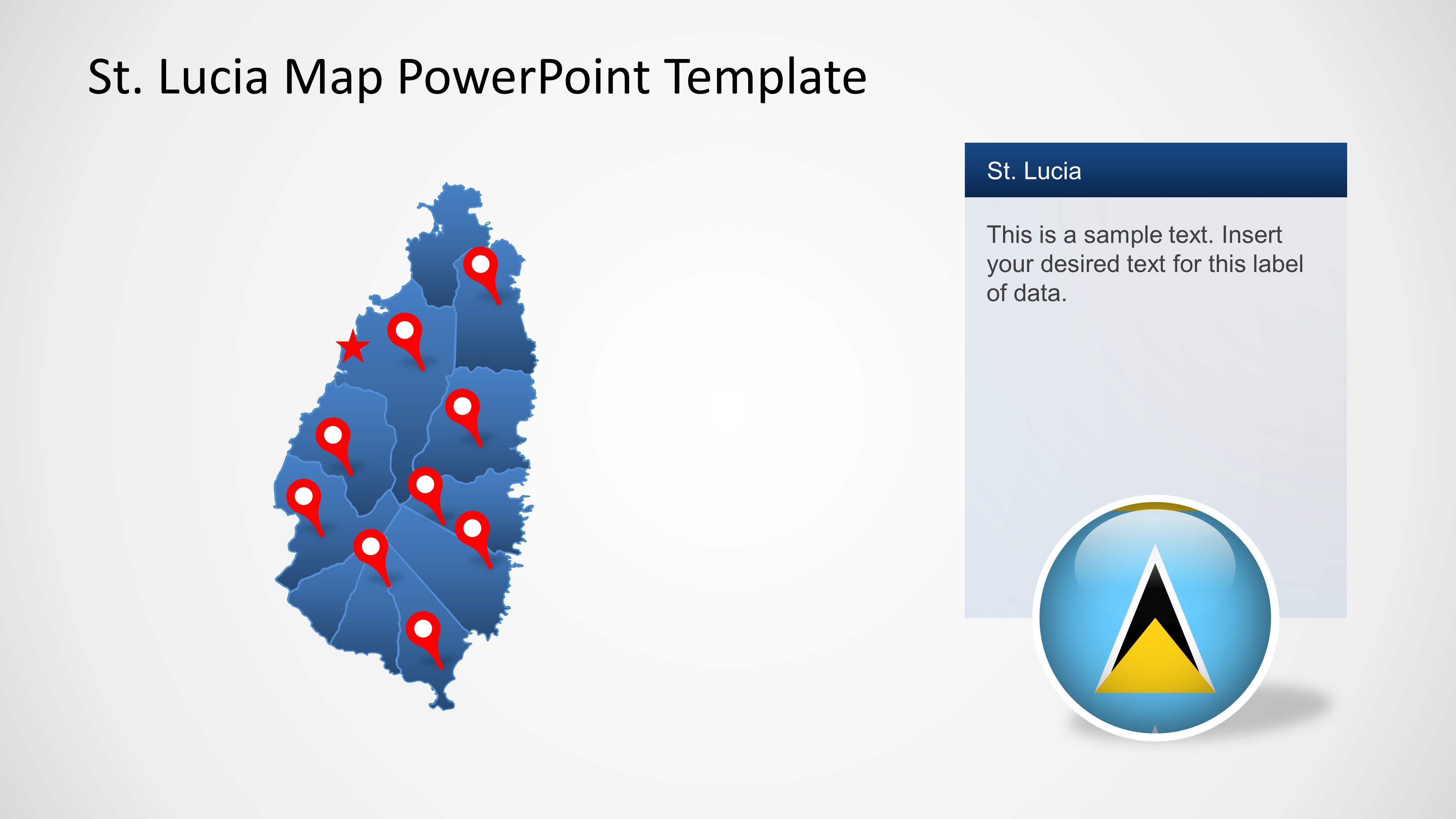
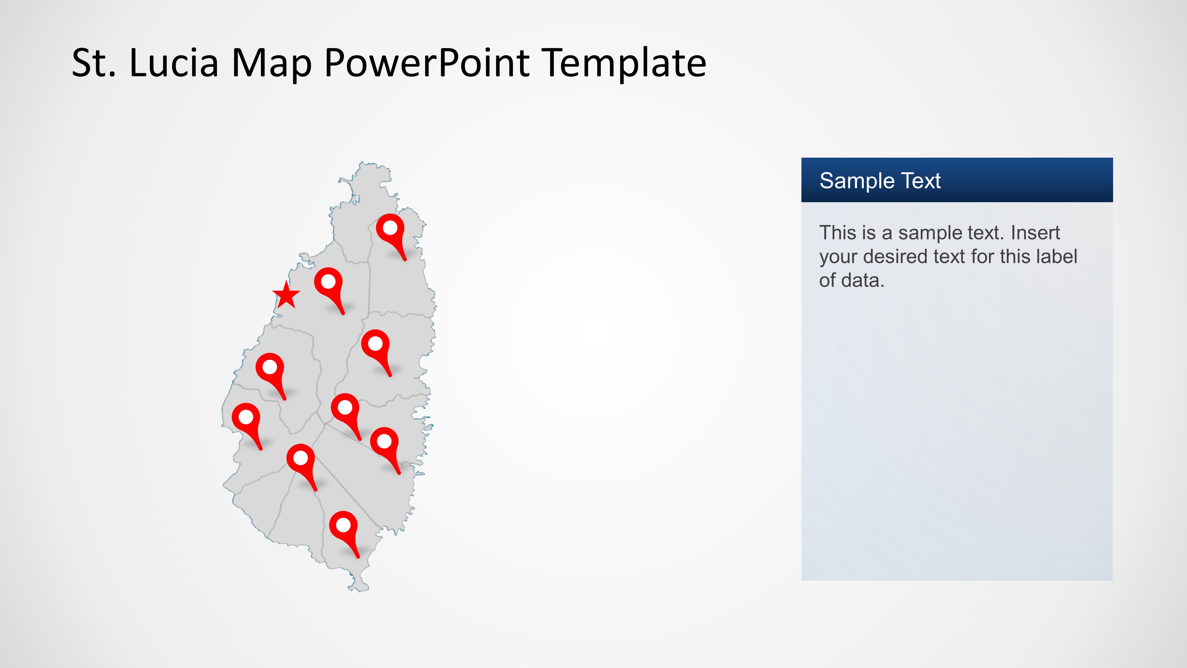
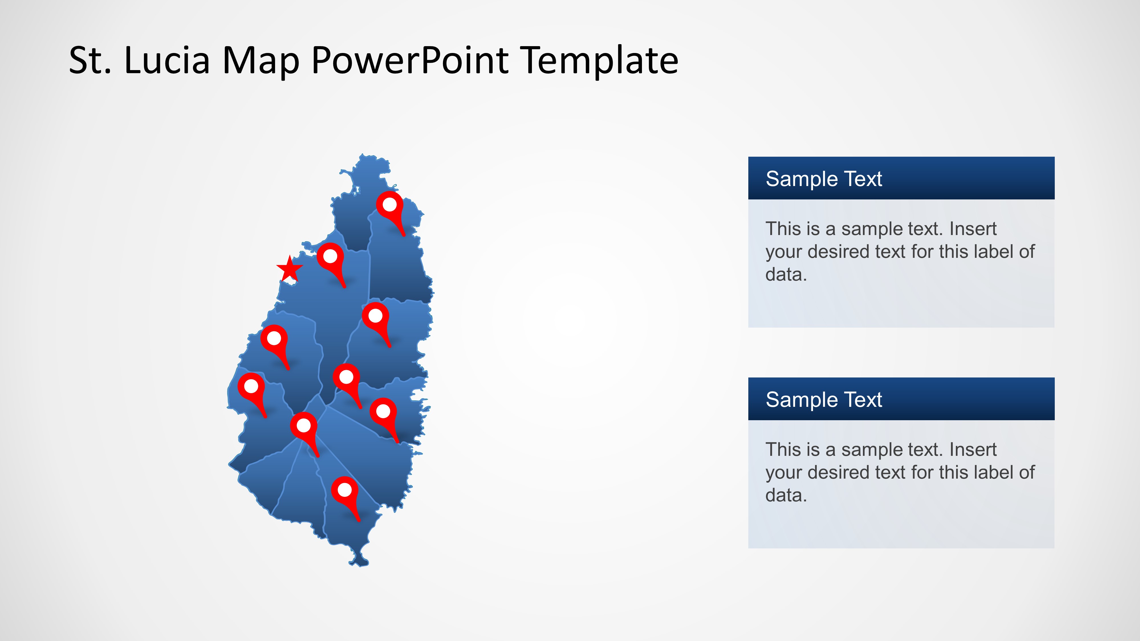
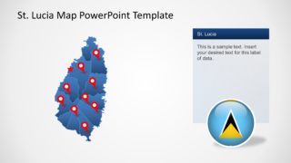
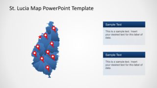
- A government or NGO presenter can show program coverage with the pinned island map and text sidebar, linking each marker to projects, communities, or field offices.
- A business development analyst can map sales territories or expansion points with the blue regional map and stacked note panels to separate current locations from planned activity.
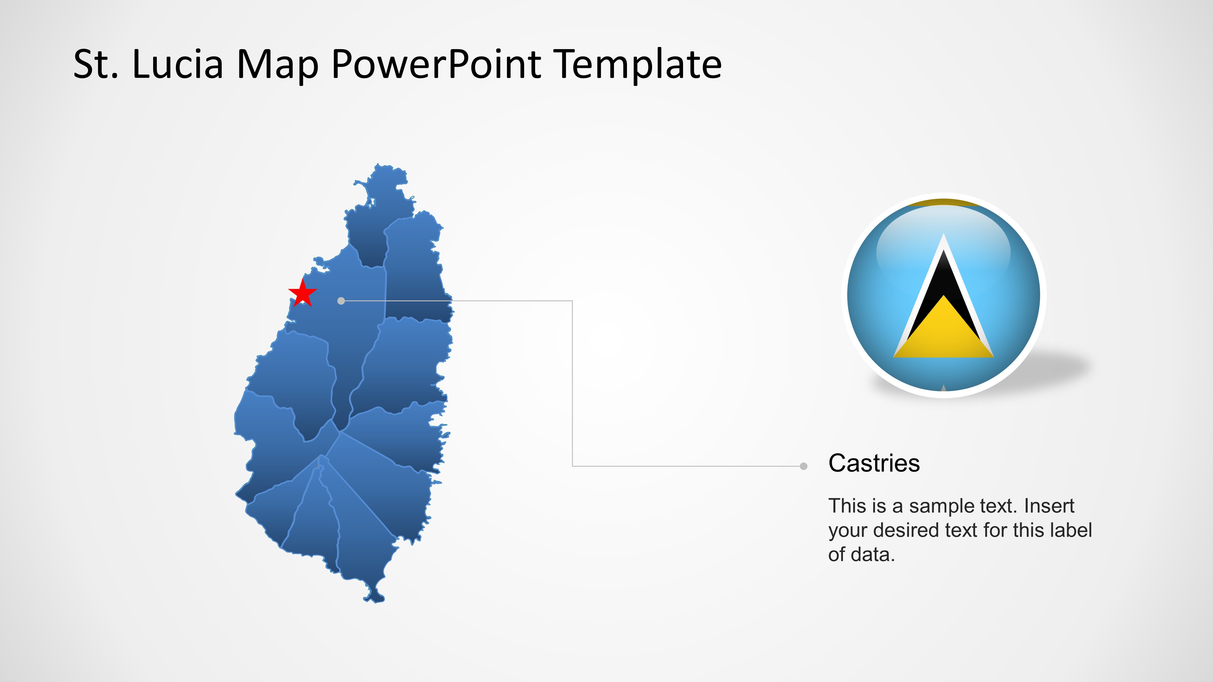
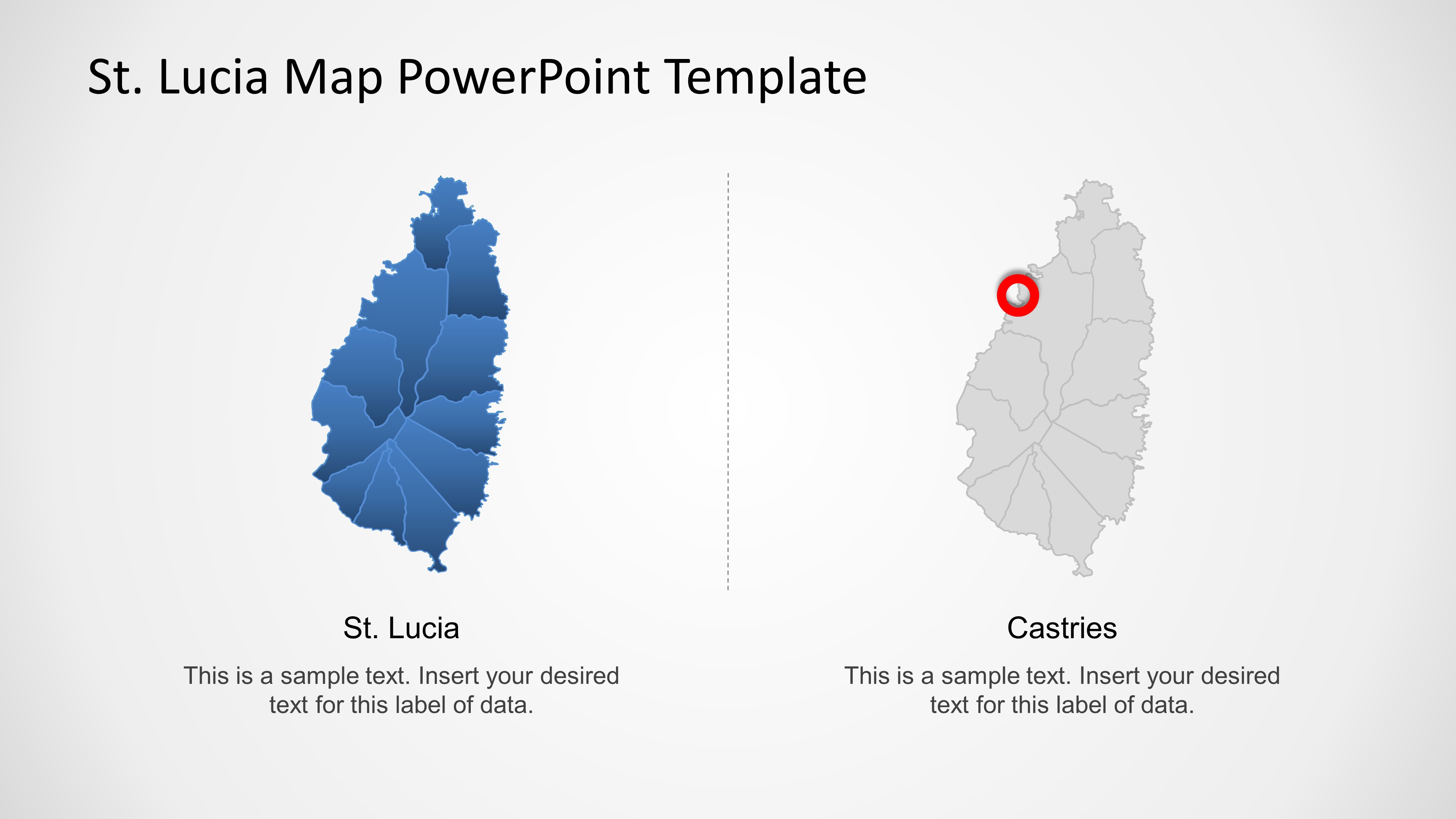
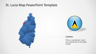
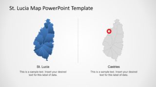
- An educator can explain Caribbean geography by using the Castries callout slide to identify the capital city and the side-by-side map slide to compare the island view with the highlighted capital location.
Features
- 100% editable presentation template
- Compatible with Microsoft PowerPoint and Google Slides
- 16:9 aspect ratio slides
- Scalable vector shapes, icons and illustrations
- AI-Ready for Microsoft Copilot and Claude
- Instant access and download
Frequently asked questions
Q: How should a presenter structure a short Saint Lucia location briefing with this template?
A: Start with the overview map to establish the island context, then use the flag slide to confirm national identity and the pinned map to mark priority locations. Move to the Castries callout when the capital matters to the message. Keep each marker tied to one clear idea so the map does not become a list of unrelated points.
Q: Who is this map template best suited for?
A: This template fits presenters who need to explain where activity happens in Saint Lucia rather than prove a financial trend. Tourism teams, public agencies, educators, NGOs, and market researchers can use the pins, sidebar notes, and capital callout to connect programs, destinations, services, or communities to recognizable geographic positions.
Q: Why do the pins, flag, and Castries callout improve the message?
A: The map gives spatial context, while the red pins act as a visual metaphor for selected places that require attention. The flag reinforces country recognition, and the Castries callout changes the focus from country-wide orientation to a specific capital reference. This sequence helps audiences understand both identity and location detail.
Saint Lucia PowerPoint Map Templates
8-slide map presentation template for Saint Lucia locations, pins, callouts, and capital highlights.
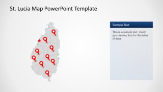
Saint Lucia PowerPoint Map Templates is an 8-slide map deck for geographic briefings about the island. Visible layouts include a pinned regional map, flag and map pairing, text sidebar maps, Castries callout, and side-by-side location comparison. It is made for business, tourism, education, and government presentations in PowerPoint and Google Slides.

 Loading...
 Microsoft PowerPoint
  Microsoft Copilot
  Claude for PowerPoint
 Other formats supported
Subscribe today and get immediate
access to download our PowerPoint templates.