Pakistan PowerPoint Map
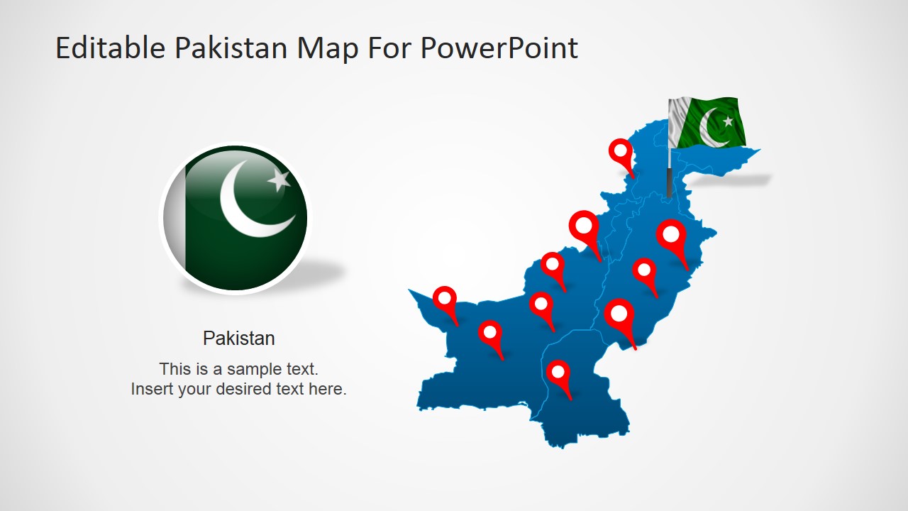
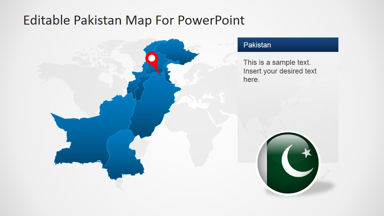
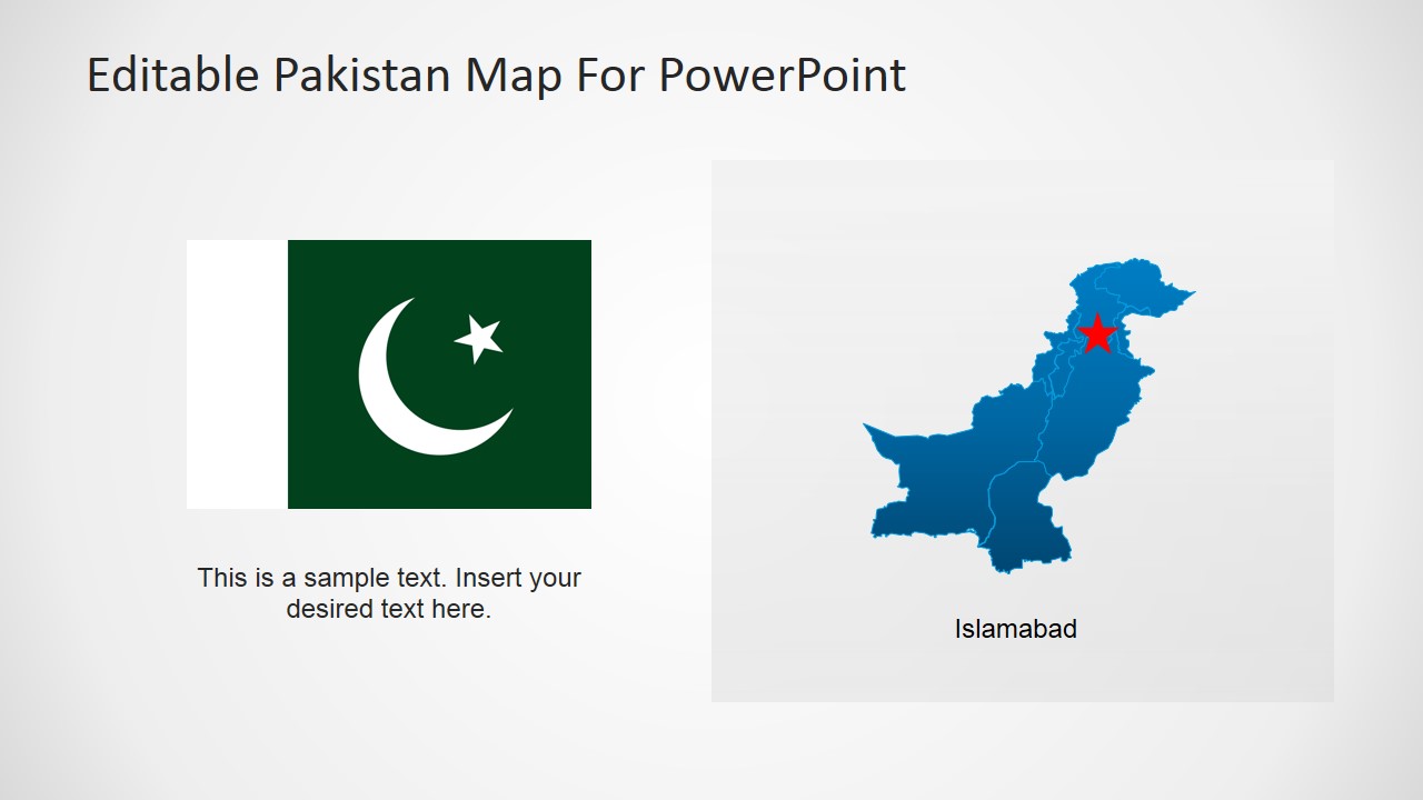
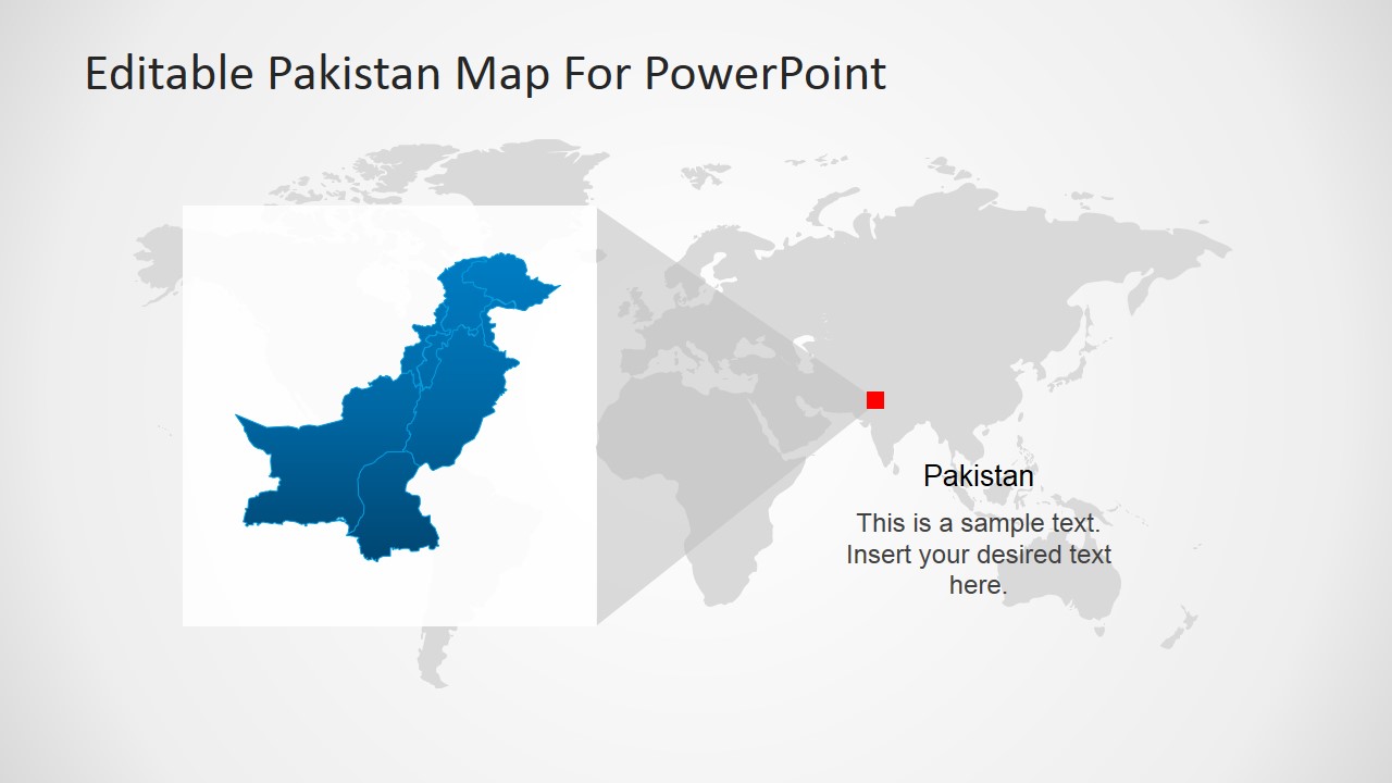
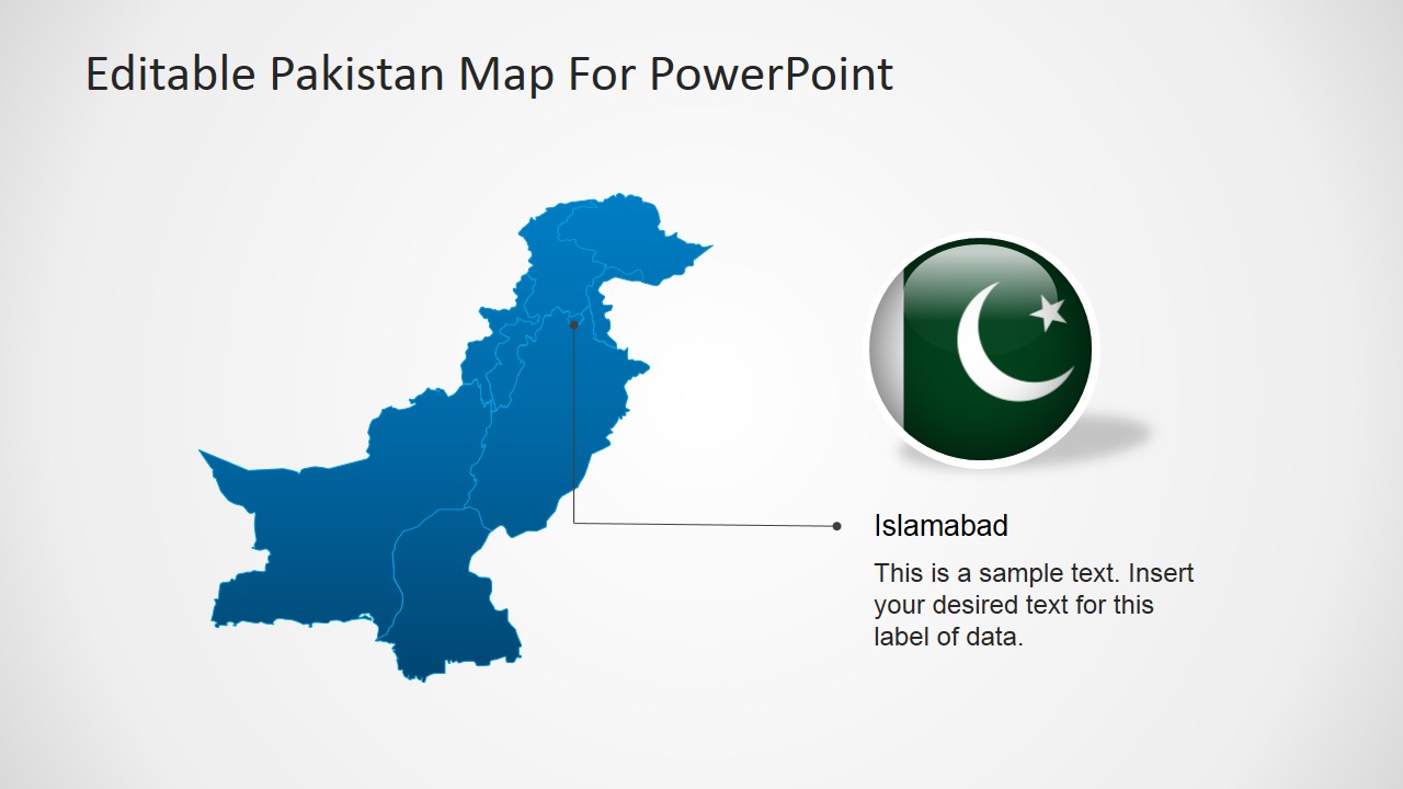
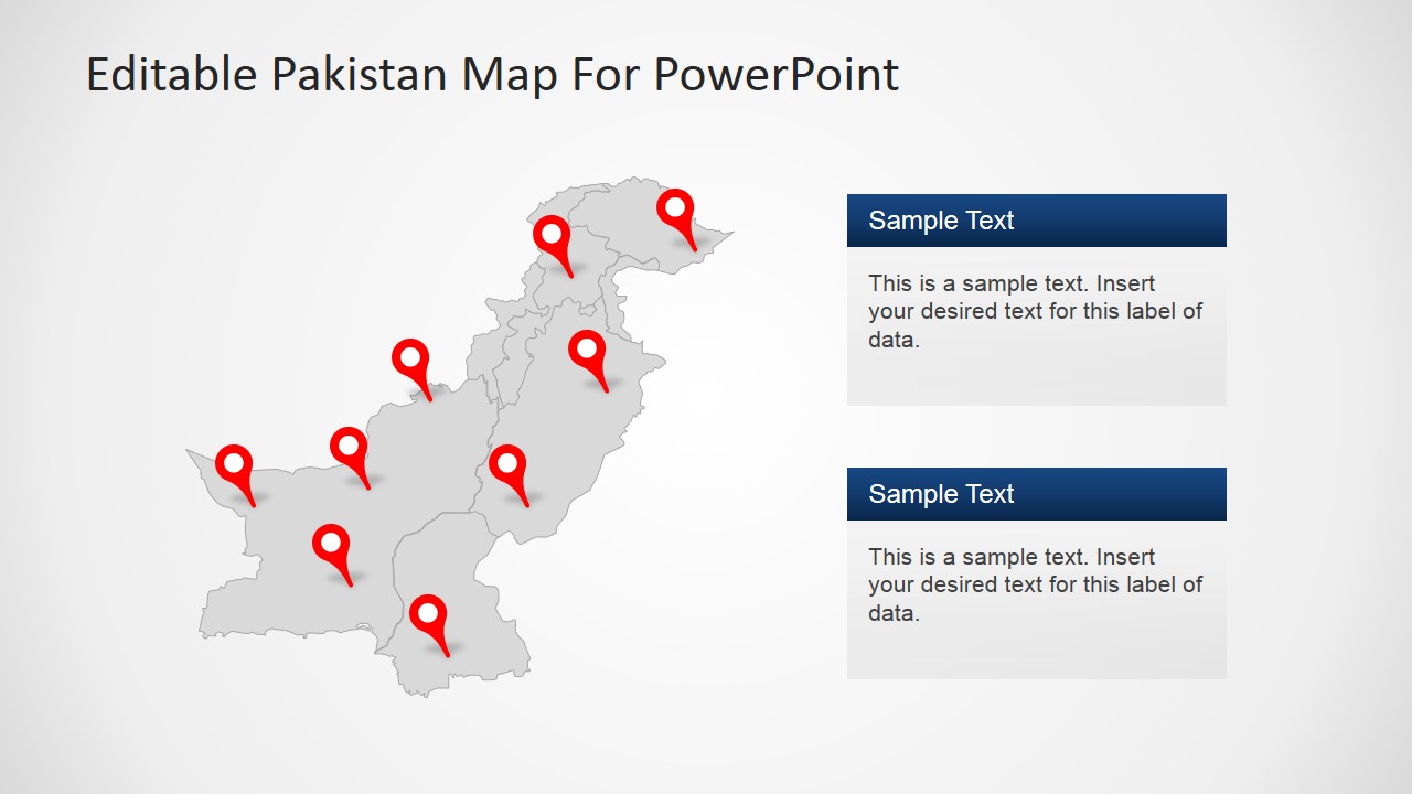
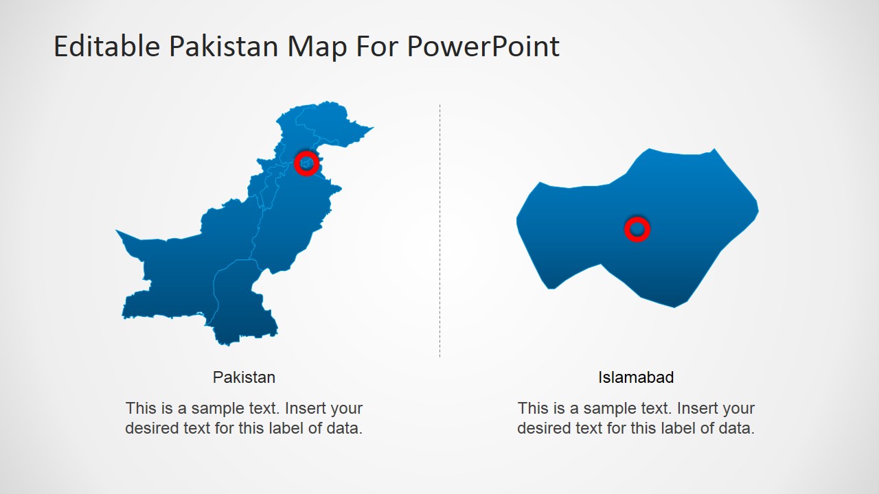
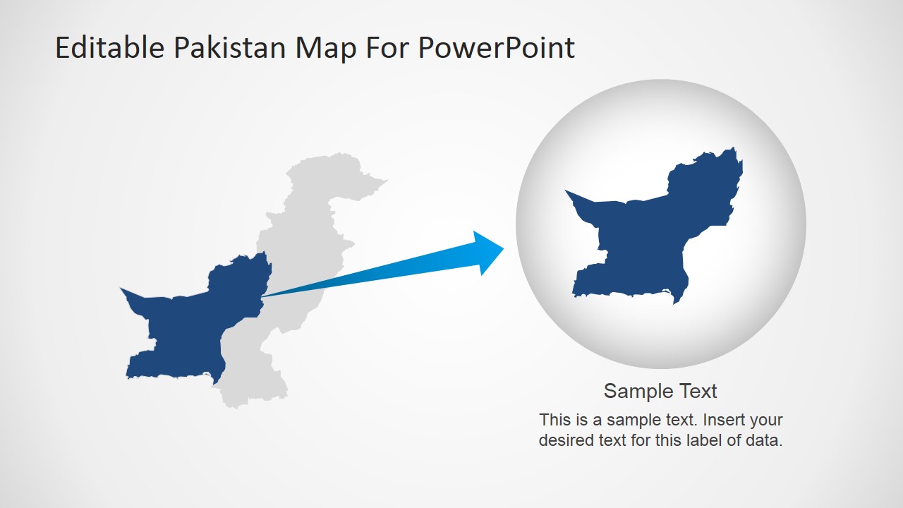
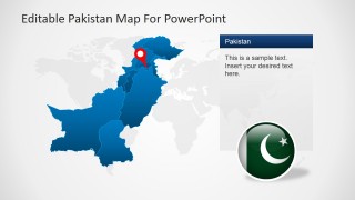
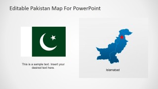
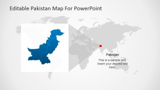
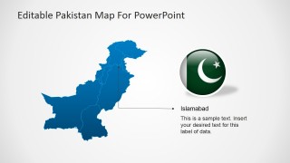
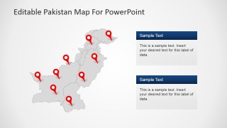
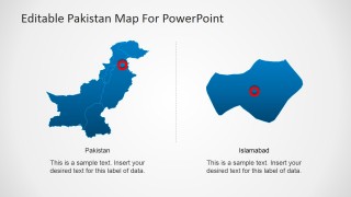
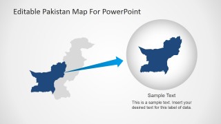
Pakistan PowerPoint Map – This PowerPoint template is a clear and concise illustration of Pakistan’s political map. It is designed for easy use and makes it perfect for a variety of presentations. One of its best features is that its map pieces are editable PowerPoint shapes that can be re-used in other illustration projects. Basically, the pieces in the slide can be placed and used in other presentations. You can create your presentation with this template and use the same template for other future schemes.
Creating a presentation about a country can be challenging. A country has tons of history and other information that should be recognized in its report. It can be overwhelming and one has to keep in mind that a presentation is very different from writing an essay or a novel. This PowerPoint design makes it easier to create a concise report. It serves as a draft to you presentation while maintaining room for your own creativity.
Using a political map in your presentation gives a more comprehensible illustration of the country. Its geographical representation paints more than just the land where the country is found. It also gives your audience an idea of its culture. For example, the fact Pakistan is in the middle-eastern part of Asia gives us an indication that its culture is very similar to the Arab nations. Showing that it has a part along the coasts hints that its people in that region depends its livelihood in the ocean or that they have amazing sea produce. The use of its geographical outline is a useful tool in identifying its government and local territory. This way its provinces and claimed lands are easily identified. It is also used in identifying terrains and heights that comprise the country’s land.
Pakistan , officially the Islamic Republic of Pakistan , is a sovereign country which borders Arabian Sea and the Gulf of Oman in the south and is bordered by India to the east, Afghanistan to the west, Iran to the southwest and China in the far northeast.
