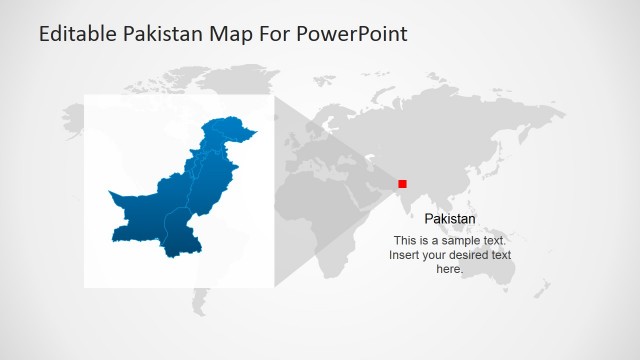
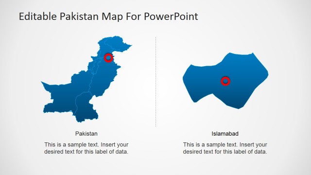
Pakistan Political Map Design
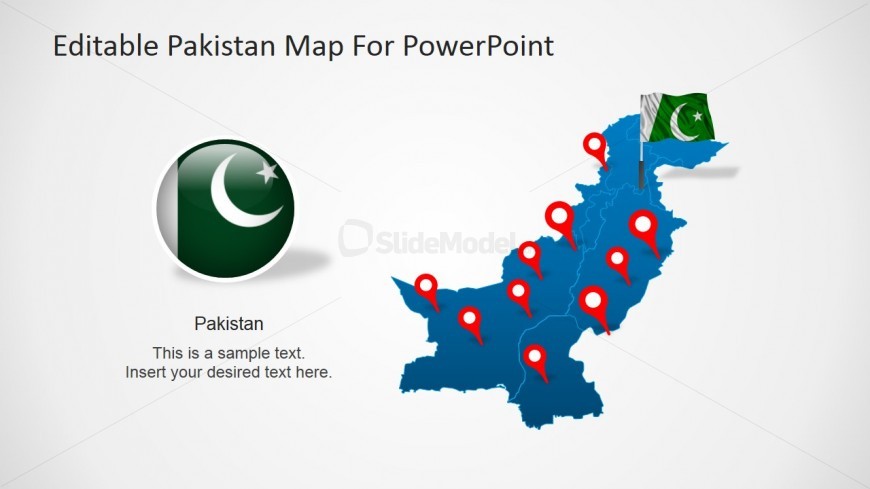
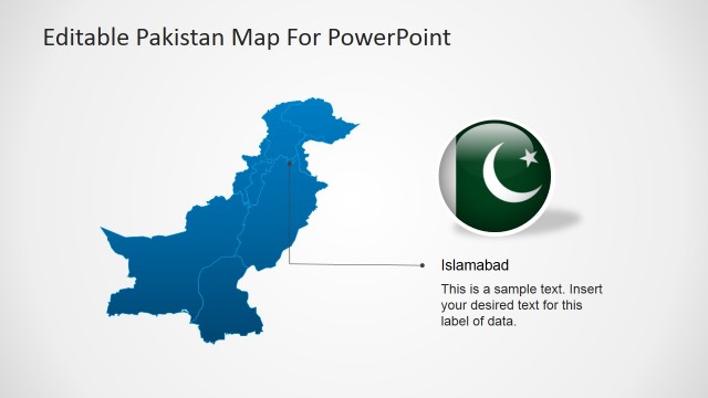
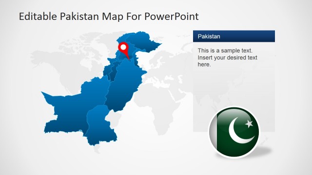
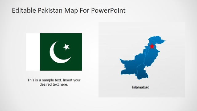
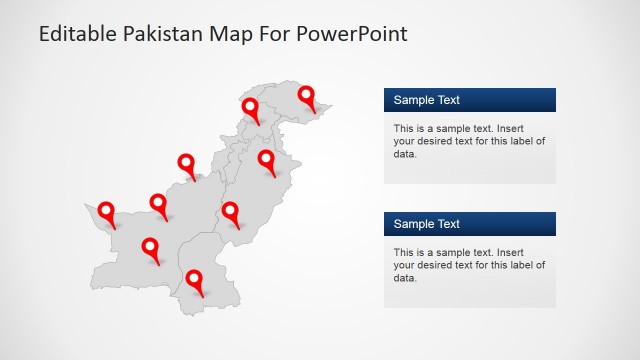
Political maps are used in defining parts of land that is administered by a certain government. It’s usually defined by an outline and colors that separates the land to its neighboring countries and territories. In this PowerPoint design, the map of Pakistan and its regions are outlined while the country itself is highlighted in blue. This part of the template shows the country’s national flag – a combination of green and white with a moon and star in the middle. You will also notice the balloon pins that can be re-arranged according to the cities you want to highlight in your report.
Return to Pakistan PowerPoint Map.