Map of Israel for PowerPoint
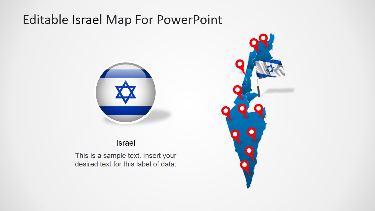
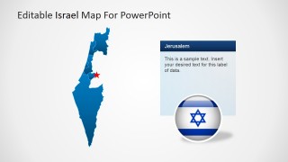
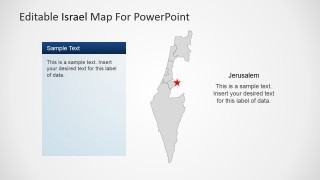
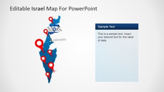
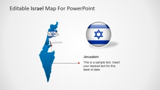
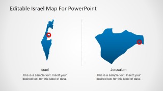
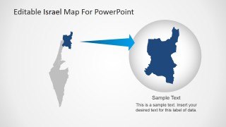
Map of Israel for PowerPoint is a professional presentation containing an Editable PowerPoint Map of the State of Israel.
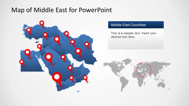
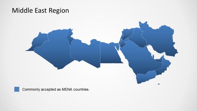
The Sate of Israel is situated at the southeast of the Mediterranean Sea, in Western Asia. It borders with Lebanon, Syria, Jordan , Egypt, Gulf of Aqaba, the Palestinian territories and the Red Sea. Israel belongs to the MENA region (Middle East and North Africa)
Israel most important cities are Tel Aviv (as its financial center) and Jerusalem (as its capital city). It operates under a parliamentary system,being a democratic republic, with a prime minister named as the head of the government.
Israel is considered an advanced country in terms of science and technology, and one of the most important in terms of startups and entrepreneurship. It leads the fields in alternative energies, water conservation and cutting edge technologies in software. It has been compared as the Silicon Valley of Asia.
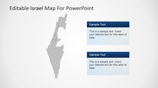
Create outstanding presentations with this Map of Israel for PowerPoint. Every state is created as individual PowerPoint shapes, allowing the presenter to customize its appearance (size, color, effects, etc). They can be reused in existing presentations, allowing high flexibility on their usage.
Impress your audience with this 100% Editable map of Israel.
