Editable Tanzania PowerPoint Map
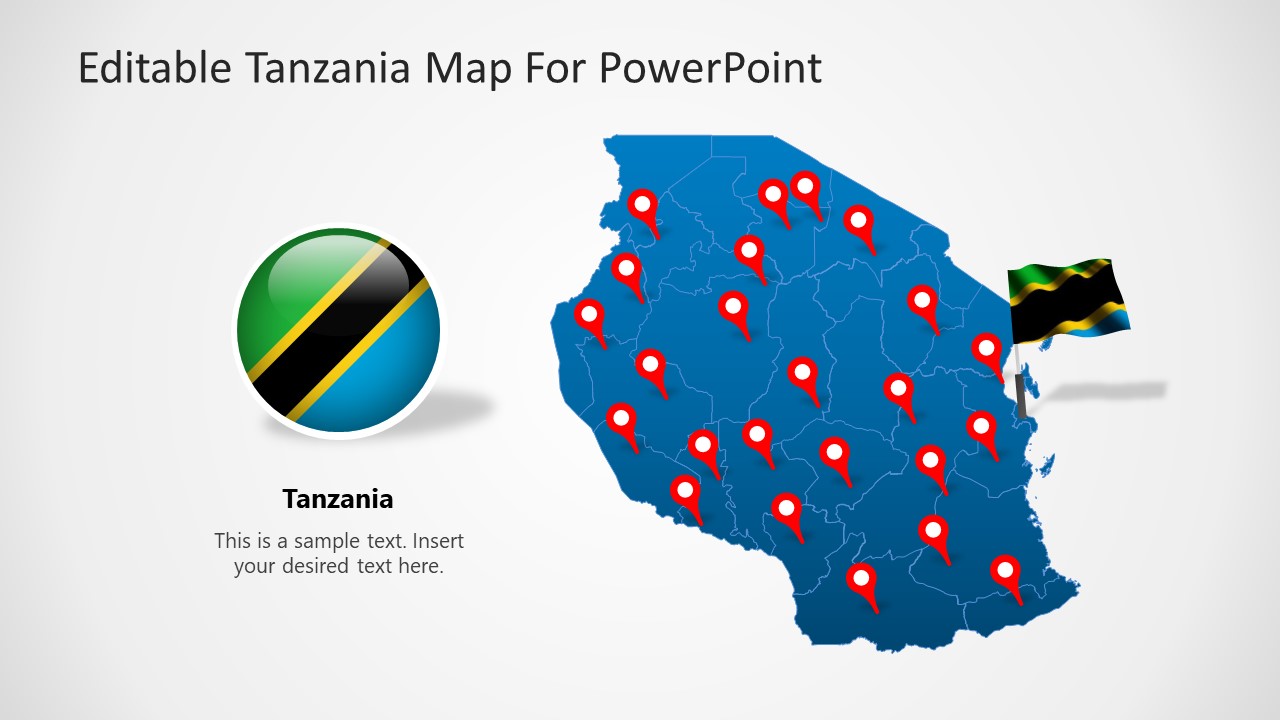
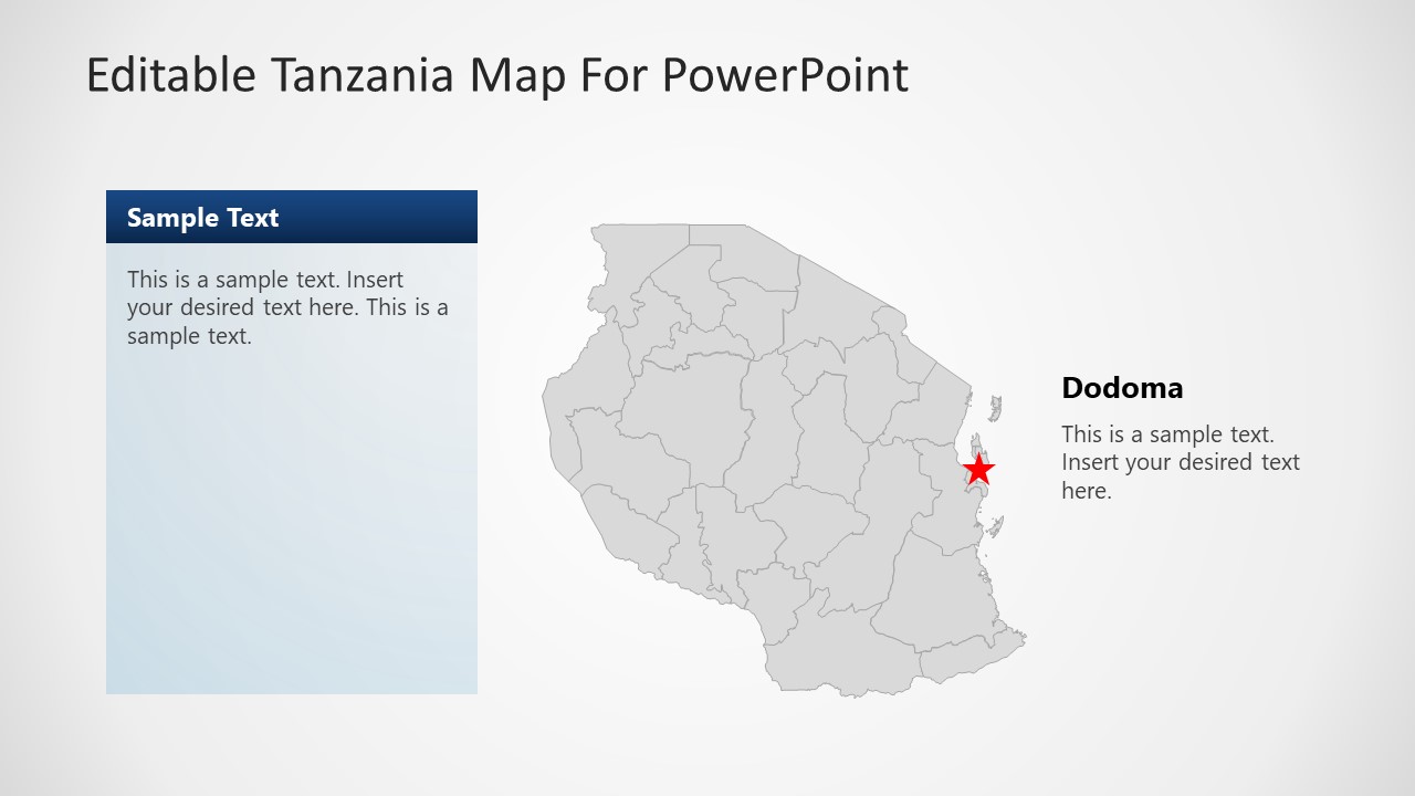
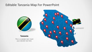
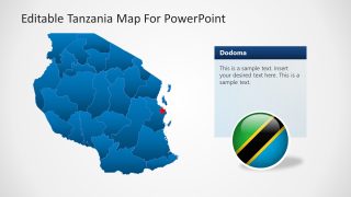
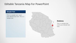
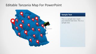
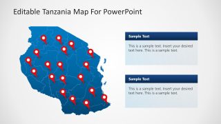
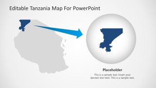
Editable Tanzania PowerPoint Map is a presentation containing eight different slides with outline and political maps of the United Republic of Tanzania. The Maps are created with our professional method of States composition, that means that each maps can be splited into states to be used independently. Each state and shape in the presentation is created as PowerPoint objects, allowing the user to edit each of the object properties as size, color, gradient, position and of course any of the available PowerPoint effects.
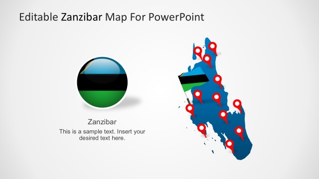
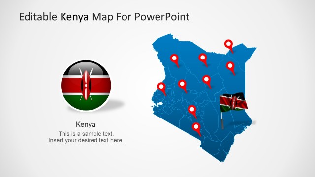
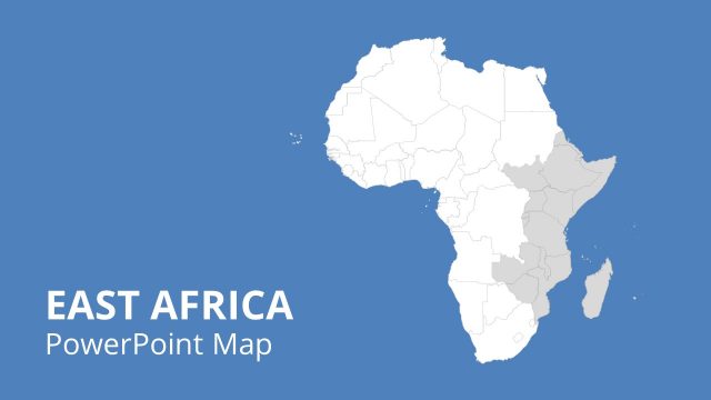
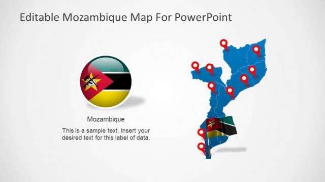
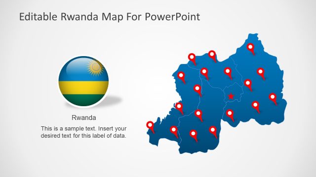
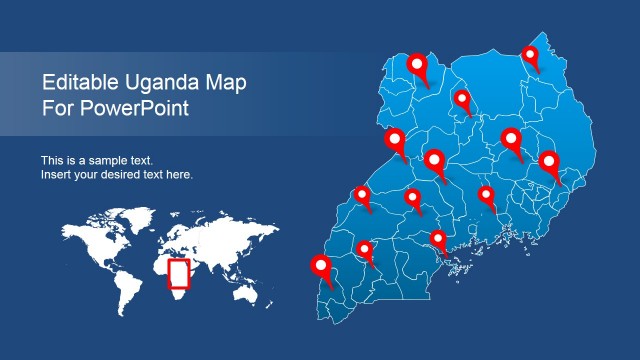
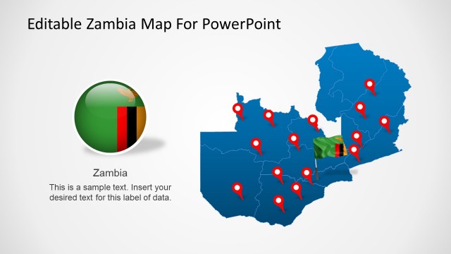
Tanzania borders with Kenya , Uganda , Rwanda, Burundi, Congo, Zambia , Malawi and Mozambique. The highest African mountain peak is located in Tanzania and called the Kilimanjaro.
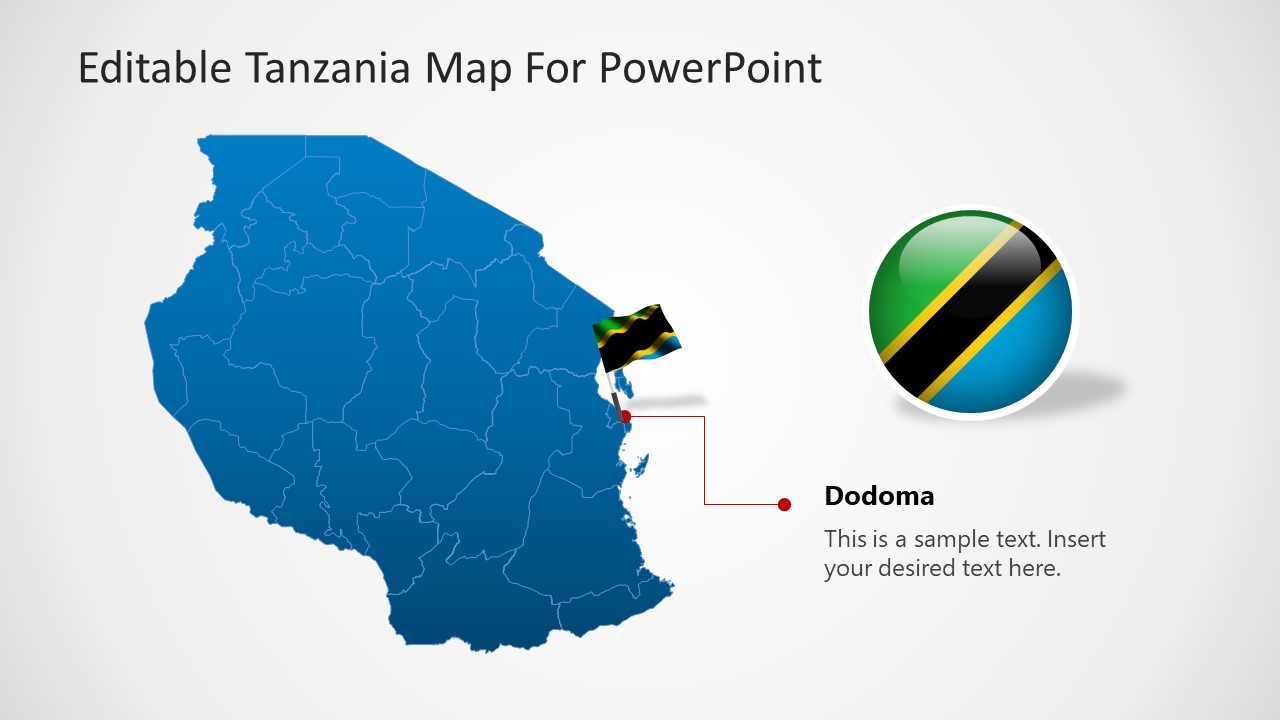
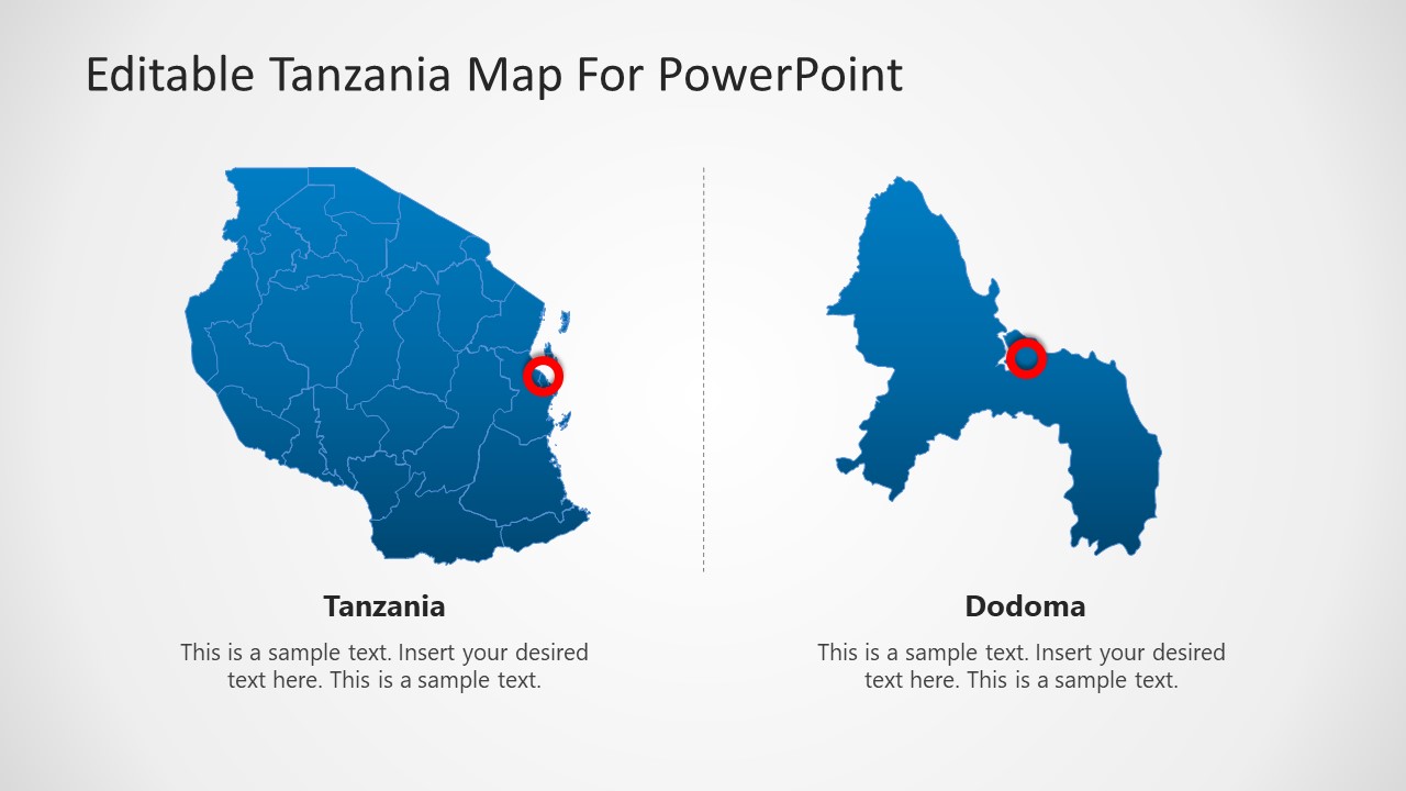
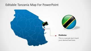
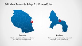
Our Tanzania Map provides different icons to complement the tools for presenting geographical locations or travel itineraries. Also , a special slides provides the national flag, and a locations marked with a circle to represent the importance of the city of Dodoma, Tanzania’s Capital city.
Save countless hours of manual work and impress your audience with our outstanding Editable Tanzania PowerPoint Map. Captivate their attention while you take advantage of our Maps flexibility to transmit your message.
