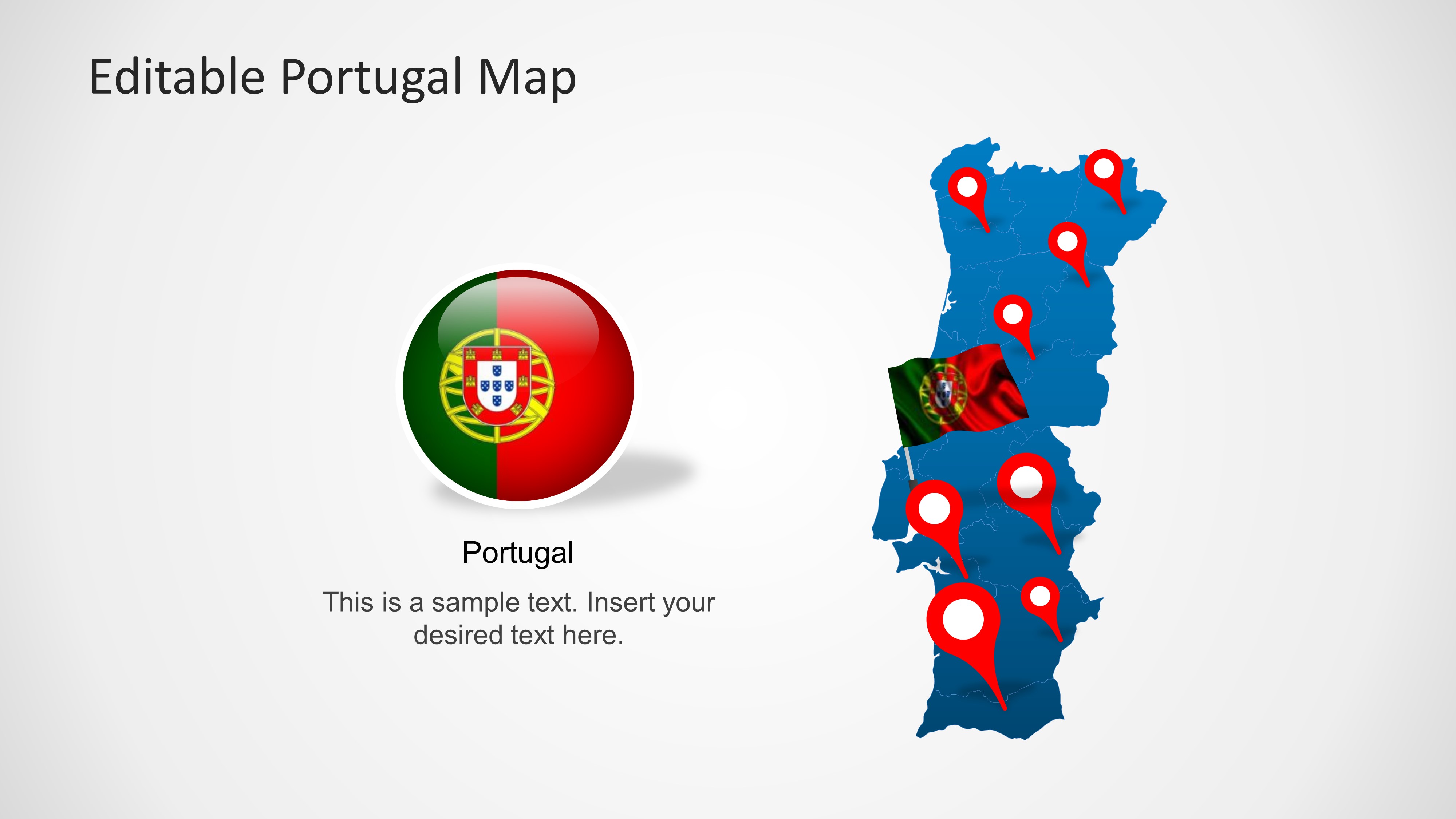
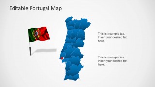
Editable Portugal Map Template for PowerPoint is a presentation template containing maps of Portugal with states that was created with PowerPoint shapes so you can easily change the colors, shape effects, etc. You can download this map of Portugal template to make creative PowerPoint presentations in Microsoft PowerPoint showing maps and territories.
Alternatively you can download the collection of PowerPoint maps for presentations or find very creative PowerPoint templates for professional PowerPoint presentations.
What’s inside this template
Example presentation scenarios
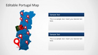
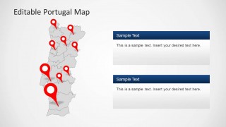
- A sales manager can present branch coverage in Portugal by placing red pins on the full-country map and explaining each location with the right-side callout panels.
- A tourism presenter can introduce destinations or route stops by using the flag visuals, full-country map, and highlighted location markers to keep the audience oriented.
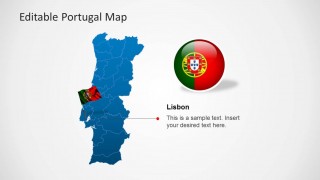
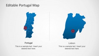
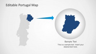
- A consultant can explain a Portugal market-entry plan by starting with the territory map, then using the Lisbon callout and regional zoom to discuss priority areas.
- An educator can teach Portuguese geography by showing district boundaries, comparing the national map with the Lisbon detail slide, and highlighting selected regions.
Features
- 100% editable presentation template
- Compatible with Microsoft PowerPoint and Google Slides
- 16:9 aspect ratio slides
- Scalable vector shapes, icons and illustrations
- AI-Ready for Microsoft Copilot and Claude
- Instant access and download
Frequently asked questions
Q: How should a presenter show several Portugal locations without making the map feel crowded?
A: Start with the clean full-country map to orient the audience, then move to the pin slides only for the locations that matter most. Use the larger red pin as the primary focus and put explanation text in the adjacent callout panels. Avoid labeling every district unless the audience needs that level of geographic detail.
Q: Who is this Portugal map template best suited for?
A: It is best for presenters who need to explain where activity is happening in Portugal, not just describe it in text. Sales teams, tourism planners, educators, consultants, and public-sector speakers can use the maps, pins, Lisbon detail, and regional zoom to make location-based decisions easier to follow.
Q: Why does the template combine maps, pins, flags, and zoomed regions?
A: The design uses familiar location metaphors to reduce explanation time. Pins signal exact points, the flag reinforces the country context, and the magnifier-style regional zoom moves the audience from national overview to local detail. This sequence helps viewers understand both the whole territory and the selected area.


Editable Portugal Map Template for PowerPoint
8-slide Portugal map presentation template with territory maps, location pins, and Lisbon callouts
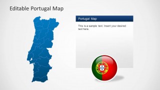
Editable Portugal Map Template for PowerPoint is an 8-slide 16:9 map presentation template for Microsoft PowerPoint and Google Slides. It includes blue Portugal territory maps, red location pin maps, flag and badge visuals, Lisbon detail callouts, and a regional zoom layout for business, tourism, education, or public-sector geographic briefings.
- Category
- Maps
- Rating


 Loading...
- Aspect ratio
- 16:9
- Item ID
- 6323-01
- Colors
 Microsoft PowerPoint
  Microsoft Copilot
  Claude for PowerPoint
 Other formats supported
Subscribe today and get immediate
access to download our PowerPoint templates.