Editable Morocco PowerPoint Map
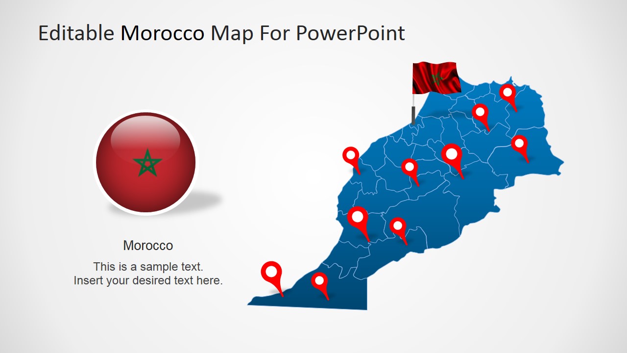
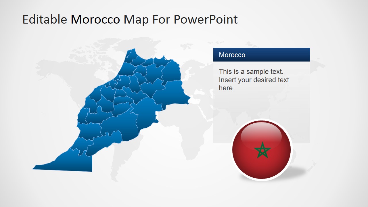
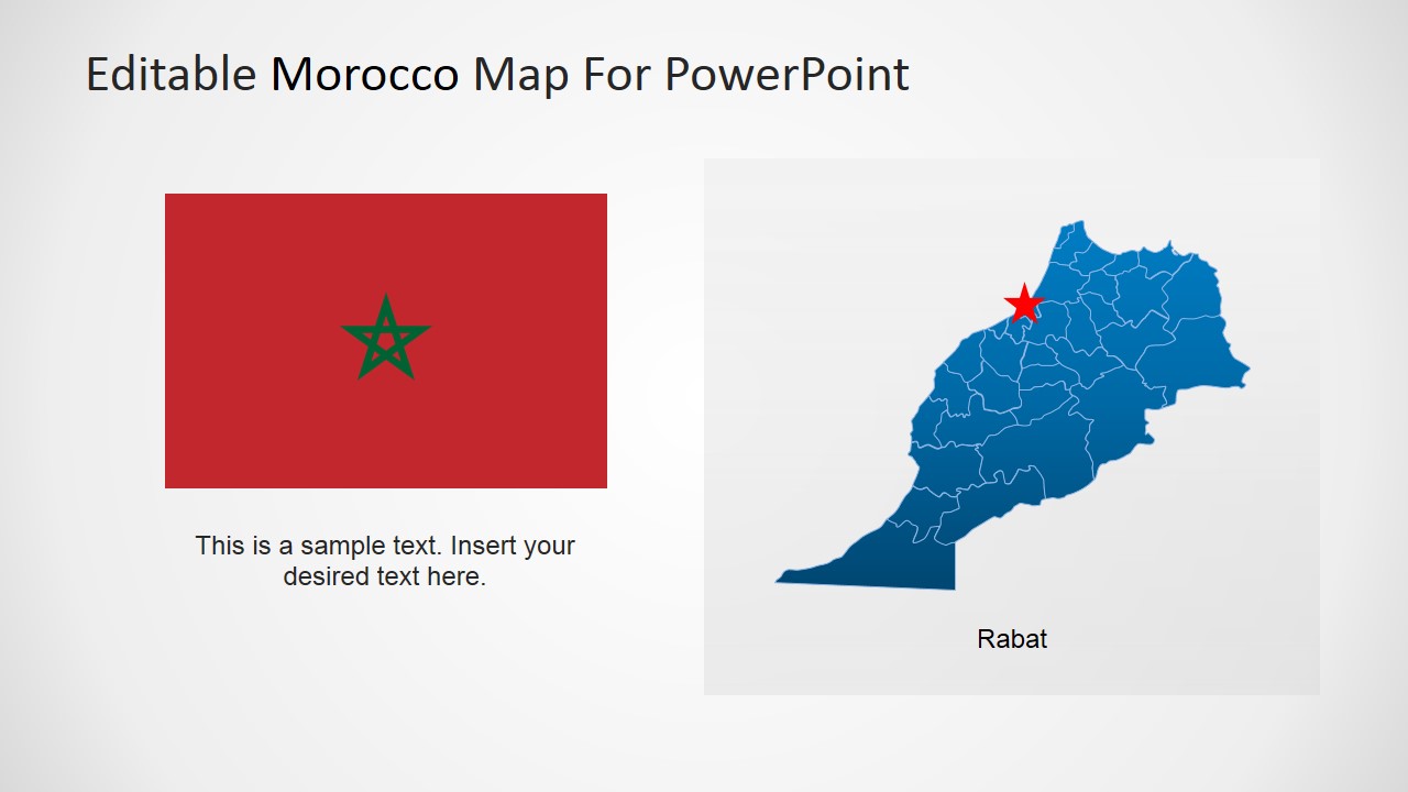
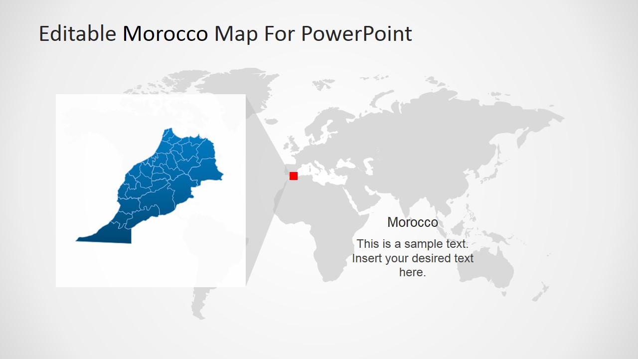
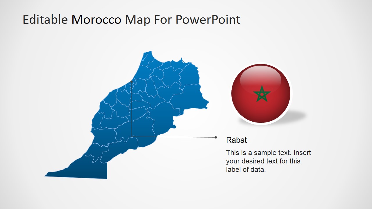
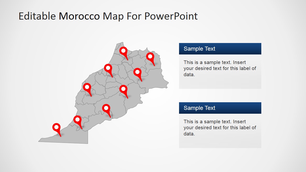
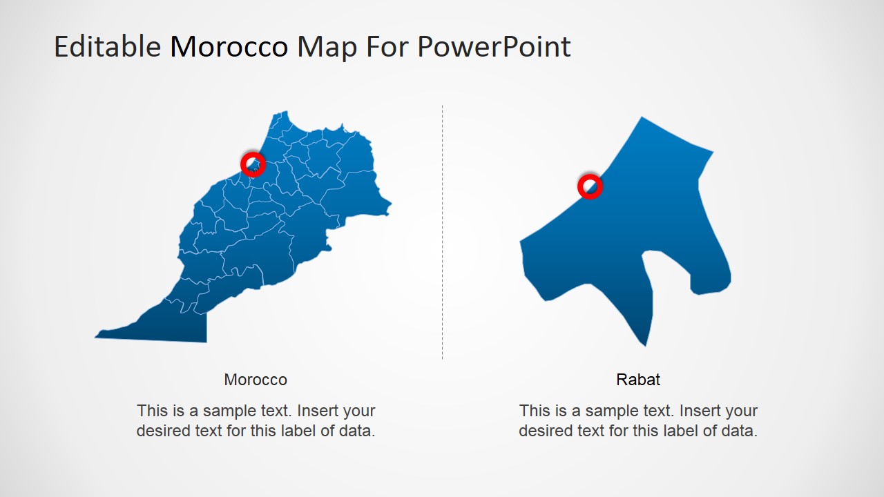
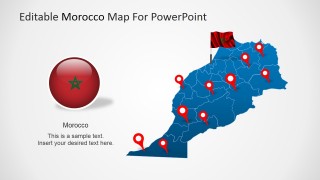
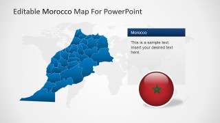
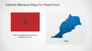
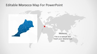
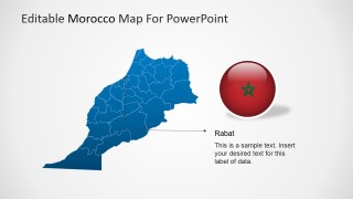
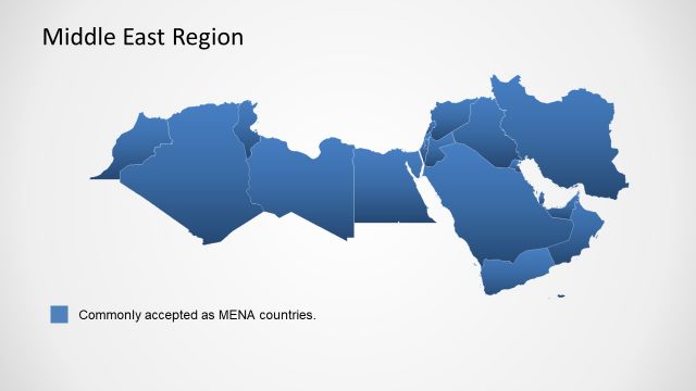
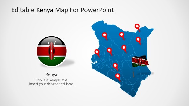
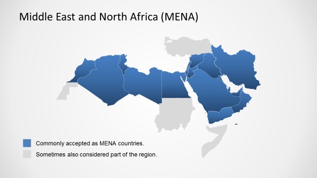
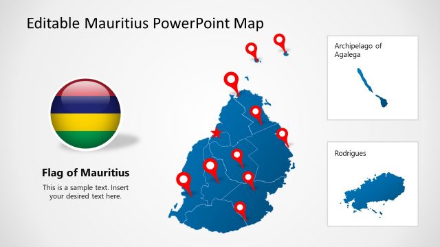
The Editable Morocco PowerPoint Map is a professional PowerPoint Presentation featuring different versions of the Political outline of the Kingdom of Morocco.
Morocco is a country in the North of Africa, bordering the Mediterranean Ocean and separated from Spain by the Strait of Gibraltar. At the east, it borders with Algeria, at the west with the Atlantic ocean and at the south with Western Sahara. Morocco controls most of Western Sahara so it is said that it also border with Mauritania at the south. The capital city is called Rabat, but the most populous city is Casablanca. Morocco has been an independent country/region for a long time. Morocco’s is a constitutional monarchy, with elections for the parliament and prime minister. The ruler is known as the King of Morocco, which holds legislative and executive powers.
Morocco’s economy is considered liberal, and governed by market laws. Private sector if growing steadily and most of government controlled companies have been privatized in the last decades. The main industries are mining, construction and manufacturing. Also services sector is very strong.
Morocco has an ancient culture, arid climate and beautiful coastlines making it a wonderful Tourist spot. Tourism is growing and becoming one of major industries of Morocco.
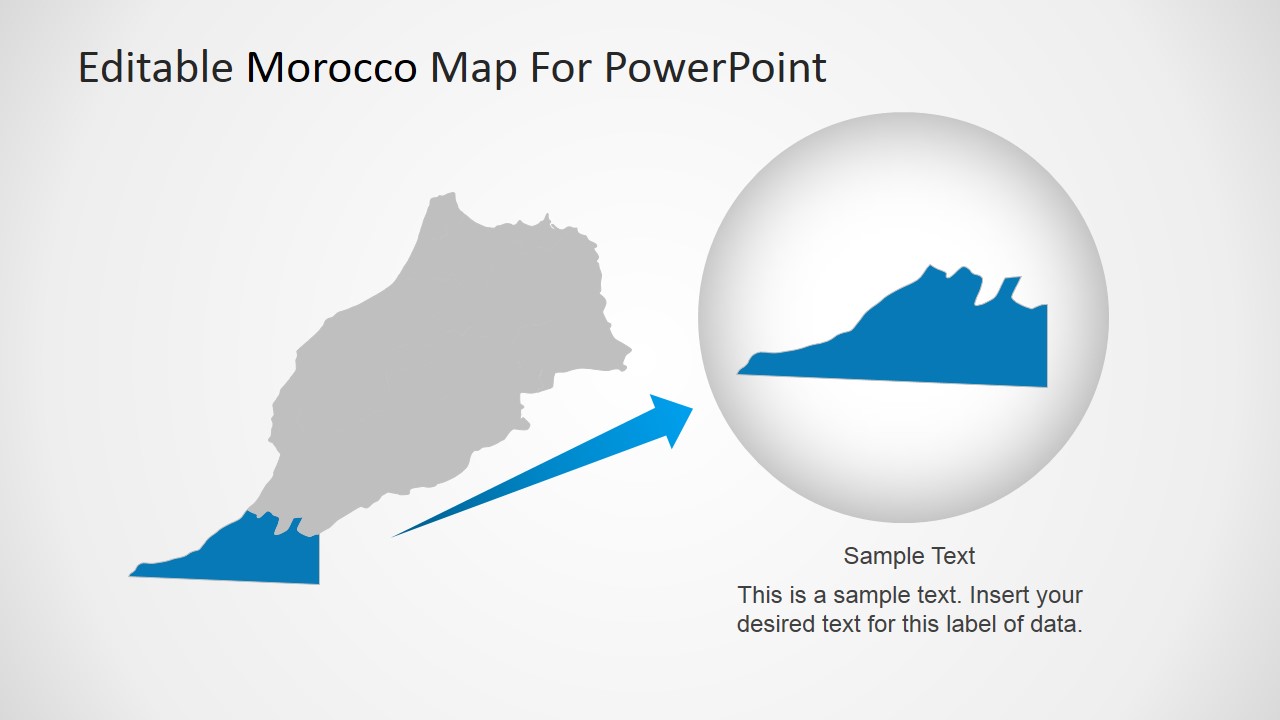
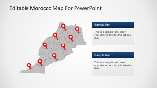
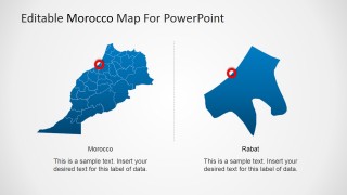
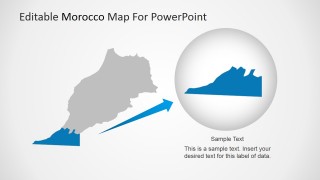
The Editable Morocco PowerPoint Map can be used for geography lectures, travel plans or business trips. Users can locate the different cities or even highlight specific states and magnify them, without losing any resolution or visual quality. The PowerPoint Maps can be applied in existing presentations and customized to reflect existing Themes.
Impress your audience with the ready to edit Editable Morocco PowerPoint Map and create presentations that appeal to global audiences.
