Editable El Salvador Map PowerPoint Template
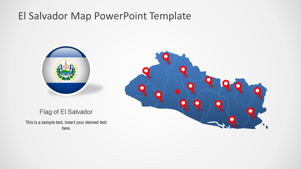
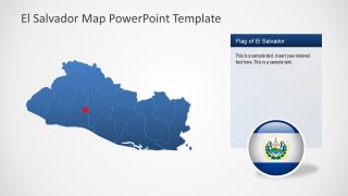
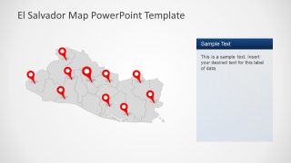
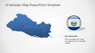
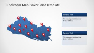
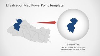
The Editable El Salvador Map PowerPoint Template is a vector map showing boundaries of Central American country. It is a densely populated country that shares borders with Guatemala and Honduras. This map presents 8 slides of political boundaries on country, its 14 administrative divisions. These boundaries display an outline map of El Salvador to highlight different departments or major cities. Such as San Salvador, Santa Ana, San Miguel, Santa Tecla, and Ahuachapan. The silhouette map PowerPoint templates of this country will assist presenters to label divisions. Therefore, these editable maps could be used for statistical data representation over geographical areas.
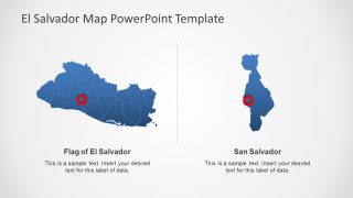
The political map template of El Salvador is an ideal present country’s social and economic situational on international forums. These PowerPoint map templates could be transformed into google slides themes. Similarly, the presentation of outlined administrative departments can help create unique reports. Because users can edit and customize these departments by changing colors or location markers. In this way, presenters can highlight individual departments of El Salvador. Further, the 8 slides map template includes two layouts of impressive zoom-style maps. The users can create similar slides for additional segments by editing shapes.
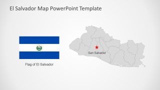
The Editable El Salvador Map PowerPoint Template includes blue and gray color maps. Each map shows location pin markers, flat, and text placeholders. These are editable PowerPoint objects that users can customize according to their presentation PowerPoint background.
